Lantreise Wood

Wood, Forest in Cornwall

England

Lantreise Wood

A390 east of East Taphouse
A390 east of East Taphouse Credit: David Smith

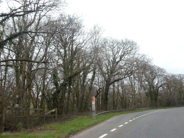
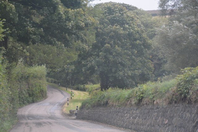
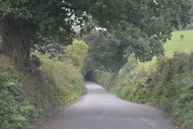
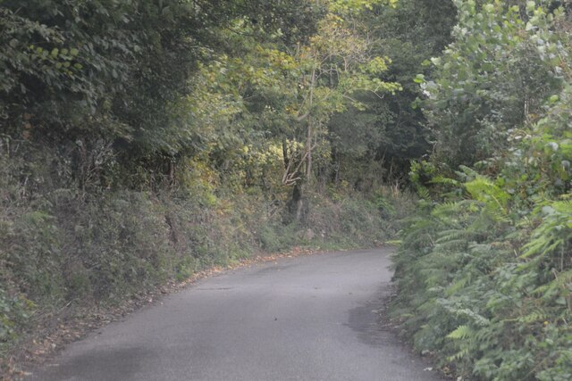
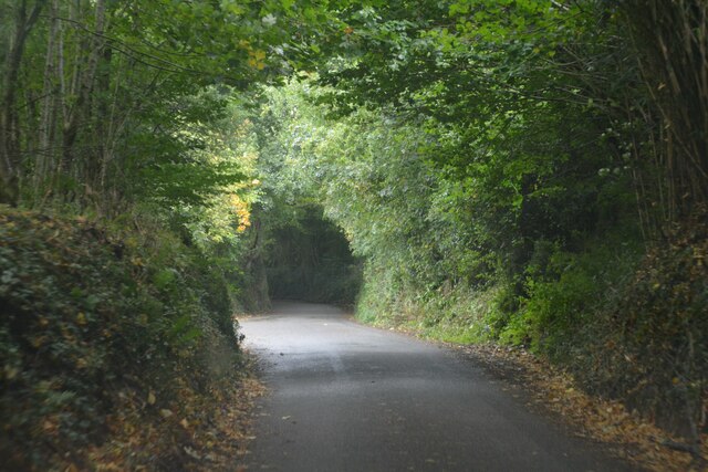
Lantreise Wood is a picturesque woodland located in Cornwall, England. Stretching across a vast area, the wood is known for its natural beauty, diverse wildlife, and tranquil atmosphere. Nestled amidst the rolling hills and lush greenery, Lantreise Wood offers a serene escape from the bustling city life.

The wood is home to a wide variety of tree species, including oak, beech, and birch, which create a dense canopy overhead, providing shade and shelter for the countless flora and fauna that call the wood their home. The forest floor is adorned with an array of wildflowers, ferns, and moss, creating a vibrant carpet of colors.

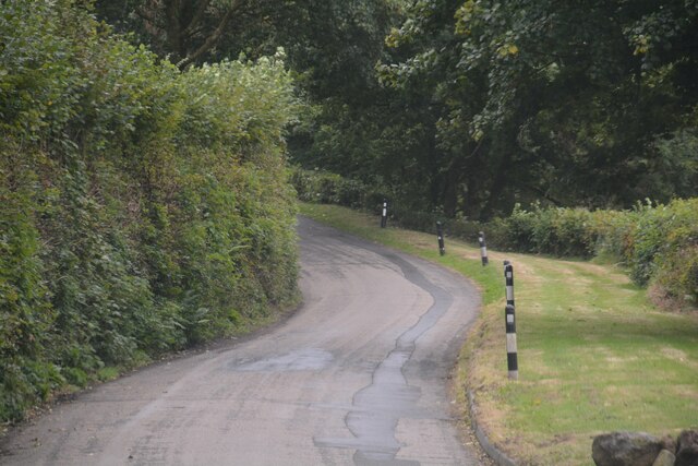
Visitors to Lantreise Wood can enjoy a leisurely stroll along the well-maintained walking trails that wind through the forest. As they wander deeper into the wood, they may be greeted by the songs of birds such as the blackbird and the chiffchaff. Squirrels can often be spotted scampering among the treetops, while rabbits and deer occasionally make appearances, adding to the woodland's charm.

For nature enthusiasts, Lantreise Wood provides a great opportunity for birdwatching and wildlife photography. The peaceful ambiance of the wood also makes it an ideal spot for meditation, yoga, or simply unwinding amidst nature's embrace.

Lantreise Wood is easily accessible and is located in close proximity to several nearby villages and towns. Whether one seeks a quiet retreat or an opportunity to connect with nature, Lantreise Wood offers an enchanting experience for visitors of all ages.

If you have any feedback on the listing, please let us know in the comments section below.

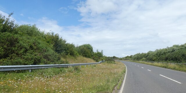
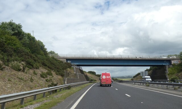
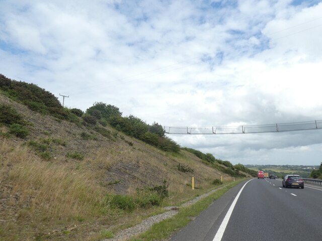
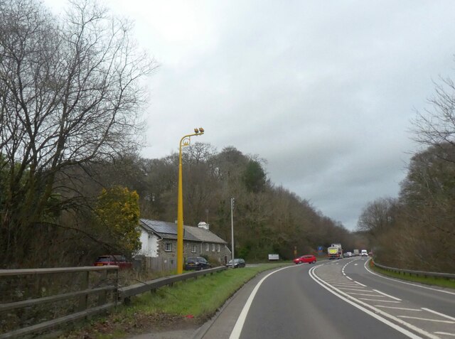
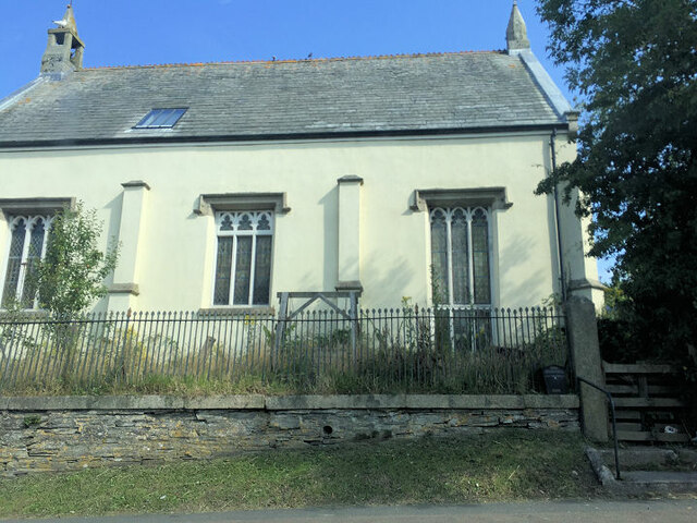
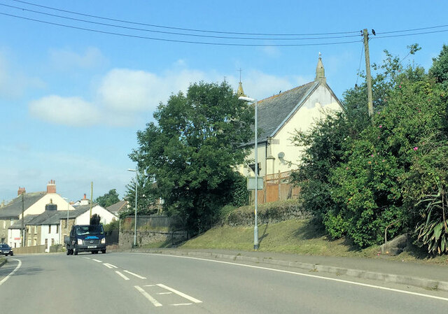
Lantreise Wood Images

Images are sourced within 2km of 50.463972/-4.5405299 or Grid Reference SX1965. Thanks to Geograph Open Source API. All images are credited.

A390 east of East Taphouse
Minor road from A390 to Doublebois
Bus stop and shelter by A390
A390 passing north of Treburgle Water The road has been contoured through a slight cutting on the left and then to cross a shallow valley of the West Looe River on an embankment
A390 passing north of Treburgle Water
The road has been contoured through a slight cutting on the left and then to cross a shallow valley of the West Looe River on an embankment
Havett Road bridge over A390
Bat bridge over A38 cutting north of Dobwalls An attempt to provide bats with a means for navigating across the road
Bat bridge over A38 cutting north of Dobwalls
An attempt to provide bats with a means for navigating across the road
Speed cameras by A38 in Pengelly Wood The A38 is also known as the Devon Expressway. It runs 292 miles from Bodmin to Mansfield, across the South West and Midlands. Primary places visited include Liskeard, Plymouth, Exeter, Taunton, Bridgwater, Bristol, Gloucester, Worcester, Bromsgrove, Birmingham, Lichfield, Burton upon Trent and Derby.
Wikipedia: <span class="nowrap"><a title="http://en.wikipedia.org/wiki/A38_road" rel="nofollow ugc noopener" href="http://en.wikipedia.org/wiki/A38_road">Link</a><img style="margin-left:2px;" alt="External link" title="External link - shift click to open in new window" src="https://s1.geograph.org.uk/img/external.png" width="10" height="10"/></span>
Speed cameras by A38 in Pengelly Wood
The A38 is also known as the Devon Expressway. It runs 292 miles from Bodmin to Mansfield, across the South West and Midlands. Primary places visited include Liskeard, Plymouth, Exeter, Taunton, Bridgwater, Bristol, Gloucester, Worcester, Bromsgrove, Birmingham, Lichfield, Burton upon Trent and Derby. Wikipedia: LinkExternal link
Lay-by by A38 in Doublebois Wood
St Cleer : Country Lane A small lane heads through the countryside.
St Cleer : Country Lane
A small lane heads through the countryside.
Wesley House
Wesley House
Dobwalls United Church
The Old Church
The Old Church
The Old Church
The Old Church
St Neot : Country Lane A small lane heads through the Cornish countryside.
St Neot : Country Lane
A small lane heads through the Cornish countryside.
St Neot : Country Lane A small lane heads through the Cornish countryside.
St Neot : Country Lane
A small lane heads through the Cornish countryside.
St Neot : Country Lane A small lane heads through the Cornish countryside.
St Neot : Country Lane
A small lane heads through the Cornish countryside.
St Cleer : Country Lane A small lane heads through the Cornish countryside.
St Cleer : Country Lane
A small lane heads through the Cornish countryside.
St Cleer : Country Lane A small lane heads through the Cornish countryside.
St Cleer : Country Lane
A small lane heads through the Cornish countryside.
Show me another place!

Lantreise Wood is located at Grid Ref: SX1965 (Lat: 50.463972, Lng: -4.5405299)

Unitary Authority: Cornwall

Police Authority: Devon and Cornwall

What 3 Words

///routines.elections.youthful. Near Dobwalls, Cornwall

Related Wikis

Doublebois

Doublebois (Cornish: Dewgoes) (pronounced DUH-bəl-BOY-z), is a village in south Cornwall, England, United Kingdom. It is in the civil parish of Dobwalls...

Treverbyn Vean

Treverbyn Vean is a 19th-century mansion in St Neot, Cornwall. Its exterior was designed by George Gilbert Scott and its interior by William Burges, two...

Ocean Rain

Ocean Rain is the fourth studio album by the English post-punk band Echo & the Bunnymen. It was released on 4 May 1984 and reached number four on the UK...

Carnglaze Caverns

Carnglaze Caverns consists of three man-made caverns formed as part of a slate quarry in the Loveny Valley, near the village of St Neot, Liskeard, Cornwall...

Nearby Amenities

Located within 500m of 50.463972,-4.5405299
Golf: pin
Lat/Long: 50.4614989/-4.5356278
Golf: pin
Lat/Long: 50.4599407/-4.5374243
Golf: pin
Lat/Long: 50.4617385/-4.536044
Golf: pin
Lat/Long: 50.4603704/-4.5399969
Golf: pin
Lat/Long: 50.4620536/-4.5387331
The data included in this document is from www.openstreetmap.org. The data is made available under ODbL.

Have you been to Lantreise Wood?

Leave your review of Lantreise Wood below (or comments, questions and feedback).