Bodithiel Wood

Wood, Forest in Cornwall

England

Bodithiel Wood

Approach to lay-by off A38 in Hollowmarsh Wood The lay-by appears to be the result of road realignment; it is at a lower level than the road, which possibly explains this long approach road
Approach to lay-by off A38 in Hollowmarsh Wood Credit: David Smith

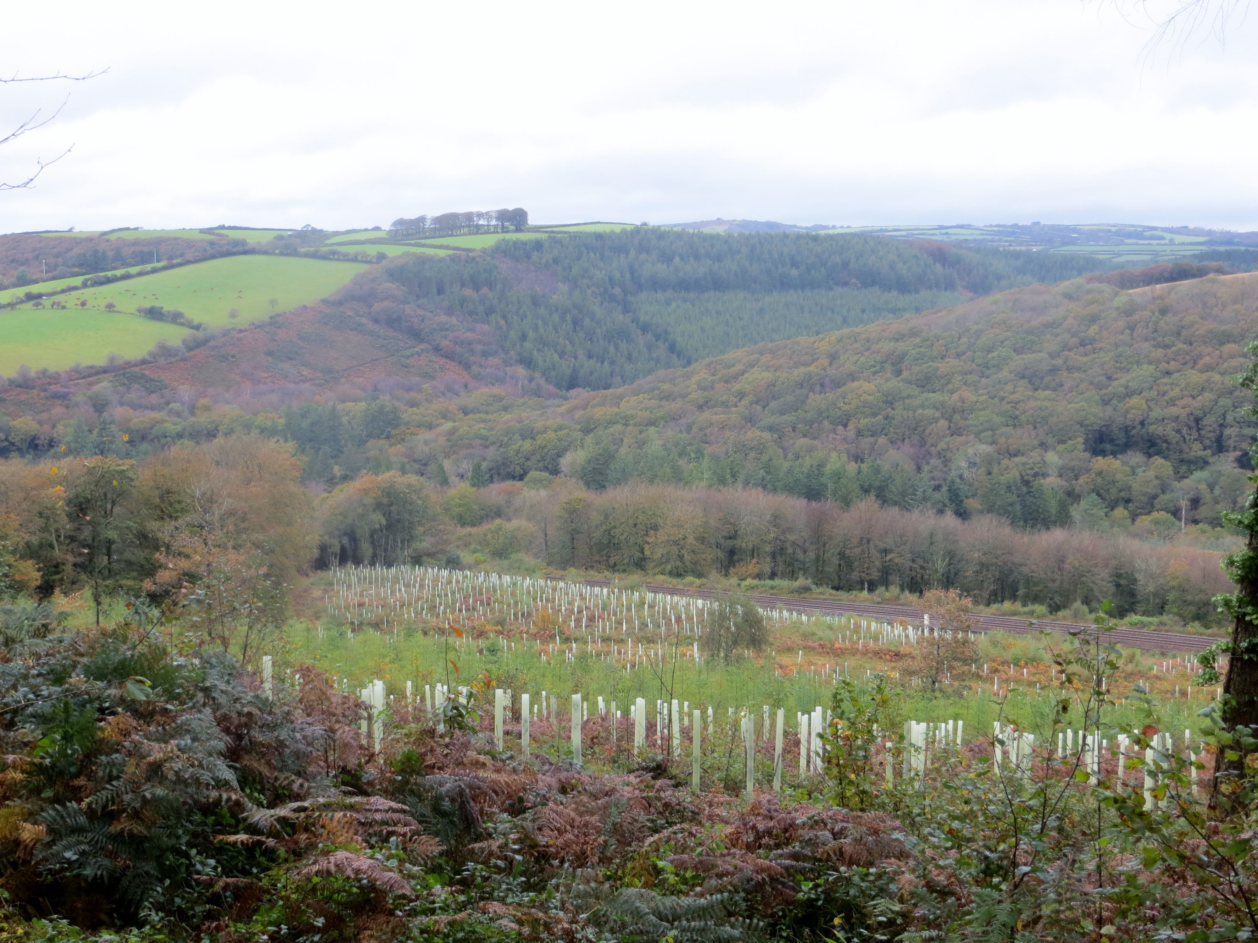
Bodithiel Wood is a dense forest located in Cornwall, England. Covering an area of approximately 100 acres, the wood is known for its diverse range of flora and fauna. The forest is primarily made up of oak, beech, and ash trees, with patches of holly and rhododendron adding to the natural beauty of the area.

Bodithiel Wood is a popular destination for nature lovers and hikers, with well-maintained trails crisscrossing through the forest. Visitors can enjoy peaceful walks among the towering trees, listening to the sounds of birds chirping and leaves rustling in the gentle breeze.

The wood is also home to a variety of wildlife, including deer, foxes, and a wide array of bird species. Nature enthusiasts can spot rare species of butterflies and insects in the wood, making it a hotspot for wildlife photography and observation.

Overall, Bodithiel Wood is a tranquil and picturesque forest that offers a peaceful retreat from the hustle and bustle of everyday life. Its natural beauty and rich biodiversity make it a must-visit destination for anyone seeking to connect with nature in Cornwall.

If you have any feedback on the listing, please let us know in the comments section below.

Bodithiel Wood Images

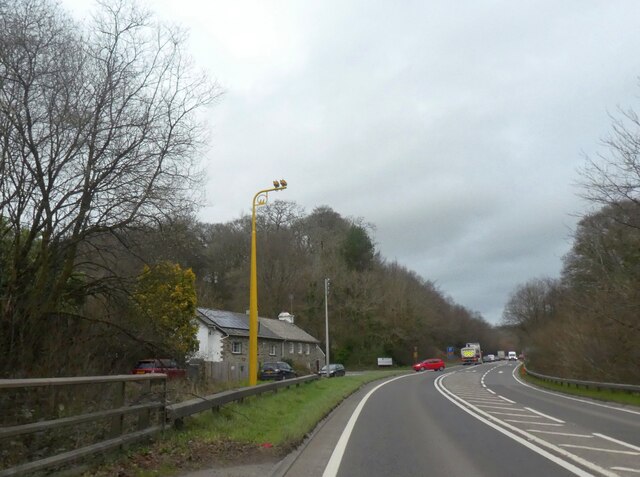
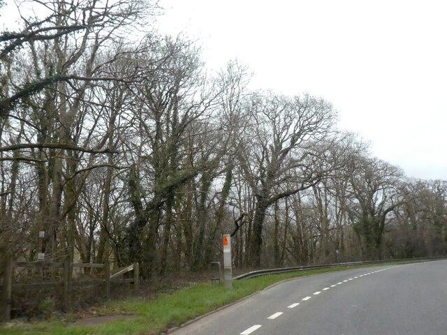
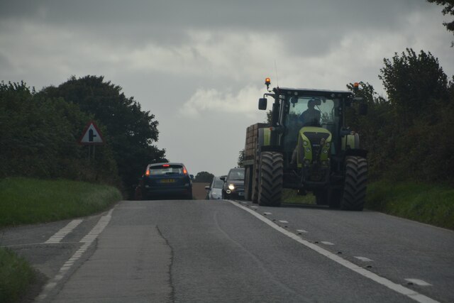
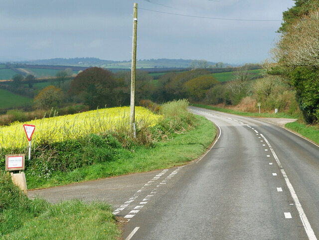
Images are sourced within 2km of 50.4526/-4.5750004 or Grid Reference SX1764. Thanks to Geograph Open Source API. All images are credited.

Approach to lay-by off A38 in Hollowmarsh Wood The lay-by appears to be the result of road realignment; it is at a lower level than the road, which possibly explains this long approach road
Approach to lay-by off A38 in Hollowmarsh Wood
The lay-by appears to be the result of road realignment; it is at a lower level than the road, which possibly explains this long approach road
Road to Tredinnick from A38
A38 in Lewarne Great Wood The A38 is also known as the Devon Expressway. It runs 292 miles from Bodmin to Mansfield, across the South West and Midlands. Primary places visited include Liskeard, Plymouth, Exeter, Taunton, Bridgwater, Bristol, Gloucester, Worcester, Bromsgrove, Birmingham, Lichfield, Burton upon Trent and Derby.
Wikipedia: <span class="nowrap"><a title="http://en.wikipedia.org/wiki/A38_road" rel="nofollow ugc noopener" href="http://en.wikipedia.org/wiki/A38_road">Link</a><img style="margin-left:2px;" alt="External link" title="External link - shift click to open in new window" src="https://s1.geograph.org.uk/img/external.png" width="10" height="10"/></span>
A38 in Lewarne Great Wood
The A38 is also known as the Devon Expressway. It runs 292 miles from Bodmin to Mansfield, across the South West and Midlands. Primary places visited include Liskeard, Plymouth, Exeter, Taunton, Bridgwater, Bristol, Gloucester, Worcester, Bromsgrove, Birmingham, Lichfield, Burton upon Trent and Derby. Wikipedia: LinkExternal link
Lodge and gates for Lewarne Access to the former house at Lewarne
Lodge and gates for Lewarne
Access to the former house at Lewarne
A38 in Pengelly Wood The A38 is also known as the Devon Expressway. It runs 292 miles from Bodmin to Mansfield, across the South West and Midlands. Primary places visited include Liskeard, Plymouth, Exeter, Taunton, Bridgwater, Bristol, Gloucester, Worcester, Bromsgrove, Birmingham, Lichfield, Burton upon Trent and Derby.
Wikipedia: <span class="nowrap"><a title="http://en.wikipedia.org/wiki/A38_road" rel="nofollow ugc noopener" href="http://en.wikipedia.org/wiki/A38_road">Link</a><img style="margin-left:2px;" alt="External link" title="External link - shift click to open in new window" src="https://s1.geograph.org.uk/img/external.png" width="10" height="10"/></span>
A38 in Pengelly Wood
The A38 is also known as the Devon Expressway. It runs 292 miles from Bodmin to Mansfield, across the South West and Midlands. Primary places visited include Liskeard, Plymouth, Exeter, Taunton, Bridgwater, Bristol, Gloucester, Worcester, Bromsgrove, Birmingham, Lichfield, Burton upon Trent and Derby. Wikipedia: LinkExternal link
Speed cameras by A38 in Pengelly Wood The A38 is also known as the Devon Expressway. It runs 292 miles from Bodmin to Mansfield, across the South West and Midlands. Primary places visited include Liskeard, Plymouth, Exeter, Taunton, Bridgwater, Bristol, Gloucester, Worcester, Bromsgrove, Birmingham, Lichfield, Burton upon Trent and Derby.
Wikipedia: <span class="nowrap"><a title="http://en.wikipedia.org/wiki/A38_road" rel="nofollow ugc noopener" href="http://en.wikipedia.org/wiki/A38_road">Link</a><img style="margin-left:2px;" alt="External link" title="External link - shift click to open in new window" src="https://s1.geograph.org.uk/img/external.png" width="10" height="10"/></span>
Speed cameras by A38 in Pengelly Wood
The A38 is also known as the Devon Expressway. It runs 292 miles from Bodmin to Mansfield, across the South West and Midlands. Primary places visited include Liskeard, Plymouth, Exeter, Taunton, Bridgwater, Bristol, Gloucester, Worcester, Bromsgrove, Birmingham, Lichfield, Burton upon Trent and Derby. Wikipedia: LinkExternal link
Lay-by by A38 in Doublebois Wood
Braddock : A390 Looking along the road.
Braddock : A390
Looking along the road.
Braddock : North Lane A lane heads through the countryside.
Braddock : North Lane
A lane heads through the countryside.
Wooded valley by Derricombe
A390 between East and West Taphouse The A390  runs for 60 miles between Tavistock and a roundabout with the A30 at Three Burrows, 5 miles north west of the city of Truro in Cornwall, via Lostwithiel, St Blazey, and St Austell. It is an important road as it forms part of the main route (the Truro to Dobwalls section) from Truro to Plymouth. It can be used to travel along the spine of Cornwall as a more leisurely drive instead of using the A30.
A390 between East and West Taphouse
The A390 runs for 60 miles between Tavistock and a roundabout with the A30 at Three Burrows, 5 miles north west of the city of Truro in Cornwall, via Lostwithiel, St Blazey, and St Austell. It is an important road as it forms part of the main route (the Truro to Dobwalls section) from Truro to Plymouth. It can be used to travel along the spine of Cornwall as a more leisurely drive instead of using the A30.
A390, Middle Taphouse Middle Taphouse (or Mid Taphouse) is a hamlet in east Cornwall, about five miles west of Liskeard along the A390 road. It consists of a small group of bungalows and houses.  The hamlet of West Taphouse is a little further west along the A390 and the small village of East Taphouse is further east.
A390, Middle Taphouse
Middle Taphouse (or Mid Taphouse) is a hamlet in east Cornwall, about five miles west of Liskeard along the A390 road. It consists of a small group of bungalows and houses. The hamlet of West Taphouse is a little further west along the A390 and the small village of East Taphouse is further east.
Middle Farm The A390  runs for 60 miles between Tavistock and a roundabout with the A30 at Three Burrows, 5 miles north west of the city of Truro in Cornwall, via Lostwithiel, St Blazey, and St Austell. It is an important road as it forms part of the main route (the Truro to Dobwalls section) from Truro to Plymouth. It can be used to travel along the spine of Cornwall as a more leisurely drive instead of using the A30.
Middle Farm
The A390 runs for 60 miles between Tavistock and a roundabout with the A30 at Three Burrows, 5 miles north west of the city of Truro in Cornwall, via Lostwithiel, St Blazey, and St Austell. It is an important road as it forms part of the main route (the Truro to Dobwalls section) from Truro to Plymouth. It can be used to travel along the spine of Cornwall as a more leisurely drive instead of using the A30.
Middle Taphouse Middle Taphouse (or Mid Taphouse) is a hamlet in east Cornwall, about five miles west of Liskeard along the A390 road. It consists of a small group of bungalows and houses.  The hamlet of West Taphouse is a little further west along the A390 and the small village of East Taphouse is further east.
Middle Taphouse
Middle Taphouse (or Mid Taphouse) is a hamlet in east Cornwall, about five miles west of Liskeard along the A390 road. It consists of a small group of bungalows and houses. The hamlet of West Taphouse is a little further west along the A390 and the small village of East Taphouse is further east.
Braddock : East Drive Looking along East Drive by East Lodge.
Braddock : East Drive
Looking along East Drive by East Lodge.
Braddock : Track A track heads through the countryside.
Braddock : Track
A track heads through the countryside.
Braddock : A390 Looking along the A390.
Braddock : A390
Looking along the A390.
Braddock : North Lane Looking along North Lane.
Braddock : North Lane
Looking along North Lane.
Show me another place!

Bodithiel Wood is located at Grid Ref: SX1764 (Lat: 50.4526, Lng: -4.5750004)

Unitary Authority: Cornwall

Police Authority: Devon and Cornwall

What 3 Words

///repelled.downsize.liners. Near Dobwalls, Cornwall

Related Wikis

Largin Castle

Largin Castle is a contour hillfort and scheduled monument in Cornwall, England, presumed to date from the Iron Age. Largin Castle is situated approximately...

Treverbyn Vean

Treverbyn Vean is a 19th-century mansion in St Neot, Cornwall. Its exterior was designed by George Gilbert Scott and its interior by William Burges, two...
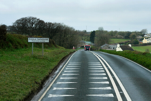
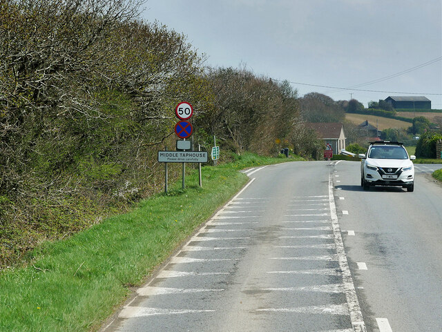
Middle Taphouse

Middle Taphouse (or Mid Taphouse) is a hamlet in east Cornwall, England, about five miles (8.0 km) west of Liskeard along the A390 road. It consists of...

East Taphouse

East Taphouse (Cornish: Diwotti Est) is a village in Cornwall, England, in the civil parish of St Pinnock, one mile (1.6 km) west of Doublebois on the...

Nearby Amenities

Located within 500m of 50.4526,-4.5750004
Railway: switch
Lat/Long: 50.4531537/-4.5805274
Mini Roundabout
Direction: clockwise
Lat/Long: 50.4531339/-4.5688035
Bridge Support: pier
Height: 2.2
Material: stone
Lat/Long: 50.4527349/-4.5765752
Bodmin LL1042
Railway: junction
Ref: BODM042
Ref Tiploc: BODM042
Lat/Long: 50.4531605/-4.5805227
The data included in this document is from www.openstreetmap.org. The data is made available under ODbL.

Have you been to Bodithiel Wood?

Leave your review of Bodithiel Wood below (or comments, questions and feedback).