Chaul End
Settlement in Bedfordshire
England
Chaul End
Chaul End is a small village located in the county of Bedfordshire, England. Situated on the outskirts of Luton, Chaul End is primarily a residential area with a population of around 900 people. The village is surrounded by scenic countryside and offers a peaceful and tranquil living environment.
Chaul End has a rich history dating back to the medieval period. It was originally a farming community, and evidence of this agricultural past can still be seen in the fields and farmlands surrounding the village. The name "Chaul End" is believed to derive from the Old English word "cealde," meaning "cold," and "ende," meaning "end," possibly referring to the exposed location of the village.
Although small in size, Chaul End offers a range of amenities for its residents. There is a primary school, providing education for children in the local area, as well as a village hall that hosts various community events and activities. The village is also well-connected to neighboring towns and cities, with good transport links and easy access to major road networks.
For nature enthusiasts, Chaul End is a great place to explore the surrounding countryside. There are several footpaths and bridleways that crisscross the area, offering opportunities for walking, cycling, and horse riding. The village is also close to the Chiltern Hills, an Area of Outstanding Natural Beauty, providing further outdoor recreational possibilities.
Overall, Chaul End offers a quiet and picturesque living environment with a strong sense of community. Its historical charm, combined with its convenient location and natural beauty, makes it an attractive place to reside in Bedfordshire.
If you have any feedback on the listing, please let us know in the comments section below.
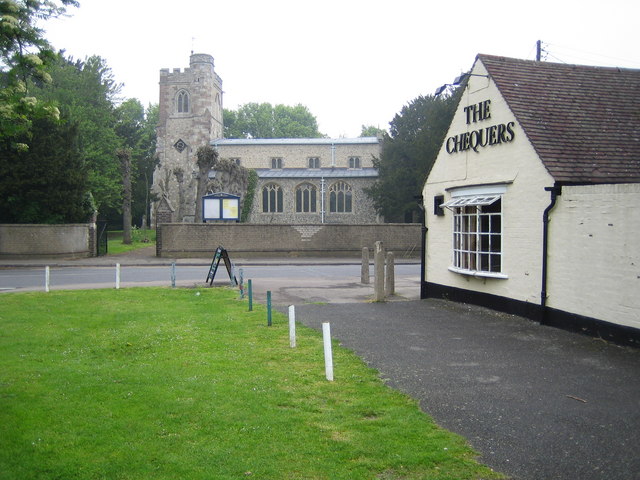
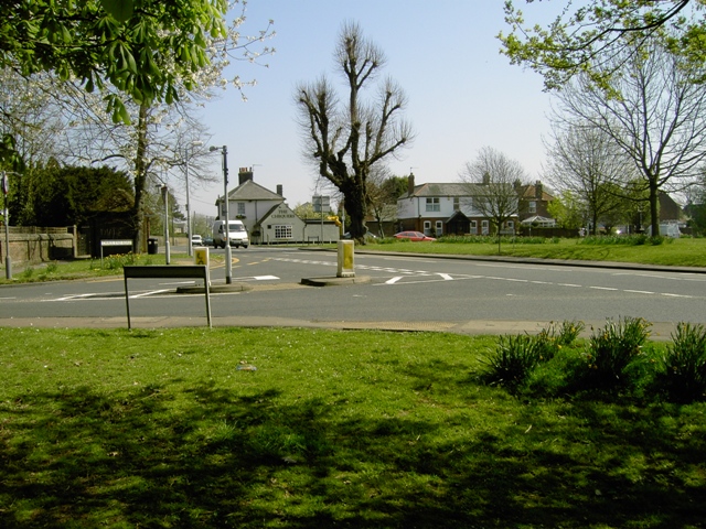
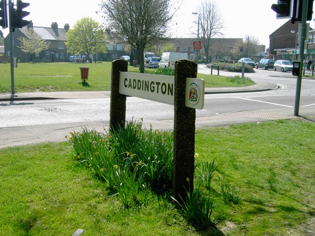
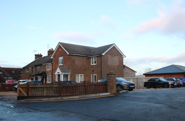
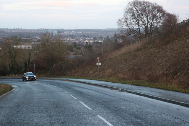
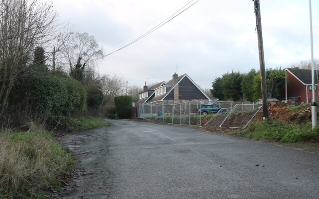
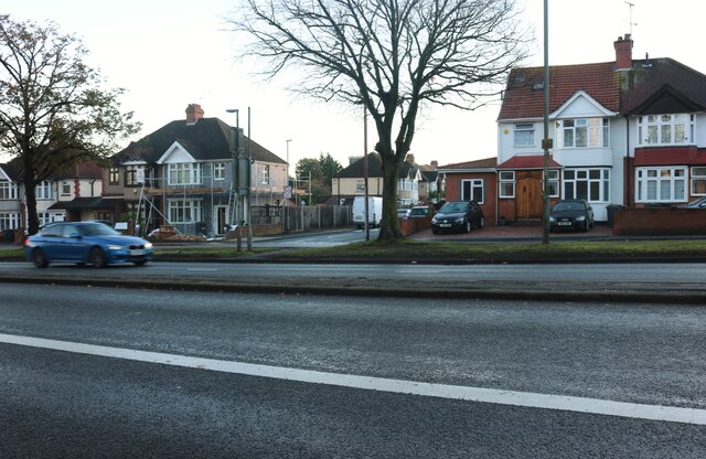
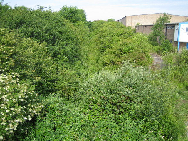
Chaul End Images
Images are sourced within 2km of 51.882146/-0.469371 or Grid Reference TL0521. Thanks to Geograph Open Source API. All images are credited.


Chaul End is located at Grid Ref: TL0521 (Lat: 51.882146, Lng: -0.469371)
Unitary Authority: Central Bedfordshire
Police Authority: Bedfordshire
What 3 Words
///trace.season.offers. Near Caddington, Bedfordshire
Nearby Locations
Related Wikis

Skimpot
Skimpot is a suburb of Luton, in Bedfordshire, England. The area is roughly bounded by Dunstable Road to the north, Hatters Way to the south, Skimpot Road...
Zouches Farm transmitting station
Zouches Farm transmitting station is a microwave radio link site located near the top of Blows Downs at Zouches Farm, Caddington, Bedfordshire, England...
Chaul End railway station
Chaul End was a temporary railway halt on the Great Northern Railway's branch line from Welwyn which served a munitions factory near Luton during the First...
Challney
Challney is a district in Luton, in the Luton district, in the ceremonial county of Bedfordshire, England, off the main arterial road leading from Luton...
Nearby Amenities
Located within 500m of 51.882146,-0.469371Have you been to Chaul End?
Leave your review of Chaul End below (or comments, questions and feedback).