Ampney St Mary
Settlement in Gloucestershire Cotswold
England
Ampney St Mary
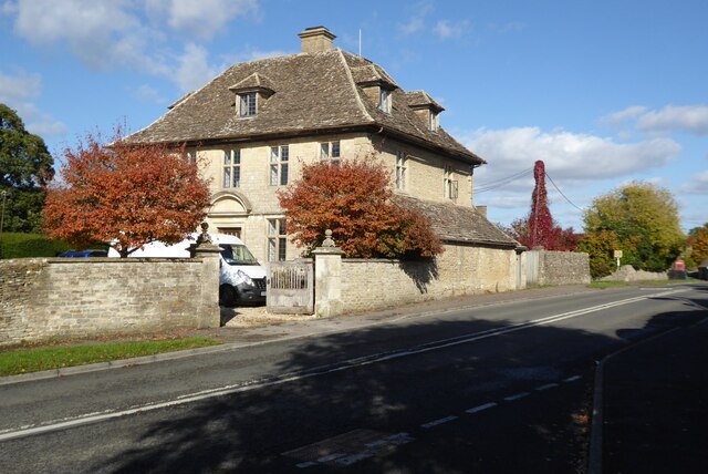
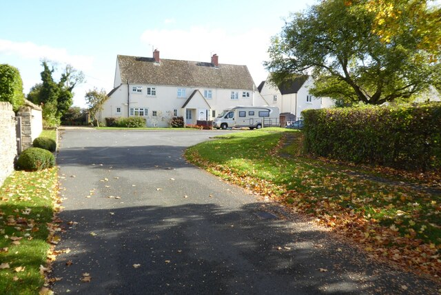
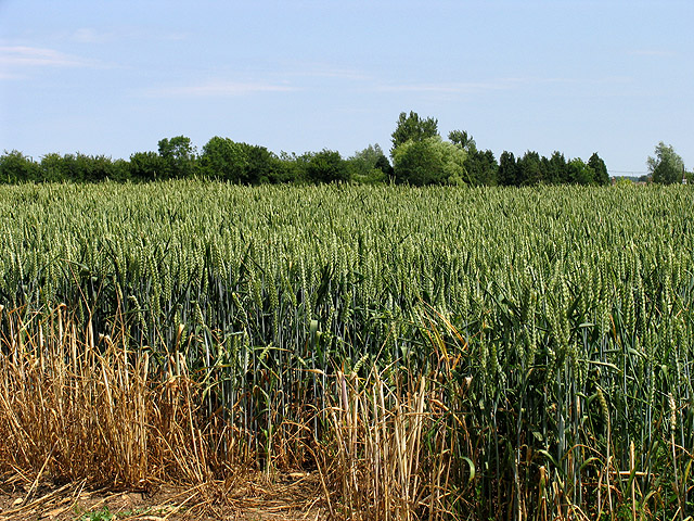
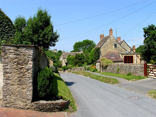
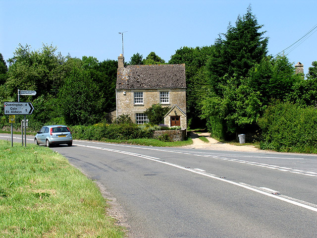
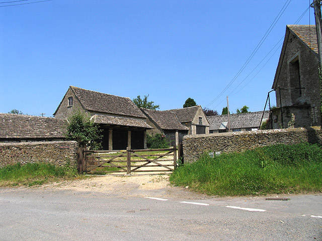
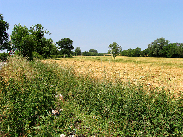
Ampney St Mary is a small village located in the county of Gloucestershire, England. Situated in the Cotswolds, it is part of the Cotswold District Council. The village is nestled amidst picturesque countryside, characterized by rolling hills, lush green fields, and charming stone cottages.
With a population of just over 200 residents, Ampney St Mary exudes a tranquil and close-knit community atmosphere. The village is primarily residential, and its residents enjoy a peaceful and idyllic lifestyle away from the hustle and bustle of larger towns and cities.
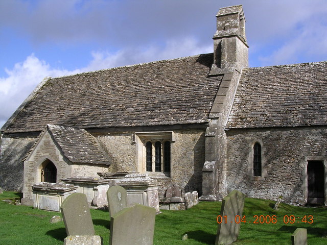
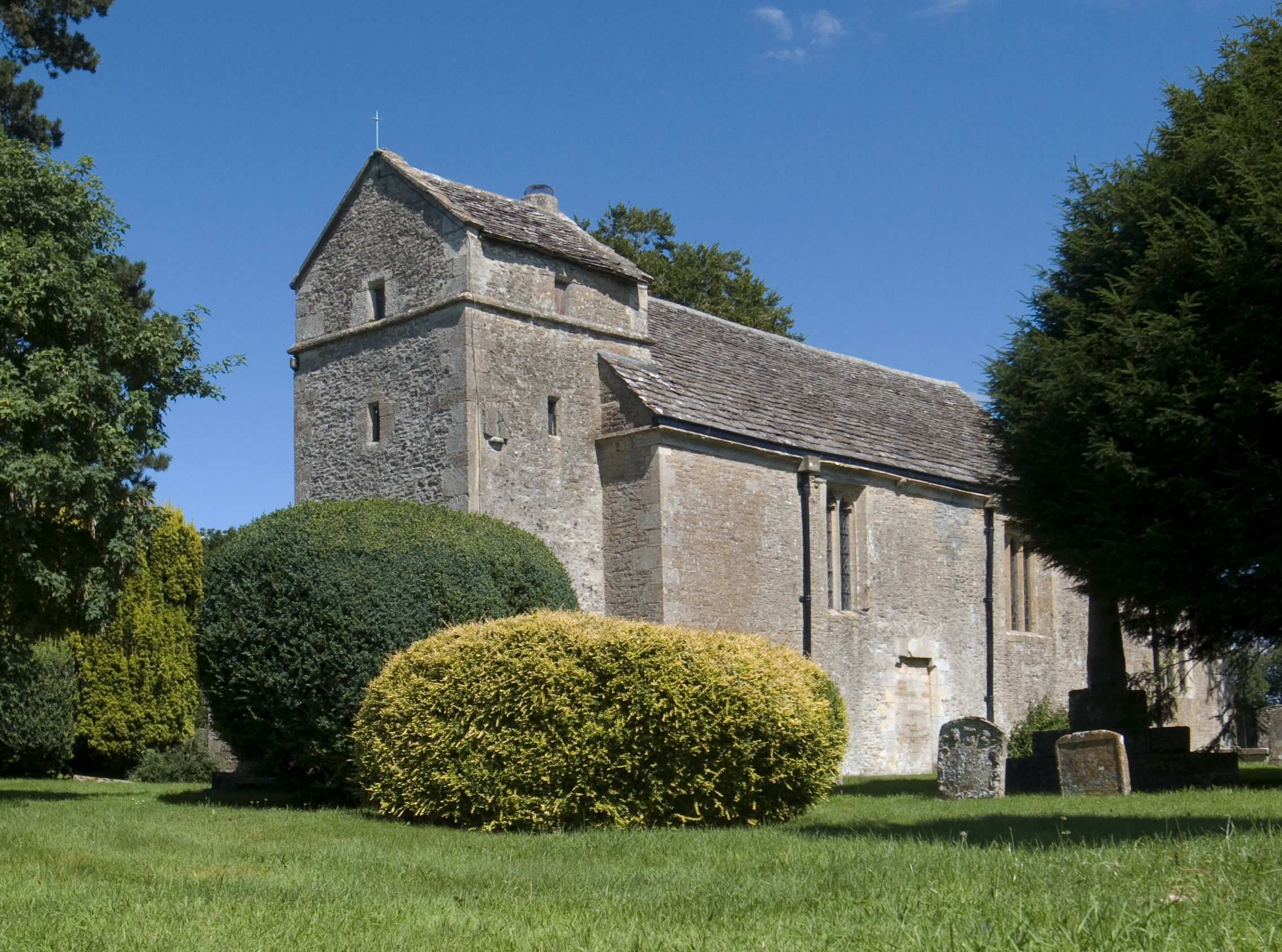
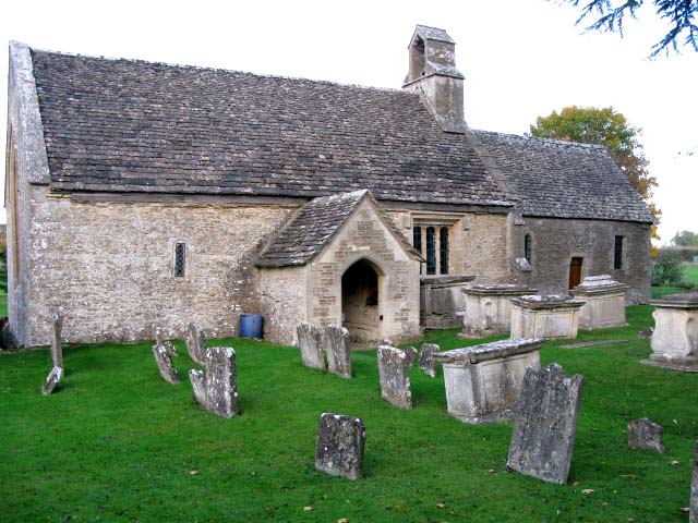
The village is known for its beautiful parish church, St Mary's Church, which dates back to the 12th century and is a listed building of historical significance. The church's architecture showcases both Norman and Gothic influences, and its well-preserved interior features intricate stained glass windows and ornate wooden carvings.
Despite its small size, Ampney St Mary benefits from several amenities that serve the local community. These include a village hall, a primary school, and a local pub, providing residents with essential services and opportunities for social interaction.
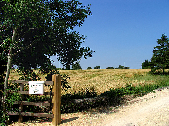
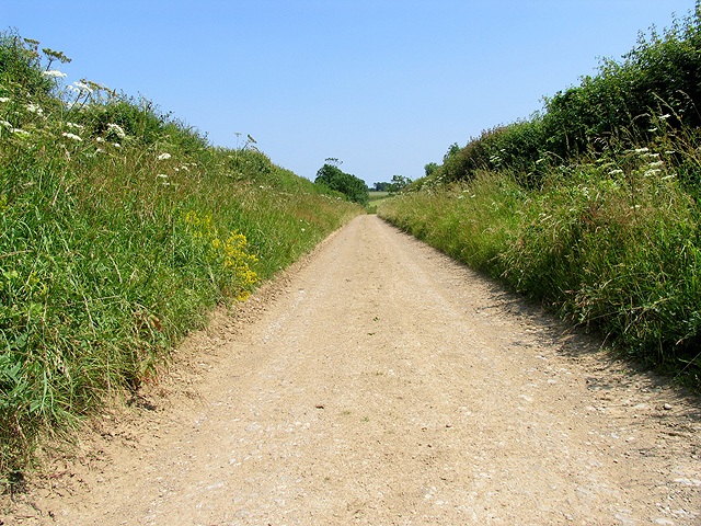
Surrounded by stunning countryside, Ampney St Mary offers plenty of opportunities for outdoor activities and exploration. The village is situated near the River Thames, providing residents and visitors with access to beautiful riverside walks and fishing spots.
Overall, Ampney St Mary is a charming village that offers a peaceful and picturesque setting for its residents. With its rich history, natural beauty, and tight-knit community, it is a place that captures the essence of rural England.
If you have any feedback on the listing, please let us know in the comments section below.
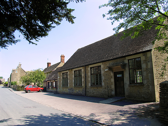
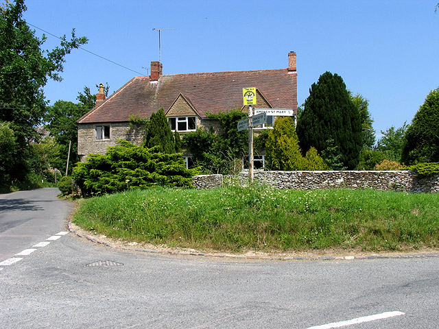
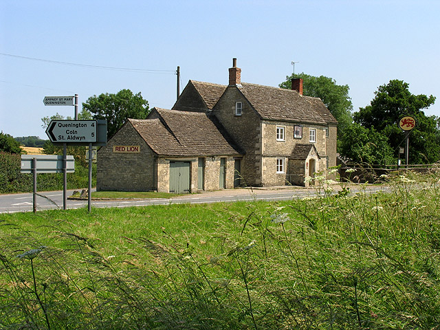
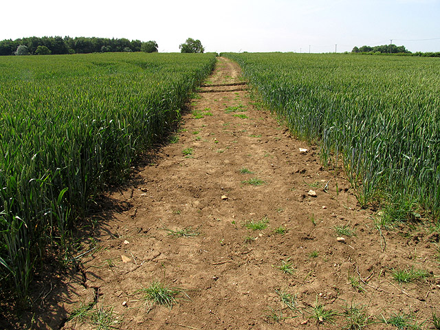
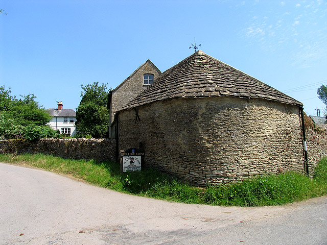
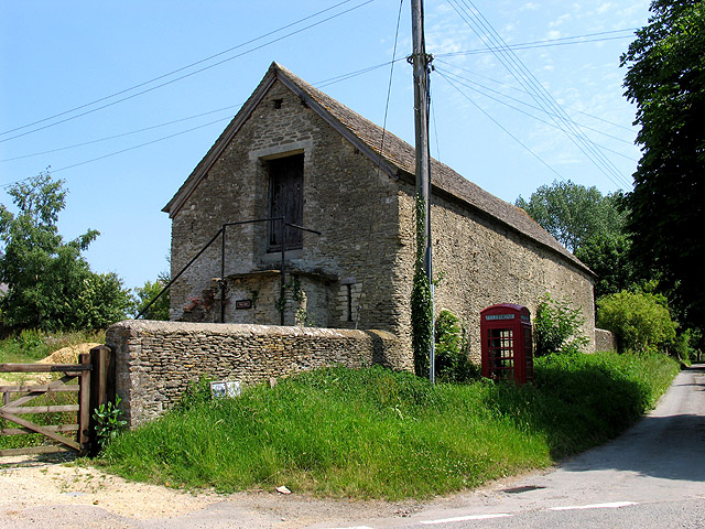
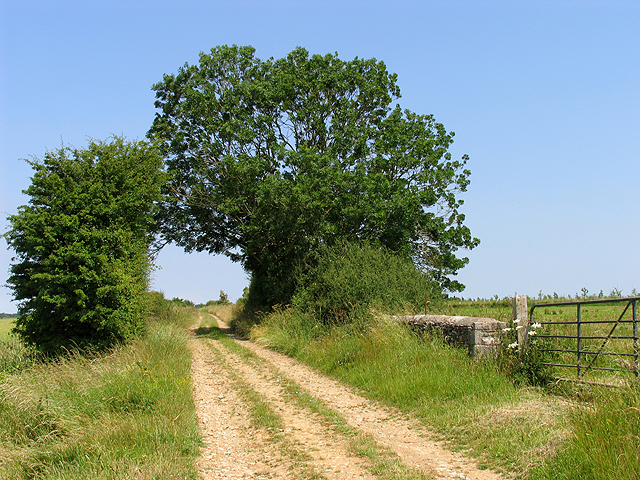
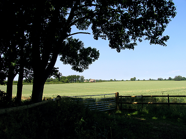
Ampney St Mary Images
Images are sourced within 2km of 51.717391/-1.876073 or Grid Reference SP0802. Thanks to Geograph Open Source API. All images are credited.
Ampney St Mary is located at Grid Ref: SP0802 (Lat: 51.717391, Lng: -1.876073)
Administrative County: Gloucestershire
District: Cotswold
Police Authority: Gloucestershire
What 3 Words
///shortcuts.saturate.late. Near South Cerney, Gloucestershire
Nearby Locations
Related Wikis
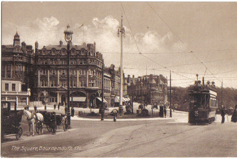
Bournemouth Corporation Tramways
Bournemouth Corporation Tramways served the town of Bournemouth in Dorset (although at the time it was in Hampshire) from 23 July 1902 until 8 April 1936...
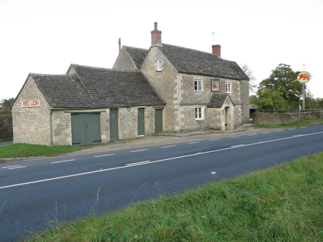
Red Lion, Ampney St Peter
The Red Lion is a Grade II listed pub at Ampney St Peter, Gloucestershire, GL7 5SL.It is on the Campaign for Real Ale's National Inventory of Historic...
Ampney St Peter
Ampney St Peter is a small village and civil parish in the Cotswolds, part of the Cotswold of Gloucestershire, England. According to the 2014 mid year...

Ampney St Mary
Ampney St Mary is a small village and civil parish in the Cotswolds, part of the Cotswold District of Gloucestershire, England. According to the 2001 census...
Church of St Mary, Ampney St Mary
The Anglican Church of St Mary at Ampney St Mary in the Cotswold District of Gloucestershire, England was built in the 12th and 13th centuries. It is a...

Poulton, Gloucestershire
Poulton is a village and civil parish in the English county of Gloucestershire, approximately 24 miles (39 km) to the south-east of Gloucester. It lies...

Ampney Crucis
Ampney Crucis is a village and civil parish in the Cotswolds, part of the Cotswold District of Gloucestershire, England. The village is in the Ampney-Coln...

Church of the Holy Rood, Ampney Crucis
The Anglican Church of the Holy Rood at Ampney Crucis in the Cotswold District of Gloucestershire, England has Saxon foundations with some of the stonework...
Nearby Amenities
Located within 500m of 51.717391,-1.876073Have you been to Ampney St Mary?
Leave your review of Ampney St Mary below (or comments, questions and feedback).