Benorth Wood

Wood, Forest in Cornwall

England

Benorth Wood

North Cornwall : The A30 The A30 heading through Cornwall.
North Cornwall : The A30 Credit: Lewis Clarke

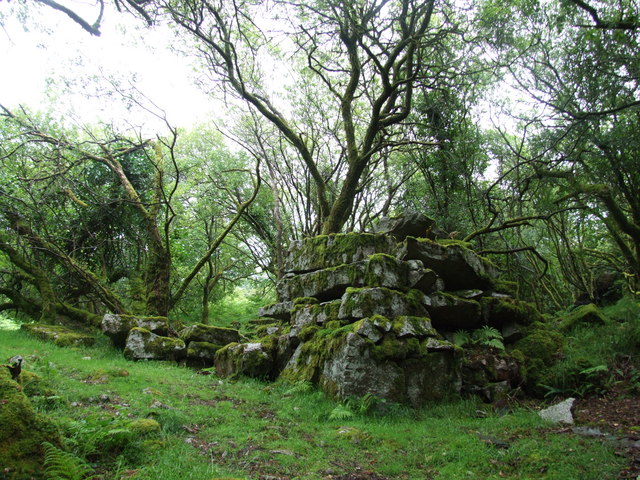
Benorth Wood, located in Cornwall, England, is a picturesque and enchanting woodland that covers an area of approximately 50 acres. Nestled amidst the captivating countryside, this ancient forest offers a serene and tranquil retreat for nature lovers and outdoor enthusiasts alike.

The wood is predominantly made up of towering oak trees, which provide a dense canopy of foliage, casting dappled sunlight on the forest floor below. The varied topography of Benorth Wood includes gentle slopes, meandering pathways, and a small stream that adds to its natural charm. The forest floor is adorned with a carpet of wildflowers, adding splashes of vibrant colors throughout the seasons.

Beneath the oaks, the woodland is a haven for a diverse range of flora and fauna. The undergrowth boasts an array of ferns, mosses, and lichens, creating a verdant and magical atmosphere. Birdsong can be heard resonating through the trees, as the wood provides a sanctuary for numerous species, including woodpeckers, owls, and warblers.

Benorth Wood also holds historical significance, as remnants of ancient settlements and burial grounds have been discovered within its boundaries. Archaeological finds suggest that the wood has been inhabited for thousands of years, adding an aura of mystery and intrigue to the area.

Visitors to Benorth Wood can explore its winding trails, taking in the beauty of nature and immersing themselves in its peaceful ambiance. The wood offers an idyllic setting for walking, picnicking, or simply enjoying the serenity of the natural surroundings. With its breathtaking scenery and rich biodiversity, Benorth Wood is truly a gem of Cornwall's countryside.

If you have any feedback on the listing, please let us know in the comments section below.

Benorth Wood Images

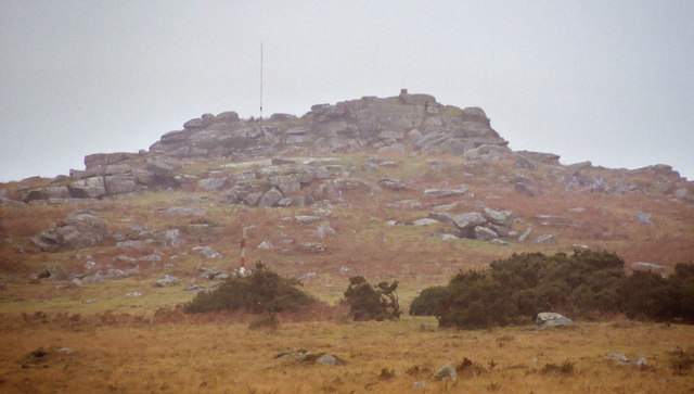
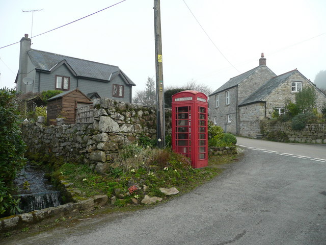
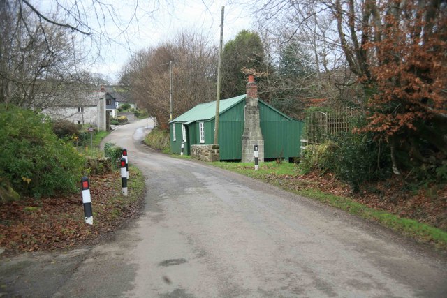
Images are sourced within 2km of 50.497286/-4.6538342 or Grid Reference SX1169. Thanks to Geograph Open Source API. All images are credited.

North Cornwall : The A30 The A30 heading through Cornwall.
North Cornwall : The A30
The A30 heading through Cornwall.
The A30 west at Preeze Cross
The A30 west at turn for Cardinham Downs
Bends straightened on the A30 The cottage on the right was on the old line of the road.
Bends straightened on the A30
The cottage on the right was on the old line of the road.
Preeze Cross on the A30
Start of dual carriageway on the A30
Rifle range, fiercely guarded by sheep I wonder if the sheep explode.
Rifle range, fiercely guarded by sheep
I wonder if the sheep explode.
St Bellarmin's Tor, Cardinham Moor The tor straddles the Ministry of Defence Millpool firing range boundary.  The picture shows range marker post (Centre L) and a pole on top of the tor from which a red flag is flown when the range is closed to the public. There is a "Gallery Range" for live small-arms firing and the whole area of Cardinham Moor is used for training with associated "pyrotechnics" and smoke grenades. To the right of the tor can just be seen the Trig Point plinth.
St Bellarmin's Tor, Cardinham Moor
The tor straddles the Ministry of Defence Millpool firing range boundary. The picture shows range marker post (Centre L) and a pole on top of the tor from which a red flag is flown when the range is closed to the public. There is a "Gallery Range" for live small-arms firing and the whole area of Cardinham Moor is used for training with associated "pyrotechnics" and smoke grenades. To the right of the tor can just be seen the Trig Point plinth.
Smoke Grenade, Cardinham Moor This discharged smoke grenade was found next to the bridle way crossing Cardinham Moor and was left behind after a training exercise.  
Notices warn walkers against picking up "undischarged ordnance" and although this did not fit the description, we left it well alone!
Smoke Grenade, Cardinham Moor
This discharged smoke grenade was found next to the bridle way crossing Cardinham Moor and was left behind after a training exercise. Notices warn walkers against picking up "undischarged ordnance" and although this did not fit the description, we left it well alone!
Industrial Remains Below the rock formation Corner Quoit are hidden the remains of 19th century quarrying.
Industrial Remains
Below the rock formation Corner Quoit are hidden the remains of 19th century quarrying.
Cottages and 'phone box in Millpool A village tucked into the upper valley of the Cardinham Water on the southern edge of Bodmin Moor.
Cottages and 'phone box in Millpool
A village tucked into the upper valley of the Cardinham Water on the southern edge of Bodmin Moor.
Cottage at Millpool This is a hamlet in the parish of Cardinham.
Cottage at Millpool
This is a hamlet in the parish of Cardinham.
Millpool Methodist church Clearly a thriving church as evidenced by two extensions dated in the 1990's.
Millpool Methodist church
Clearly a thriving church as evidenced by two extensions dated in the 1990's.
St  Bellarmin's Tor On this visit, on a Summer Saturday afternoon, we were surprised to find the range flags flying and the sound of gunfire coming from the rifle range.
St Bellarmin's Tor
On this visit, on a Summer Saturday afternoon, we were surprised to find the range flags flying and the sound of gunfire coming from the rifle range.
The Clubhouse, Cardinham airfield Headquarters of the Cornwall Flying Club.
The Clubhouse, Cardinham airfield
Headquarters of the Cornwall Flying Club.
Millpool village Could the green building be the local snooker room or is it something else?
Millpool village
Could the green building be the local snooker room or is it something else?
Garage beside A30 at Higher Carblake The garage is beside a single carriageway section of the A30
Garage beside A30 at Higher Carblake
The garage is beside a single carriageway section of the A30
Dual carriageway on the A30 (at last) Westbound traffic has just passed through a short stretch of single carriageway road, where queues often develop.
Dual carriageway on the A30 (at last)
Westbound traffic has just passed through a short stretch of single carriageway road, where queues often develop.
Show me another place!

Benorth Wood is located at Grid Ref: SX1169 (Lat: 50.497286, Lng: -4.6538342)

Unitary Authority: Cornwall

Police Authority: Devon and Cornwall

What 3 Words

///earl.shave.skid. Near Helland, Cornwall

Nearby Locations

Benorth Wood

Related Wikis

Millpool

Millpool is a hamlet in the parish of Cardinham in north Cornwall, England, lying about one mile north of Cardinham village. The A30 trunk road towards...

Bodmin Airfield

Bodmin Airfield (ICAO: EGLA) is located 3.5 NM (6.5 km; 4.0 mi) northeast of Bodmin, Cornwall, England, UK. Radio equipped microlights can use Bodmin...

Cardinham

Cardinham (Cornish: Kardhinan) (the spelling 'Cardynham' is almost obsolete) is a civil parish and a village in mid Cornwall, England. The village is approximately...

Old Cardinham Castle

Old Cardinham Castle is a hamlet in Cornwall, England, UK. It is in the parish of Cardinham very close to the site of the Norman Cardinham Castle, caput...

Nearby Amenities

Located within 500m of 50.497286,-4.6538342
Lower Cardeast
Is In County: Cornwall
Place: hamlet
Source: OS_OpenData_StreetView
Lat/Long: 50.49348/-4.6542773
Noexit: yes
Lat/Long: 50.4966217/-4.6524809
The data included in this document is from www.openstreetmap.org. The data is made available under ODbL.

Have you been to Benorth Wood?

Leave your review of Benorth Wood below (or comments, questions and feedback).