Ash Wood
Wood, Forest in Cornwall
England
Ash Wood
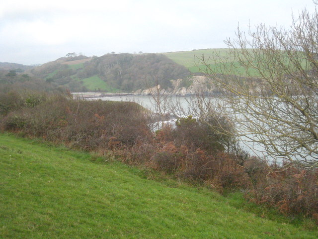
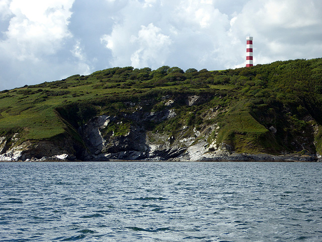
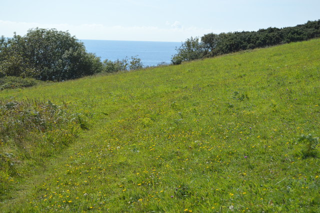
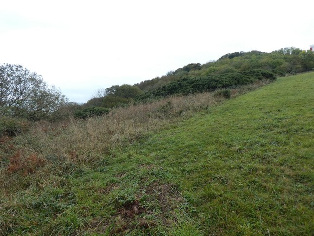
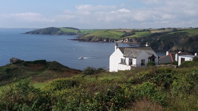
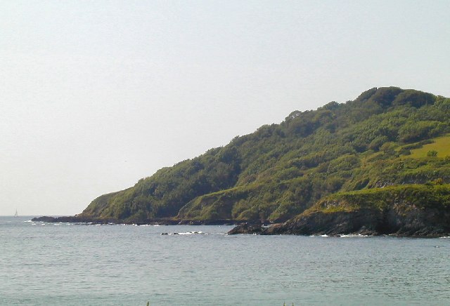
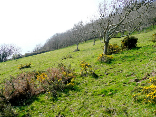
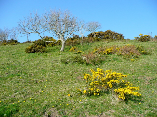
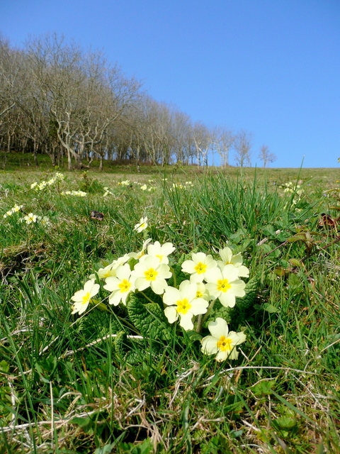
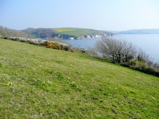
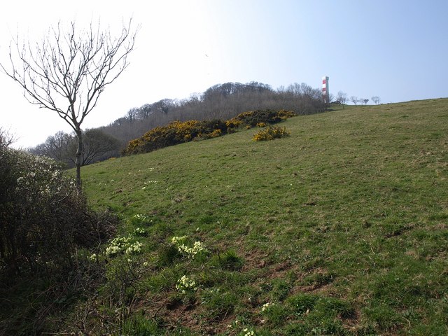
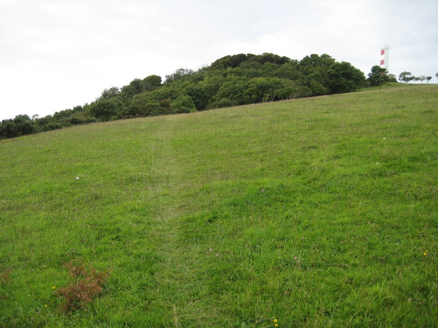
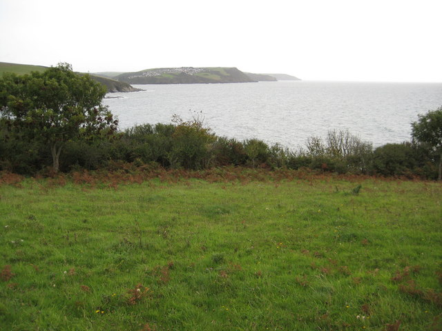
Ash Wood is a picturesque forest located in Cornwall, England. Situated in the southwest region of the country, this woodland area is renowned for its natural beauty and diverse ecosystem. Covering an area of approximately 100 acres, Ash Wood is a haven for nature enthusiasts and a popular destination for outdoor activities.
The forest is predominantly populated by ash trees, hence its name. These majestic trees create a dense canopy that provides shade and shelter for a wide range of flora and fauna. The forest floor is carpeted with an array of wildflowers, ferns, and mosses, adding to the enchanting atmosphere of the woodland.
Ash Wood boasts an extensive network of walking and hiking trails, allowing visitors to explore the forest and immerse themselves in its tranquil ambiance. The trails vary in difficulty, catering to both casual strollers and avid hikers. Along the way, visitors can expect to encounter various species of birds, small mammals, and even the occasional deer.
The forest is also home to a diverse range of wildlife, including foxes, badgers, and numerous bird species. For birdwatchers, Ash Wood provides an excellent opportunity to spot woodland birds such as woodpeckers, owls, and thrushes.
Overall, Ash Wood is a natural gem in Cornwall, offering visitors a chance to escape the hustle and bustle of everyday life and connect with nature. Whether it's a leisurely walk, birdwatching, or simply enjoying the peaceful surroundings, Ash Wood is a must-visit destination for anyone seeking a tranquil woodland experience.
If you have any feedback on the listing, please let us know in the comments section below.
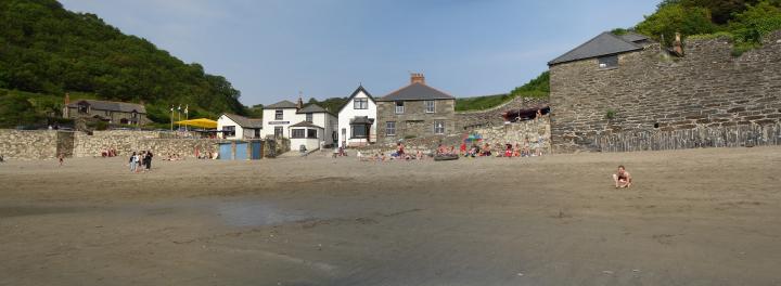
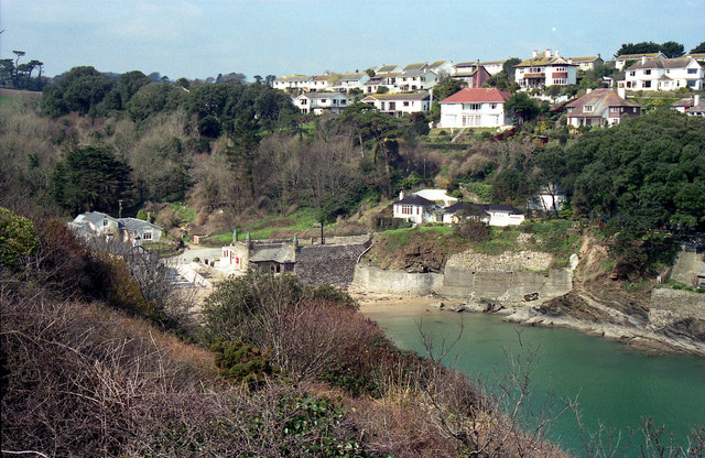
Ash Wood Images
Images are sourced within 2km of 50.333453/-4.6694937 or Grid Reference SX1051. Thanks to Geograph Open Source API. All images are credited.


Ash Wood is located at Grid Ref: SX1051 (Lat: 50.333453, Lng: -4.6694937)
Unitary Authority: Cornwall
Police Authority: Devon and Cornwall
What 3 Words
///lecturers.cigar.pens. Near Fowey, Cornwall
Nearby Locations
Related Wikis
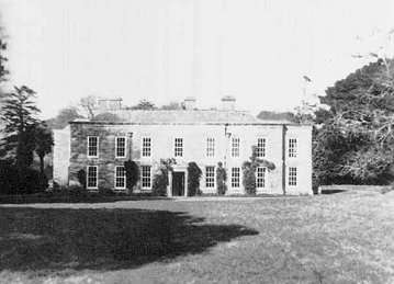
Menabilly
Menabilly (Cornish: Men Ebeli, meaning stone of colts) is a historic estate on the south coast of Cornwall, England, situated within the parish of Tywardreath...
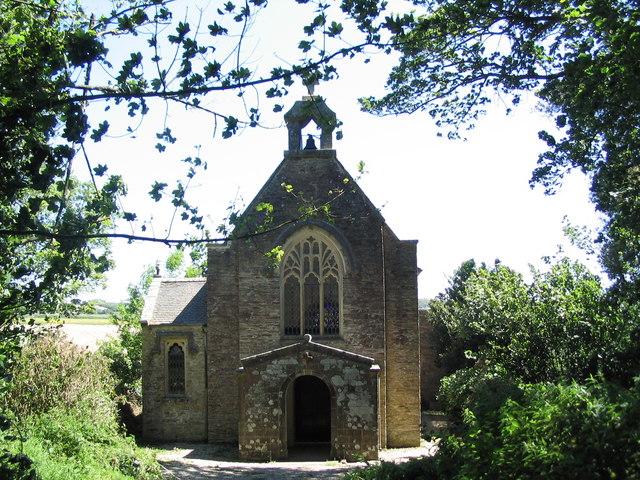
Tregaminion Church
Tregaminion Church is a Church of England church in Tregaminion, Cornwall, England, UK. The church dates to the early 19th century and is a Grade II* listed...
Polkerris
Polkerris (Cornish: Pollkerys, meaning fortified pool) is a small village on the south coast of Cornwall, England. It forms part of the civil parish of...
Readymoney Cove
Readymoney Cove (Cornish: Porth Mundy, meaning mineral house cove) is a sandy beach to the south of the harbour town of Fowey, Cornwall, England, United...
Nearby Amenities
Located within 500m of 50.333453,-4.6694937Have you been to Ash Wood?
Leave your review of Ash Wood below (or comments, questions and feedback).