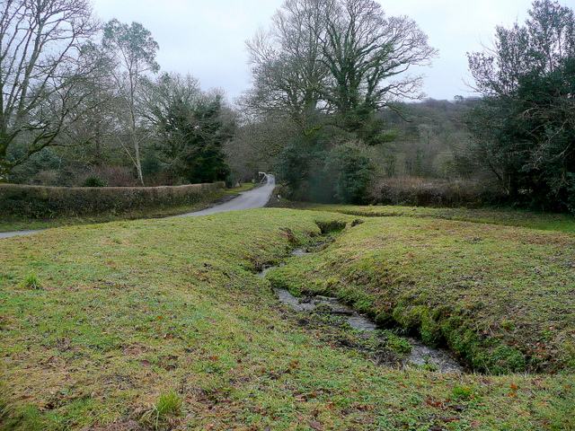
Blackheath Wood
Wood, Forest in Cornwall
England
Blackheath Wood
The requested URL returned error: 429 Too Many Requests
If you have any feedback on the listing, please let us know in the comments section below.
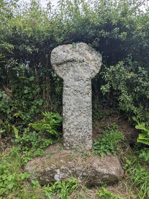
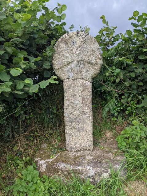
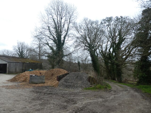
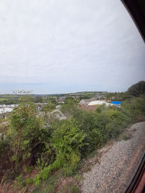
Blackheath Wood Images
Images are sourced within 2km of 50.442968/-4.7126011 or Grid Reference SX0763. Thanks to Geograph Open Source API. All images are credited.


Blackheath Wood is located at Grid Ref: SX0763 (Lat: 50.442968, Lng: -4.7126011)
Unitary Authority: Cornwall
Police Authority: Devon and Cornwall
What 3 Words
///calendars.lofts.tonality. Near Bodmin, Cornwall
Nearby Locations
Related Wikis

St Hydroc's Church, Lanhydrock
St Hydroc's Church, Lanhydrock is a Grade I listed in the Church of England in Lanhydrock, Cornwall. == History == The church dates from the 15th century...
Trebyan
Trebyan is a hamlet in Cornwall, England, United Kingdom. It is half a mile west of Lanhydrock. == References ==
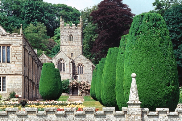
Lanhydrock
Lanhydrock (Cornish: Lannhedrek, meaning "church enclosure of St Hydrock") is a civil parish centred on a country estate and mansion in Cornwall, England...

Lesquite Quoit
Lesquite Quoit, (also known as Lanivet or Trebyan Quoit) is a portal dolmen, located near Lanivet in Cornwall, United Kingdom. It is a ceremonial funerary...
Nearby Amenities
Located within 500m of 50.442968,-4.7126011Have you been to Blackheath Wood?
Leave your review of Blackheath Wood below (or comments, questions and feedback).