Bridge Wood
Wood, Forest in Cornwall
England
Bridge Wood

The requested URL returned error: 429 Too Many Requests
If you have any feedback on the listing, please let us know in the comments section below.
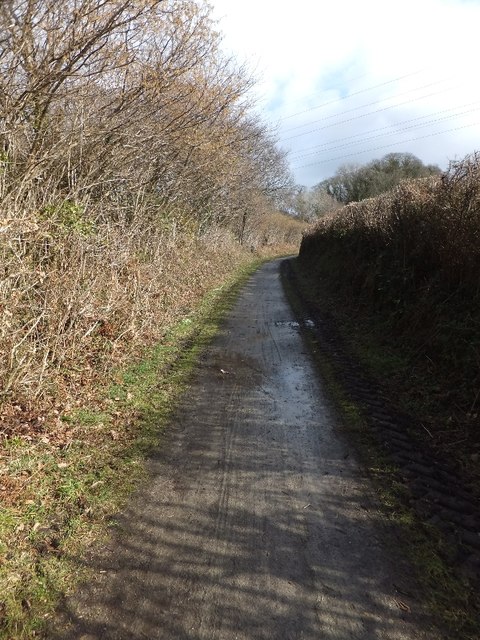
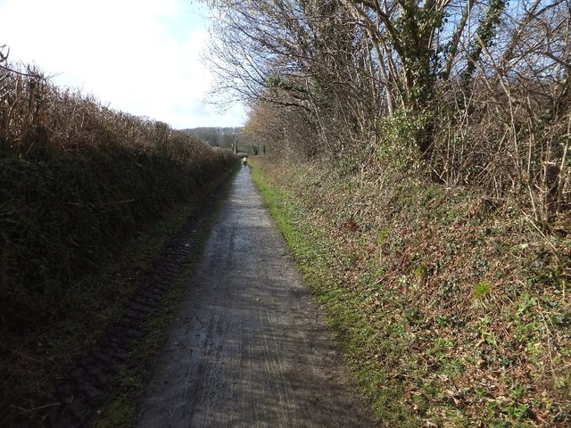
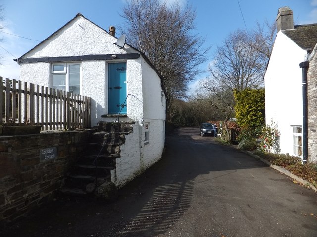
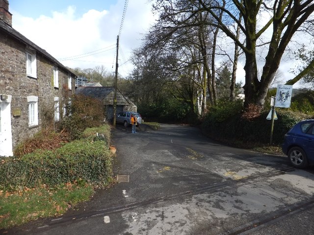
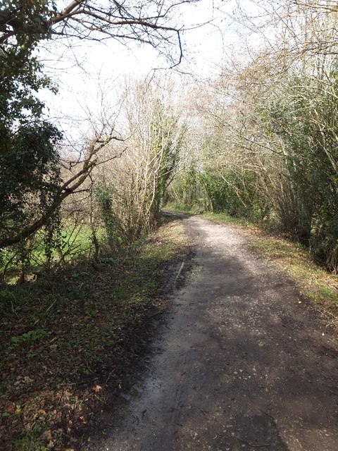
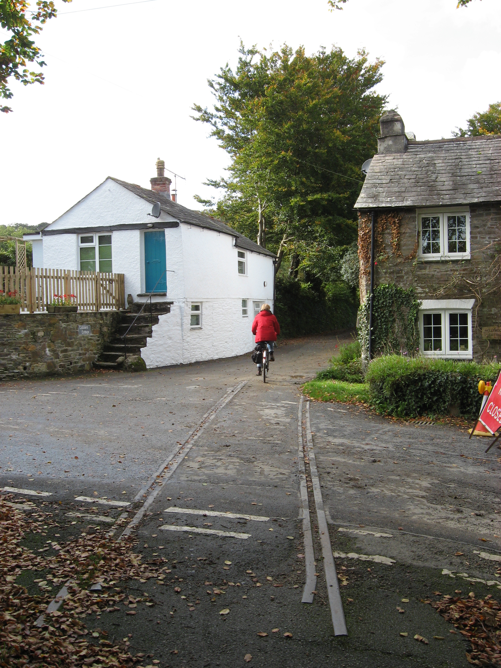
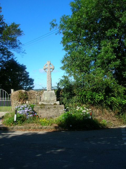
Bridge Wood Images
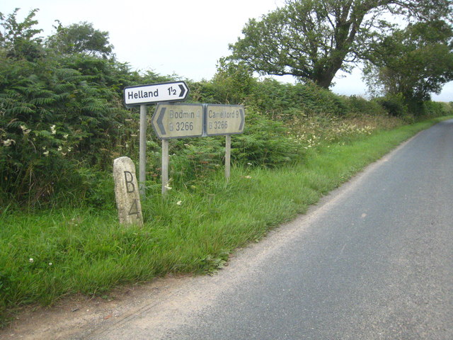
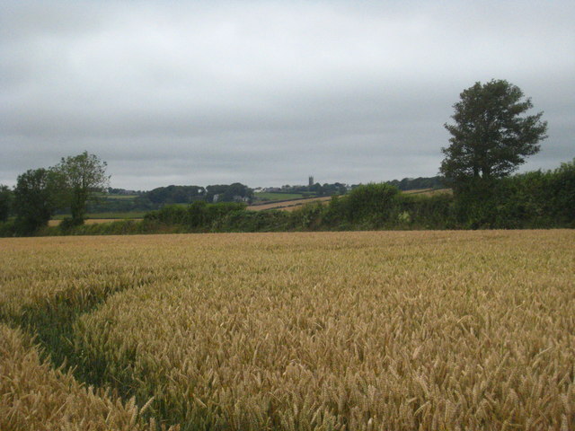
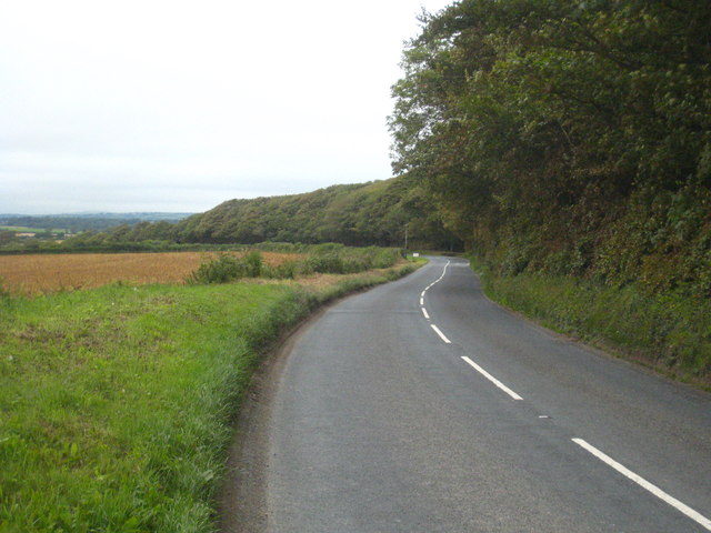
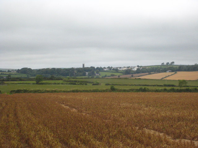
Images are sourced within 2km of 50.514784/-4.7272137 or Grid Reference SX0671. Thanks to Geograph Open Source API. All images are credited.


Bridge Wood is located at Grid Ref: SX0671 (Lat: 50.514784, Lng: -4.7272137)
Unitary Authority: Cornwall
Police Authority: Devon and Cornwall
What 3 Words
///sits.documents.vowing. Near Helland, Cornwall
Nearby Locations
Related Wikis
Hellandbridge
Hellandbridge is a hamlet in Cornwall, England, UK. It is about a mile west-northwest of the village of Helland (where the population at the 2011 census...

Tredethy
Tredethy is a house and estate in the civil parish of St Mabyn, Cornwall, UK, at Grid reference SX 06 71. It occupies seven acres and is one of a number...
Helland
Helland (Cornish: Hellann) is a civil parish and village in Cornwall, England, United Kingdom. It is situated 2+1⁄2 miles (4.0 km) north of Bodmin. The...

Bodmin Rural District
Bodmin Rural District was a local government division of Cornwall in England, UK, between 1894 and 1934. Established under the Local Government Act 1894...
Nearby Amenities
Located within 500m of 50.514784,-4.7272137Have you been to Bridge Wood?
Leave your review of Bridge Wood below (or comments, questions and feedback).