Chasehayes
Settlement in Devon East Devon
England
Chasehayes
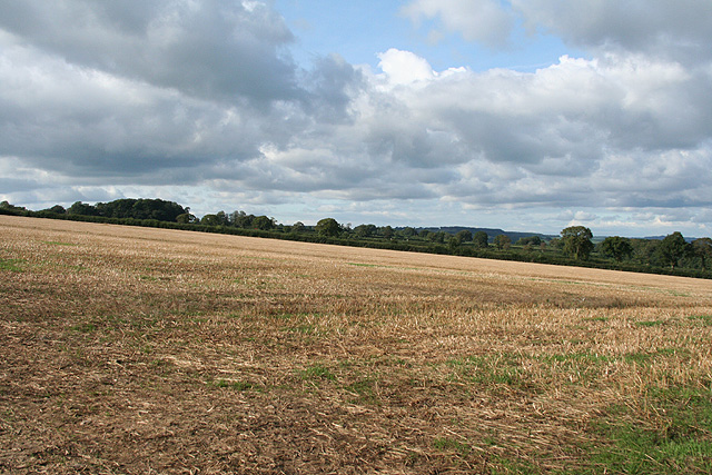
Chasehayes is a charming village located in the county of Devon, England. Situated in the East Devon district, it is nestled amidst the picturesque countryside, offering residents and visitors a peaceful and idyllic setting. The village is part of the larger parish of Whimple and is surrounded by rolling hills, lush green fields, and quaint rural landscapes.
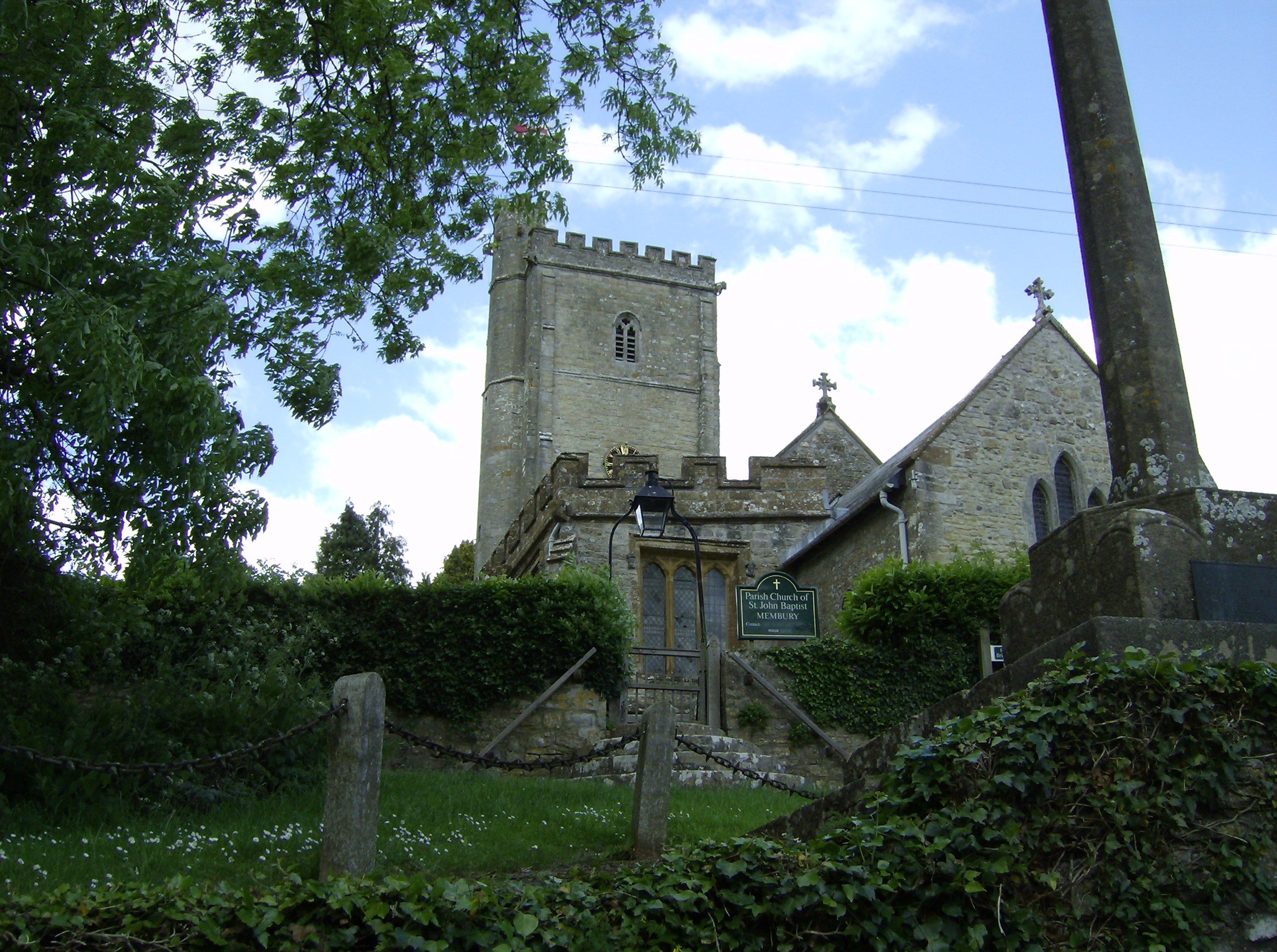
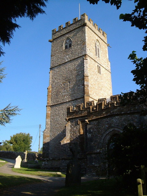
One of the defining features of Chasehayes is its rich history. The village boasts a number of historic buildings, including a beautiful parish church that dates back several centuries. The charming architecture and well-preserved structures give Chasehayes a timeless appeal, attracting history enthusiasts from far and wide.
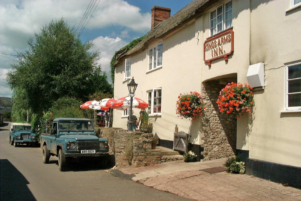
Despite its small size, Chasehayes offers a range of amenities to its residents. A local pub serves as a social hub for the community, providing a welcoming atmosphere and traditional British fare. Additionally, the village is home to a few small businesses, including a convenience store and a post office, ensuring that residents have access to essential services.
Nature lovers will find plenty to explore in and around Chasehayes. The surrounding countryside offers numerous walking and hiking trails, allowing visitors to immerse themselves in the beauty of the Devonshire landscapes. The nearby River Otter also provides opportunities for fishing and boating, adding to the recreational options available in the area.
Overall, Chasehayes is a picturesque village in Devon, where history meets natural beauty. With its peaceful ambiance, friendly community, and stunning surroundings, it is no wonder that Chasehayes is a sought-after destination for those seeking a tranquil escape in the heart of the English countryside.
If you have any feedback on the listing, please let us know in the comments section below.
Chasehayes Images
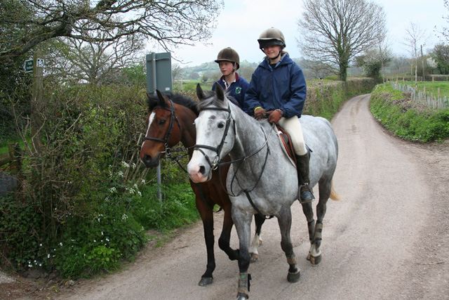
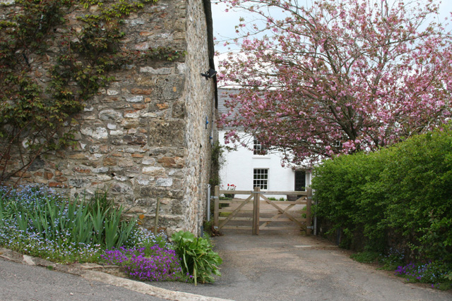
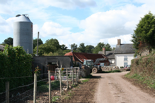
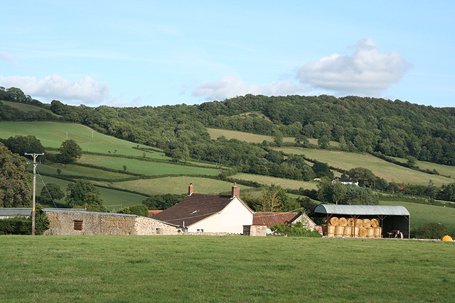
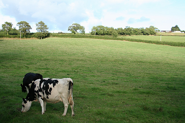
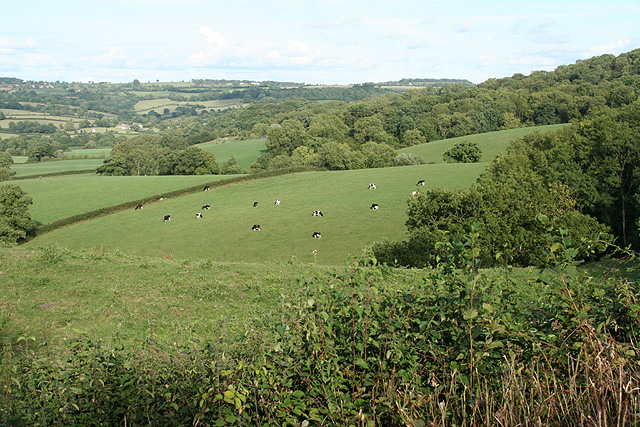
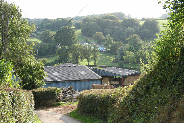
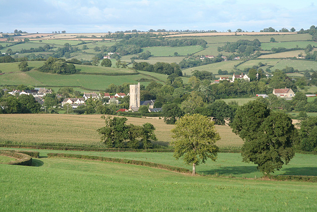
Images are sourced within 2km of 50.8337/-3.0696 or Grid Reference ST2404. Thanks to Geograph Open Source API. All images are credited.
![Membury: nearing Waterhouse Farm On the public footpath from Case Bridge. Looking south-south-east. The farmhouse dates from the 16th century, according to W G Hoskins [W G Hoskins, Devon, Devon Books, 1992]](https://s3.geograph.org.uk/photos/16/15/161519_4574f6ed.jpg)


Chasehayes is located at Grid Ref: ST2404 (Lat: 50.8337, Lng: -3.0696)
Administrative County: Devon
District: East Devon
Police Authority: Devon and Cornwall
What 3 Words
///headliner.blows.curries. Near Axminster, Devon
Nearby Locations
Related Wikis
Stockland, Devon
Stockland is a village and civil parish in Devon, close to the Somerset boundary. The parish is surrounded clockwise from the north by the parishes of...
Stockland Castle
Stockland Castle is the name given to two Iron Age hill forts on Stockland Hill close to Stockland in Devon, England. Stockland Great Castle (50.8178°N...
Membury, Devon
Membury is a village three miles north west of Axminster in East Devon district. The population at the 2011 Census was 501.The village has a 13th-century...

Membury Castle
Membury Castle is an Iron Age hillfort situated above the village of Membury in Devon. The fort occupies a commanding hilltop position some 204 metres...
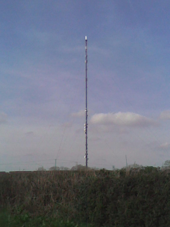
Stockland Hill transmitting station
The Stockland Hill transmitting station is a transmitting facility of FM Radio and UHF television located near Honiton, Devon, England. This transmitter...

Dalwood
Dalwood is a village and county parish in the East Devon district of the English county of Devon. It is approximately 3 miles (4.8 km) away from the nearest...
Yarcombe
Yarcombe is a village and civil parish in the county of Devon, England, situated in the East Devon administrative district on the A30 road near the towns...

Cotleigh
Cotleigh is a village and civil parish near Honiton in Devon, England. It is surrounded clockwise from the north by the parishes of Upottery, Stockland...
Nearby Amenities
Located within 500m of 50.8337,-3.0696Have you been to Chasehayes?
Leave your review of Chasehayes below (or comments, questions and feedback).