Belingick Wood

Wood, Forest in Cornwall

England

Belingick Wood

Camel Trail beside the river in Gaff Wood The National Cycle Network is a network of cycle routes. It was created by the charity Sustrans <span class="nowrap"><a title="http://www.sustrans.org.uk/what-we-do/national-cycle-network" rel="nofollow ugc noopener" href="http://www.sustrans.org.uk/what-we-do/national-cycle-network">Link</a><img style="margin-left:2px;" alt="External link" title="External link - shift click to open in new window" src="https://s1.geograph.org.uk/img/external.png" width="10" height="10"/></span>  (Sustainable Transport), aided by a National Lottery grant.

Many routes aim to minimise contact with motor traffic, though 70% of them are on roads. In some cases the NCN uses pedestrian routes, disused railways, minor roads, canal towpaths, or traffic-calmed routes in towns and cities.
Camel Trail beside the river in Gaff Wood Credit: David Smith

Belingick Wood is a charming woodland area located in Cornwall, England. Situated near the village of Constantine, this woodland is a popular destination for nature lovers and outdoor enthusiasts. Spanning over 100 acres, Belingick Wood is a haven for wildlife, with a diverse range of flora and fauna.

The woodland is primarily composed of ancient deciduous trees, such as oak, beech, and ash, which create a stunning canopy overhead. As visitors wander through the wood, they can discover a network of scenic footpaths, providing opportunities for peaceful walks and exploration. Bluebells carpet the forest floor in spring, creating a breathtaking display of vibrant colors.

Belingick Wood is also home to a variety of wildlife, including deer, badgers, foxes, and a plethora of bird species. Birdwatchers can spot common woodland birds like woodpeckers, owls, and thrushes, making it an ideal spot for birdwatching enthusiasts.

The wood is well-maintained and offers picnic areas and benches for visitors to relax and enjoy the tranquil surroundings. It is a popular spot for families, who can engage in activities such as den-building and nature trails.

Belingick Wood is accessible throughout the year, and there is no entry fee, making it an accessible destination for all. It provides a peaceful retreat from the hustle and bustle of daily life, allowing visitors to immerse themselves in the beauty of nature.

If you have any feedback on the listing, please let us know in the comments section below.

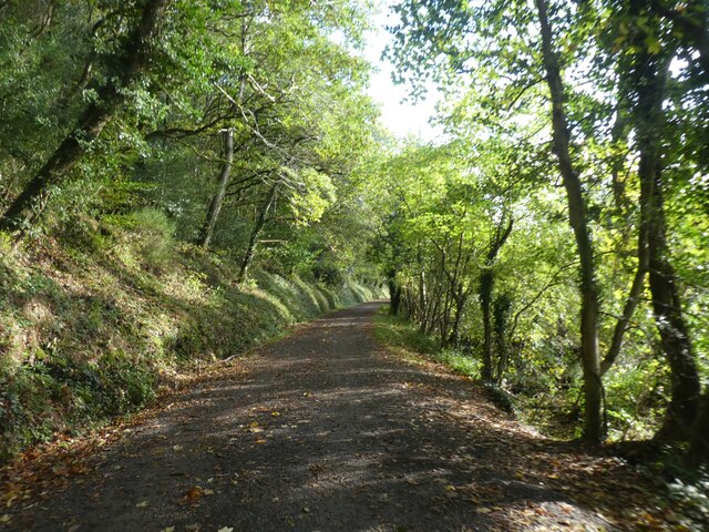
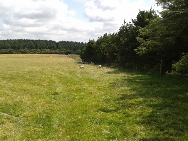
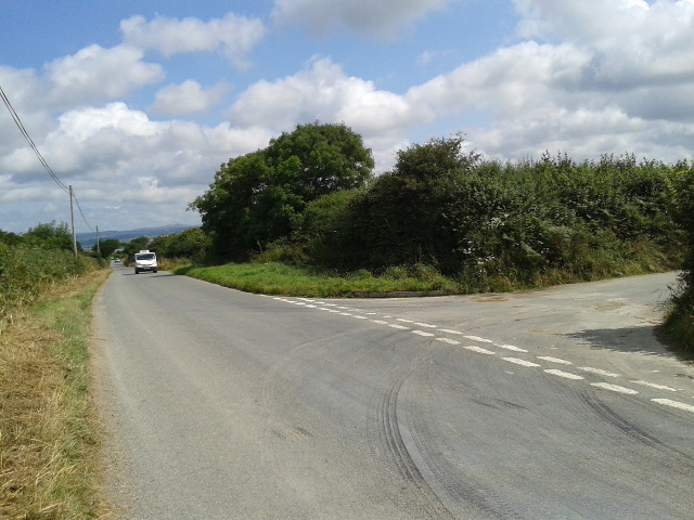
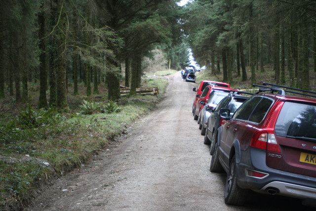
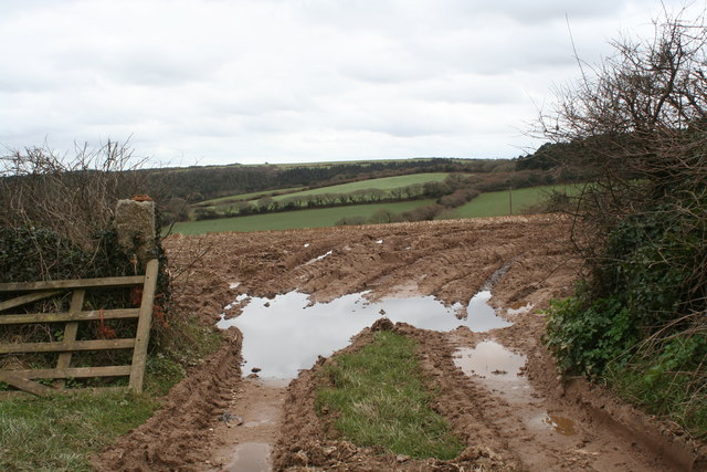
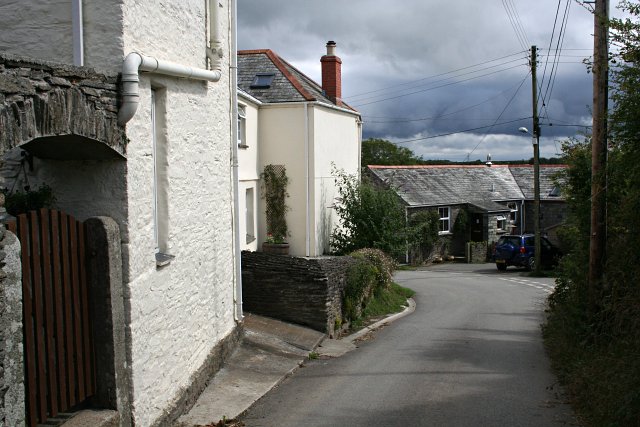
Belingick Wood Images

Images are sourced within 2km of 50.485504/-4.8244989 or Grid Reference SW9968. Thanks to Geograph Open Source API. All images are credited.

Camel Trail beside the river in Gaff Wood The National Cycle Network is a network of cycle routes. It was created by the charity Sustrans <span class="nowrap"><a title="http://www.sustrans.org.uk/what-we-do/national-cycle-network" rel="nofollow ugc noopener" href="http://www.sustrans.org.uk/what-we-do/national-cycle-network">Link</a><img style="margin-left:2px;" alt="External link" title="External link - shift click to open in new window" src="https://s1.geograph.org.uk/img/external.png" width="10" height="10"/></span>  (Sustainable Transport), aided by a National Lottery grant.

Many routes aim to minimise contact with motor traffic, though 70% of them are on roads. In some cases the NCN uses pedestrian routes, disused railways, minor roads, canal towpaths, or traffic-calmed routes in towns and cities.
Camel Trail beside the river in Gaff Wood
The National Cycle Network is a network of cycle routes. It was created by the charity Sustrans LinkExternal link (Sustainable Transport), aided by a National Lottery grant. Many routes aim to minimise contact with motor traffic, though 70% of them are on roads. In some cases the NCN uses pedestrian routes, disused railways, minor roads, canal towpaths, or traffic-calmed routes in towns and cities.
Camel Trail north of Bishop's Wood The National Cycle Network is a network of cycle routes. It was created by the charity Sustrans <span class="nowrap"><a title="http://www.sustrans.org.uk/what-we-do/national-cycle-network" rel="nofollow ugc noopener" href="http://www.sustrans.org.uk/what-we-do/national-cycle-network">Link</a><img style="margin-left:2px;" alt="External link" title="External link - shift click to open in new window" src="https://s1.geograph.org.uk/img/external.png" width="10" height="10"/></span>  (Sustainable Transport), aided by a National Lottery grant.

Many routes aim to minimise contact with motor traffic, though 70% of them are on roads. In some cases the NCN uses pedestrian routes, disused railways, minor roads, canal towpaths, or traffic-calmed routes in towns and cities.
Camel Trail north of Bishop's Wood
The National Cycle Network is a network of cycle routes. It was created by the charity Sustrans LinkExternal link (Sustainable Transport), aided by a National Lottery grant. Many routes aim to minimise contact with motor traffic, though 70% of them are on roads. In some cases the NCN uses pedestrian routes, disused railways, minor roads, canal towpaths, or traffic-calmed routes in towns and cities.
Camel Trail in Gaff Wood The National Cycle Network is a network of cycle routes. It was created by the charity Sustrans <span class="nowrap"><a title="http://www.sustrans.org.uk/what-we-do/national-cycle-network" rel="nofollow ugc noopener" href="http://www.sustrans.org.uk/what-we-do/national-cycle-network">Link</a><img style="margin-left:2px;" alt="External link" title="External link - shift click to open in new window" src="https://s1.geograph.org.uk/img/external.png" width="10" height="10"/></span>  (Sustainable Transport), aided by a National Lottery grant.

Many routes aim to minimise contact with motor traffic, though 70% of them are on roads. In some cases the NCN uses pedestrian routes, disused railways, minor roads, canal towpaths, or traffic-calmed routes in towns and cities.
Camel Trail in Gaff Wood
The National Cycle Network is a network of cycle routes. It was created by the charity Sustrans LinkExternal link (Sustainable Transport), aided by a National Lottery grant. Many routes aim to minimise contact with motor traffic, though 70% of them are on roads. In some cases the NCN uses pedestrian routes, disused railways, minor roads, canal towpaths, or traffic-calmed routes in towns and cities.
River Camel
River Camel
St Breock Downs One of the wind turbines on the hilltop.
St Breock Downs
One of the wind turbines on the hilltop.
Sheep in a field
Sheep in a field
House on St Breock Downs
Cows in a field
Cows in a field
Junction near Burlawn
Coniferous forest at Hustyn
A forest track in Hustyn Wood The cars are parked for a Cornwall Orienteering Club event.
A forest track in Hustyn Wood
The cars are parked for a Cornwall Orienteering Club event.
Field gateway at Highfurze
Track leading to High Furze Farm
Barn beside the road at Higher Tregawne Farm
Gorse in bloom beside the road near Higher Bosneives
Track, Hustyn Wood A track through the upper, southwestern, part of the access wood. <a href="https://www.geograph.org.uk/photo/5431783">SW9968 : End of the track, Hustyn Wood</a> looks in the other direction from here.
Track, Hustyn Wood
A track through the upper, southwestern, part of the access wood. SW9968 : End of the track, Hustyn Wood looks in the other direction from here.
Field, Burlawn A steep grass field crossed by footpath 534 1/1 as it descends into a deep valley.
Field, Burlawn
A steep grass field crossed by footpath 534 1/1 as it descends into a deep valley.
Approaching Burlawn Looking up the field that <a href="https://www.geograph.org.uk/photo/5431038">SW9969 : Field, Burlawn</a> looks down, with footpath 534 1/1 heading for a concealed gate into the houses.
Approaching Burlawn
Looking up the field that SW9969 : Field, Burlawn looks down, with footpath 534 1/1 heading for a concealed gate into the houses.
Show me another place!

Belingick Wood is located at Grid Ref: SW9968 (Lat: 50.485504, Lng: -4.8244989)

Unitary Authority: Cornwall

Police Authority: Devon and Cornwall

What 3 Words

///freshest.abolish.egging. Near Wadebridge, Cornwall

Related Wikis

Wadebridge Rural District

Wadebridge Rural District was a local government division of Cornwall in England, UK, between 1934 and 1968. Established under the Local Government Act...

Burlawn

Burlawn (Cornish: Boslowen, meaning happy dwelling) is a hamlet in the parish of St Breock, Cornwall, England, UK. == History == There are two listed buildings...

Burlorne Tregoose

Burlorne Tregoose (Cornish: Boslowen Tregoos, meaning woodland farm of the happy dwelling) is a hamlet in the parish of St Breock, Cornwall, England, UK...

Brocton, Cornwall

Brocton is a hamlet in the parish of St Breock, Cornwall, England, UK. == References ==

Have you been to Belingick Wood?

Leave your review of Belingick Wood below (or comments, questions and feedback).