Chase End Street

Settlement in Worcestershire Malvern Hills

England

Chase End Street

Hollybush Hill from the A438
Hollybush Hill from the A438 Credit: Peter Whatley

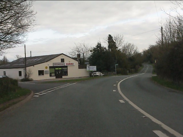
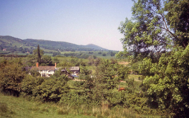
Chase End Street is a charming and historic street located in the picturesque county of Worcestershire, England. Situated in the town of Malvern, this street is known for its quaint and traditional atmosphere, attracting both locals and tourists alike.

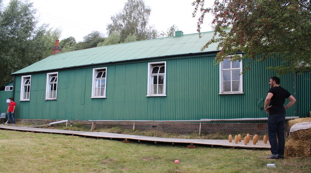
Lined with a variety of well-preserved buildings, Chase End Street showcases a mix of architectural styles, reflecting different periods of the town's history. The street's buildings range from medieval timber-framed structures to elegant Georgian houses, providing visitors with a glimpse into Worcestershire's rich heritage.

Walking down Chase End Street, one cannot help but notice the array of independent shops and boutiques that line the road. From antique stores to artisanal craft shops, visitors can explore a diverse range of unique and locally made products. Additionally, there are several inviting cafes and eateries along the street, offering a chance to indulge in some delicious local cuisine.

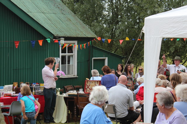
The street's central location also makes it a hub for community events and gatherings. Throughout the year, Chase End Street hosts various festivals, markets, and fairs, attracting people from all over the county. The street's vibrant atmosphere during these events adds an extra layer of charm to an already delightful destination.

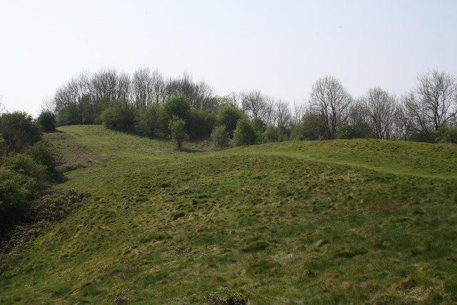
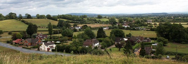
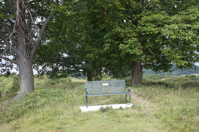
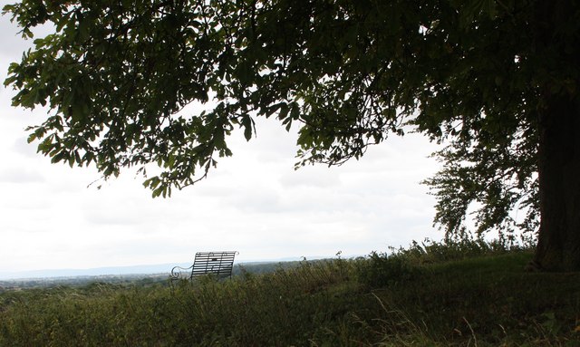
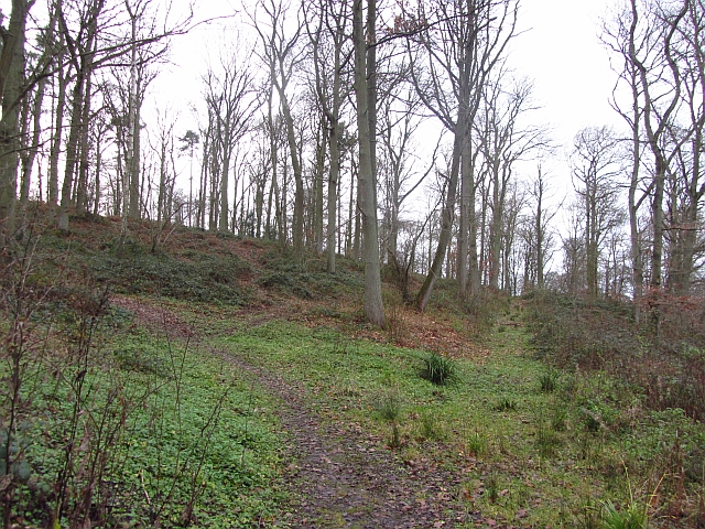
Surrounded by the natural beauty of the Malvern Hills, Chase End Street also serves as a starting point for many scenic walks and hikes. Visitors can easily access the nearby countryside, where they can explore stunning landscapes and enjoy breathtaking views.

In conclusion, Chase End Street in Worcestershire is a captivating destination that seamlessly combines history, culture, and natural beauty. Its well-preserved architecture, independent shops, and community events make it a must-visit location for anyone seeking an authentic and enriching experience in the heart of England.

If you have any feedback on the listing, please let us know in the comments section below.

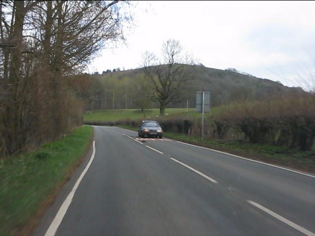
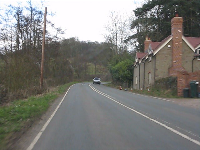
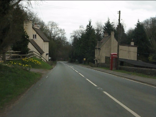
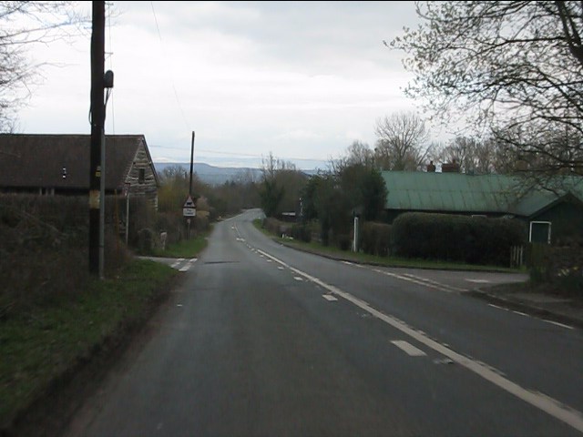
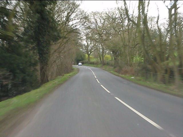
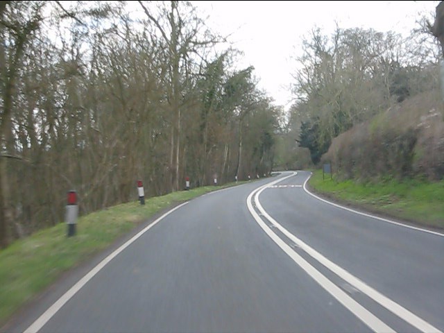
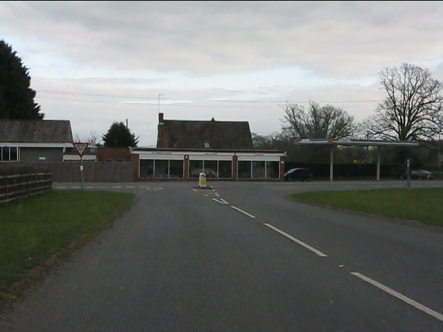
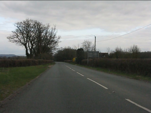
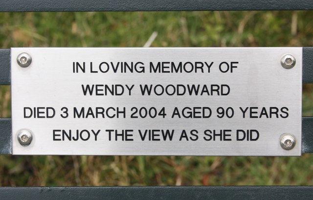
Chase End Street Images

Images are sourced within 2km of 52.016494/-2.340219 or Grid Reference SO7635. Thanks to Geograph Open Source API. All images are credited.

Hollybush Hill from the A438
Roadside cottages near Hollybush
A438 at Hollybush
A438 at Hollybush
Hollybush crossroads, A438
A438 near Coombegreen Common
A438 descends toward Rye Cross
A438 approaching Rye Cross The building houses G.Windle & Sons.  A filling station was also once operated here, but is now disused, though the canopy remains.
A438 approaching Rye Cross
The building houses G.Windle & Sons. A filling station was also once operated here, but is now disused, though the canopy remains.
A438 heading east from Rye Cross
A438 junction, Rye Street
Hollybush Hill It can be quite hard to imagine that 2000 years ago this quiet spot was part of a busy town - the Midsummer Hill iron-age hill-fort. 
Excavations in the late 1960s by Stan Stanford showed the area full of small building plots. 
Each plot had been reused time and time again over the centuries suggesting continuous occupation. 
The buildings used four posts arranged in a square - not at all like the round huts usually depicted for this era.
Evidence for similar square buildings have been found in other so called "hill-forts" in Herefordshire and the Welsh Marches
Hollybush Hill
It can be quite hard to imagine that 2000 years ago this quiet spot was part of a busy town - the Midsummer Hill iron-age hill-fort. Excavations in the late 1960s by Stan Stanford showed the area full of small building plots. Each plot had been reused time and time again over the centuries suggesting continuous occupation. The buildings used four posts arranged in a square - not at all like the round huts usually depicted for this era. Evidence for similar square buildings have been found in other so called "hill-forts" in Herefordshire and the Welsh Marches
Coombegreen The view from Wendy Woodward's seat atop the hillock on Coombegreen Common.
Looking out to the houses on the B4208 and those on Birts Street.
<a href="https://www.geograph.org.uk/photo/2511815">SO7736 : Wendy Woodward's seat, Coombegreen Common</a>
Coombegreen
The view from Wendy Woodward's seat atop the hillock on Coombegreen Common. Looking out to the houses on the B4208 and those on Birts Street. SO7736 : Wendy Woodward's seat, Coombegreen Common
Wendy Woodward's seat, Coombegreen Common The seat is at the front of the hill overlooking the Severn Plain.
Behind are several commemorative trees including one dating back to 1937 for the King's Coronation.
<a href="https://www.geograph.org.uk/photo/2511845">SO7736 : Plaque on Wendy Woodward's seat, Coombe Green</a>
<a href="https://www.geograph.org.uk/photo/2511865">SO7736 : Wendy Woodward's seat, Coombe Green Common</a>
<a href="https://www.geograph.org.uk/photo/2511797">SO7736 : Coombegreen</a>
Wendy Woodward's seat, Coombegreen Common
The seat is at the front of the hill overlooking the Severn Plain. Behind are several commemorative trees including one dating back to 1937 for the King's Coronation. SO7736 : Plaque on Wendy Woodward's seat, Coombe Green SO7736 : Wendy Woodward's seat, Coombe Green Common SO7736 : Coombegreen
Plaque on Wendy Woodward's seat, Coombe Green In loving memory of
Wendy Woodward
Died 3 March 2004 aged 90 years
Enjoy the view as she did
<a href="https://www.geograph.org.uk/photo/2511815">SO7736 : Wendy Woodward's seat, Coombegreen Common</a>
Plaque on Wendy Woodward's seat, Coombe Green
In loving memory of Wendy Woodward Died 3 March 2004 aged 90 years Enjoy the view as she did SO7736 : Wendy Woodward's seat, Coombegreen Common
Wendy Woodward's seat, Coombe Green Common At the front of the hill overlooking the Severn Plain.
<a href="https://www.geograph.org.uk/photo/2511815">SO7736 : Wendy Woodward's seat, Coombegreen Common</a>
Wendy Woodward's seat, Coombe Green Common
At the front of the hill overlooking the Severn Plain. SO7736 : Wendy Woodward's seat, Coombegreen Common
Hollybush Fete, Hollybush Church Hall, 2011 An auction of donated items too good for the bric-a-brac stall is taking place.
On the other side of the hall the skittles competition was taking place.
On this side books, CDs, a raffle.
Inside the hall, Cakes, jams, produce (I bought a box of quinces for £1!) clothes, and the bric-a-brac stall.
Scrummy cakes and cups of tea served in the adjoining room.
Hollybush Fete, Hollybush Church Hall, 2011
An auction of donated items too good for the bric-a-brac stall is taking place. On the other side of the hall the skittles competition was taking place. On this side books, CDs, a raffle. Inside the hall, Cakes, jams, produce (I bought a box of quinces for £1!) clothes, and the bric-a-brac stall. Scrummy cakes and cups of tea served in the adjoining room.
Skittles, Hollybush village fete, 2011 At the back of the church hall.
The ball return guttering is still working despite slowly deteriorating over the decades.
Skittles, Hollybush village fete, 2011
At the back of the church hall. The ball return guttering is still working despite slowly deteriorating over the decades.
Farmhouse at Golden Valley One of several timber-framed houses dotted around this part of the common. Beyond to the north is the ridge of the Malvern Hills.
Farmhouse at Golden Valley
One of several timber-framed houses dotted around this part of the common. Beyond to the north is the ridge of the Malvern Hills.
Hayes Coppice One of the many small woodlands in the surrounds of the Malvern Hills. This is a great place to visit if you like traditional old English woodland.  This is the Bromesberrow Estate in Gloucestershire, just to the north in Herefordshire is Eastnor which is also well wooded and very light on the Sitka.
 Oaks dominate the deep soils on the sandstones. Further up the hill on thin soils above Uriconian rocks ashes, some huge are the favoured tree.  Sadly the invasive sycamore is too common in the Malvern Hills, it thrived when grazing stopped.
Hayes Coppice
One of the many small woodlands in the surrounds of the Malvern Hills. This is a great place to visit if you like traditional old English woodland. This is the Bromesberrow Estate in Gloucestershire, just to the north in Herefordshire is Eastnor which is also well wooded and very light on the Sitka. Oaks dominate the deep soils on the sandstones. Further up the hill on thin soils above Uriconian rocks ashes, some huge are the favoured tree. Sadly the invasive sycamore is too common in the Malvern Hills, it thrived when grazing stopped.
Show me another place!

Chase End Street is located at Grid Ref: SO7635 (Lat: 52.016494, Lng: -2.340219)

Administrative County: Worcestershire

District: Malvern Hills

Police Authority: West Mercia

What 3 Words

///hiker.dripped.confused. Near Donnington, Herefordshire

Related Wikis

Whiteleaved Oak

Whiteleaved Oak is a hamlet in the English county of Herefordshire, lying in a valley at the southern end of the Malvern Hills between Raggedstone Hill...

Rye Cross

Rye Cross is a hamlet in south-west Worcestershire 1 mile west of Castlemorton, 0.5 miles east of Berrow and 1 mile south of Hollybush, near the borders...

Raggedstone Hill

Raggedstone Hill is situated on the range of Malvern Hills that runs approximately 13 kilometres (8 mi) north-south along the Herefordshire-Worcestershire...

Hollybush, Worcestershire

Hollybush is a small village in Worcestershire at the southern end of the Malvern Hills and close to the borders of both Gloucestershire and Herefordshire...

Birts Street

Birts Street is a village in Worcestershire, England.
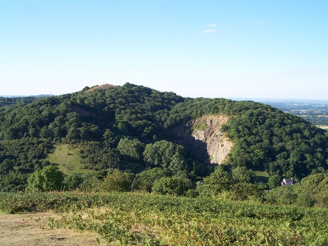
Midsummer Hill

Midsummer Hill is situated in the range of Malvern Hills that runs approximately 13 kilometres (8 mi) north-south along the Herefordshire-Worcestershire...

Hollybush Hill

Hollybush Hill is situated in the range of Malvern Hills that runs approximately 13 kilometres (8 mi) north–south along the Herefordshire–Worcestershire...

Hollybed Farm Meadows

Hollybed Farm Meadows is nature reserve of the Worcestershire Wildlife Trust, about 1 mile (1.6 km) west of the village of Castlemorton, in Worcestershire...

Nearby Amenities

Located within 500m of 52.016494,-2.340219
Post Box
Collection Times: Mo-Fr 15:00; Sa 10:30
Description: The hamlet seems to take its name from the thoroughfare.
In right-side boundary stone wall of house, a few meters along the N arm of this triangle junction./Chase End Street / Black Lane / (unnamed)
Post Box Design: hovis
Post Box Mounting: wall
Post Box Type: lamp
Ref: HR8 336
Royal Cypher: EVIIR
Royal Cypher Wikidata: Q33102324
Lat/Long: 52.013126/-2.340969
Power: pole
Lat/Long: 52.0170847/-2.341131
Perrins Court
Power: pole
Transformer: distribution
Voltage Primary: 11000
Lat/Long: 52.018567/-2.3428141
Power: pole
Lat/Long: 52.016405/-2.3403665
Power: pole
Lat/Long: 52.015649/-2.33946
Power: pole
Lat/Long: 52.014804/-2.3350239
Power: pole
Lat/Long: 52.0149146/-2.3365286
Power: pole
Lat/Long: 52.0150038/-2.3380843
Power: pole
Lat/Long: 52.0150401/-2.3386341
Chase End
Power: pole
Transformer: distribution
Voltage Primary: 11000
Lat/Long: 52.0151193/-2.3399176
Power: pole
Lat/Long: 52.0192081/-2.3460022
Power: pole
Lat/Long: 52.0189193/-2.3451586
Power: pole
Lat/Long: 52.018675/-2.3444599
Power: pole
Lat/Long: 52.0184043/-2.3436935
Power: pole
Lat/Long: 52.0178249/-2.3419708
Power: pole
Lat/Long: 52.012152/-2.3403843
Power: pole
Lat/Long: 52.0129155/-2.3397486
Power: pole
Lat/Long: 52.0132845/-2.3394388
Power: pole
Lat/Long: 52.0140538/-2.3388125
Power: pole
Lat/Long: 52.0145127/-2.33758
The data included in this document is from www.openstreetmap.org. The data is made available under ODbL.

Have you been to Chase End Street?

Leave your review of Chase End Street below (or comments, questions and feedback).