Barteliver Wood

Wood, Forest in Cornwall

England

Barteliver Wood

Grampound - Town Hall The Town Hall (now parish room) with its attractive clock tower probably dates from the early C18th but with C19th and C20th alterations, including the rebuilding of the clock tower in c.1982
It is called the 'town' hall although Grampound is only a village.
It is EH Grade II listed: <span class="nowrap"><a title="https://historicengland.org.uk/listing/the-list/list-entry/1144042" rel="nofollow ugc noopener" href="https://historicengland.org.uk/listing/the-list/list-entry/1144042">Link</a><img style="margin-left:2px;" alt="External link" title="External link - shift click to open in new window" src="https://s1.geograph.org.uk/img/external.png" width="10" height="10"/></span>
In front of it can be seen <a href="https://www.geograph.org.uk/photo/7055574">SW9348 : Old Central Cross on the A390 Fore Street in Grampound</a> which is also Grade II listed <span class="nowrap"><a title="https://historicengland.org.uk/listing/the-list/list-entry/1136383" rel="nofollow ugc noopener" href="https://historicengland.org.uk/listing/the-list/list-entry/1136383">Link</a><img style="margin-left:2px;" alt="External link" title="External link - shift click to open in new window" src="https://s1.geograph.org.uk/img/external.png" width="10" height="10"/></span>
Grampound - Town Hall Credit: Rob Farrow

Barteliver Wood is a picturesque woodland located in the county of Cornwall, England. Covering an area of approximately 100 acres, it is a prominent attraction for nature enthusiasts and those seeking tranquility amidst the breathtaking beauty of the region. Situated in close proximity to the village of Barteliver, the wood is easily accessible for visitors.

The woodland is predominantly composed of native deciduous trees, including oak, birch, and beech, which create a rich and diverse ecosystem. The varied canopy provides shelter for a wide range of wildlife, including birds, mammals, and insects. It is not uncommon to spot woodpeckers, deer, and squirrels as you explore the wood's winding trails.

Barteliver Wood offers a unique and immersive experience for visitors. The forest floor is carpeted with wildflowers, creating a vibrant tapestry of colors during spring and summer. There are several well-maintained walking paths and trails that allow visitors to explore the wood at their own pace, taking in the sights and sounds of nature.

The wood is also known for its historical significance, with traces of ancient settlements and archaeological sites scattered throughout. It is believed that the wood has been inhabited by humans for thousands of years, and remnants of Iron Age and Roman structures have been discovered within its boundaries.

Overall, Barteliver Wood in Cornwall is a haven for nature lovers and history enthusiasts alike. Its natural beauty, diverse wildlife, and historical significance make it a must-visit destination for anyone seeking to immerse themselves in the wonders of the Cornish countryside.

If you have any feedback on the listing, please let us know in the comments section below.

Barteliver Wood Images

Images are sourced within 2km of 50.295382/-4.9093653 or Grid Reference SW9247. Thanks to Geograph Open Source API. All images are credited.

Grampound - Town Hall The Town Hall (now parish room) with its attractive clock tower probably dates from the early C18th but with C19th and C20th alterations, including the rebuilding of the clock tower in c.1982
It is called the 'town' hall although Grampound is only a village.
It is EH Grade II listed: <span class="nowrap"><a title="https://historicengland.org.uk/listing/the-list/list-entry/1144042" rel="nofollow ugc noopener" href="https://historicengland.org.uk/listing/the-list/list-entry/1144042">Link</a><img style="margin-left:2px;" alt="External link" title="External link - shift click to open in new window" src="https://s1.geograph.org.uk/img/external.png" width="10" height="10"/></span>
In front of it can be seen <a href="https://www.geograph.org.uk/photo/7055574">SW9348 : Old Central Cross on the A390 Fore Street in Grampound</a> which is also Grade II listed <span class="nowrap"><a title="https://historicengland.org.uk/listing/the-list/list-entry/1136383" rel="nofollow ugc noopener" href="https://historicengland.org.uk/listing/the-list/list-entry/1136383">Link</a><img style="margin-left:2px;" alt="External link" title="External link - shift click to open in new window" src="https://s1.geograph.org.uk/img/external.png" width="10" height="10"/></span>
Grampound - Town Hall
The Town Hall (now parish room) with its attractive clock tower probably dates from the early C18th but with C19th and C20th alterations, including the rebuilding of the clock tower in c.1982 It is called the 'town' hall although Grampound is only a village. It is EH Grade II listed: LinkExternal link In front of it can be seen SW9348 : Old Central Cross on the A390 Fore Street in Grampound which is also Grade II listed LinkExternal link
Old Central Cross on the A390 Fore Street in Grampound Grampound Market Cross, the old shaft, base and steps of a central cross. Set on the northeast side of the T junction of the A390 Fore Street and Pepo Lane in Grampound with Creed parish. Grade II Listed <span class="nowrap"><a title="https://historicengland.org.uk/listing/the-list/list-entry/1136383" rel="nofollow ugc noopener" href="https://historicengland.org.uk/listing/the-list/list-entry/1136383">Link</a><img style="margin-left:2px;" alt="External link" title="External link - shift click to open in new window" src="https://s1.geograph.org.uk/img/external.png" width="10" height="10"/></span>. See also <a title="https://www.geograph.org.uk/photo/6988067" href="https://www.geograph.org.uk/photo/6988067">Link</a>.

Milestone Society National ID: CWRE_GRA04
Old Central Cross on the A390 Fore Street in Grampound
Grampound Market Cross, the old shaft, base and steps of a central cross. Set on the northeast side of the T junction of the A390 Fore Street and Pepo Lane in Grampound with Creed parish. Grade II Listed LinkExternal link. See also Link. Milestone Society National ID: CWRE_GRA04
Farmland, Probus A wooded valley separating fields of grass below the road near Golden Cot Farm.
Farmland, Probus
A wooded valley separating fields of grass below the road near Golden Cot Farm.
Milestone White stone in centre of photo
Milestone
White stone in centre of photo
St Nun's Church
St Nun's Church
Bird on roof
Bird on roof
Roadworks
Roadworks
Old Milestone by the A390 in Grampound Carved stone post by the A390, in parish of GRAMPOUND WITH CREED (RESTORMEL District), by public weighbridge, just West of tollhouse, on grass verge, on North side of road. Truro stone, erected by the Truro turnpike trust in the 18th century. 

Inscription reads:-
FROM
TRURO
8
MILES

Grade II listed. 
List Entry Number: 1396215

Milestone Society National ID: CW_TOSA08
Old Milestone by the A390 in Grampound
Carved stone post by the A390, in parish of GRAMPOUND WITH CREED (RESTORMEL District), by public weighbridge, just West of tollhouse, on grass verge, on North side of road. Truro stone, erected by the Truro turnpike trust in the 18th century. Inscription reads:- FROM TRURO 8 MILES Grade II listed. List Entry Number: 1396215 Milestone Society National ID: CW_TOSA08
St Crida's Church
St Crida's Church
Former Frampound Bible Christian Chapel
A390 by the turn off for Trewithen Gardens
A390 approaching Grampound
A390 Newstables junction
A390 towards turnoff for Trewithen Gardens
A390 towards Probus
A390 towards Probus
A390 at the turn off for Grampound Road
A390 near Trevolland
A390 West  of Grampound
A390 West of Grampound
Show me another place!

Barteliver Wood is located at Grid Ref: SW9247 (Lat: 50.295382, Lng: -4.9093653)

Unitary Authority: Cornwall

Police Authority: Devon and Cornwall

What 3 Words

///statement.salaried.left. Near Probus, Cornwall

Related Wikis

Grampound (UK Parliament constituency)

Grampound in Cornwall was a borough constituency of the House of Commons of the Parliament of England, then of the Parliament of Great Britain from 1707...
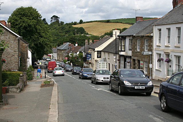
Grampound

Grampound (Cornish: Ponsmeur) is a village and former civil parish, now in the parish of Grampound with Creed, in the Cornwall district, in the ceremonial...
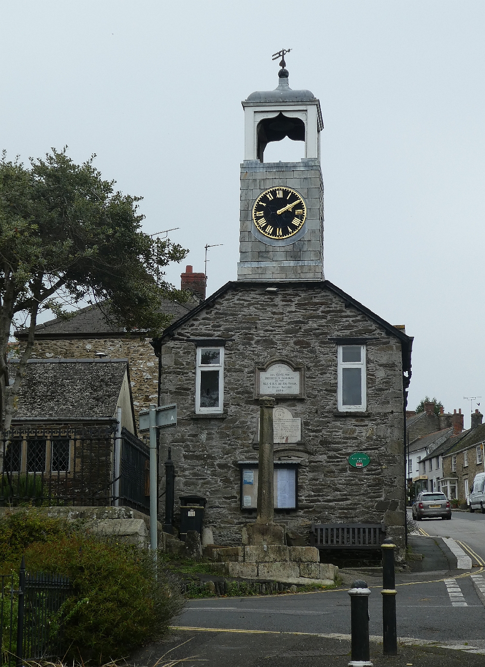
Grampound Town Hall

Grampound Town Hall is a municipal building in Fore Street, Grampound, Cornwall, England. The structure, which now accommodates a heritage centre, is a...

Grampound with Creed

Grampound with Creed (Cornish: Ponsmeur a'byth Sen Krida) is a civil parish in Cornwall, England, United Kingdom. The two major settlements in the parish...

Nearby Amenities

Located within 500m of 50.295382,-4.9093653
WW2 Grampound Auxiliary Unit Operational Base (site of)
Building: bunker
Military: bunker
Lat/Long: 50.2956951/-4.9091015
Bench: yes
Leisure: picnic_table
Lit: no
Material: wood
Lat/Long: 50.2980939/-4.9048046
Bench: yes
Leisure: picnic_table
Lit: no
Material: wood
Lat/Long: 50.2980201/-4.9049091
Access: no
Foot: yes
Ford: yes
Lat/Long: 50.2951167/-4.9112929
The data included in this document is from www.openstreetmap.org. The data is made available under ODbL.

Have you been to Barteliver Wood?

Leave your review of Barteliver Wood below (or comments, questions and feedback).