Nantillio Plantation

Wood, Forest in Cornwall

England

Nantillio Plantation

Junction with the A30 at Summercourt Summercourt used to be on the A30 but was bypassed many years ago and is consequently now a quiet backwater.
Junction with the A30 at Summercourt Credit: Rod Allday

Nantillio Plantation, located in Cornwall, England, is a picturesque wood and forest area that captivates visitors with its natural beauty and rich history. Spanning over a vast expanse of land, this plantation is a haven for nature enthusiasts and those seeking tranquility amidst lush greenery.

The plantation is characterized by its dense woodland, comprised of various tree species, including oak, beech, and pine. The towering trees create a majestic canopy, providing shade and shelter to a diverse array of flora and fauna. Walking through the plantation, visitors can immerse themselves in the peaceful ambiance, surrounded by the sweet scent of wildflowers and the soothing sounds of birds chirping.

Nantillio Plantation is not just a natural paradise; it also holds significant historical importance. Dating back several centuries, the site was once a thriving hub for timber production, serving as a source of valuable wood for building and shipbuilding industries. Remnants of old sawmills and timber yards can still be found, adding a touch of nostalgia to the area.

The plantation offers a range of recreational activities for visitors to enjoy. Hiking and walking trails are available, allowing visitors to explore the plantation at their own pace. These trails lead to hidden gems, such as tranquil ponds and breathtaking viewpoints, perfect for capturing the beauty of the surrounding landscape.

Nantillio Plantation, with its combination of natural splendor and historical significance, is a must-visit destination for nature lovers and history enthusiasts alike. Whether it's a leisurely stroll through the woods or an exploration of its past, this Cornwall gem offers an unforgettable experience for all who venture within its boundaries.

If you have any feedback on the listing, please let us know in the comments section below.

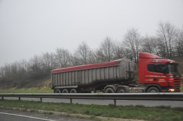
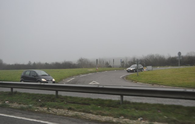
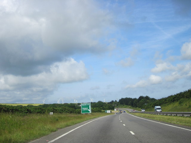
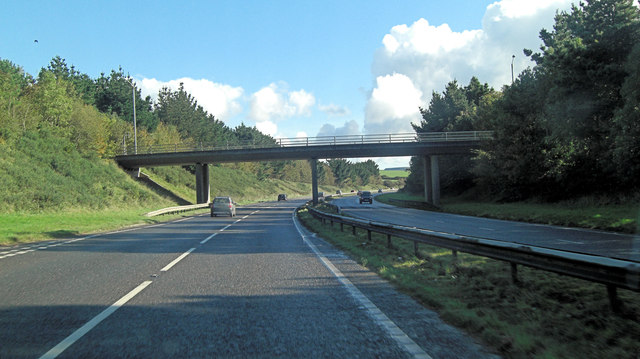
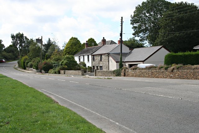
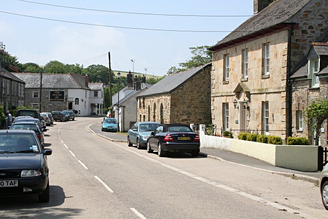
Nantillio Plantation Images

Images are sourced within 2km of 50.349654/-4.9865474 or Grid Reference SW8754. Thanks to Geograph Open Source API. All images are credited.

Junction with the A30 at Summercourt Summercourt used to be on the A30 but was bypassed many years ago and is consequently now a quiet backwater.
Junction with the A30 at Summercourt
Summercourt used to be on the A30 but was bypassed many years ago and is consequently now a quiet backwater.
Restormel : The A30 The A30 heading through Cornwall in the former Restormel district.
Restormel : The A30
The A30 heading through Cornwall in the former Restormel district.
Restormel : The A30 Heading along the A30 road on a foggy day in Cornwall.
Restormel : The A30
Heading along the A30 road on a foggy day in Cornwall.
Restormel : The A30 The A30 and a lorry on the opposite carriageway heading even further down into the south west.
Restormel : The A30
The A30 and a lorry on the opposite carriageway heading even further down into the south west.
Restormel : The A30 Road Junction A road junction with cars being able to join the A30 here.
Restormel : The A30 Road Junction
A road junction with cars being able to join the A30 here.
A30 Westbound, Junction For Newquay A3076
A30 crossed by A3076
A30 at Lower Penscawn
A30 west of Higher Resparva Farm
A30 north of Mitchell The road runs on the side of a gentle slope, so the land drops away on the left and there is a slight slope up on the right, which screens the village from some road noise.
A30 north of Mitchell
The road runs on the side of a gentle slope, so the land drops away on the left and there is a slight slope up on the right, which screens the village from some road noise.
A3076 junction and bridge with A30 The bridge is just north of the village of Mitchell; traffic can join the A30 using the slip on the left.
A3076 junction and bridge with A30
The bridge is just north of the village of Mitchell; traffic can join the A30 using the slip on the left.
Access to A30 at Lower Penscawn This (very) small access point is not marked by signs.  The satellite view shows that it leads to Lower Penscawn and thence by a track to a minor road.
Access to A30 at Lower Penscawn
This (very) small access point is not marked by signs. The satellite view shows that it leads to Lower Penscawn and thence by a track to a minor road.
Lower and Higher Resparva farms The closer building beside the A30 is the house at Lower Resparva, and the barns belong to the second farm
Lower and Higher Resparva farms
The closer building beside the A30 is the house at Lower Resparva, and the barns belong to the second farm
A30 lay-by north of Chapel Town A large lay-by, protected from the traffic by a kerb and bollards.
A30 lay-by north of Chapel Town
A large lay-by, protected from the traffic by a kerb and bollards.
On the A30 Heading in a north-easterly direction near Lower Resparva.
On the A30
Heading in a north-easterly direction near Lower Resparva.
The A30 A lorry parked up in a layby at Lower Penscawn.
The A30
A lorry parked up in a layby at Lower Penscawn.
The A30 Bridge and wind turbines at Mitchell.
The A30
Bridge and wind turbines at Mitchell.
Pylons viewed from Carnego Lane Pylons and power lines crossing farmland near Summercourt, viewed here from Carnego Lane.
Pylons viewed from Carnego Lane
Pylons and power lines crossing farmland near Summercourt, viewed here from Carnego Lane.
Show me another place!

Nantillio Plantation is located at Grid Ref: SW8754 (Lat: 50.349654, Lng: -4.9865474)

Unitary Authority: Cornwall

Police Authority: Devon and Cornwall

What 3 Words

///tabs.vertical.captions. Near St Stephen, Cornwall

Related Wikis

Arrallas

Arrallas (also Argallez, Argalles) was a manorial settlement recorded in the Domesday book, when in 1086 it had seven households and three ploughlands...

Chapel Town, Cornwall

Chapel Town is a hamlet in the civil parish of St Enoder in Cornwall, England 0.5 miles (0.80 km) south-west of Summercourt on the A30 main road. ��2...

Mitchell, Cornwall

Mitchell (sometimes known as Michael or St Michael's) is a village in mid Cornwall, England. It is situated 14 miles (22 km) northeast of Redruth and 17...

Trelassick

Trelassick is a hamlet northwest of Ladock, Cornwall, England, United Kingdom. == References ==

Nearby Amenities

Located within 500m of 50.349654,-4.9865474
Power: tower
Source: bing
Lat/Long: 50.3532447/-4.9898848
Power: pole
Source: bing
Lat/Long: 50.3472268/-4.9888495
Power: pole
Source: bing
Lat/Long: 50.3480997/-4.9863121
Power: pole
Source: bing
Lat/Long: 50.3464395/-4.991006
Power: pole
Source: bing
Lat/Long: 50.3503076/-4.9796924
Power: pole
Source: bing
Lat/Long: 50.3498999/-4.980923
Power: pole
Source: bing
Lat/Long: 50.3491064/-4.9832985
The data included in this document is from www.openstreetmap.org. The data is made available under ODbL.

Have you been to Nantillio Plantation?

Leave your review of Nantillio Plantation below (or comments, questions and feedback).