Birch Wood
Wood, Forest in Cornwall
England
Birch Wood
Birch Wood, located in Cornwall, is a picturesque forest known for its abundant birch trees. Situated in the southwestern part of England, Cornwall is renowned for its stunning natural landscapes, and Birch Wood is no exception.
Covering a vast area, Birch Wood is characterized by its dense and diverse vegetation. The forest is dominated by towering birch trees, known for their slender trunks and distinctive white bark. These trees create a unique and enchanting atmosphere, especially during the spring and summer months when their leaves are in full bloom, casting dappled sunlight onto the forest floor.
The woodland floor of Birch Wood is teeming with a rich variety of flora and fauna. Wildflowers such as bluebells, primroses, and wood anemones carpet the forest floor, adding vibrant pops of color. The ecosystem supports an array of wildlife, including a plethora of bird species, squirrels, and a host of insects.
Birch Wood offers an ideal environment for outdoor enthusiasts, providing numerous walking trails and paths that wind through the forest. These trails allow visitors to fully immerse themselves in the natural beauty of the area, providing opportunities for tranquility and relaxation. The woodland is also home to several picnic spots, offering the perfect location to enjoy a meal amidst nature's splendor.
Overall, Birch Wood in Cornwall is a haven for nature lovers, offering a peaceful and enchanting escape from the bustling modern world. Its diverse flora and fauna, coupled with its scenic beauty, make it a must-visit destination for those seeking a connection with the natural world.
If you have any feedback on the listing, please let us know in the comments section below.
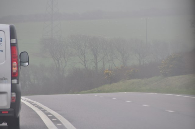
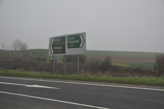
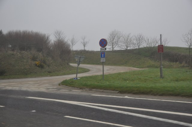
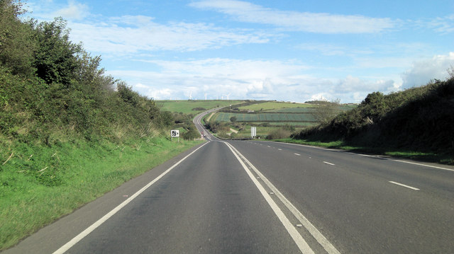
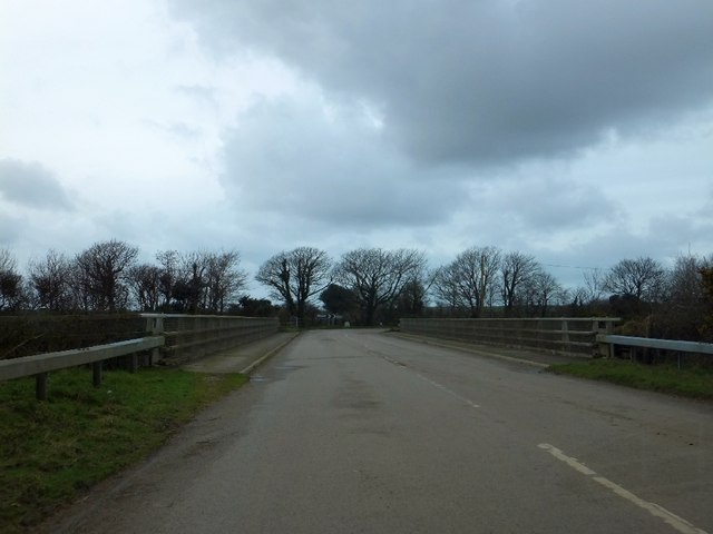
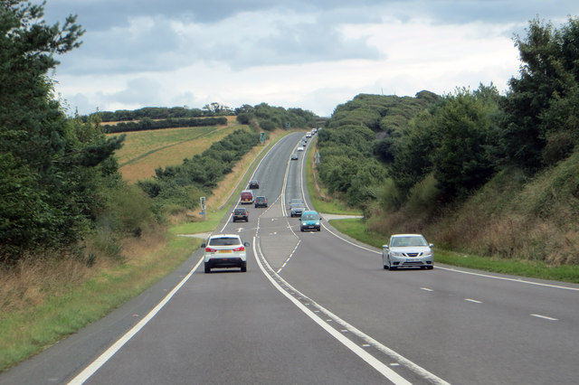
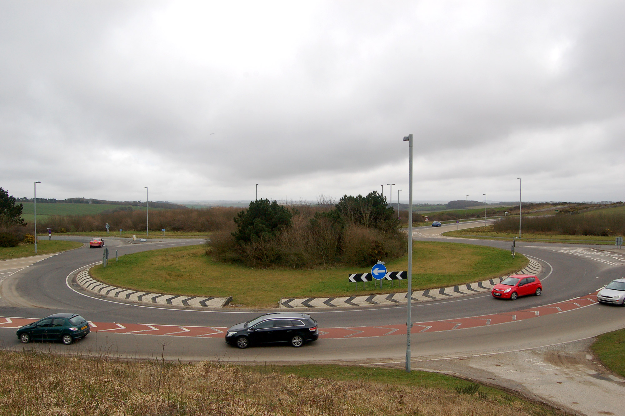
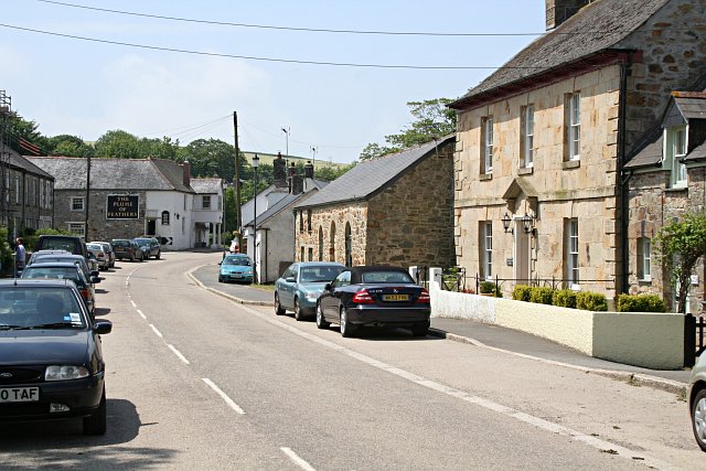
Birch Wood Images
Images are sourced within 2km of 50.334269/-5.0041053 or Grid Reference SW8652. Thanks to Geograph Open Source API. All images are credited.


Birch Wood is located at Grid Ref: SW8652 (Lat: 50.334269, Lng: -5.0041053)
Unitary Authority: Cornwall
Police Authority: Devon and Cornwall
What 3 Words
///breeding.mooring.kiosk. Near Probus, Cornwall
Nearby Locations
Related Wikis

Trelassick
Trelassick is a hamlet northwest of Ladock, Cornwall, England, United Kingdom. == References ==
Carland Cross
Carland Cross is a location in Cornwall, England, United Kingdom, about six miles (10 kilometres) north of Truro at OS grid reference OS grid ref SW846539...
Mitchell, Cornwall
Mitchell (sometimes known as Michael or St Michael's) is a village in mid Cornwall, England. It is situated 14 miles (22 km) northeast of Redruth and 17...

Arrallas
Arrallas (also Argallez, Argalles) was a manorial settlement recorded in the Domesday book, when in 1086 it had seven households and three ploughlands...
Nearby Amenities
Located within 500m of 50.334269,-5.0041053Have you been to Birch Wood?
Leave your review of Birch Wood below (or comments, questions and feedback).