Gwarnick Wood

Wood, Forest in Cornwall

England

Gwarnick Wood

Entrance to Penrose Water Gardens Entrance to Penrose Water Gardens and Great Roseveth.
Entrance to Penrose Water Gardens Credit: Elizabeth Scott

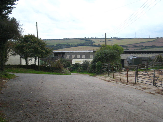
Gwarnick Wood is a picturesque and enchanting forest located in Cornwall, England. Spanning over a vast area, this woodland is a haven for nature lovers and outdoor enthusiasts alike. Situated near the village of St. Stephen, Gwarnick Wood boasts a diverse range of flora and fauna, making it a vital habitat for various wildlife species.

The wood is predominantly composed of beech and oak trees, which create a dense and majestic canopy that provides shade and shelter. The forest floor is carpeted with a rich assortment of wildflowers, ferns, and mosses, adding to the wood's natural beauty. The tranquil atmosphere is further enhanced by the gentle rustling of leaves and the melodic songs of the woodland birds.

Walking trails wind their way through Gwarnick Wood, allowing visitors to explore its hidden treasures. These paths offer stunning views of the surrounding countryside and provide opportunities for peaceful walks and hikes. The wood is also home to a diverse range of wildlife, including deer, squirrels, badgers, and an array of bird species. It is not uncommon to spot a fox or catch a glimpse of a rare butterfly fluttering amidst the foliage.

Gwarnick Wood is a popular destination for nature enthusiasts, photographers, and those seeking solace in the great outdoors. Its natural beauty and tranquil ambiance make it an ideal place for relaxation and rejuvenation. Whether one chooses to meander along the woodland trails or simply sit in quiet contemplation, Gwarnick Wood offers a truly enchanting experience for all who visit.

If you have any feedback on the listing, please let us know in the comments section below.

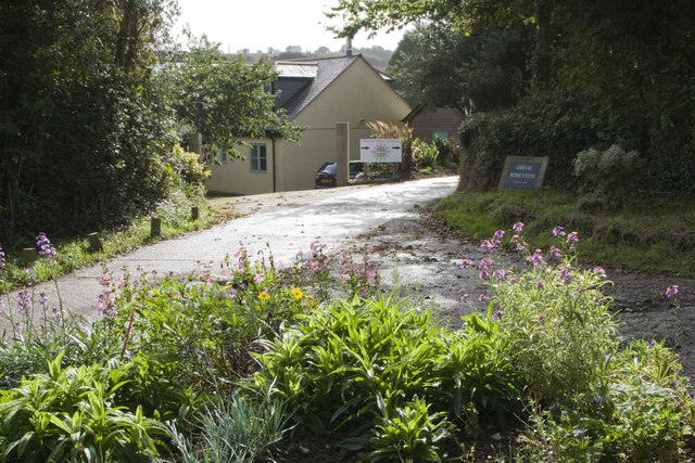
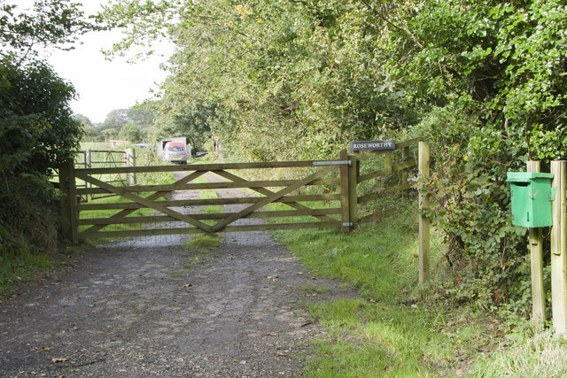
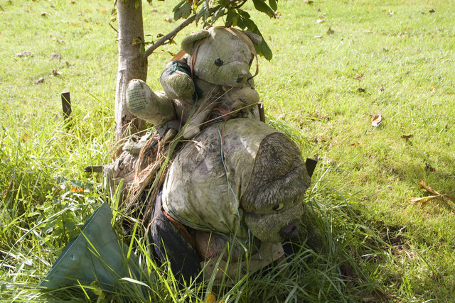
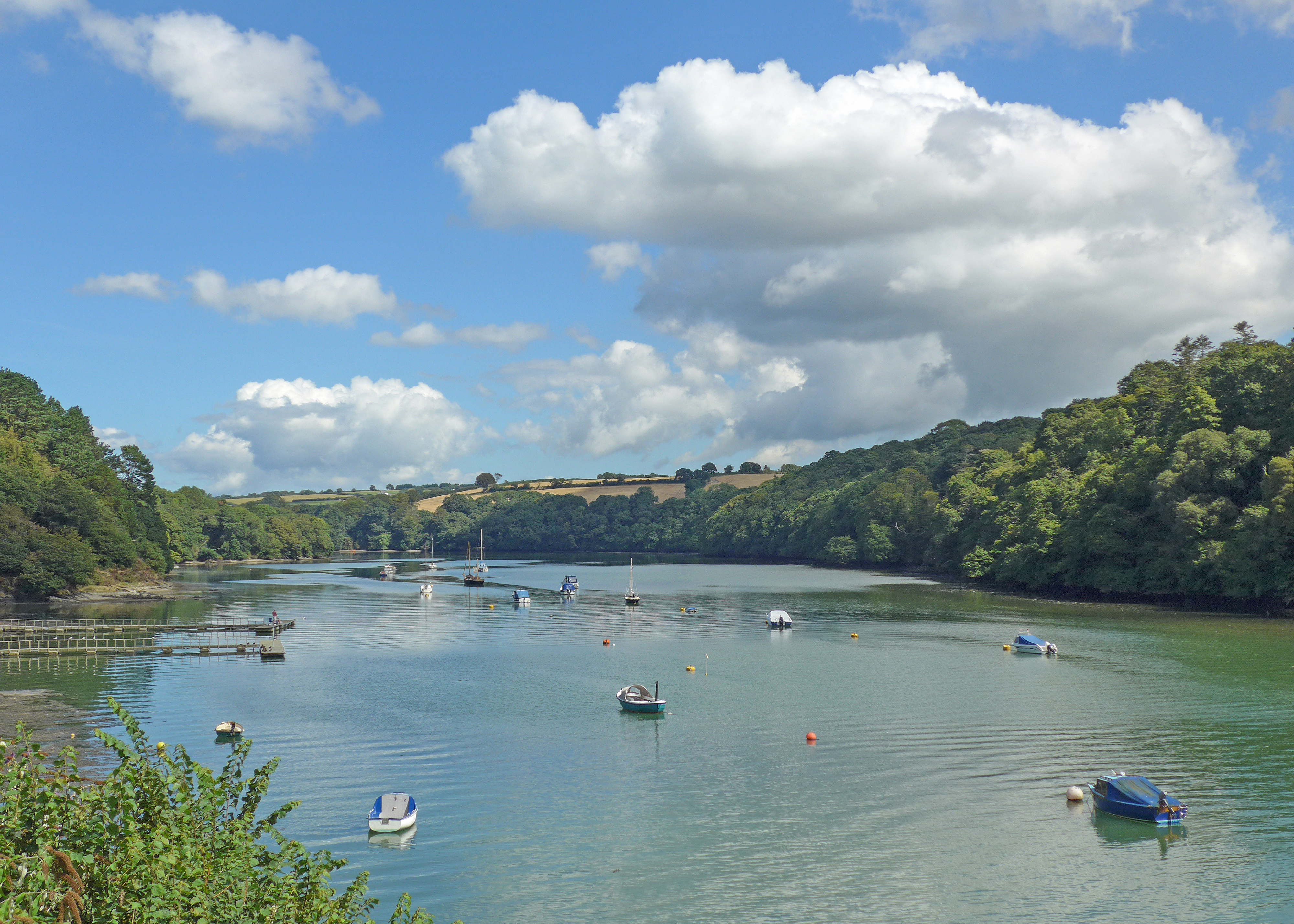
Gwarnick Wood Images

Images are sourced within 2km of 50.294611/-5.0720706 or Grid Reference SW8148. Thanks to Geograph Open Source API. All images are credited.

Entrance to Penrose Water Gardens Entrance to Penrose Water Gardens and Great Roseveth.
Entrance to Penrose Water Gardens
Entrance to Penrose Water Gardens and Great Roseveth.
Roseworthy Entrance to Roseworthy
Roseworthy
Entrance to Roseworthy
Eeyore Piglet and Pooh I think these toys are Eeyore Piglet and Pooh. They are weather-beaten, and there is nothing to explain why they have been placed in the middle of this triangular green beneath a small tree. Was it a sad event or a happy one?
Eeyore Piglet and Pooh
I think these toys are Eeyore Piglet and Pooh. They are weather-beaten, and there is nothing to explain why they have been placed in the middle of this triangular green beneath a small tree. Was it a sad event or a happy one?
Farm building at Rosehill Barn at Rosehill.
Farm building at Rosehill
Barn at Rosehill.
Ventontrissick Ford This ford is found just beyond the houses at Ventontrissick.
Ventontrissick Ford
This ford is found just beyond the houses at Ventontrissick.
Old Milestone on Old Truro Road near Boswellick Carved stone post by the UC road, in parish of ST ALLEN (CARRICK District), Boswellick, Old Truro Road, under oak tree, against bank, on West side of road. Truro stone, erected by the Truro turnpike trust in the 18th century. 

Inscription reads:-
FROM
TRURO
4
MILES  
Carved benchmark on front face.

Grade II Listed. List Entry Number:1136696 
<span class="nowrap"><a title="https://historicengland.org.uk/listing/the-list/list-entry/1136696" rel="nofollow ugc noopener" href="https://historicengland.org.uk/listing/the-list/list-entry/1136696">Link</a><img style="margin-left:2px;" alt="External link" title="External link - shift click to open in new window" src="https://s1.geograph.org.uk/img/external.png" width="10" height="10"/></span>

Milestone Society National ID: CW_TOZE04.
Old Milestone on Old Truro Road near Boswellick
Carved stone post by the UC road, in parish of ST ALLEN (CARRICK District), Boswellick, Old Truro Road, under oak tree, against bank, on West side of road. Truro stone, erected by the Truro turnpike trust in the 18th century. Inscription reads:- FROM TRURO 4 MILES Carved benchmark on front face. Grade II Listed. List Entry Number:1136696 LinkExternal link Milestone Society National ID: CW_TOZE04.
Old Milestone on Old Truro Road near Boswellick Carved stone post by the UC road, in parish of ST ALLEN (CARRICK District), Boswellick, Old Truro Road, under oak tree, against bank, on West side of road. Truro stone, erected by the Truro turnpike trust in the 18th century. 

Inscription reads:-
FROM
TRURO
4
MILES
Carved benchmark on lower front face.

Grade II listed. 
List Entry Number: 1136696 <span class="nowrap"><a title="https://historicengland.org.uk/listing/the-list/list-entry/1136696" rel="nofollow ugc noopener" href="https://historicengland.org.uk/listing/the-list/list-entry/1136696">Link</a><img style="margin-left:2px;" alt="External link" title="External link - shift click to open in new window" src="https://s1.geograph.org.uk/img/external.png" width="10" height="10"/></span>

Milestone Society National ID: CW_TOZE04.
Old Milestone on Old Truro Road near Boswellick
Carved stone post by the UC road, in parish of ST ALLEN (CARRICK District), Boswellick, Old Truro Road, under oak tree, against bank, on West side of road. Truro stone, erected by the Truro turnpike trust in the 18th century. Inscription reads:- FROM TRURO 4 MILES Carved benchmark on lower front face. Grade II listed. List Entry Number: 1136696 LinkExternal link Milestone Society National ID: CW_TOZE04.
Pasture, Kenwyn A footpath approaches Shortlanesend along the field's edge.
Pasture, Kenwyn
A footpath approaches Shortlanesend along the field's edge.
Farmland, Kenwyn A house at Burnetts is in the middle-ground.
Farmland, Kenwyn
A house at Burnetts is in the middle-ground.
Woodland, St Allen Conifers giving way to deciduous woodland near the eastern edge of Idless Woods.
Woodland, St Allen
Conifers giving way to deciduous woodland near the eastern edge of Idless Woods.
Woodland, Kenwyn Beeches in the southern part of Idless Woods.
Woodland, Kenwyn
Beeches in the southern part of Idless Woods.
Pasture, Kenwyn Lanner Wood is seen from the footpath to its south.
Pasture, Kenwyn
Lanner Wood is seen from the footpath to its south.
Pasture and solar panels, St Allen Viewed from the road north of Gwarnick, fields of panels such as these are now a common sight across central Cornwall.
Pasture and solar panels, St Allen
Viewed from the road north of Gwarnick, fields of panels such as these are now a common sight across central Cornwall.
Farmland, St Allen A field to the east of Killivose, cultivated for a spring-sown crop.
Farmland, St Allen
A field to the east of Killivose, cultivated for a spring-sown crop.
Lord's Wood, Kenwyn A north-western part of the Forestry Commission's Idless Woods.
Lord's Wood, Kenwyn
A north-western part of the Forestry Commission's Idless Woods.
Farmland, Kenwyn Fields of stubble beside the lane climbing from Idless to Shortlanesend.
Farmland, Kenwyn
Fields of stubble beside the lane climbing from Idless to Shortlanesend.
Pasture, Kenwyn The southern edge of Shortlanesend is seen from the footpath south of Royal Farm.
Pasture, Kenwyn
The southern edge of Shortlanesend is seen from the footpath south of Royal Farm.
Former Wesleyan chapel, Shortlanesend
Show me another place!

Gwarnick Wood is located at Grid Ref: SW8148 (Lat: 50.294611, Lng: -5.0720706)

Unitary Authority: Cornwall

Police Authority: Devon and Cornwall

What 3 Words

///ignore.keen.hiked. Near Truro, Cornwall

Related Wikis

Shortlanesend and Allet

Shortlanesend (Cornish: Penn an Vownder, meaning end of the lane) is a village in Kenwyn parish, Cornwall, England, United Kingdom. It lies two miles north...

Idless

Idless (Cornish: Edhelys, meaning place of aspen trees) is a hamlet north of Truro in Cornwall, England. The River Allen rises north of St Allen and flows...

Tresillian River

The Tresillian River is a tributary of the River Fal in Cornwall. It rises in the Clay Country and is fed by springs between Summercourt and Mitchell....

Killivose

Killivose, Zelah is a hamlet south of Zelah in the parish of St Allen (where the population in the 2011 census was included.) in Cornwall, England....

Nearby Amenities

Located within 500m of 50.294611,-5.0720706
Power: pole
Lat/Long: 50.2910126/-5.0705874
Power: pole
Lat/Long: 50.2924461/-5.0705311
Power: pole
Lat/Long: 50.2945572/-5.070456
Power: pole
Lat/Long: 50.295318/-5.0705284
Power: pole
Lat/Long: 50.2965302/-5.0706477
Power: pole
Lat/Long: 50.2976876/-5.0707591
The data included in this document is from www.openstreetmap.org. The data is made available under ODbL.

Have you been to Gwarnick Wood?

Leave your review of Gwarnick Wood below (or comments, questions and feedback).