Charsfield
Settlement in Suffolk East Suffolk
England
Charsfield
Charsfield is a quaint village located in the county of Suffolk, England. Situated in the East Anglian region, it lies approximately 15 miles northeast of the county town of Ipswich. With a population of around 400 residents, it is a small and close-knit community that exudes a sense of charm and tranquility.
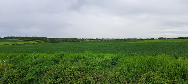
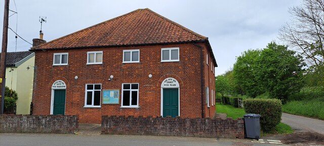
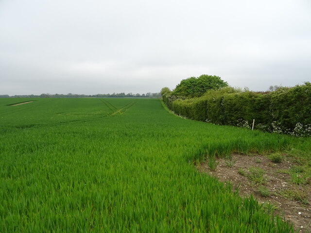
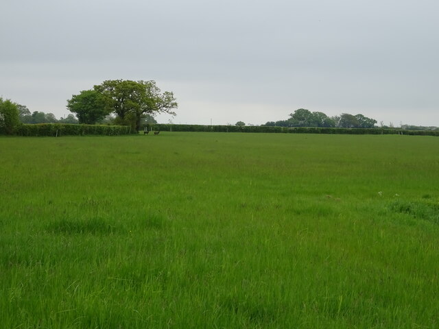
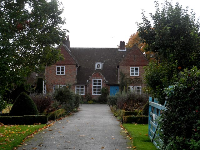
The village is characterized by its picturesque rural setting, surrounded by scenic countryside and rolling hills. It boasts a combination of period cottages, traditional farmhouses, and a few modern homes, blending together to create a unique architectural landscape. Many of these buildings date back several centuries, showcasing the village's rich history.
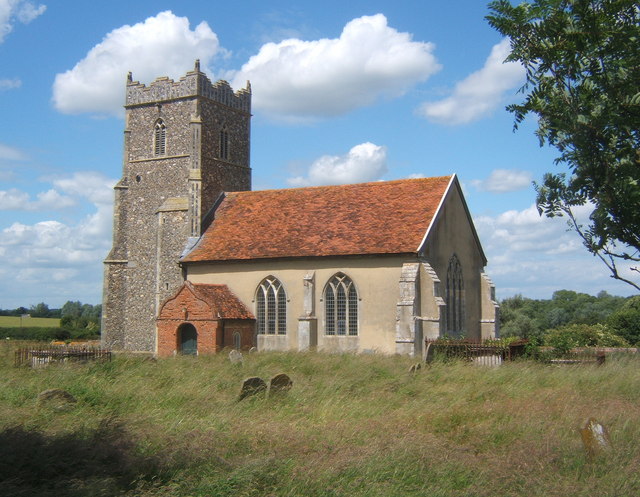
At the heart of Charsfield lies its historic parish church, St. Peter's, which dates back to the 14th century. The church's stunning architecture and peaceful atmosphere make it a popular spot for locals and visitors alike.
The village is also home to a primary school, providing education for children aged 4 to 11. The school plays a vital role in the community, fostering a strong sense of togetherness and support.
Despite its small size, Charsfield offers a range of amenities for its residents. These include a village hall, a playground, and a local pub, where villagers can socialize and enjoy a drink or a meal.
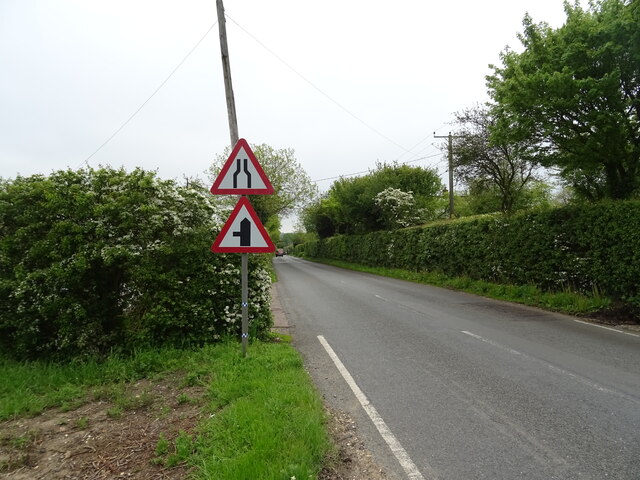
Charsfield's location makes it ideal for those seeking a rural lifestyle while still maintaining accessibility to larger towns and cities. The nearby market town of Woodbridge, with its array of shops, restaurants, and cultural attractions, is just a short drive away.
Overall, Charsfield is a charming village that offers a peaceful and idyllic setting for its residents, while also providing easy access to the amenities of nearby towns.
If you have any feedback on the listing, please let us know in the comments section below.
Charsfield Images
Images are sourced within 2km of 52.158583/1.300653 or Grid Reference TM2556. Thanks to Geograph Open Source API. All images are credited.


Charsfield is located at Grid Ref: TM2556 (Lat: 52.158583, Lng: 1.300653)
Administrative County: Suffolk
District: East Suffolk
Police Authority: Suffolk
What 3 Words
///surfed.engine.paler. Near Wickham Market, Suffolk
Nearby Locations
Related Wikis

Charsfield
Charsfield is a small Suffolk village of 342 residents, 3 miles (4.8 km) from Wickham Market, 7 miles (11 km) from Woodbridge and 12 miles (19 km) from...

Dallinghoo
Dallinghoo is a village and civil parish about three miles (5 km) north of Woodbridge, East Suffolk, Suffolk, England. In 2011 the parish had a population...
Letheringham
Letheringham is a sparsely populated civil parish in the East Suffolk district (formerly Deben Rural District and then Suffolk Coastal) in Suffolk, England...

Hoo, Suffolk
Hoo is a village and civil parish in the East Suffolk district of the English county of Suffolk. It is located 3 miles (4.8 km) north-west of the town...
Nearby Amenities
Located within 500m of 52.158583,1.300653Have you been to Charsfield?
Leave your review of Charsfield below (or comments, questions and feedback).