The Grove

Wood, Forest in Cornwall

England

The Grove

No entry in Carnon Downs
No entry in Carnon Downs Credit: SMJ

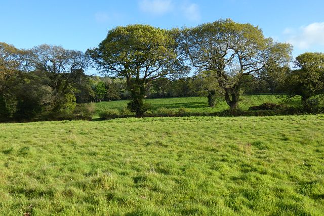
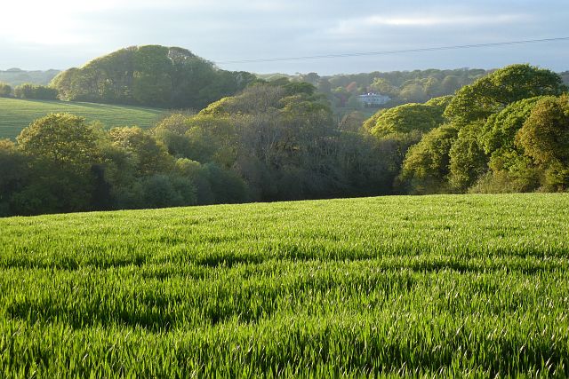
The Grove is a lush and verdant woodland located in Cornwall, England. Covering a vast expanse of land, the Grove is home to a diverse range of flora and fauna, making it a popular destination for nature lovers and hikers alike. The forest is characterized by its towering trees, including oak, beech, and chestnut, which provide a canopy of shade over the forest floor. Beneath the trees, a carpet of ferns, mosses, and wildflowers can be found, adding to the enchanting atmosphere of the Grove.

The Grove is also home to a variety of wildlife, including deer, foxes, and birds of prey. Visitors may catch a glimpse of these creatures as they explore the network of winding trails that crisscross the forest. In addition to its natural beauty, the Grove also boasts several picnic areas and viewpoints, where visitors can relax and take in the stunning scenery.

Overall, the Grove is a tranquil and picturesque woodland that offers a peaceful escape from the hustle and bustle of everyday life. Its beauty and biodiversity make it a must-visit destination for anyone seeking a connection with the natural world.

If you have any feedback on the listing, please let us know in the comments section below.
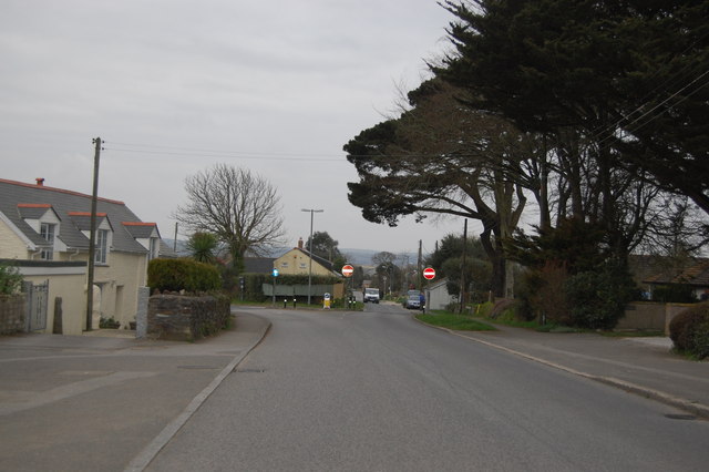
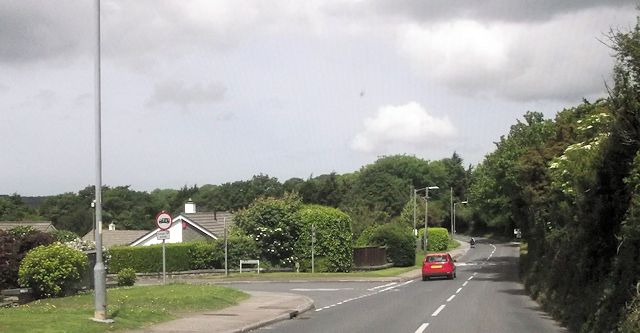
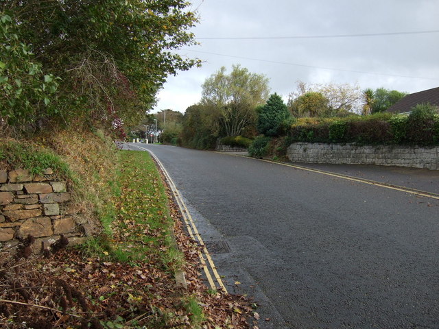
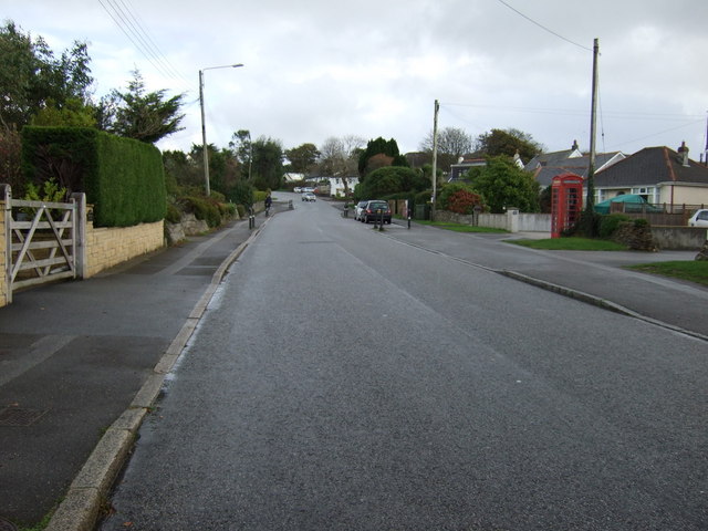
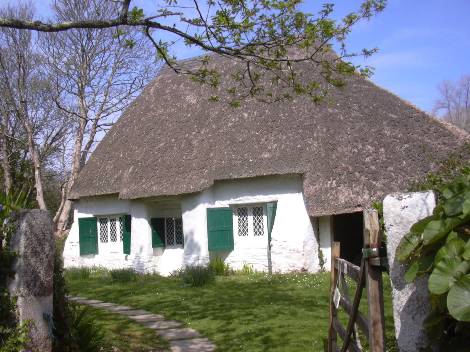
The Grove Images

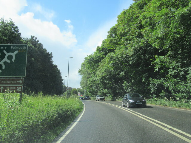
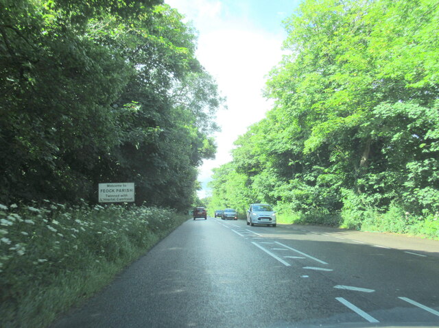
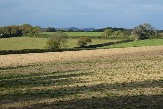
Images are sourced within 2km of 50.235697/-5.0748012 or Grid Reference SW8041. Thanks to Geograph Open Source API. All images are credited.

No entry in Carnon Downs
A39 is crossed by a footbridge
Railway Bridge
Railway Bridge
Country Lane
Country Lane
Railway Bridge
Railway Bridge
Road junction, Chyreen Lane
Bend approaching Garden centre
Minor road into Carnon Downs Heading north east.
Minor road into Carnon Downs
Heading north east.
Forth Coth, Carnon Downs Heading north east.
Forth Coth, Carnon Downs
Heading north east.
Footpath and grassland, Feock On the approach to Killiganoon Farm.
Footpath and grassland, Feock
On the approach to Killiganoon Farm.
Disused railway bridge over the A39 Truro
The A39 at Playing Place
Welcome to Feock Parish on the A39
Carnon Downs village sign on the A39
Farmland, Kea Beside the road climbing from Penwethers.
Farmland, Kea
Beside the road climbing from Penwethers.
Farmland, Kea Part of the former golf course at Killiow, now used agriculturally.
Farmland, Kea
Part of the former golf course at Killiow, now used agriculturally.
Pasture, Kea The hillside to the east of the A39.
Pasture, Kea
The hillside to the east of the A39.
Farmland, Kea Killiow House is glimpsed over fields of wheat to the north of Chyreen Lane.
Farmland, Kea
Killiow House is glimpsed over fields of wheat to the north of Chyreen Lane.
Show me another place!

The Grove is located at Grid Ref: SW8041 (Lat: 50.235697, Lng: -5.0748012)

Unitary Authority: Cornwall

Police Authority: Devon and Cornwall

What 3 Words

///chucked.loft.powder. Near Truro, Cornwall

Related Wikis

Playing Place

Playing Place is a village southwest of Truro in Cornwall, England, UK. It is to the east of the A39 road. The name derives from Cornish 'plain an gwarry...

Kea, Cornwall

Kea ( KEE; Cornish: Sen Ke) is a civil parish and village in Cornwall, England, United Kingdom. It is a "large straggling parish" in a former mining...

Richard Lander School

Richard Lander School is a coeducational secondary school located in Truro, Cornwall, England. It is named after Richard Lemon Lander.It is a community...

Come-to-Good

Come-to-Good is a small settlement in Cornwall, England, United Kingdom. It consists of a farm, seven residential houses and a Quaker Meeting House, built...

Nearby Amenities

Located within 500m of 50.235697,-5.0748012
Post Box
Brand: Royal Mail
Brand Wikidata: Q638098
Collection Times: Mo-Fr 09:00; Sa 07:00; Su off
Drive Through: no
Operator: Royal Mail
Operator Wikidata: Q638098
Post Box Design: type_b
Post Box Mounting: brick_pillar
Post Box Type: wall
Ref: TR3 169D
Royal Cypher: GVIR
Royal Cypher Wikidata: Q33102169
Source: survey;aerial imagery
Lat/Long: 50.2345089/-5.0692318
Bus Stop
Post Office
Bus: yes
Naptan AtcoCode: 0800COC30065
Naptan Bearing: W
Naptan CommonName: Post Office
Naptan Crossing: Holywell Road
Naptan Indicator: W-bound
Naptan NaptanCode: corawdma
Naptan PlusbusZoneRef: TRURO
Naptan Street: Old Coach Road
Naptan Verified: no
Public Transport: platform
Shelter: yes
Source: naptan_import
Lat/Long: 50.2327104/-5.070657
Bus Stop
Bus Shelter
Bench: yes
Bus: yes
Naptan AtcoCode: 0800COC30089
Naptan Bearing: SW
Naptan CommonName: Bus Shelter
Naptan Indicator: SW-bound
Naptan NaptanCode: corawdjw
Naptan PlusbusZoneRef: TRURO
Naptan Street: Old Coach Road
Naptan Verified: no
Public Transport: platform
Shelter: yes
Source: naptan;bing
Lat/Long: 50.2325238/-5.0711639
Post Office
Playing Place Post Office
Addr City: Truro
Addr Postcode: TR3 6EP
Addr Street: Holywell Road
Addr Village: Playing Place
Brand: Post Office
Brand Wikidata: Q1783168
Contact Website: https://www.postoffice.co.uk/branch-finder/1735551/playing-place
Opening Hours: Mo-Su 08:00-20:00
Operator: Spar
Ref Pol Id: 4764
Source: OS OpenData StreetView;pol_branch_list_2022‑05‑27
Lat/Long: 50.2325613/-5.0702057
Crossing
Lat/Long: 50.2318949/-5.0722378
Leisure: playground
Lat/Long: 50.2341844/-5.0702006
Playing Place
Name Kw: Plen an Gwari
Place: village
Wikidata: Q13130786
Lat/Long: 50.234157/-5.0685226
Traffic Calming: cushion
Lat/Long: 50.2362/-5.0680498
Traffic Calming: chicane
Lat/Long: 50.2340825/-5.0697079
Crossing
Lat/Long: 50.2318444/-5.0722819
Post Box
Brand: Royal Mail
Brand Wikidata: Q638098
Collection Times: Mo-Fr 17:15; Sa 12:30; Su off
Drive Through: no
Operator: Royal Mail
Operator Wikidata: Q638098
Post Box Design: type_k
Post Box Type: pillar
Ref: TR3 231
Royal Cypher: EIIR
Royal Cypher Wikidata: Q33102113
Source: survey;streetlevel imagery;aerial imagery
Lat/Long: 50.2326408/-5.0702077
The data included in this document is from www.openstreetmap.org. The data is made available under ODbL.

Have you been to The Grove?

Leave your review of The Grove below (or comments, questions and feedback).