Big Wood
Wood, Forest in Cornwall
England
Big Wood
The requested URL returned error: 429 Too Many Requests
If you have any feedback on the listing, please let us know in the comments section below.
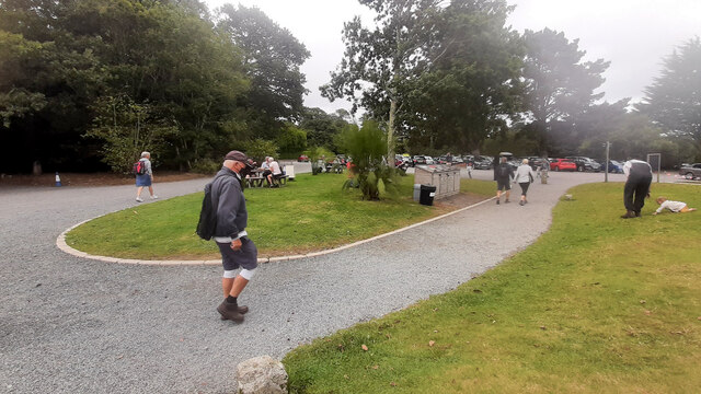
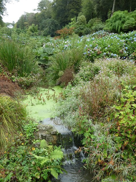
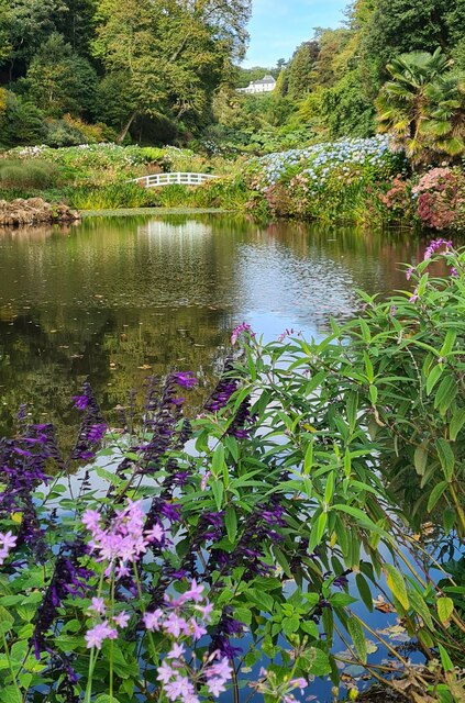
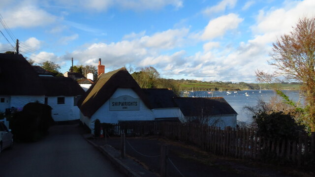
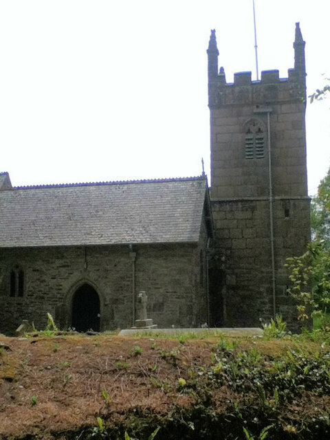
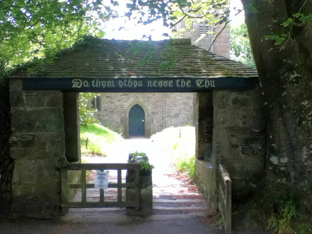
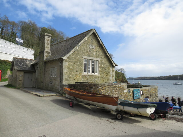
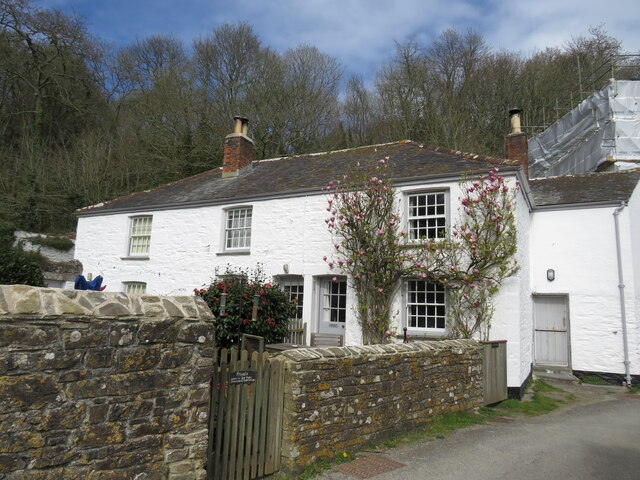
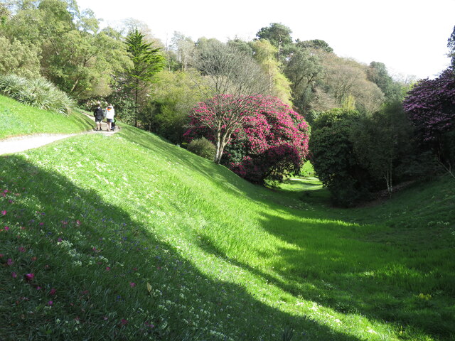
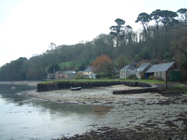
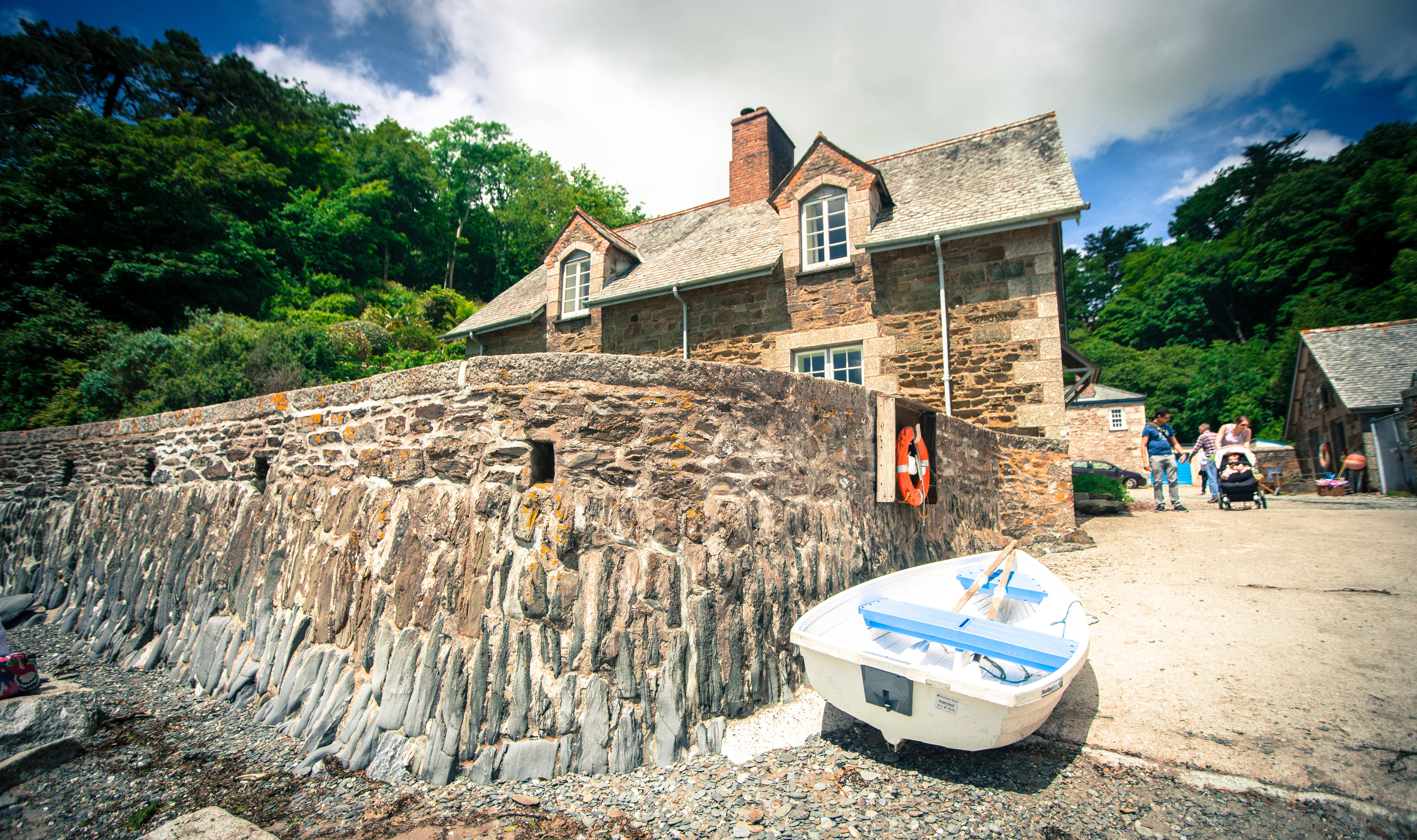
Big Wood Images
Images are sourced within 2km of 50.092836/-5.1145268 or Grid Reference SW7726. Thanks to Geograph Open Source API. All images are credited.


Big Wood is located at Grid Ref: SW7726 (Lat: 50.092836, Lng: -5.1145268)
Unitary Authority: Cornwall
Police Authority: Devon and Cornwall
What 3 Words
///nibbles.mermaids.education. Near Falmouth, Cornwall
Nearby Locations
Related Wikis

St Anthony-in-Meneage
St Anthony-in-Meneage (Cornish: Lannentenin) is a coastal civil parish and village in Cornwall, England, United Kingdom. The parish is in the Meneage district...
Treath
Treath is a hamlet east of Helford, Cornwall, England, United Kingdom. Made 1200 == References ==

Carne, Cornwall
Carne is a hamlet in the civil parish of St Anthony-in-Meneage, Cornwall, England, UK. Carne lies on the south side of Gillan Creek at around 30 feet...
Durgan
Durgan (Cornish: Dowrgeun, meaning otters) is a hamlet in the parish of Mawnan, south Cornwall, England, United Kingdom. It is beside the Helford River...
Nearby Amenities
Located within 500m of 50.092836,-5.1145268Have you been to Big Wood?
Leave your review of Big Wood below (or comments, questions and feedback).