Amotherby
Settlement in Yorkshire Ryedale
England
Amotherby

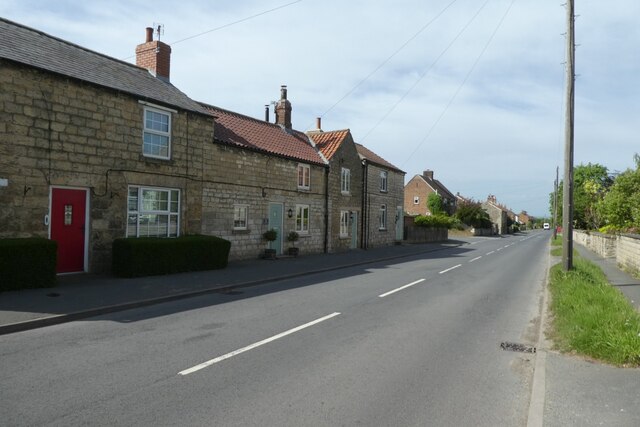
Amotherby is a picturesque village located in the county of Yorkshire, England. Situated just 3 miles east of the market town of Malton, it is nestled amidst the stunning scenery of the Howardian Hills Area of Outstanding Natural Beauty. With a population of around 300 residents, Amotherby offers a tranquil and close-knit community atmosphere.
The village is known for its charming architecture, featuring a mix of traditional stone cottages and modern houses. The well-maintained streets are lined with vibrant floral displays during the summer months, enhancing the village's visual appeal. The surrounding countryside provides ample opportunities for outdoor activities, such as walking, cycling, and horse riding, with numerous scenic trails to explore.
Amotherby boasts a strong sense of community spirit, with various local groups and organizations offering a range of activities and events throughout the year. The village has a primary school, providing education for children in the area, and a village hall that serves as a hub for community gatherings.
For essential amenities, residents can visit the nearby town of Malton, which offers a wider range of shops, supermarkets, and services. Malton is also renowned for its weekly market, where locals and visitors can purchase fresh produce, artisanal goods, and crafts.
Overall, Amotherby offers a peaceful and idyllic setting for those seeking a rural lifestyle while still being within easy reach of larger towns and cities. Its natural beauty, strong community spirit, and convenient location make it an attractive place to live or visit in Yorkshire.
If you have any feedback on the listing, please let us know in the comments section below.
Amotherby Images
Images are sourced within 2km of 54.151359/-0.853708 or Grid Reference SE7473. Thanks to Geograph Open Source API. All images are credited.


Amotherby is located at Grid Ref: SE7473 (Lat: 54.151359, Lng: -0.853708)
Division: North Riding
Administrative County: North Yorkshire
District: Ryedale
Police Authority: North Yorkshire
What 3 Words
///recital.forgiving.hooked. Near Malton, North Yorkshire
Related Wikis

Amotherby
Amotherby is a village and civil parish in North Yorkshire, England. It is about 3 miles (4.8 km) west of Malton. == Description == The village appears...
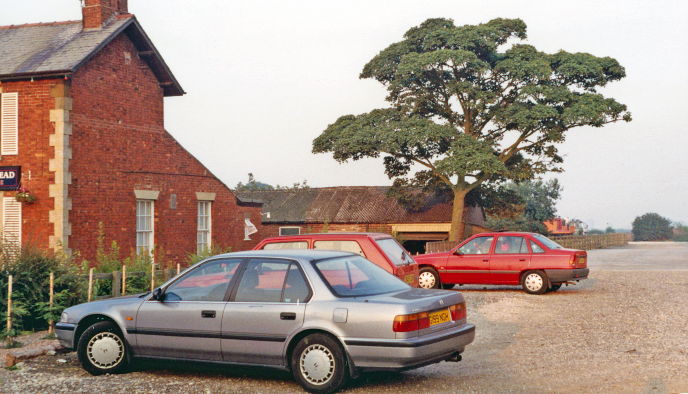
Amotherby railway station
Amotherby railway station served the village of Amotherby in the Northern English county of North Yorkshire. It was located on a local line which ran...

Swinton, Ryedale
Swinton is a village and civil parish in North Yorkshire, England. It is about 2 miles (3.2 km) west of Malton on the B1257 road, and is on the edge of...

Appleton-le-Street with Easthorpe
Appleton-le-Street with Easthorpe is a civil parish in North Yorkshire, England, consisting of Appleton-le-Street and Easthorpe. The parish contained the...

Appleton-le-Street
Appleton-le-Street is a small village and in the Ryedale district of North Yorkshire, England. It is approximately 3 miles (5 km) west of Malton and in...

Broughton, Ryedale
Broughton is a village and civil parish in North Yorkshire, England. Broughton is situated 1.5 miles (2.4 km) north-west of Malton. According to the 2011...
Easthorpe, North Yorkshire
Easthorpe is a village in North Yorkshire, England. It is part of the Appleton-le-Street with Easthorpe parish.
Hildenley
Hildenley is a former civil parish 2 miles (3.2 km) south-west of Malton, North Yorkshire, England, on the north bank of the River Derwent. In 1961 the...
Nearby Amenities
Located within 500m of 54.151359,-0.853708Have you been to Amotherby?
Leave your review of Amotherby below (or comments, questions and feedback).