Bold Gate Plantation

Wood, Forest in Cornwall

England

Bold Gate Plantation

St Crewenna's Church
St Crewenna's Church Credit: Paul Barnett

The requested URL returned error: 429 Too Many Requests

If you have any feedback on the listing, please let us know in the comments section below.

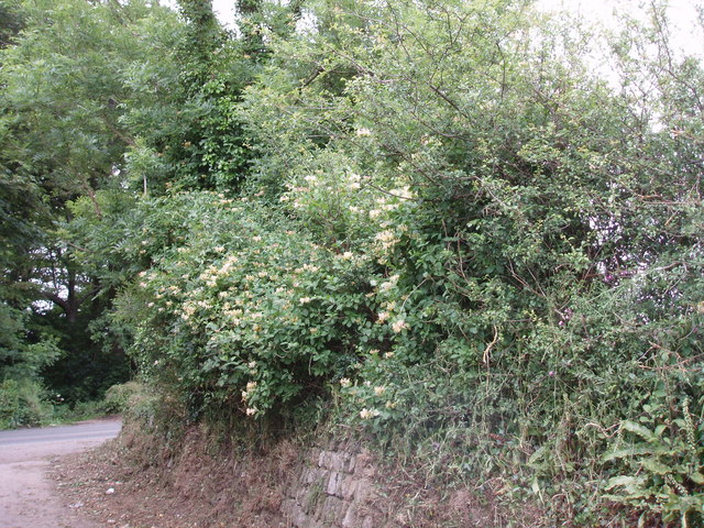
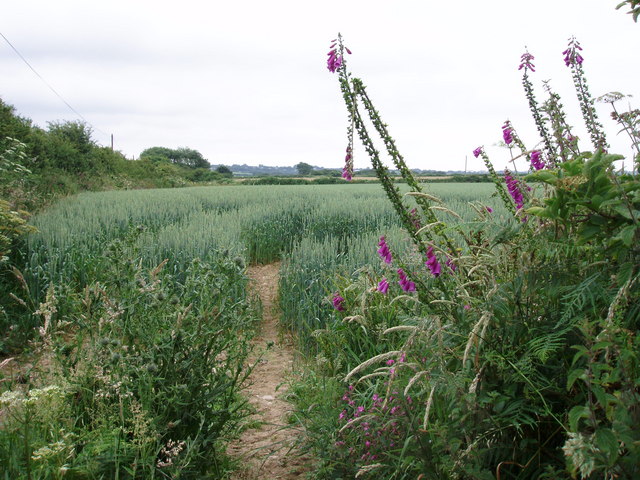
Bold Gate Plantation Images

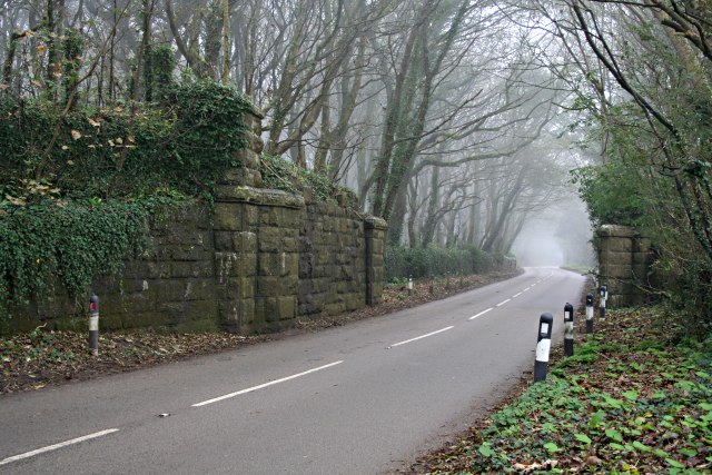
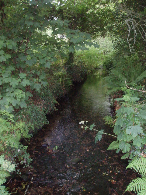
Images are sourced within 2km of 50.170275/-5.323595 or Grid Reference SW6235. Thanks to Geograph Open Source API. All images are credited.

St Crewenna's Church
The Old Chapel
The Old Chapel
Former Wesleyan Chapel
Chapel Court
Chapel Court
Bus on the B3303 near Crenver Grove First Kernow 37008 (WX55 VHT) Volvo B7TL/Wright Eclipse Gemini double-decker bus on the B3303 south of Praze-an-Beeble.
Bus on the B3303 near Crenver Grove
First Kernow 37008 (WX55 VHT) Volvo B7TL/Wright Eclipse Gemini double-decker bus on the B3303 south of Praze-an-Beeble.
House on the Corner B3033 near Gernick.
House on the Corner
B3033 near Gernick.
Praze-an-Beeble, Fore Street Praze an Beeble (Cornish: Pras an Bibel), sometimes shortened to Praze, is a village that lies between the nearby towns of Camborne (2.5 miles) and Helston (7 miles).
Praze-an-Beeble, Fore Street
Praze an Beeble (Cornish: Pras an Bibel), sometimes shortened to Praze, is a village that lies between the nearby towns of Camborne (2.5 miles) and Helston (7 miles).
Clowance Estate at Praze-an-Beeble A Time-share estate just south of Camborne.
Clowance Estate at Praze-an-Beeble
A Time-share estate just south of Camborne.
Lane to Gew Farm
Lane to Gew Farm
An unexpected ford The path appears to cross the small stream.
An unexpected ford
The path appears to cross the small stream.
Fortunately there's a bridge On the path to Little Borthog.
Fortunately there's a bridge
On the path to Little Borthog.
Free range A cockerel and hens in the farmyard at Little Borthog.
Free range
A cockerel and hens in the farmyard at Little Borthog.
Gate at Little Borthog
Remains of old railway bridge The railway, now disused, crossed the road at an angle.
Remains of old railway bridge
The railway, now disused, crossed the road at an angle.
Centre of Praze Praze has long connections with the St Aubyn family, whose main residence was once at Clowance. The other pub in the village is called St Michael's Mount.
Centre of Praze
Praze has long connections with the St Aubyn family, whose main residence was once at Clowance. The other pub in the village is called St Michael's Mount.
Looking towards Clowance woods From the lane to Tregear. Clowance estate is now a time share resort.
Looking towards Clowance woods
From the lane to Tregear. Clowance estate is now a time share resort.
Honeysuckle near Tregear
Wheatfield near Gear Looking towards Parbola Farm.
Wheatfield near Gear
Looking towards Parbola Farm.
Show me another place!

Bold Gate Plantation is located at Grid Ref: SW6235 (Lat: 50.170275, Lng: -5.323595)

Unitary Authority: Cornwall

Police Authority: Devon and Cornwall

What 3 Words

///owned.nuzzling.guests. Near Camborne, Cornwall

Related Wikis

Praze-An-Beeble

Praze an Beeble (Cornish: Pras an Bibel), sometimes shortened to Praze, is a village in Cornwall, England. It lies between the nearby towns of Camborne...

Praze railway station

Praze railway station was built to the south of the village of Praze-An-Beeble, Cornwall, England, at an elevation of 360 feet (110 m). It was an intermediate...

Horsedowns

Horsedowns (or Horse Downs) is a hamlet east of Leedstown, south of Praze-an-Beeble and in the civil parish of Crowan, in West Cornwall, England.The hamlet...

Clowance Wood

Clowance Wood is a hamlet in the civil parish of Crowan (where the 2011 census population was included ) in west Cornwall, England. Clowance Wood is situated...

Nearby Amenities

Located within 500m of 50.170275,-5.323595
Barrier: cattle_grid
Lat/Long: 50.1683301/-5.3209132
Barrier: entrance
Lat/Long: 50.1718811/-5.3288683
Information: guidepost
Tourism: information
Lat/Long: 50.1682898/-5.3208073
Information: guidepost
Tourism: information
Lat/Long: 50.1683048/-5.3208137
Information: guidepost
Tourism: information
Lat/Long: 50.1667912/-5.3249259
Information: guidepost
Tourism: information
Lat/Long: 50.1666318/-5.3242868
Barrier: cattle_grid
Lat/Long: 50.166654/-5.3242562
Barrier: cattle_grid
Lat/Long: 50.1703191/-5.3281036
Power: pole
Source: bing
Lat/Long: 50.1737597/-5.327649
Power: pole
Source: bing
Lat/Long: 50.1739805/-5.3267471
Power: pole
Source: bing
Lat/Long: 50.1740303/-5.3267531
Power: pole
Source: bing
Lat/Long: 50.1736644/-5.325868
Power: pole
Source: bing
Lat/Long: 50.1732465/-5.3248145
Power: pole
Source: bing
Lat/Long: 50.1728114/-5.3237182
Power: pole
Source: bing
Lat/Long: 50.1723717/-5.3226198
Power: pole
Source: bing
Lat/Long: 50.1720895/-5.3212935
Location Transition: yes
Power: pole
Source: bing
Transformer: distribution
Lat/Long: 50.1718851/-5.3202139
The data included in this document is from www.openstreetmap.org. The data is made available under ODbL.

Have you been to Bold Gate Plantation?

Leave your review of Bold Gate Plantation below (or comments, questions and feedback).