Nancemellin Plantation

Wood, Forest in Cornwall

England

Nancemellin Plantation

Horsepool Road Scattered housing near this road junction to the east of Connor Downs.
Horsepool Road Credit: Tony Atkin

The requested URL returned error: 429 Too Many Requests

If you have any feedback on the listing, please let us know in the comments section below.

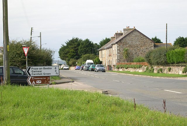
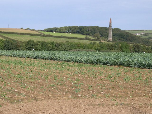
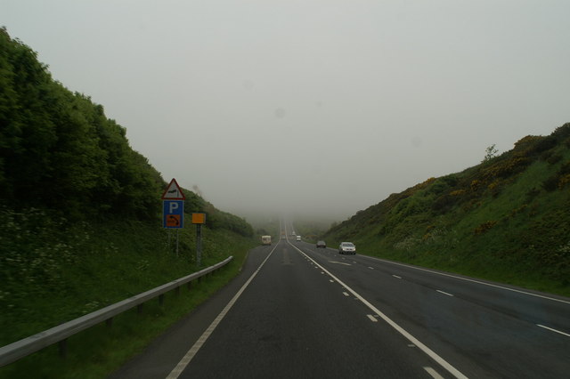
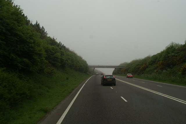
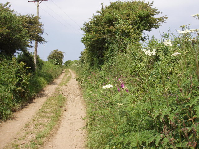
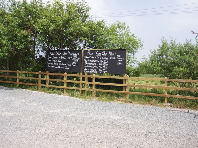
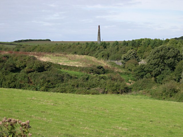
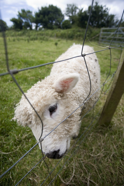
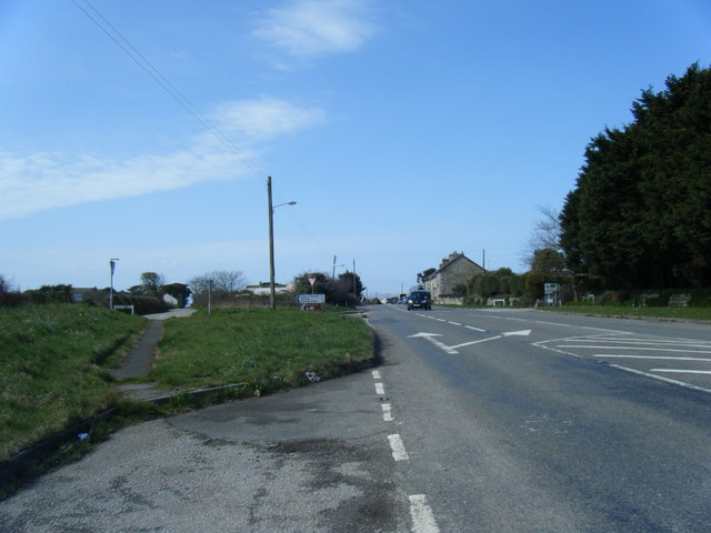
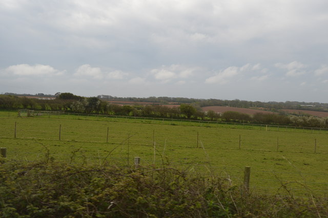
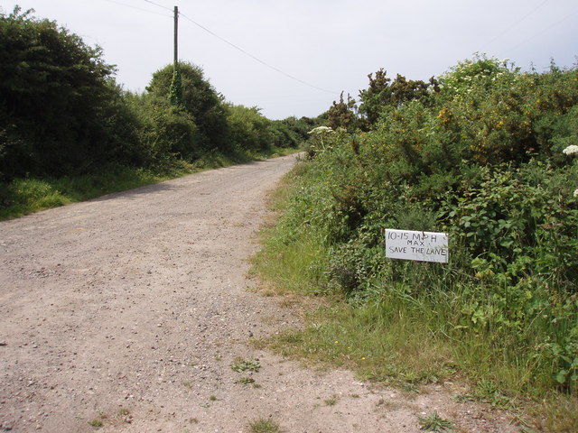
Nancemellin Plantation Images

Images are sourced within 2km of 50.214126/-5.3544448 or Grid Reference SW6040. Thanks to Geograph Open Source API. All images are credited.

Horsepool Road Scattered housing near this road junction to the east of Connor Downs.
Horsepool Road
Scattered housing near this road junction to the east of Connor Downs.
Roseworthy Valley Pampas Grasses in a private garden and pasture land.
Roseworthy Valley
Pampas Grasses in a private garden and pasture land.
Cabbage Field Cabbages (or some other brassica), some newly planted, growing in a mixed agricultural environment.  The chimney in the distance is in the adjacent grid square to the north at SW607400.
Cabbage Field
Cabbages (or some other brassica), some newly planted, growing in a mixed agricultural environment. The chimney in the distance is in the adjacent grid square to the north at SW607400.
Roseworthy A hamlet with just a few houses in the valley bottom.
Roseworthy
A hamlet with just a few houses in the valley bottom.
Traps for the unwary Man-made and natural on the drop into Roseworthy on the new A30
Traps for the unwary
Man-made and natural on the drop into Roseworthy on the new A30
The Gwithian Road bridge over the A30
Lane near Trenowin
Lane near Trenowin
Pick your own Trevaskis Farm shop
Pick your own
Trevaskis Farm shop
Boggy Valley Bottom Looking towards Roseworthy where the valley narrows and the old road crosses the valley bottom avoiding this very wet flat land.
Boggy Valley Bottom
Looking towards Roseworthy where the valley narrows and the old road crosses the valley bottom avoiding this very wet flat land.
Towards the new A30 This photo looks into the northwest corner of this grid square from the B road which used to be the main A30 to the tree-lined cutting of the new A30.  Just beyond this grid square is an old mine engine chimney.
Towards the new A30
This photo looks into the northwest corner of this grid square from the B road which used to be the main A30 to the tree-lined cutting of the new A30. Just beyond this grid square is an old mine engine chimney.
Trevaskis Lamb A lamb on Trevaskis Farm near Connor Downs. The farm runs a very popular restaurant and farm shop along with some seasonal 'pick your own'
Trevaskis Lamb
A lamb on Trevaskis Farm near Connor Downs. The farm runs a very popular restaurant and farm shop along with some seasonal 'pick your own'
Roseworthy Hill, the old A30
Horsepool Road
Horsepool Road
Gwinear Road Station (remains) View westward, towards Penzance; ex-Great Western Plymouth - Penzance main line, former junction of branch from Helston (behind camera). The station closed to passengers when the Helston line was closed - in spite of the importance of Helston - on 5/10/64, but not to goods until 9/8/65. (This looks as if it could have been my Last Photograph - ever!)
Gwinear Road Station (remains)
View westward, towards Penzance; ex-Great Western Plymouth - Penzance main line, former junction of branch from Helston (behind camera). The station closed to passengers when the Helston line was closed - in spite of the importance of Helston - on 5/10/64, but not to goods until 9/8/65. (This looks as if it could have been my Last Photograph - ever!)
Sheep grazing
Sheep grazing
Sheep grazing
Sheep grazing
Grazing land
Grazing land
Farmland, Trevaskis
Farmland, Trevaskis
Show me another place!

Nancemellin Plantation is located at Grid Ref: SW6040 (Lat: 50.214126, Lng: -5.3544448)

Unitary Authority: Cornwall

Police Authority: Devon and Cornwall

What 3 Words

///realm.glad.uniforms. Near Camborne, Cornwall

Nearby Locations

Nancemellin Plantation

Related Wikis

Nancemellin

Nancemellin is a hamlet in the parish of Gwinear-Gwithian, Cornwall, England. == References ==

Roseworthy, Cornwall

Roseworthy (Cornish: Rosworghi) is a hamlet on the A30 trunk road in the parish of Gwinear-Gwithian in Cornwall, England, UK. Roseworthy Barton is a farm...

Menadarva

Menadarva (Cornish: Merther Derwa, meaning grave of St Derwa) is a hamlet in the parish of Camborne, Cornwall, England, UK. The Red River flows through...

Kehelland

Kehelland (Cornish: Kellihellan) is a hamlet northwest of Camborne in west Cornwall, England. == References ==

Nearby Amenities

Located within 500m of 50.214126,-5.3544448
Power: tower
Source: bing
Lat/Long: 50.2176086/-5.3570482
Power: tower
Source: bing
Lat/Long: 50.2171833/-5.358602
Power: pole
Lat/Long: 50.2122722/-5.3562668
Power: pole
Lat/Long: 50.2111891/-5.3594881
Power: pole
Lat/Long: 50.2133758/-5.3530039
Power: pole
Lat/Long: 50.2141319/-5.3482269
Man Made: tower
Lat/Long: 50.2121649/-5.3543866
The data included in this document is from www.openstreetmap.org. The data is made available under ODbL.

Have you been to Nancemellin Plantation?

Leave your review of Nancemellin Plantation below (or comments, questions and feedback).