Windyhill Wood
Wood, Forest in Clackmannanshire
Scotland
Windyhill Wood
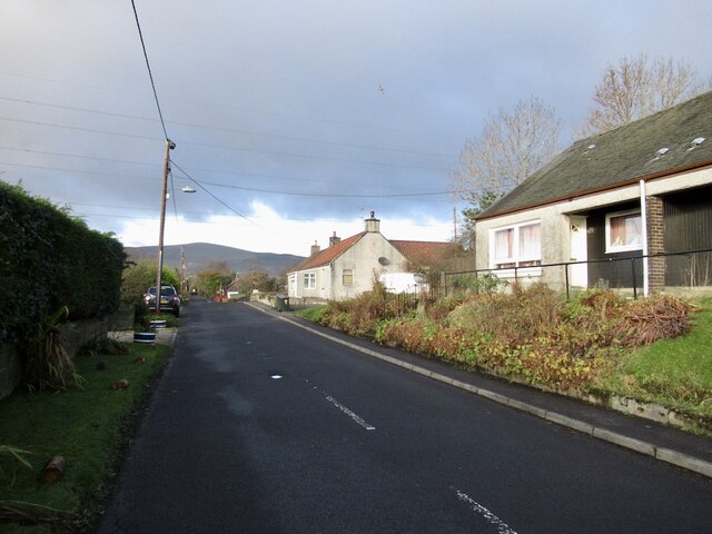
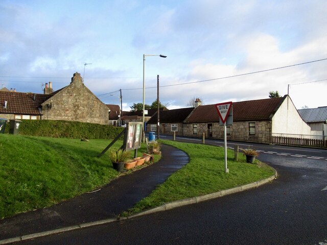
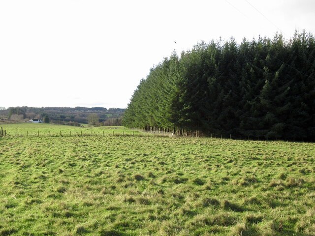
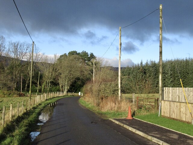
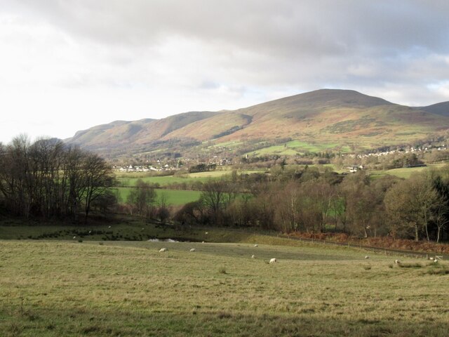
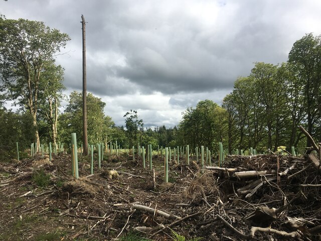
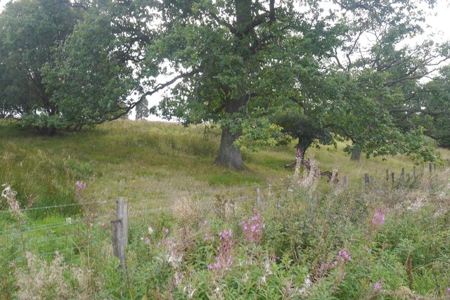
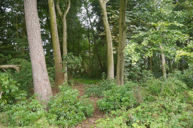
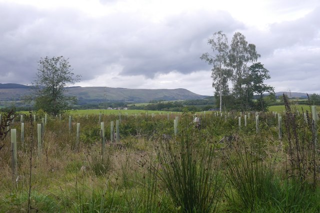
Windyhill Wood, located in Clackmannanshire, Scotland, is a picturesque forest known for its natural beauty and tranquil atmosphere. Spanning approximately 50 acres, this wood offers a diverse range of habitats, including ancient woodlands, open meadows, and wetland areas.
The wood is primarily composed of broadleaf trees, such as oak, birch, and beech, which provide a rich habitat for various flora and fauna. The forest floor is adorned with a carpet of bluebells in spring, creating a colorful spectacle for visitors. Additionally, the wood is home to a variety of bird species, including woodpeckers, owls, and various songbirds, making it a haven for birdwatchers.
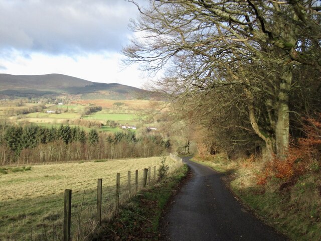
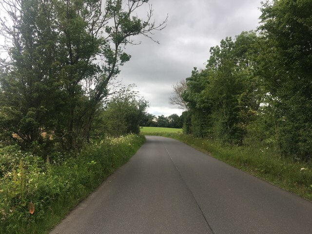
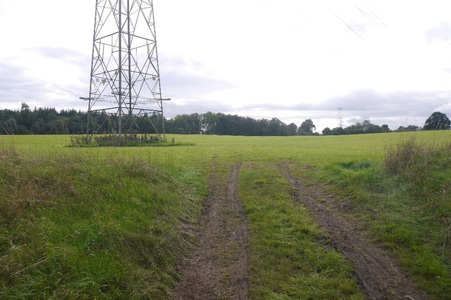
Trails wind through the wood, offering visitors the opportunity to explore its wonders. These paths are well-maintained and suitable for both walkers and cyclists, ensuring accessibility for all. Along the way, benches and picnic spots are conveniently placed, providing a chance to rest and take in the peaceful surroundings.
Windyhill Wood is not only a haven for wildlife but also a popular destination for outdoor enthusiasts. It offers recreational activities such as nature walks, photography, and even orienteering. The wood is also known for its educational value, with guided tours and workshops available for schools and community groups.
Managed by the local authority, Windyhill Wood is well-preserved, with efforts made to maintain its natural integrity and protect its biodiversity. It is a cherished local resource, providing a serene retreat for those seeking solace in nature's embrace.
If you have any feedback on the listing, please let us know in the comments section below.
Windyhill Wood Images
Images are sourced within 2km of 56.142719/-3.6456948 or Grid Reference NS9795. Thanks to Geograph Open Source API. All images are credited.


Windyhill Wood is located at Grid Ref: NS9795 (Lat: 56.142719, Lng: -3.6456948)
Unitary Authority: Clackmannanshire
Police Authority: Forth Valley
Also known as: Harrylayock Wood
What 3 Words
///slept.mock.scarves. Near Dollar, Clackmannanshire
Nearby Locations
Related Wikis

Blairingone
Blairingone is a village in Perth and Kinross, Scotland. It lies on the A977 road at its intersection with Vicar's Bridge Road near the extreme south-westerly...

Devon Way
Devon Way is a pathway in Clackmannanshire, Central Scotland. It lies on the southern section of the former Devon Valley Railway from Dollar to Tillicoultry...

Dollar railway station
Dollar railway station served the village of Dollar, Clackmannanshire, Scotland from 1869 to 1964 on the Devon Valley Railway. == History == The station...

Dollar, Clackmannanshire
Dollar (Scottish Gaelic: Dolair) is a small town with a population of 2,800 people in Clackmannanshire, Scotland. It is 12 miles (19 kilometres) east of...

Dollar Glen
Dollar Glen is a small glen (valley) owned by the National Trust for Scotland. It is located in the Ochils that dramatically mark the Highland fault. It...

Forestmill
Forestmill (or Forest Mill) is a small hamlet in the county of Clackmannanshire, Scotland. It is situated on the A977 road between Kincardine and Kinross...
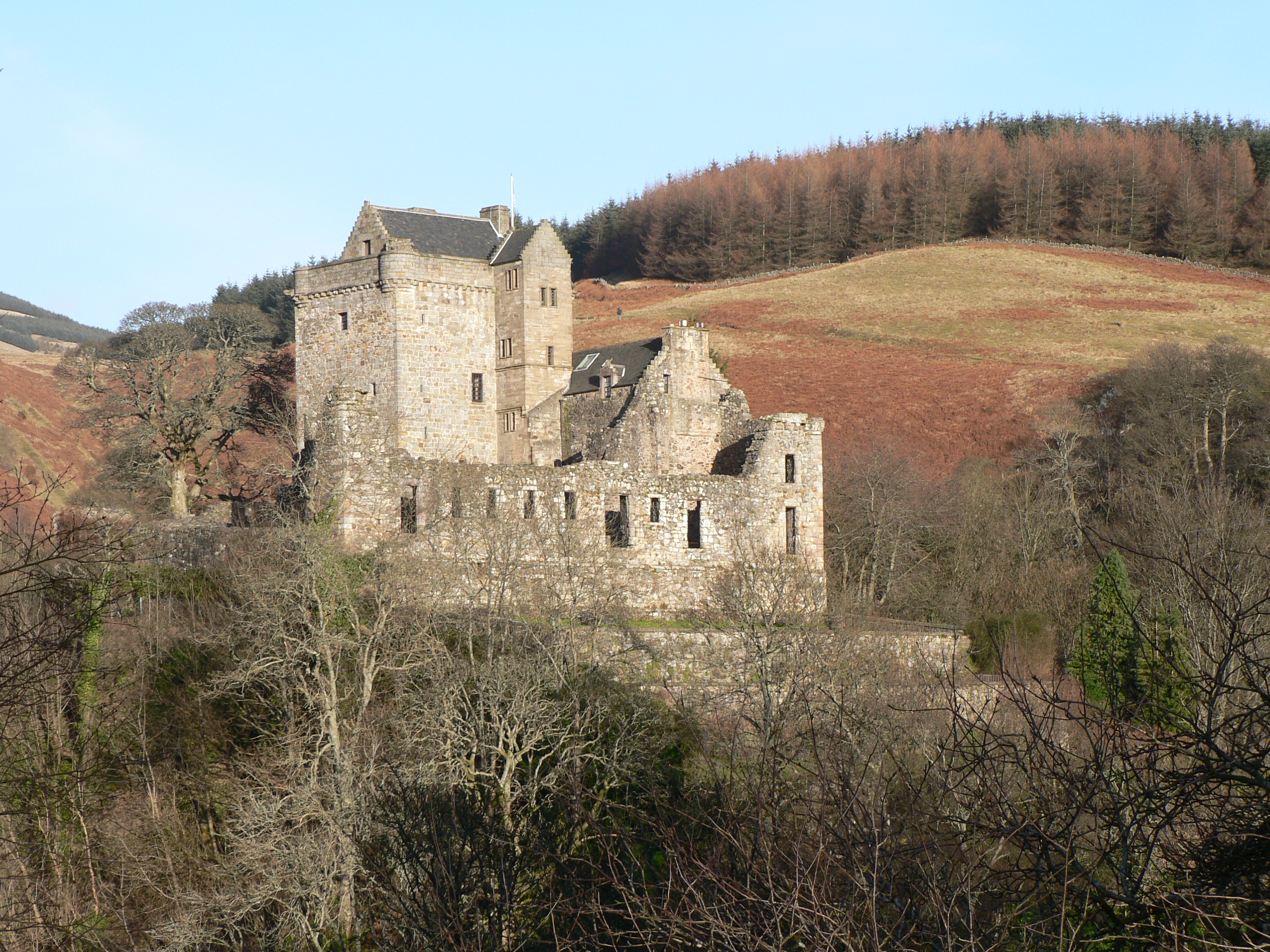
Castle Campbell
Castle Campbell is a medieval castle situated above the town of Dollar, Clackmannanshire, in central Scotland. It was the lowland seat of the earls and...

Cauldron Linn (River Devon)
Cauldron Linn, or Caldron Linn, is a waterfall on the River Devon on the border between Clackmannanshire and Perth and Kinross in Scotland. == Location... ==
Nearby Amenities
Located within 500m of 56.142719,-3.6456948Have you been to Windyhill Wood?
Leave your review of Windyhill Wood below (or comments, questions and feedback).