Blackhill Wood

Wood, Forest in Aberdeenshire

Scotland

Blackhill Wood

Hill of Dens Farm Farming dominates this thinly populated part of Aberdeenshire.
Hill of Dens Farm Credit: Bill Harrison

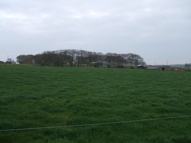
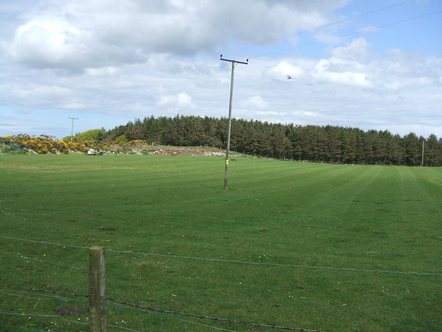
Blackhill Wood is a picturesque forest located in Aberdeenshire, Scotland. It spans an area of approximately 100 acres and is known for its natural beauty and diverse wildlife.

The wood is predominantly composed of native tree species, such as oak, birch, and pine, which create a dense canopy that provides shade and shelter to the various creatures that call the forest home. The forest floor is covered in a thick carpet of moss and ferns, creating a lush and vibrant undergrowth.

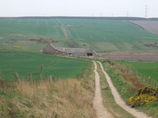
Blackhill Wood is a popular destination for nature enthusiasts and hikers, offering numerous walking trails that wind through the forest. These trails provide visitors with the opportunity to immerse themselves in the tranquillity of the woods and enjoy the sights and sounds of nature.

The forest is also home to a wide variety of wildlife. Birdwatchers can spot numerous species of birds, including woodpeckers, owls, and various songbirds. Mammals such as red squirrels, foxes, and deer also inhabit the wood, adding to its natural charm.

Blackhill Wood is not only a haven for wildlife but also serves as an important conservation area. It is part of a larger network of protected woodlands in the region, ensuring the long-term preservation of this natural habitat.

Overall, Blackhill Wood is a stunning forest that offers visitors a chance to connect with nature and experience the beauty of Aberdeenshire's countryside.

If you have any feedback on the listing, please let us know in the comments section below.

Blackhill Wood Images

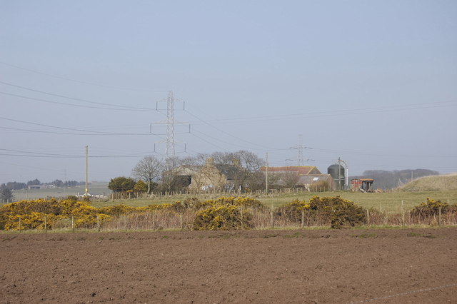
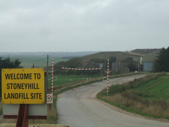
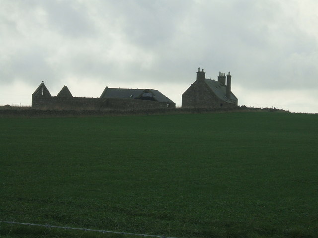
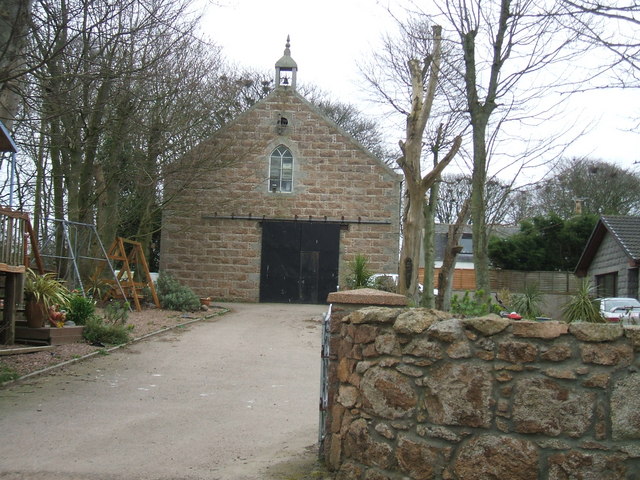
Images are sourced within 2km of 57.47092/-1.8476849 or Grid Reference NK0942. Thanks to Geograph Open Source API. All images are credited.

Hill of Dens Farm Farming dominates this thinly populated part of Aberdeenshire.
Hill of Dens Farm
Farming dominates this thinly populated part of Aberdeenshire.
Pylons from Peterhead Power Station the march of the pylons taking the 'juice' to the national grid. Power Station chimney in centre of photo
Pylons from Peterhead Power Station
the march of the pylons taking the 'juice' to the national grid. Power Station chimney in centre of photo
disused Cottar Houses, North Collielaw Tied cottage to 2 families of 'Farm Servants' as the farm labourers were known.
disused Cottar Houses, North Collielaw
Tied cottage to 2 families of 'Farm Servants' as the farm labourers were known.
Newfield Reservoir a mile south of Peterhead
Newfield Reservoir
a mile south of Peterhead
Entrance to Stoneyhill Landfill site old quarry now used as a major landfill and waste management site.Controversially waste is transported over 100 miles from Highland Region to be disposed of here
Entrance to Stoneyhill Landfill site
old quarry now used as a major landfill and waste management site.Controversially waste is transported over 100 miles from Highland Region to be disposed of here
Cowhills farmhouse and steading eerily abandoned unit after farmland absorbed into either neighbouring Newfield or Springhill farms
Cowhills farmhouse and steading
eerily abandoned unit after farmland absorbed into either neighbouring Newfield or Springhill farms
Burnhead Farm, Gask typical Aberdeenshire farm buildings and house
Burnhead Farm, Gask
typical Aberdeenshire farm buildings and house
Colliehill Farm Curious archway formed by two trees
Colliehill Farm
Curious archway formed by two trees
view from Colliehill
Converted Church near Blackhills A very plain building if it ever was a church - but too elaborate to simply be a barn, store or stable.
Converted Church near Blackhills
A very plain building if it ever was a church - but too elaborate to simply be a barn, store or stable.
View to Blackhills Farm
Long Cairn at Cairncatto from.... <span class="nowrap"><a title="http://www.aberdeenshire.gov.uk/archaeology/smr/smr_recdetails.asp?Rno=NK04SE0027&curpage=34&RefNo=&Name=&Mapsheet=&Period=NE&Typ=&Typ2=&Typ3=&Parish=" rel="nofollow ugc noopener" href="http://www.aberdeenshire.gov.uk/archaeology/smr/smr_recdetails.asp?Rno=NK04SE0027&curpage=34&RefNo=&Name=&Mapsheet=&Period=NE&Typ=&Typ2=&Typ3=&Parish=">Link</a><img style="margin-left:2px;" alt="External link" title="External link - shift click to open in new window" src="https://s1.geograph.org.uk/img/external.png" width="10" height="10"/></span>* (link no longer works - updated link <span class="nowrap"><a title="https://online.aberdeenshire.gov.uk/smrpub/master/detail.aspx?refno=NK04SE0027" rel="nofollow ugc noopener" href="https://online.aberdeenshire.gov.uk/smrpub/master/detail.aspx?refno=NK04SE0027">Link</a><img style="margin-left:2px;" alt="External link" title="External link - shift click to open in new window" src="https://s1.geograph.org.uk/img/external.png" width="10" height="10"/></span> ) 

Long cairn; great mound of large stones, some of considerable size. The main axis lies NW-SE with a length of 47.18m. The SE end is larger, measuring 18.28m across & is straight with rounded corners, NE side is well-defined and appears little disturbed. The SW side has been robbed, from near the SE end for about a third of its length. Various deep holes have been made in the SE end by pulling away the stones but no internal structure is to be seen. Two stone axes were found at the cairn in 1885. There may formerly have been cists visible within it.
Long Cairn at Cairncatto
from.... LinkExternal link* (link no longer works - updated link LinkExternal link ) Long cairn; great mound of large stones, some of considerable size. The main axis lies NW-SE with a length of 47.18m. The SE end is larger, measuring 18.28m across & is straight with rounded corners, NE side is well-defined and appears little disturbed. The SW side has been robbed, from near the SE end for about a third of its length. Various deep holes have been made in the SE end by pulling away the stones but no internal structure is to be seen. Two stone axes were found at the cairn in 1885. There may formerly have been cists visible within it.
Stile to Cairncatto room for a joke on Geograph.com...?

Angry landowner....'I say fellow - did you build that wooden step arrangement over my fence?'

Rambler....'Sorry mate - that's just not my stile'
Stile to Cairncatto
room for a joke on Geograph.com...? Angry landowner....'I say fellow - did you build that wooden step arrangement over my fence?' Rambler....'Sorry mate - that's just not my stile'
Croft between Cairncatto and Stoneyhill
Wellsforest Farm
Wellsforest Farm
Field at Wellsforest Farm note prominent landmark of Peterhead Power Station chimney (NK1243)
Field at Wellsforest Farm
note prominent landmark of Peterhead Power Station chimney (NK1243)
Trees at Hill of Longhaven
Military Transmitter Station As the site is unmarked on the Ordnance Survey map, this Geographer is unsure if this image is acceptable to Geograph.org.uk!
Fingers crossed I don't receive a midnight knock from the MOD
Military Transmitter Station
As the site is unmarked on the Ordnance Survey map, this Geographer is unsure if this image is acceptable to Geograph.org.uk! Fingers crossed I don't receive a midnight knock from the MOD
Show me another place!

Blackhill Wood is located at Grid Ref: NK0942 (Lat: 57.47092, Lng: -1.8476849)

Unitary Authority: Aberdeenshire

Police Authority: North East

What 3 Words

///spoke.edgy.relations. Near Boddam, Aberdeenshire

Nearby Locations

Blackhill Wood

Related Wikis

Laeca Burn

Laeca Burn is a stream in northeastern Aberdeenshire, Scotland. There are numerous archaeological sites in the Laeca Burn watershed, "especially on the...
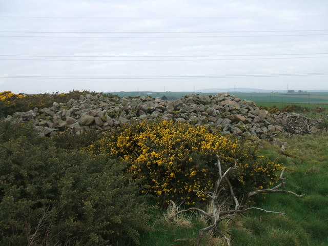
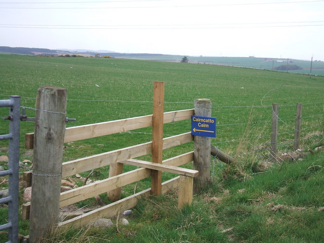
Cairn Catto

Cairn Catto is a Neolithic long cairn near the village of Longside, Aberdeenshire, Scotland. Historic Environment Scotland established the site as a scheduled...

Morris Wells

Morris Wells are a series of natural springs in eastern Aberdeenshire, Scotland. This water source has historically been a water supply for the town of...

RAF Buchan

Royal Air Force Buchan or more simply RAF Buchan is a former Royal Air Force station near Peterhead in Aberdeenshire, Scotland. Buchan opened in 1952 as...

Nearby Amenities

Located within 500m of 57.47092,-1.8476849
Source: OS7
Lat/Long: 57.4747043/-1.8496529
Source: OS7
Lat/Long: 57.4748261/-1.8482099
Source: OS7
Lat/Long: 57.474525/-1.8475747
Design: barrel
Power: tower
Source: OS7
Lat/Long: 57.4753543/-1.8475769
Location Transition: yes
Power: pole
Lat/Long: 57.4686606/-1.8464702
Power: pole
Lat/Long: 57.4698045/-1.8552013
Power: pole
Lat/Long: 57.4697598/-1.8538753
Power: pole
Lat/Long: 57.469677/-1.8551743
Power: pole
Lat/Long: 57.4692009/-1.8550288
Power: pole
Lat/Long: 57.4686756/-1.8548667
Power: pole
Lat/Long: 57.4697117/-1.8526468
Power: pole
Lat/Long: 57.4696558/-1.8513478
Power: pole
Lat/Long: 57.4702571/-1.8541538
Power: pole
Lat/Long: 57.4707623/-1.8544011
Power: pole
Lat/Long: 57.4696055/-1.8502129
Power: pole
Lat/Long: 57.469563/-1.8490635
Power: pole
Lat/Long: 57.4695172/-1.8479161
Power: pole
Lat/Long: 57.4694703/-1.8468041
Power: pole
Lat/Long: 57.4694379/-1.8456859
Power: pole
Lat/Long: 57.4693797/-1.8445864
Power: pole
Lat/Long: 57.4693194/-1.8432249
Power: pole
Lat/Long: 57.4692601/-1.8419508
Power: pole
Lat/Long: 57.4692065/-1.8406787
Power: pole
Lat/Long: 57.472536/-1.8413314
Power: pole
Lat/Long: 57.4720029/-1.8421898
Power: pole
Lat/Long: 57.4715179/-1.8429589
Power: pole
Lat/Long: 57.4709926/-1.8437861
Power: pole
Lat/Long: 57.4704516/-1.8440896
Power: pole
Lat/Long: 57.4699263/-1.8443307
Power: pole
Lat/Long: 57.4673532/-1.8527529
Power: pole
Lat/Long: 57.4677948/-1.8524369
Power: pole
Lat/Long: 57.4682687/-1.8521501
Power: pole
Lat/Long: 57.4687147/-1.8518736
Power: pole
Lat/Long: 57.4690712/-1.851699
Power: pole
Lat/Long: 57.4693652/-1.851539
Power: pole
Lat/Long: 57.4674885/-1.8437217
Power: pole
Lat/Long: 57.4730781/-1.8532236
Power: pole
Lat/Long: 57.4733597/-1.8528329
Power: pole
Lat/Long: 57.4736514/-1.8524442
Power: pole
Lat/Long: 57.473847/-1.851804
Power: pole
Lat/Long: 57.474037/-1.8511908
Power: pole
Lat/Long: 57.4743533/-1.8504904
Power: pole
Lat/Long: 57.4746807/-1.8496278
Power: pole
Lat/Long: 57.4733441/-1.8511472
Power: pole
Lat/Long: 57.4726445/-1.8510869
Power: pole
Lat/Long: 57.4719415/-1.8510266
Power: pole
Lat/Long: 57.4712709/-1.8514278
Power: pole
Lat/Long: 57.4706852/-1.8514132
Power: pole
Lat/Long: 57.4700694/-1.85138
The data included in this document is from www.openstreetmap.org. The data is made available under ODbL.

Have you been to Blackhill Wood?

Leave your review of Blackhill Wood below (or comments, questions and feedback).