Belt of Muirtack
Wood, Forest in Aberdeenshire
Scotland
Belt of Muirtack
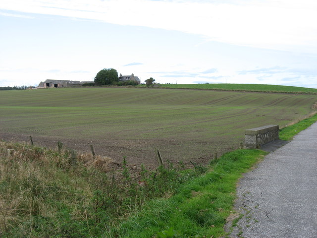
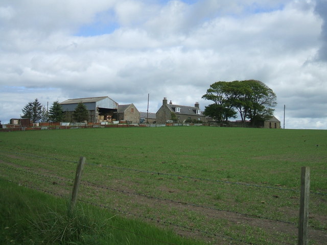
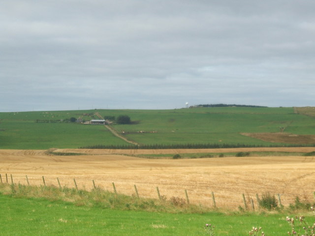
The Belt of Muirtack is a picturesque woodland area located in Aberdeenshire, Scotland. Stretching over approximately 100 acres, it is situated on the outskirts of the charming village of Muirtack. The belt is renowned for its natural beauty and tranquil atmosphere, making it a popular destination for nature enthusiasts and hikers alike.
The woodland is predominantly composed of native Scottish tree species, such as birch, oak, and pine, creating a diverse and vibrant ecosystem. The dense canopy provides a cool and shaded environment, offering respite from the summer heat and creating a perfect habitat for various flora and fauna.
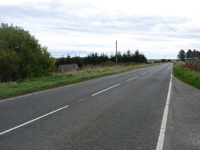
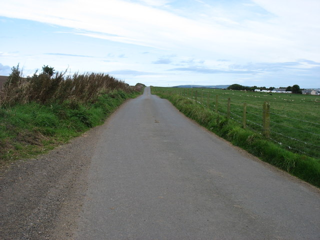
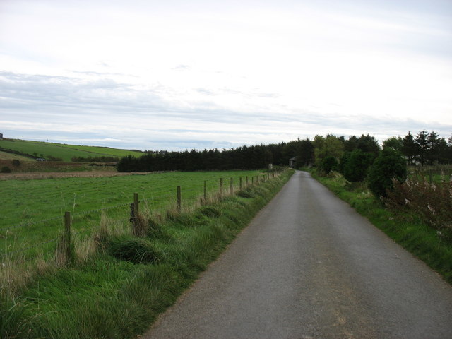
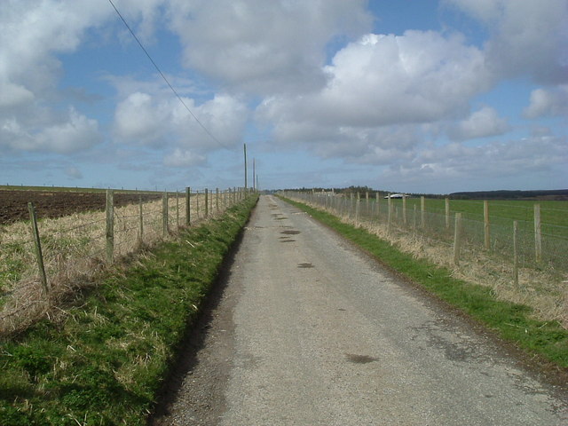
Visitors to the Belt of Muirtack can explore a network of well-maintained trails that wind their way through the woods. These paths vary in difficulty, catering to both casual walkers and more experienced hikers. Along the way, visitors may encounter a variety of wildlife, including red squirrels, roe deer, and a wide array of bird species.
The Belt of Muirtack also boasts several designated picnic areas, allowing visitors to relax and enjoy the natural surroundings while indulging in a packed lunch. Additionally, there are several viewpoints within the woodland that offer stunning vistas of the surrounding countryside.
Overall, the Belt of Muirtack is a captivating woodland retreat, offering visitors a chance to immerse themselves in nature and enjoy the beauty of the Aberdeenshire countryside.
If you have any feedback on the listing, please let us know in the comments section below.
Belt of Muirtack Images
Images are sourced within 2km of 57.435314/-2.013093 or Grid Reference NJ9938. Thanks to Geograph Open Source API. All images are credited.


Belt of Muirtack is located at Grid Ref: NJ9938 (Lat: 57.435314, Lng: -2.013093)
Unitary Authority: Aberdeenshire
Police Authority: North East
What 3 Words
///workbench.cracker.comical. Near Ellon, Aberdeenshire
Nearby Locations
Related Wikis

Skelmuir Hill
Skelmuir Hill is a landform in Aberdeenshire, Scotland. This is the location of a trig point or official government survey marker. Skelmuir Hill is the...
Kinmuck Castle
Kinmuck Castle was a 14th-century castle, about 4.0 miles (6.4 km) north-east of Ellon, Aberdeenshire, Scotland, at, or close to, Mains of Kinmuck. Alternative...
Pitlurg railway station
Pitlurg railway station was a railway station in Pitlurg, Aberdeenshire. == History == The station was opened on 2 August 1897 by the Great North of Scotland...
Bogbrae
Bogbrae is a hamlet in northeastern Aberdeenshire, Scotland. This location was mentioned in the geographical literature as early as 1869, observed as a...
Nearby Amenities
Located within 500m of 57.435314,-2.013093Have you been to Belt of Muirtack?
Leave your review of Belt of Muirtack below (or comments, questions and feedback).