Birnie Wood
Wood, Forest in Aberdeenshire
Scotland
Birnie Wood
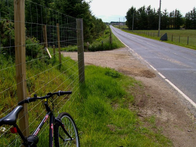
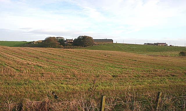
Birnie Wood, located in Aberdeenshire, Scotland, is a picturesque forest renowned for its natural beauty and rich biodiversity. Covering an area of approximately 200 hectares, the wood is situated near the village of Birnie, just a few miles south of the town of Elgin.
The wood is predominantly made up of native broadleaf trees, such as oak, birch, and beech, which create a stunning canopy during the summer months. The forest floor is adorned with a variety of wildflowers, including bluebells and primroses, providing a colorful display in springtime.
Birnie Wood is a haven for wildlife, attracting a diverse range of species throughout the year. Birdwatchers can spot a variety of avian species, including woodpeckers, owls, and various songbirds. The wood is also home to mammals such as red squirrels, roe deer, and badgers, making it an ideal destination for nature enthusiasts and photographers.
Visitors to Birnie Wood can explore a network of well-maintained walking trails that wind their way through the forest, offering spectacular views and opportunities to observe the local wildlife up close. The wood also features a small picnic area, perfect for enjoying a relaxing lunch amidst the tranquil surroundings.
Birnie Wood provides a peaceful escape from the hustle and bustle of everyday life, offering visitors a chance to connect with nature and enjoy the serenity of a beautiful Scottish forest. Whether one is looking for a leisurely stroll, birdwatching, or simply seeking solace in nature, Birnie Wood is a must-visit destination in Aberdeenshire.
If you have any feedback on the listing, please let us know in the comments section below.
Birnie Wood Images
Images are sourced within 2km of 57.652755/-2.0408863 or Grid Reference NJ9762. Thanks to Geograph Open Source API. All images are credited.


Birnie Wood is located at Grid Ref: NJ9762 (Lat: 57.652755, Lng: -2.0408863)
Unitary Authority: Aberdeenshire
Police Authority: North East
What 3 Words
///edgy.hedge.growl. Near Fraserburgh, Aberdeenshire
Nearby Locations
Related Wikis
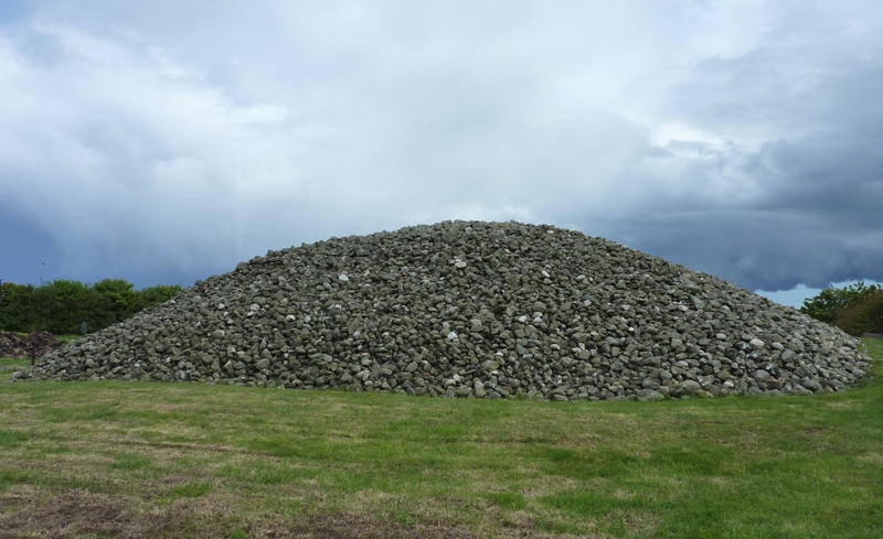
Memsie Cairn
Memsie Cairn is an ancient cairn in Memsie, near Fraserburgh, Aberdeenshire, Scotland. Historic Scotland believe the burial cairn to be from the Bronze...

Memsie
Memsie, Aberdeenshire, is a small community near Fraserburgh, Scotland. On Memsie Moor there is a very large stone cairn, Memsie Cairn, which has been...

House of Memsie
House of Memsie (also known as Mesmie House) is a Category A listed country house and estate in Memsie, Aberdeenshire, Scotland. It dates to around 1760...

Rathen, Aberdeenshire
Rathen is a parish and hamlet near Fraserburgh, Aberdeenshire, Scotland. In Scottish Gaelic, its name means fort on the river.On the coast is Cairnbulg...
Fraserburgh United F.C.
Fraserburgh United Football Club are a Scottish football club from the town of Fraserburgh, Aberdeenshire. Members of the Scottish Junior Football Association...
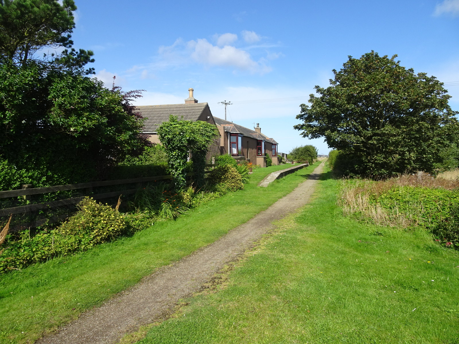
Philorth Halt railway station
Philorth Halt railway station was a railway station near Philorth House, south of Fraserburgh in Aberdeenshire. == History == The station was opened on...
Banff and Buchan College
Banff and Buchan College was until 1 November 2013 the name of the further education institution in Aberdeenshire, Scotland. In November 2013, Banff &...
Kirkton Bridge Halt railway station
Kirkton Bridge Halt railway station or Kirkton Bridge Platform railway station was a request stop on the Fraserburgh and St Combs Light Railway, Aberdeenshire...
Nearby Amenities
Located within 500m of 57.652755,-2.0408863Have you been to Birnie Wood?
Leave your review of Birnie Wood below (or comments, questions and feedback).