Cockit Hat Plantation
Wood, Forest in Berwickshire
Scotland
Cockit Hat Plantation
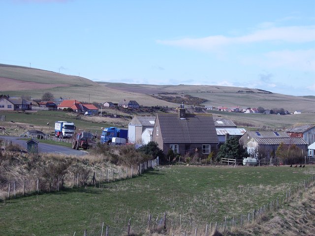
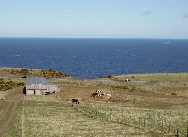
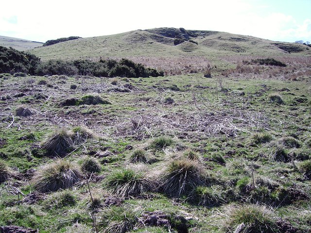
Cockit Hat Plantation is a picturesque woodland located in Berwickshire, Scotland. Situated on the southern slopes of the Lammermuir Hills, it covers an area of approximately 200 acres. The plantation is predominantly composed of native broadleaf trees, including oak, beech, and birch, interspersed with areas of coniferous trees such as Scots pine and Douglas fir.
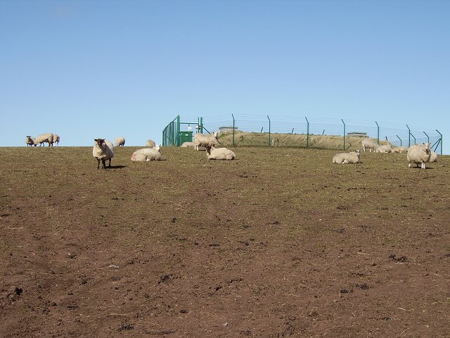
The woodland is known for its diverse and abundant wildlife. It provides a natural habitat for a variety of bird species, including woodpeckers, tits, and finches, making it a popular spot for birdwatching enthusiasts. Additionally, the plantation is home to small mammals such as red squirrels, badgers, and foxes.
Cockit Hat Plantation offers a range of recreational activities for visitors to enjoy. There are several well-marked walking trails that meander through the woodland, allowing visitors to immerse themselves in the beauty of nature. These trails cater to different levels of difficulty, making them suitable for both casual strollers and more avid hikers.
The plantation also offers opportunities for outdoor education and conservation activities. It regularly hosts educational programs and workshops, aimed at raising awareness about the importance of preserving and protecting the local ecosystem. These initiatives provide valuable insights into the flora and fauna of the woodland, as well as the conservation efforts being undertaken to maintain its biodiversity.
Overall, Cockit Hat Plantation is a cherished natural gem in Berwickshire, offering visitors a peaceful escape into nature, as well as educational and recreational opportunities for all ages to enjoy.
If you have any feedback on the listing, please let us know in the comments section below.
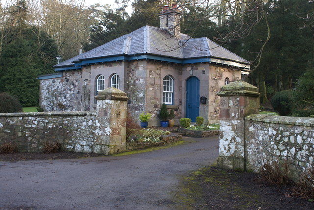
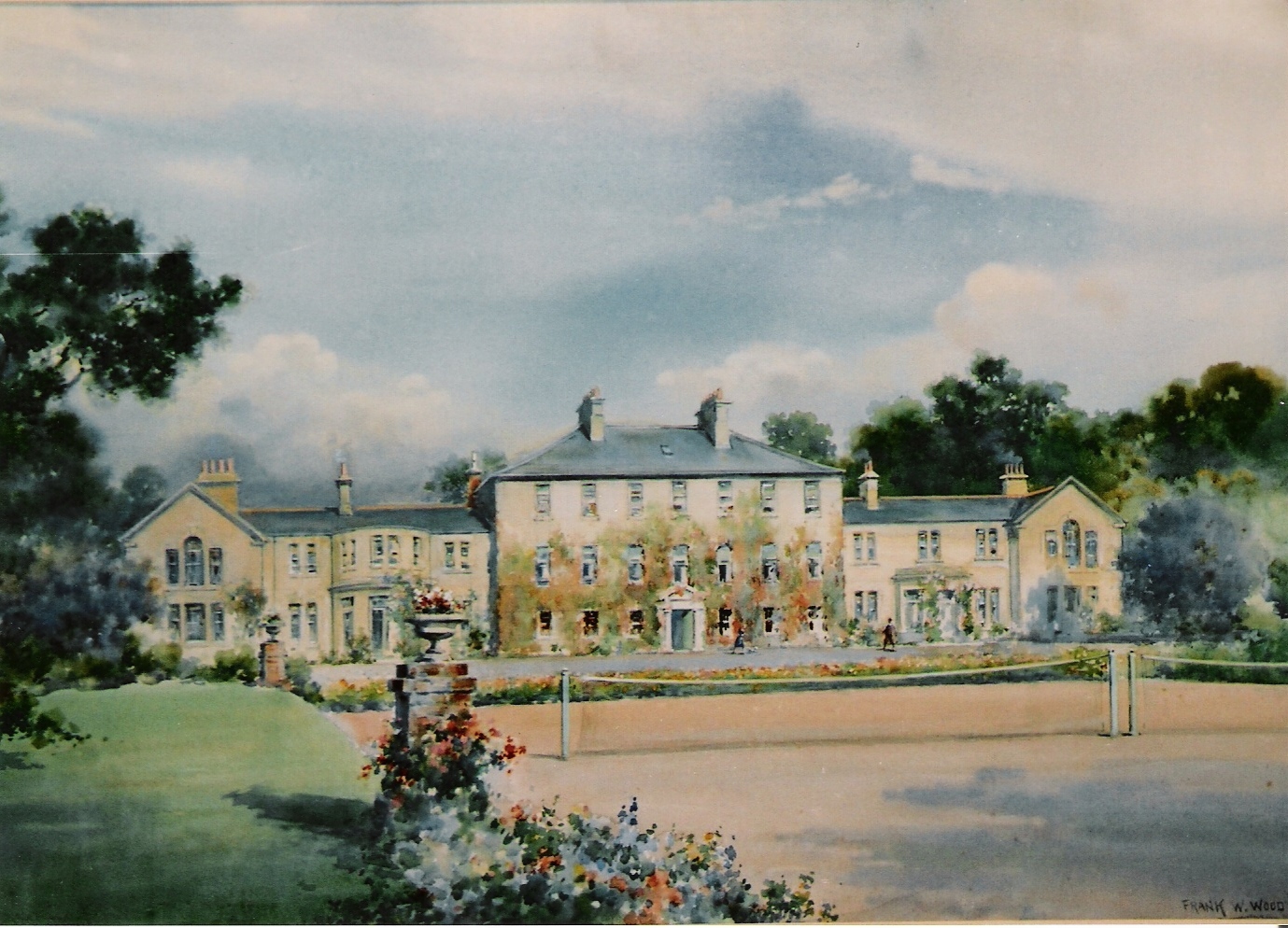
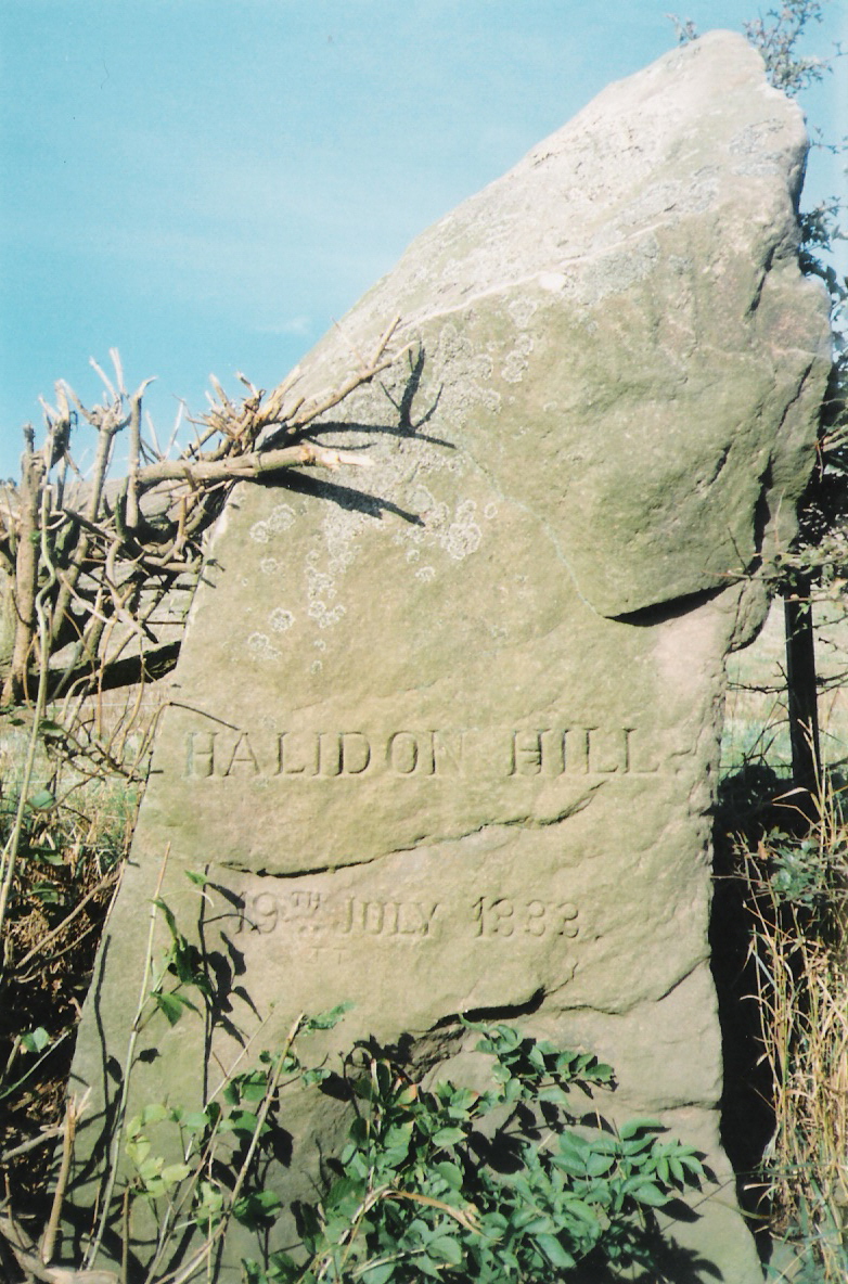
Cockit Hat Plantation Images
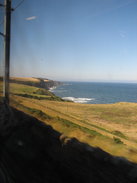
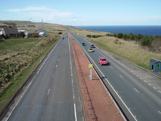
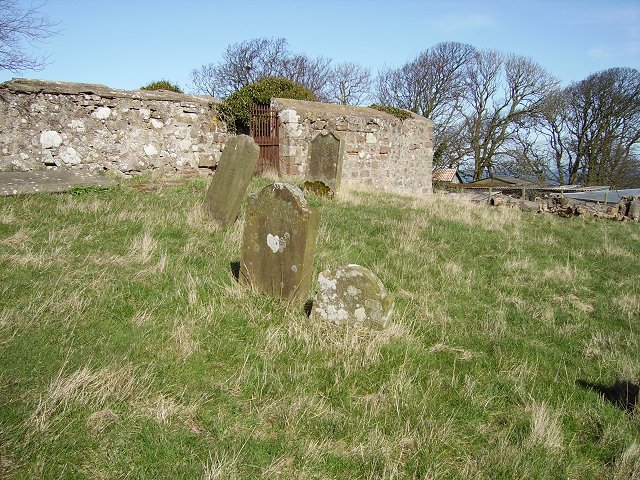
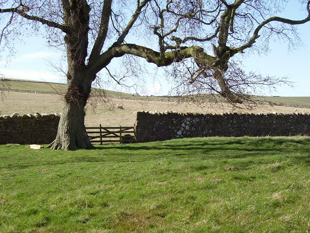
Images are sourced within 2km of 55.803969/-2.0661785 or Grid Reference NT9556. Thanks to Geograph Open Source API. All images are credited.


Cockit Hat Plantation is located at Grid Ref: NT9556 (Lat: 55.803969, Lng: -2.0661785)
Unitary Authority: The Scottish Borders
Police Authority: The Lothians and Scottish Borders
What 3 Words
///quietly.redeeming.digests. Near Berwick-Upon-Tweed, Northumberland
Nearby Locations
Related Wikis


Nearby Amenities
Located within 500m of 55.803969,-2.0661785Have you been to Cockit Hat Plantation?
Leave your review of Cockit Hat Plantation below (or comments, questions and feedback).