Charlestown Wood
Wood, Forest in Kincardineshire
Scotland
Charlestown Wood
Charlestown Wood is a picturesque forest located in the region of Kincardineshire, Scotland. Covering an area of approximately 200 acres, this woodland is renowned for its natural beauty and diverse ecosystem. The wood is situated just a few miles away from the charming coastal town of Stonehaven, making it easily accessible for visitors.
The forest is predominantly composed of native tree species, including oak, birch, and rowan. These towering trees create a dense canopy, providing a habitat for a wide variety of flora and fauna. Walking through Charlestown Wood, one can expect to encounter an array of wildflowers, such as bluebells and primroses, bringing bursts of color to the forest floor.
The wood is intersected by several well-maintained walking trails, allowing visitors to explore its enchanting surroundings. These paths wind through the forest, leading to hidden clearings and tranquil ponds, creating a peaceful and serene atmosphere. The trails are suitable for all ages and fitness levels, making Charlestown Wood an ideal destination for families and nature enthusiasts.
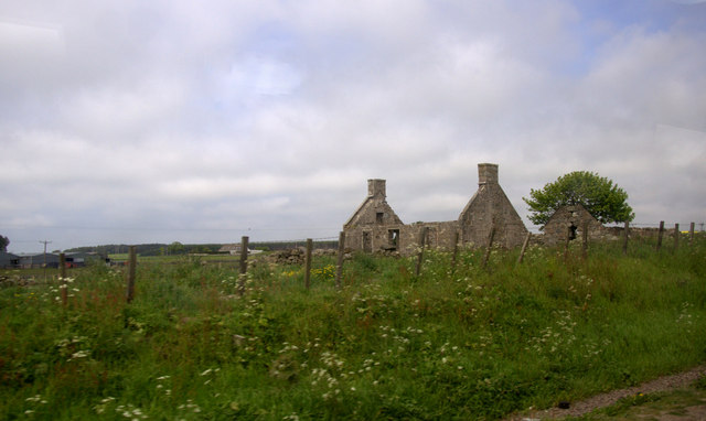
In addition to its natural beauty, Charlestown Wood also has historical significance. The remains of an ancient castle, known as Charlestown Castle, can be found within the forest. These ruins offer a glimpse into the area's rich history and provide a sense of intrigue and mystery.
Overall, Charlestown Wood is a haven for nature lovers and history enthusiasts alike. Its stunning landscapes, diverse wildlife, and historical remnants make it a must-visit destination in Kincardineshire.
If you have any feedback on the listing, please let us know in the comments section below.
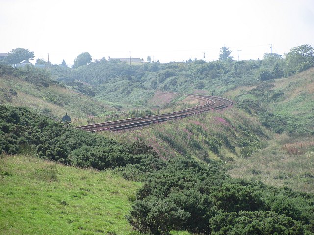
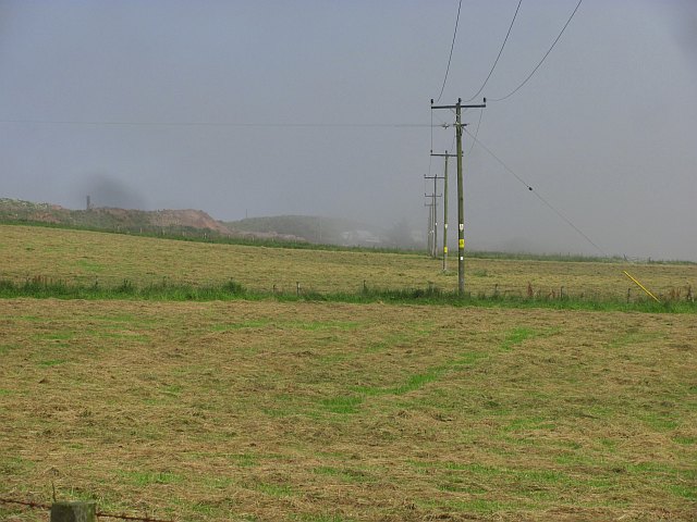
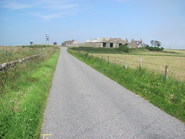
Charlestown Wood Images
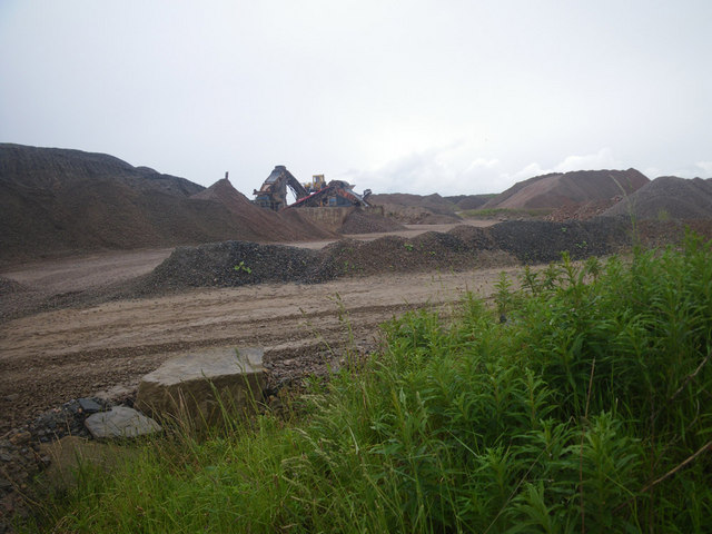
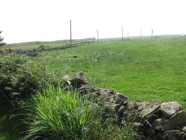
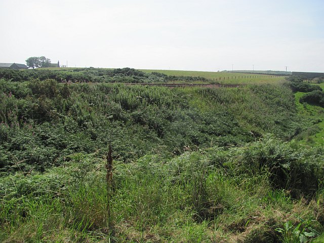
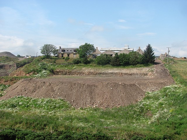
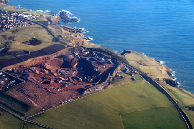
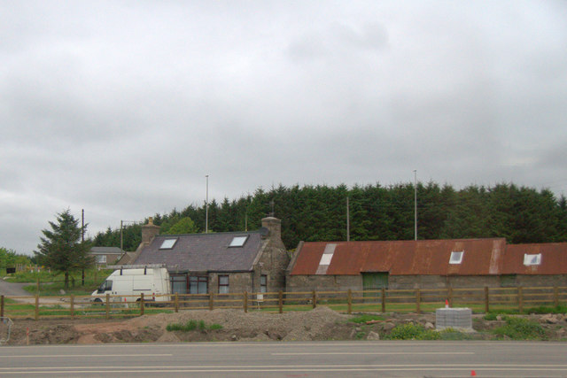
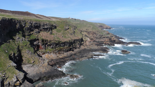
Images are sourced within 2km of 57.098095/-2.0998344 or Grid Reference NJ9400. Thanks to Geograph Open Source API. All images are credited.


Charlestown Wood is located at Grid Ref: NJ9400 (Lat: 57.098095, Lng: -2.0998344)
Unitary Authority: City of Aberdeen
Police Authority: North East
What 3 Words
///carbon.duck.formed. Near Cove, Aberdeen
Nearby Locations
Related Wikis

Cove Bay
Cove Bay, known locally as Cove, is a suburb on the south-east edge of Aberdeen, Scotland. Today Cove is home to around 8,000 people. It is a popular residential...

St Mary's Church, Cove Bay
St Mary the Virgin (Cove Bay) is an Episcopal Church in Cove Bay, Aberdeen, Scotland. It is part of the Diocese of Aberdeen and Orkney in the Scottish...
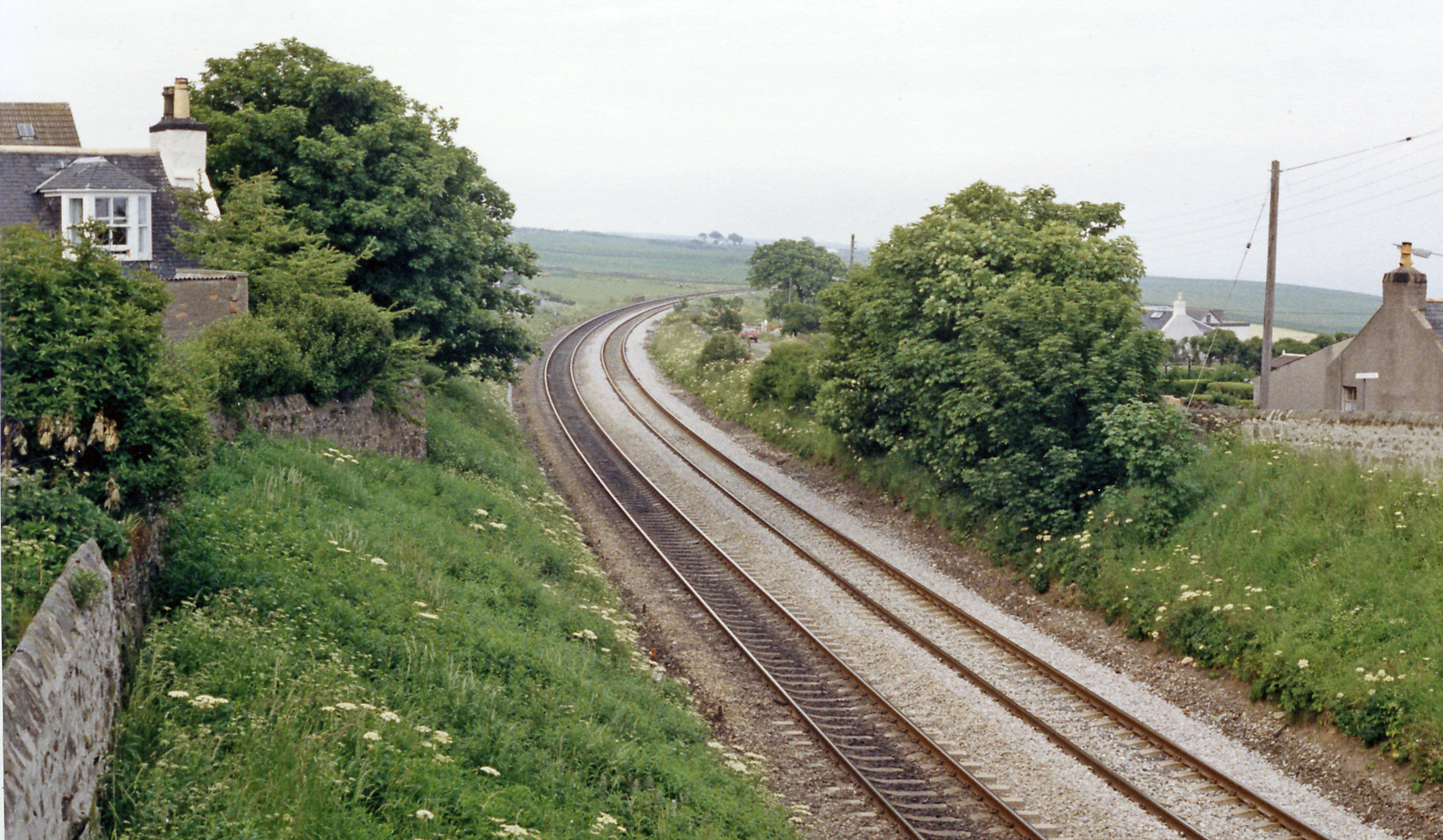
Cove Bay railway station
Cove Bay railway station served the suburb of Cove Bay, Aberdeen, Scotland from 1850 to 1956 on the Aberdeen Railway. == History == The station opened...
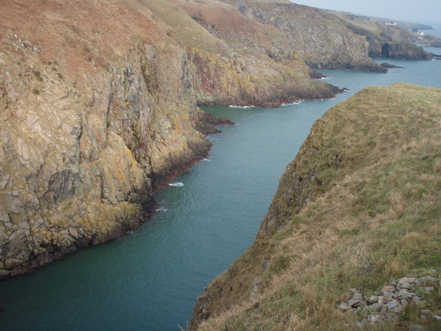
Hare Ness
Hare Ness is a headland landform along the North Sea coastline a few miles south of Aberdeen, Scotland. == History == Hare Ness is situated several kilometres...
Nearby Amenities
Located within 500m of 57.098095,-2.0998344Have you been to Charlestown Wood?
Leave your review of Charlestown Wood below (or comments, questions and feedback).