South Belt

Wood, Forest in Aberdeenshire

Scotland

South Belt

Frosty dawn at Bridge of Don Day breaks over the North Sea on the last day of the year
Frosty dawn at Bridge of Don Credit: Alan Reid

The requested URL returned error: 429 Too Many Requests

If you have any feedback on the listing, please let us know in the comments section below.
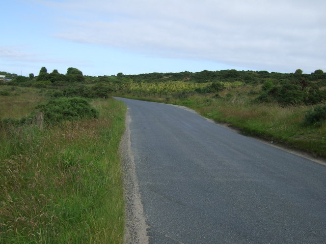
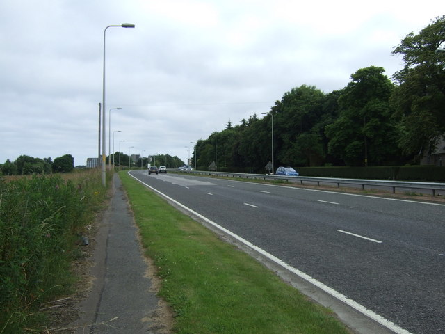
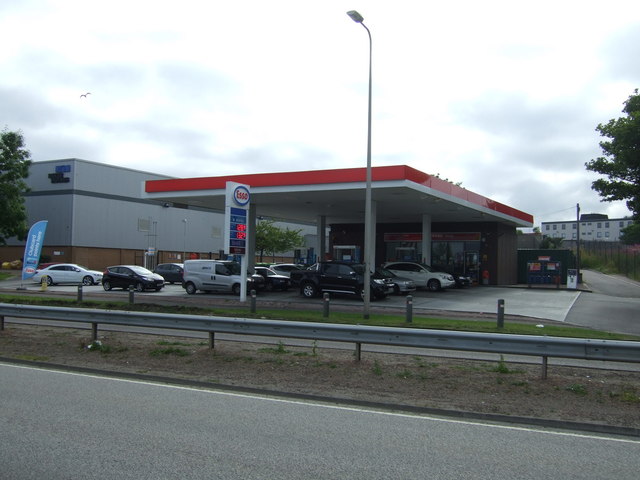
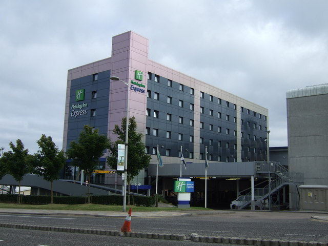
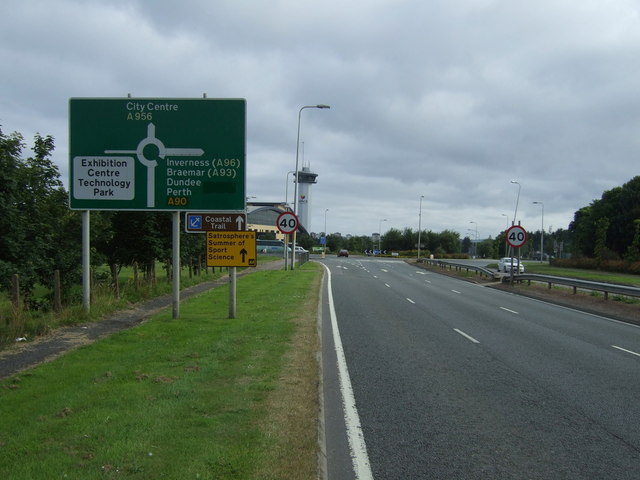
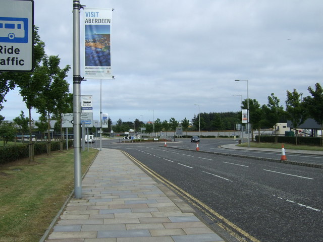
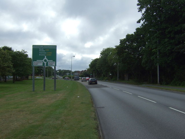
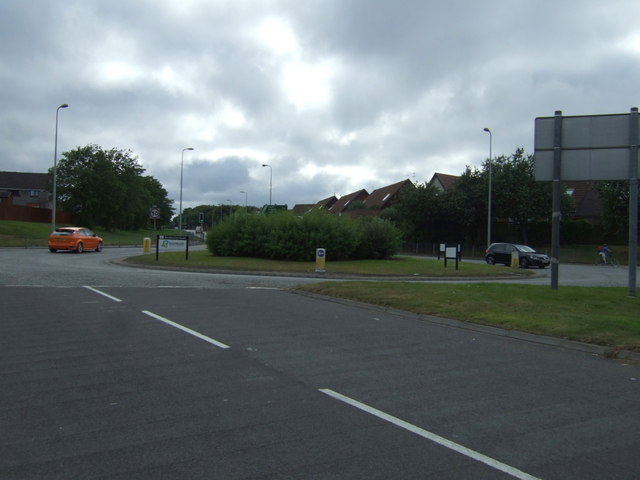
South Belt Images

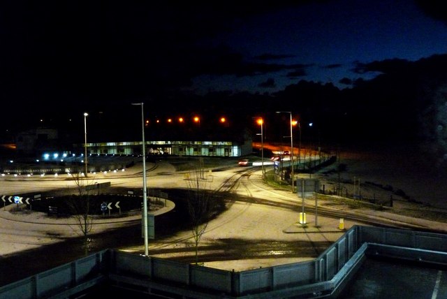
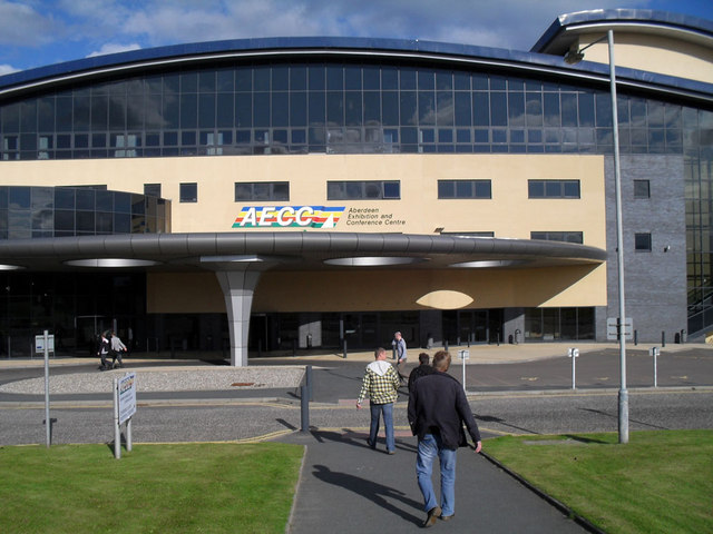
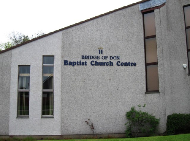
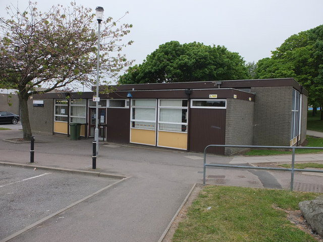
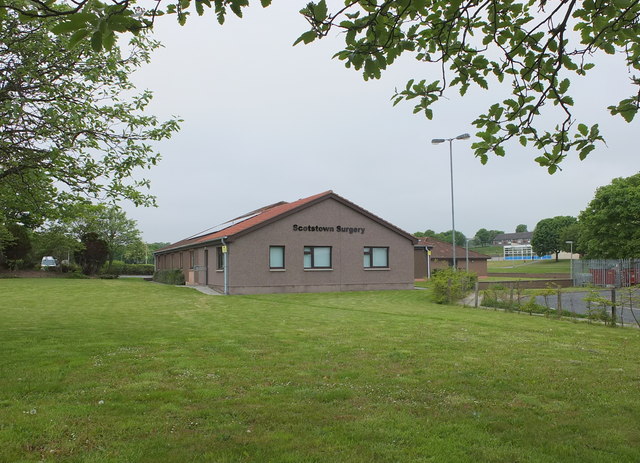
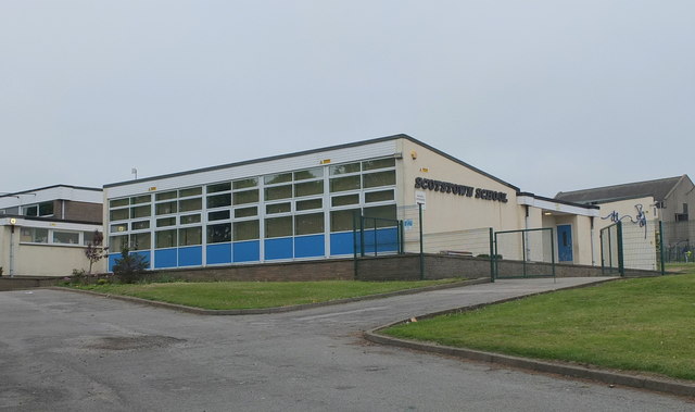
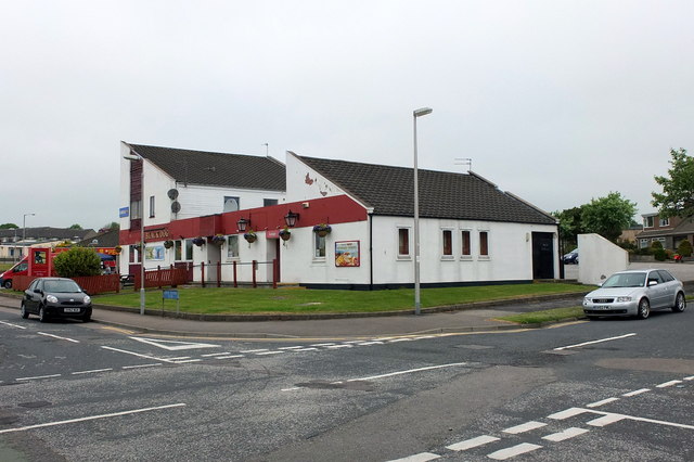
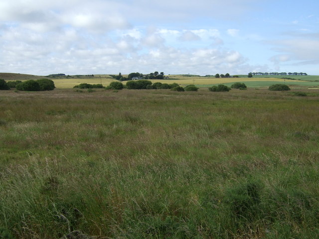
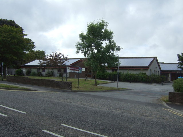
Images are sourced within 2km of 57.188769/-2.1109826 or Grid Reference NJ9310. Thanks to Geograph Open Source API. All images are credited.

Frosty dawn at Bridge of Don Day breaks over the North Sea on the last day of the year
Frosty dawn at Bridge of Don
Day breaks over the North Sea on the last day of the year
The AECC
The AECC
Bridge of Don Baptist Church Centre
Bridge of Don Library Bridge of Don must be the ultimate 1970s suburb, with unimpressive public buildings to match...
Bridge of Don Library
Bridge of Don must be the ultimate 1970s suburb, with unimpressive public buildings to match...
Scotstown Surgery, Bridge of Don
Scotstown School, Bridge of Don, Aberdeen Built in the 1970s with the school name on the end of the building in the Profil typeface.  I thought this typeface was classic (dated) 1970s, but in fact it dates from 1946: <span class="nowrap"><a title="http://ultraboldblog.printweek.com/2009/02/28/profil/" rel="nofollow ugc noopener" href="http://ultraboldblog.printweek.com/2009/02/28/profil/">Link</a><img style="margin-left:2px;" alt="External link" title="External link - shift click to open in new window" src="https://s1.geograph.org.uk/img/external.png" width="10" height="10"/></span> .
Scotstown School, Bridge of Don, Aberdeen
Built in the 1970s with the school name on the end of the building in the Profil typeface. I thought this typeface was classic (dated) 1970s, but in fact it dates from 1946: LinkExternal link .
The Black Dog, Bridge of Don Interesting 1970s architecture..
The Black Dog, Bridge of Don
Interesting 1970s architecture..
Rough grazing, Perwinnes Moss
Rural road heading east, Perwinnes Moss Towards Shielhill.
Rural road heading east, Perwinnes Moss
Towards Shielhill.
Farmland, Denmore East of the A90.
Farmland, Denmore
East of the A90.
Ellon Road (A90) heading south  Into Aberdeen.
Ellon Road (A90) heading south
Into Aberdeen.
Service station on the A90
Holiday Inn Express, Aberdeen Exhibition Centre
A90 heading south Into Aberdeen.
A90 heading south
Into Aberdeen.
Parkway East Heading east near the Aberdeen Exhibition Centre.
Parkway East
Heading east near the Aberdeen Exhibition Centre.
The Parkway (A90) Heading west.
The Parkway (A90)
Heading west.
Scotstown Roundabout A90 heading west.
Scotstown Roundabout
A90 heading west.
Glashieburn Primary School
Show me another place!

South Belt is located at Grid Ref: NJ9310 (Lat: 57.188769, Lng: -2.1109826)

Unitary Authority: City of Aberdeen

Police Authority: North East

What 3 Words

///tend.mops.dots. Near Dyce, Aberdeen

Nearby Locations

South Belt

Related Wikis

Bridge of Don Academy

Bridge of Don Academy is an Aberdeen City Council operated six-year secondary comprehensive school and community centre in Bridge of Don, Aberdeen, Scotland...

Bridge of Don

Bridge of Don is a suburb in the north of Aberdeen, Scotland. In 2020, the Bridge of Don electoral ward was estimated to have a population of 19,545.Bridge...

Scotstown Moor

Scotstown Moor is in the north of Aberdeen, Scotland. Scotstown Moor Local Nature Reserve (LNR) is located four miles to the north of Aberdeen City Centre...

Hall Russell United F.C.

Hall Russell United Football Club are a Scottish football club based in Bridge of Don, a suburb of Aberdeen. Members of the Scottish Junior Football Association...

Nearby Amenities

Located within 500m of 57.188769,-2.1109826
Traffic Calming: cushion
Lat/Long: 57.1880219/-2.1069712
Traffic Calming: cushion
Lat/Long: 57.1867564/-2.1102232
Crossing
Crossing: uncontrolled
Crossing Ref: zebra
Supervised: no
Lat/Long: 57.1849983/-2.1135475
Noexit: yes
Lat/Long: 57.1858953/-2.116699
Traffic Signals
Traffic Signals: signal
Traffic Signals Direction: both
Lat/Long: 57.191847/-2.1071754
Crossing
Crossing: marked
Crossing Island: no
Crossing Markings: yes
Tactile Paving: yes
Lat/Long: 57.1916295/-2.1116867
Direction: both
Surface: asphalt
Traffic Calming: bump
Lat/Long: 57.1921244/-2.1088445
Direction: both
Surface: paving_stones
Traffic Calming: hump
Lat/Long: 57.1928844/-2.1100906
Direction: both
Surface: paving_stones
Traffic Calming: bump
Lat/Long: 57.192389/-2.1095097
Crossing
Crossing: unmarked
Crossing Island: no
Crossing Markings: no
Kerb: lowered
Tactile Paving: no
Lat/Long: 57.1891366/-2.1120564
Bridge of Don
Name Gd: Drochaid Dheathain
Name Sco: Brig o' Don
Place: suburb
Population: 18732
Wikidata: Q4966418
Wikipedia: en:Bridge of Don
Lat/Long: 57.1881806/-2.1053713
Traffic Calming: cushion
Lat/Long: 57.1880711/-2.105354
Crossing
Crossing: unmarked
Crossing Island: no
Crossing Markings: no
Kerb: lowered
Tactile Paving: yes
Lat/Long: 57.1915706/-2.1087838
Barrier: cycle_barrier
Lat/Long: 57.1915609/-2.1116858
Noexit: yes
Lat/Long: 57.1857599/-2.110749
Crossing
Crossing: unmarked
Crossing Island: no
Crossing Markings: no
Lat/Long: 57.188117/-2.1050614
Crossing
Crossing: uncontrolled
Crossing Island: no
Crossing Markings: zebra
Crossing Ref: zebra
Flashing Lights: yes
Tactile Paving: yes
Lat/Long: 57.1885582/-2.1049851
Bus Stop
Lochside Drive
Bus: yes
Naptan AtcoCode: 639005071
Naptan CommonName: Lochside Drive
Naptan Indicator: at
Naptan NaptanCode: 23236398
Naptan Verified: no
Public Transport: platform
Lat/Long: 57.1898888/-2.1057576
Bus Stop
Glashieburn Avenue
Bench: no
Bin: no
Bus: yes
Naptan AtcoCode: 639005062
Naptan CommonName: Glashieburn Avenue
Naptan Indicator: opp
Naptan NaptanCode: 23236453
Naptan Verified: no
Public Transport: platform
Shelter: no
Tactile Paving: no
Lat/Long: 57.1915743/-2.1095019
Bus Stop
Braehead Way
Bench: yes
Bin: no
Bus: yes
Naptan AtcoCode: 639005082
Naptan CommonName: Braehead Way
Naptan Indicator: at
Naptan NaptanCode: 23236383
Naptan Verified: no
Public Transport: platform
Shelter: yes
Tactile Paving: yes
Lat/Long: 57.1879404/-2.1045939
Bus Stop
Braehead Way
Bench: yes
Bin: yes
Bus: yes
Lit: yes
Naptan AtcoCode: 639005081
Naptan CommonName: Braehead Way
Naptan Indicator: opp
Naptan NaptanCode: 23236378
Naptan Verified: no
Public Transport: platform
Shelter: yes
Tactile Paving: no
Lat/Long: 57.1883738/-2.1046802
Bus Stop
Lochside Drive
Bus: yes
Naptan AtcoCode: 639005072
Naptan CommonName: Lochside Drive
Naptan Indicator: opp
Naptan NaptanCode: 23236425
Naptan Verified: no
Public Transport: platform
Lat/Long: 57.190122/-2.1061057
Bus Stop
Glashieburn Avenue
Bench: yes
Bin: no
Bus: yes
Naptan AtcoCode: 639005061
Naptan CommonName: Glashieburn Avenue
Naptan Indicator: at
Naptan NaptanCode: 23236452
Naptan Verified: no
Public Transport: platform
Shelter: yes
Tactile Paving: no
Lat/Long: 57.1917181/-2.1095188
Bus Stop
Newburgh Drive
Bench: yes
Bus: yes
Naptan AtcoCode: 639005051
Naptan CommonName: Newburgh Drive
Naptan Indicator: adj
Naptan NaptanCode: 23236438
Naptan Verified: no
Public Transport: platform
Shelter: yes
Lat/Long: 57.1913816/-2.1141176
Bus Stop
Newburgh Drive
Bus: yes
Naptan AtcoCode: 639005052
Naptan CommonName: Newburgh Drive
Naptan Indicator: opp
Naptan NaptanCode: 23236434
Naptan Verified: no
Public Transport: platform
Shelter: yes
Lat/Long: 57.1912831/-2.1141366
Generator Method: photovoltaic
Generator Output Electricity: yes
Generator Source: solar
Generator Type: solar_photovoltaic_panel
Location: roof
Power: generator
Lat/Long: 57.1909207/-2.1091202
Generator Method: photovoltaic
Generator Output Electricity: yes
Generator Source: solar
Generator Type: solar_photovoltaic_panel
Location: roof
Power: generator
Lat/Long: 57.1910813/-2.1096272
Generator Method: photovoltaic
Generator Output Electricity: yes
Generator Source: solar
Generator Type: solar_photovoltaic_panel
Location: roof
Power: generator
Lat/Long: 57.1892638/-2.10772
Generator Method: photovoltaic
Generator Output Electricity: yes
Generator Source: solar
Generator Type: solar_photovoltaic_panel
Location: roof
Power: generator
Lat/Long: 57.1895407/-2.1075068
Generator Method: photovoltaic
Generator Output Electricity: yes
Generator Source: solar
Generator Type: solar_photovoltaic_panel
Location: roof
Power: generator
Lat/Long: 57.1877683/-2.1135311
Generator Method: photovoltaic
Generator Output Electricity: yes
Generator Source: solar
Generator Type: solar_photovoltaic_panel
Location: roof
Power: generator
Lat/Long: 57.1881229/-2.1144229
Generator Method: photovoltaic
Generator Output Electricity: yes
Generator Source: solar
Generator Type: solar_photovoltaic_panel
Location: roof
Power: generator
Lat/Long: 57.1876571/-2.115992
Grit Bin
Lat/Long: 57.1924711/-2.1069682
Waste Basket
Colour: black
Material: plastic
Waste: trash
Lat/Long: 57.1920988/-2.1071914
Direction: both
Surface: paving_stones
Traffic Calming: hump
Lat/Long: 57.191825/-2.1098362
Crossing
Crossing: marked
Crossing Island: yes
Crossing Markings: yes
Tactile Paving: yes
Lat/Long: 57.1916671/-2.1103947
Post Box
Addr Postcode: AB22 8UL
Collection Times: Mo-Fr 09:00, Sa 07:00
Colour: red
Drive Through: no
Ref: AB22 565D
Royal Cypher: scottish_crown
Lat/Long: 57.1909816/-2.1126314
Grit Bin
Access: yes
Colour: yellow
Material: plastic
Lat/Long: 57.1902922/-2.1117086
Waste Basket
Waste: dog_excrement
Lat/Long: 57.1898862/-2.1114441
Grit Bin
Access: yes
Colour: yellow
Material: plastic
Lat/Long: 57.1908278/-2.1088298
Grit Bin
Access: yes
Colour: yellow
Material: plastic
Lat/Long: 57.1908532/-2.1182645
Grit Bin
Lat/Long: 57.1887421/-2.1188955
Grit Bin
Lat/Long: 57.1899938/-2.1188861
Crossing
Button Operated: yes
Crossing: traffic_signals
Crossing Island: no
Crossing Markings: no
Tactile Paving: yes
Traffic Signals Sound: yes
Traffic Signals Vibration: yes
Lat/Long: 57.1888347/-2.1060677
Traffic Calming: cushion
Lat/Long: 57.1870473/-2.1100858
Traffic Calming: cushion
Lat/Long: 57.1877392/-2.1082766
Crossing
Button Operated: yes
Crossing: traffic_signals
Crossing Island: no
Crossing Markings: no
Tactile Paving: yes
Traffic Signals Sound: yes
Traffic Signals Vibration: yes
Lat/Long: 57.1892066/-2.1045114
Generator Method: photovoltaic
Generator Output Electricity: yes
Generator Source: solar
Generator Type: solar_photovoltaic_panel
Location: roof
Power: generator
Lat/Long: 57.1925131/-2.1144839
Generator Method: photovoltaic
Generator Output Electricity: yes
Generator Source: solar
Generator Type: solar_photovoltaic_panel
Location: roof
Power: generator
Lat/Long: 57.1911539/-2.1050513
Generator Method: photovoltaic
Generator Output Electricity: yes
Generator Source: solar
Generator Type: solar_photovoltaic_panel
Location: roof
Power: generator
Lat/Long: 57.1881512/-2.1143492
Generator Method: photovoltaic
Generator Output Electricity: yes
Generator Source: solar
Generator Type: solar_photovoltaic_panel
Location: roof
Power: generator
Lat/Long: 57.1871338/-2.1074612
Generator Method: photovoltaic
Generator Output Electricity: yes
Generator Source: solar
Generator Type: solar_photovoltaic_panel
Location: roof
Power: generator
Lat/Long: 57.1871527/-2.107362
Generator Method: photovoltaic
Generator Output Electricity: yes
Generator Source: solar
Generator Type: solar_photovoltaic_panel
Location: roof
Power: generator
Lat/Long: 57.1871585/-2.109615
Generator Method: photovoltaic
Generator Output Electricity: yes
Generator Source: solar
Generator Type: solar_photovoltaic_panel
Location: roof
Power: generator
Lat/Long: 57.1866978/-2.1093549
Generator Method: photovoltaic
Generator Output Electricity: yes
Generator Source: solar
Generator Type: solar_photovoltaic_panel
Location: roof
Power: generator
Lat/Long: 57.1863119/-2.1138221
Generator Method: photovoltaic
Generator Output Electricity: yes
Generator Source: solar
Generator Type: solar_photovoltaic_panel
Location: roof
Power: generator
Lat/Long: 57.1863286/-2.1144229
Generator Method: photovoltaic
Generator Output Electricity: yes
Generator Source: solar
Generator Type: solar_photovoltaic_panel
Location: roof
Power: generator
Lat/Long: 57.1860946/-2.1142969
Generator Method: photovoltaic
Generator Output Electricity: yes
Generator Source: solar
Generator Type: solar_photovoltaic_panel
Location: roof
Power: generator
Lat/Long: 57.1879441/-2.1185535
Generator Method: photovoltaic
Generator Output Electricity: yes
Generator Source: solar
Generator Type: solar_photovoltaic_panel
Location: roof
Power: generator
Lat/Long: 57.1878642/-2.1188754
Generator Method: photovoltaic
Generator Output Electricity: yes
Generator Source: solar
Generator Type: solar_photovoltaic_panel
Location: roof
Power: generator
Lat/Long: 57.1884341/-2.1086235
Generator Method: photovoltaic
Generator Output Electricity: yes
Generator Source: solar
Generator Type: solar_photovoltaic_panel
Location: roof
Power: generator
Lat/Long: 57.1900603/-2.108852
Traffic Calming: cushion
Lat/Long: 57.1852159/-2.1128418
Traffic Calming: cushion
Lat/Long: 57.1853954/-2.1122476
Traffic Calming: cushion
Lat/Long: 57.1859521/-2.1106698
Generator Method: photovoltaic
Generator Output Electricity: yes
Generator Source: solar
Generator Type: solar_photovoltaic_panel
Location: roof
Power: generator
Lat/Long: 57.1908389/-2.1147421
Generator Method: photovoltaic
Generator Output Electricity: yes
Generator Source: solar
Generator Type: solar_photovoltaic_panel
Location: roof
Power: generator
Lat/Long: 57.1904443/-2.1091185
Generator Method: photovoltaic
Generator Output Electricity: yes
Generator Source: solar
Generator Type: solar_photovoltaic_panel
Location: roof
Power: generator
Lat/Long: 57.1898337/-2.1133172
Bicycle Parking
Access: yes
Bicycle Parking: stands
Capacity: 2
Colour: brown
Covered: no
Fee: no
Lit: no
Lat/Long: 57.1849915/-2.1091704
Generator Method: photovoltaic
Generator Output Electricity: yes
Generator Source: solar
Generator Type: solar_photovoltaic_panel
Location: roof
Power: generator
Lat/Long: 57.1911103/-2.1139441
Generator Method: photovoltaic
Generator Output Electricity: yes
Generator Source: solar
Generator Type: solar_photovoltaic_panel
Location: roof
Power: generator
Lat/Long: 57.192568/-2.1093723
Generator Method: photovoltaic
Generator Output Electricity: yes
Generator Source: solar
Generator Type: solar_photovoltaic_panel
Location: roof
Power: generator
Lat/Long: 57.1906939/-2.1141802
Generator Method: photovoltaic
Generator Output Electricity: yes
Generator Source: solar
Generator Type: solar_photovoltaic_panel
Location: roof
Power: generator
Lat/Long: 57.1888256/-2.1086159
Scotstown Roundabout
Junction: yes
Lat/Long: 57.1890154/-2.1053168
Generator Method: photovoltaic
Generator Output Electricity: yes
Generator Source: solar
Generator Type: solar_photovoltaic_panel
Location: roof
Power: generator
Lat/Long: 57.1872101/-2.1185428
Post Box
Brand: Royal Mail
Brand Wikidata: Q638098
Brand Wikipedia: en:Royal Mail
Collection Times: Mo-Fr 09:00; Sa 07:00
Operator: Royal Mail
Operator Wikidata: Q638098
Post Box Type: lamp
Ref: AB22 566D
Royal Cypher: scottish_crown
Lat/Long: 57.1877028/-2.1176426
Waste Basket
Survey Date: 2022-01-03
Waste: dog_excrement
Lat/Long: 57.1897461/-2.1158895
Grit Bin
Survey Date: 2022-01-03
Lat/Long: 57.1887581/-2.112016
Waste Basket
Waste: dog_excrement
Lat/Long: 57.1878104/-2.1045987
Grit Bin
Lat/Long: 57.1899096/-2.1177613
Post Box
Brand: Royal Mail
Brand Wikidata: Q638098
Collection Times: Mo-Fr 17:30; Sa 12:15; Su off
Drive Through: no
Operator: Royal Mail
Operator Wikidata: Q638098
Ref: AB22 267
Lat/Long: 57.1846466/-2.1141904
Shop: butcher
Lat/Long: 57.1846562/-2.1136365
Shop: chemist
Lat/Long: 57.1846375/-2.1135884
Give Way
Direction: forward
Lat/Long: 57.1928931/-2.1079405
Give Way
Direction: backward
Lat/Long: 57.1875592/-2.1106724
The data included in this document is from www.openstreetmap.org. The data is made available under ODbL.

Have you been to South Belt?

Leave your review of South Belt below (or comments, questions and feedback).