Backhill Wood
Wood, Forest in Aberdeenshire
Scotland
Backhill Wood
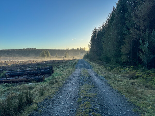
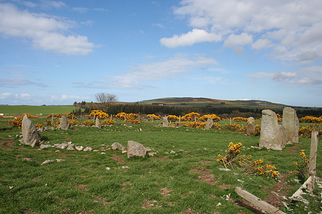
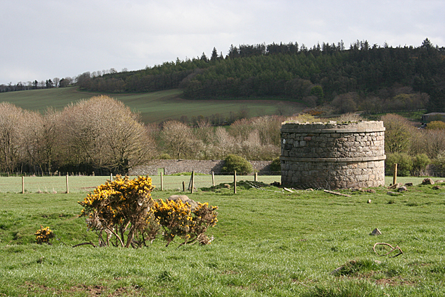
Backhill Wood is a beautiful forest located in Aberdeenshire, Scotland. Covering an area of approximately 100 acres, this woodland is a popular destination for nature lovers and outdoor enthusiasts. The wood is home to a diverse range of flora and fauna, including native Scottish wildlife such as red squirrels, deer, and various bird species.
Visitors to Backhill Wood can enjoy a network of well-maintained walking trails that wind through the forest, providing stunning views of the surrounding countryside. The wood is known for its peaceful and tranquil atmosphere, making it a perfect place for quiet reflection and relaxation.
In addition to its natural beauty, Backhill Wood also has a rich history. The forest has been used by locals for centuries, with evidence of ancient settlements and farming practices still visible in the landscape. Today, the wood is managed by the local council and is open to the public year-round.
Overall, Backhill Wood is a hidden gem in Aberdeenshire, offering visitors a chance to connect with nature and explore the history of this beautiful region.
If you have any feedback on the listing, please let us know in the comments section below.
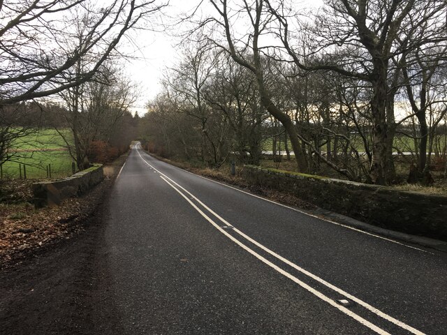
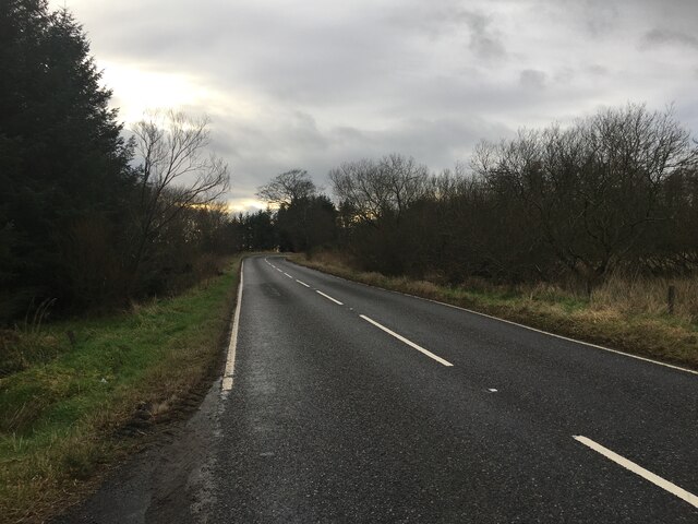
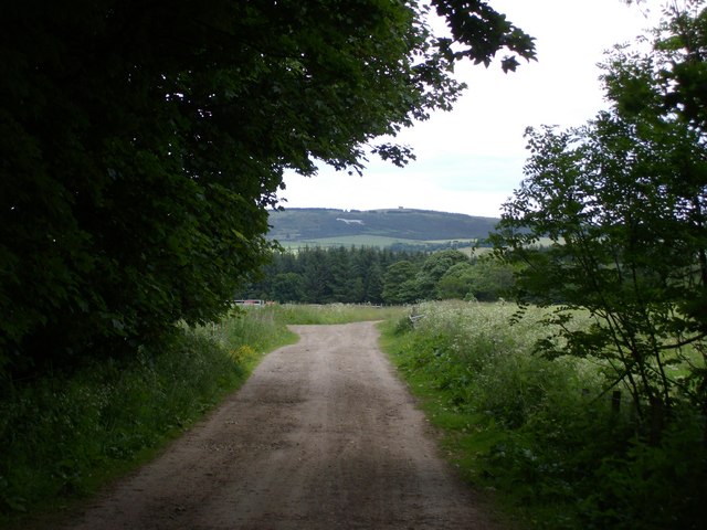
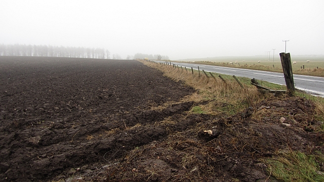
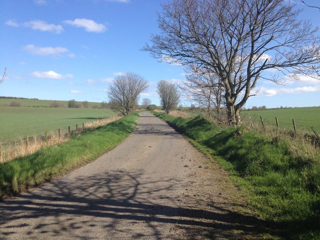
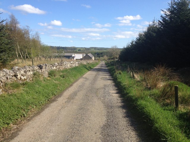
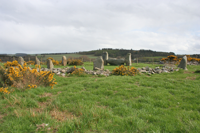
Backhill Wood Images
Images are sourced within 2km of 57.570814/-2.118147 or Grid Reference NJ9353. Thanks to Geograph Open Source API. All images are credited.


Backhill Wood is located at Grid Ref: NJ9353 (Lat: 57.570814, Lng: -2.118147)
Unitary Authority: Aberdeenshire
Police Authority: North East
What 3 Words
///helped.speeding.slug. Near New Pitsligo, Aberdeenshire
Nearby Locations
Related Wikis
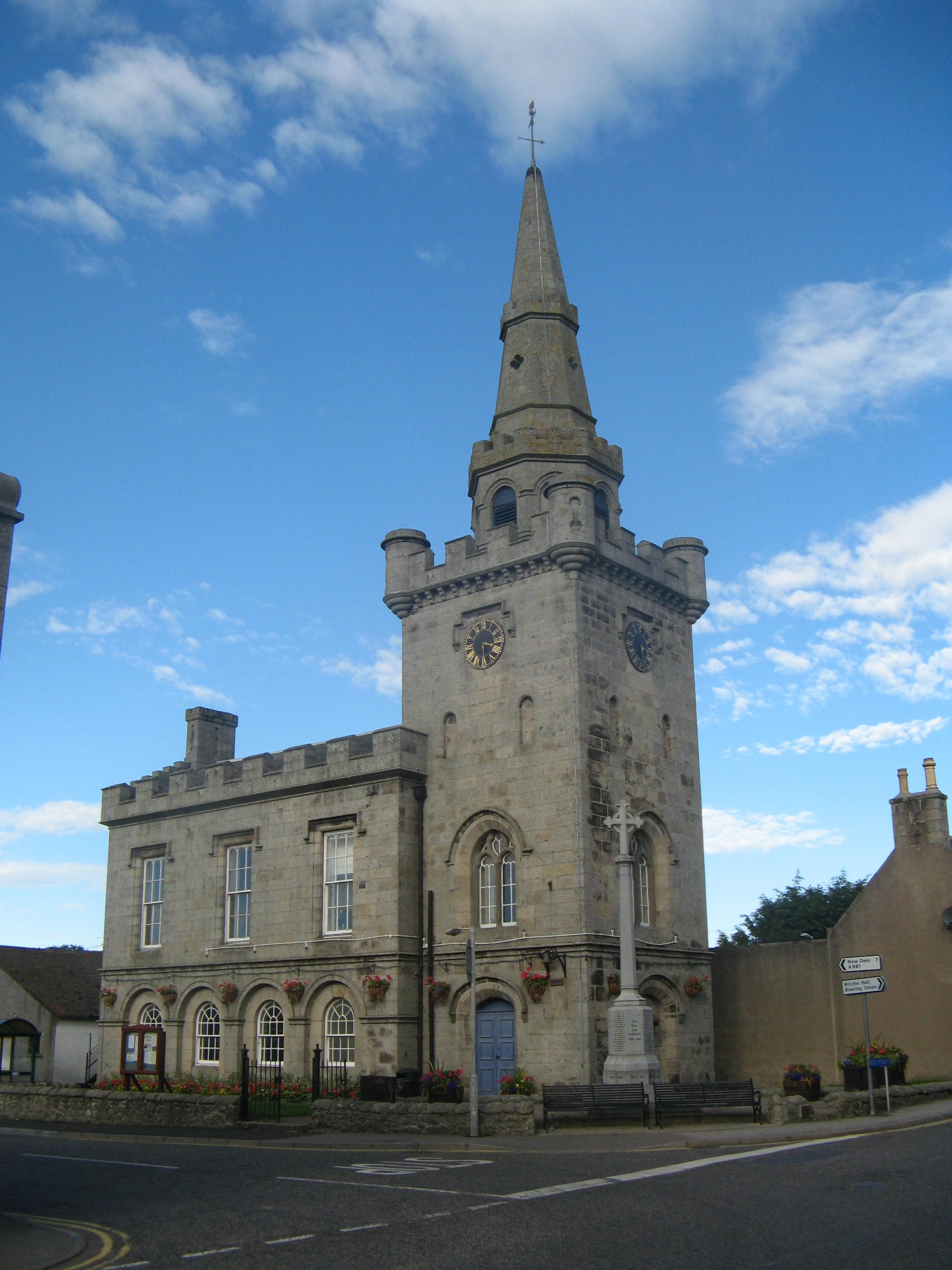
Strichen Town House
Strichen Town House is a municipal structure in High Street, Strichen, Aberdeenshire, Scotland. The building, which was the meeting place of Strichen Parish...

Strichen railway station
Strichen railway station was a railway station in Strichen, Aberdeenshire. == History == The station was opened on 24 April 1865 by the Formartine and...
Strichen
Strichen is a village in Aberdeenshire, Scotland. It sits on the A981, connecting it to New Deer 7.2 miles (12 km) to the southwest and Fraserburgh 8 miles...

Willows Animal Sanctuary
Willows Animal Sanctuary is an animal sanctuary in Fraserburgh, Aberdeenshire, Scotland. == History == Willows Animal Sanctuary was founded, on a 54-acre...
Nearby Amenities
Located within 500m of 57.570814,-2.118147Have you been to Backhill Wood?
Leave your review of Backhill Wood below (or comments, questions and feedback).