Charlton

Settlement in Middlesex Spelthorne

England

Charlton

Ashford Road
Ashford Road Credit: Alex McGregor

Charlton is a small village located in the county of Middlesex, England. Situated approximately 10 miles west of central London, it falls under the administrative jurisdiction of the London Borough of Harrow. With a population of around 5,000 people, Charlton is known for its tranquil and picturesque surroundings.

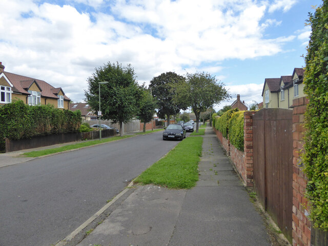
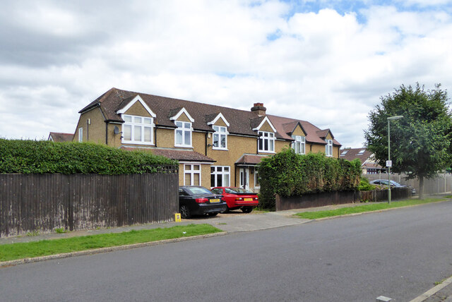
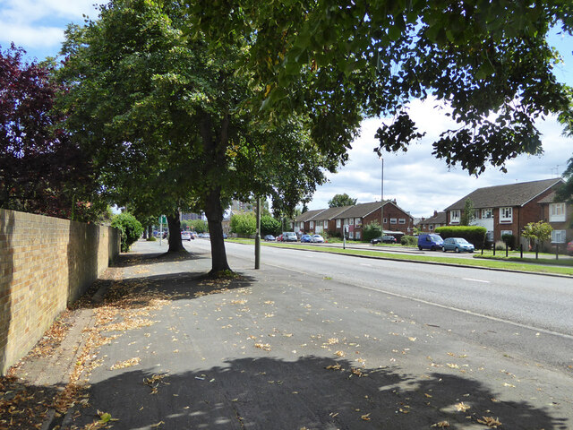
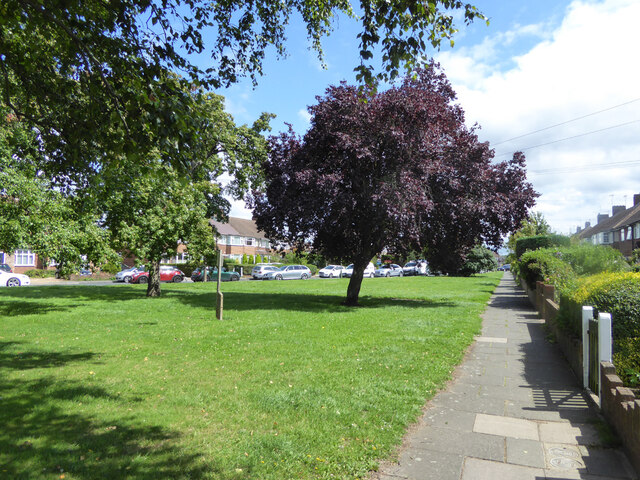
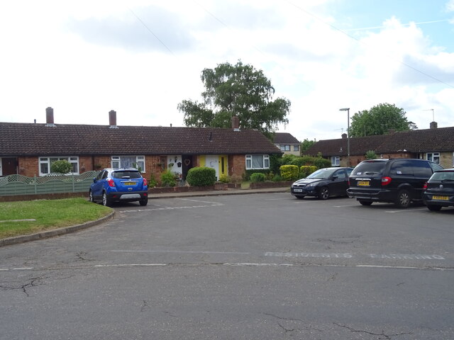
The village is mainly residential, characterized by a mix of detached and semi-detached houses, as well as some modern apartment complexes. The architecture in Charlton is diverse, featuring a blend of traditional British design and contemporary styles. There are several green spaces throughout the area, including Charlton Village Green, which provides a peaceful retreat for residents and visitors alike.

The village offers a range of amenities to cater to the needs of its inhabitants. There are a few local shops, including convenience stores, a post office, and a couple of independent retailers. Additionally, Charlton has a primary school, making it an attractive location for families.

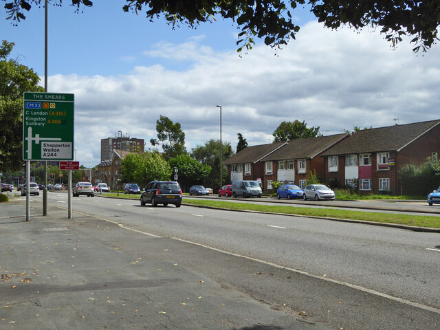
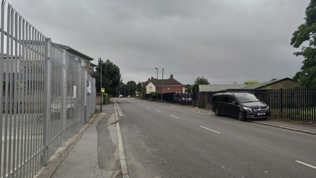
Transport links in Charlton are excellent. The village is served by several bus routes, connecting it to nearby towns and London's underground network. Harrow-on-the-Hill station, which provides access to the Metropolitan line, is a short distance away. The village is also conveniently located close to major roadways, including the A404 and the A409, making it easily accessible by car.

Overall, Charlton offers a peaceful and friendly atmosphere, making it an attractive place to live for those seeking a suburban lifestyle within close proximity to London.

If you have any feedback on the listing, please let us know in the comments section below.

Charlton Images

Images are sourced within 2km of 51.41031/-0.440749 or Grid Reference TQ0869. Thanks to Geograph Open Source API. All images are credited.

Ashford Road
Ashford Road
Ashford Road
Ashford Road
Postbox TW15 162D, School Road, Ashford A George V box, with attached drop box.
Postbox TW15 162D, School Road, Ashford
A George V box, with attached drop box.
Scotts Way, Ashford Common
Houses on Scotts Way, Ashford Common
A308 Staines Road West Heading east.
A308 Staines Road West
Heading east.
A308 Staines Road West Heading east.
A308 Staines Road West
Heading east.
Path and green, Elgin Avenue
Glenfield Road, Ashford
Ashford Road Close to the roundabout going towards Carlton.
Ashford Road
Close to the roundabout going towards Carlton.
Elizabeth II postbox on Cliveden Place, Shepperton Postbox No. TW17 319.
Elizabeth II postbox on Cliveden Place, Shepperton
Postbox No. TW17 319.
Houses on Rosewood Drive, Shepperton
 Rosewood Drive, Shepperton
Rosewood Drive, Shepperton
The Green, Littleton Dam wall of the Queen Mary Reservoir behind.
The Green, Littleton
Dam wall of the Queen Mary Reservoir behind.
New Road, Littleton Beside The Green.
New Road, Littleton
Beside The Green.
Springtime Nursery School, Littleton
Grazing near the Queen Mary Reservoir
M3 Motorway near Charlton From the bridge on Charlton Lane.
M3 Motorway near Charlton
From the bridge on Charlton Lane.
Show me another place!

Charlton is located at Grid Ref: TQ0869 (Lat: 51.41031, Lng: -0.440749)

Administrative County: Surrey

District: Spelthorne

Police Authority: Surrey

What 3 Words

///ballots.lines.living. Near Sunbury-on-Thames, Surrey

Nearby Locations

Charlton

Related Wikis

Thames Water Ring Main

The Thames Water Ring Main (TWRM, formerly the London Water Ring Main) is a system of approximately 80 km (50 mi) of concrete tunnels which transfer drinking...

Upper Halliford railway station

Upper Halliford railway station serves the village of Upper Halliford in Surrey, England. It is 17 miles 34 chains (28.0 km) down the line from London...

Sunbury-on-Thames Urban District

Sunbury on Thames Urban District, also known as Sunbury Urban District, was a local government district from 1894 to 1974 comprising the town and parish...

Queen Mary Reservoir

The Queen Mary Reservoir is one of the largest of London's reservoirs supplying fresh water to London and parts of surrounding counties, and is located...

Nearby Amenities

Located within 500m of 51.41031,-0.440749
Pub
The Harrow
Source: GPS waypoint
Toilets: yes
Toilets Access: customers
Upload Tag: ojw_20060813
Wikidata: Q26280905
Lat/Long: 51.409935/-0.444153
Speed Camera
Lat/Long: 51.4140655/-0.4430941
Bus Stop
Village Stores
Bus: yes
Naptan AtcoCode: 40004402088A
Naptan Bearing: N
Naptan CommonName: Post Office
Naptan Indicator: Just Before
Naptan Landmark: Post Office
Naptan NaptanCode: surdmdta
Naptan Street: Charlton Road
Naptan Verified: no
Public Transport: platform
Source: naptan_import
Lat/Long: 51.4123458/-0.4437433
Bus Stop
Village Stores
Bus: yes
Naptan AtcoCode: 40004402088B
Naptan Bearing: S
Naptan CommonName: Post Office
Naptan Indicator: Just after
Naptan Landmark: Post Office
Naptan NaptanCode: surdmdwa
Naptan Street: Charlton Road
Naptan Verified: no
Public Transport: platform
Source: naptan_import
Lat/Long: 51.4125723/-0.4434932
Bus Stop
The Harrow
Naptan AtcoCode: 40004402153B
Naptan Bearing: S
Naptan CommonName: The Harrow
Naptan Indicator: Just Before
Naptan Landmark: The Harrow
Naptan NaptanCode: surdtwpa
Naptan Street: Charlton Road
Naptan Verified: no
Public Transport: platform
Source: naptan_import
Lat/Long: 51.4101931/-0.444046
Bus Stop
The Harrow
Naptan AtcoCode: 40004402153C
Naptan Bearing: N
Naptan CommonName: The Harrow
Naptan Indicator: Opp
Naptan Landmark: The Harrow
Naptan NaptanCode: surdtwtm
Naptan Street: Charlton Road
Naptan Verified: no
Public Transport: platform
Source: naptan_import
Lat/Long: 51.4099531/-0.4443453
Railway: crossing
Lat/Long: 51.4073253/-0.4360846
Charlton
Place: village
Source Name: OS_OpenData_Locator
Lat/Long: 51.4106514/-0.4439279
Turning Circle
Lat/Long: 51.4100007/-0.4336874
Access: private
Leisure: garden
Lat/Long: 51.4087181/-0.4446374
Railway: crossing
Lat/Long: 51.4073157/-0.4360442
Bench
Backrest: yes
Lat/Long: 51.4120115/-0.4415256
Waste Basket
Lat/Long: 51.4120123/-0.4415614
Post Box
Operator: Royal Mail
Operator Wikidata: Q638098
Post Box Type: pillar
Lat/Long: 51.4110543/-0.4436768
Crossing
Crossing: uncontrolled
Crossing Markings: yes
Lat/Long: 51.4109672/-0.4439543
Post Box
Operator: Royal Mail
Operator Wikidata: Q638098
Post Box Type: pillar
Lat/Long: 51.4127753/-0.443584
The data included in this document is from www.openstreetmap.org. The data is made available under ODbL.

Have you been to Charlton?

Leave your review of Charlton below (or comments, questions and feedback).