Braik's Belt

Wood, Forest in Aberdeenshire

Scotland

Braik's Belt

Auchedly Whins Auchedly farm with roadside gorse.
Auchedly Whins Credit: Andrew Wood

Braik's Belt is a picturesque woodland located in Aberdeenshire, Scotland. Spanning over a vast area, this forest is a popular destination for nature enthusiasts and outdoor adventurers. The wood is nestled amidst the stunning landscape of Aberdeenshire, offering a serene and tranquil environment for visitors.

Braik's Belt is known for its rich biodiversity and diverse ecosystem. The woodland is predominantly composed of native Scottish trees, including oak, birch, and pine, which create a lush and vibrant canopy. The forest floor is adorned with a plethora of wildflowers and ferns, adding to the enchanting ambiance of the area.

The woodland is crisscrossed by numerous well-maintained trails, enabling visitors to explore its beauty at their own pace. These trails lead to various points of interest, such as scenic viewpoints, cascading waterfalls, and hidden caves. Along the way, visitors may encounter a wide array of fauna, including red squirrels, roe deer, and a variety of bird species.

Braik's Belt also offers recreational activities for all ages. The forest features designated picnic areas, allowing families and friends to enjoy a leisurely lunch amidst the natural beauty. Additionally, there are opportunities for hiking, cycling, and wildlife spotting, making it an ideal destination for outdoor enthusiasts.

Overall, Braik's Belt in Aberdeenshire is a stunning woodland that showcases the natural splendor of Scotland. Its diverse flora and fauna, combined with its tranquil atmosphere, make it a must-visit destination for those seeking a peaceful escape into nature.

If you have any feedback on the listing, please let us know in the comments section below.
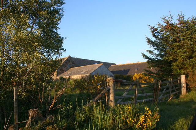
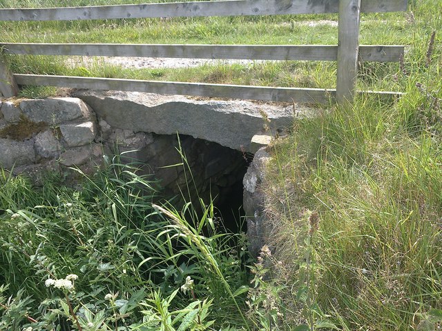
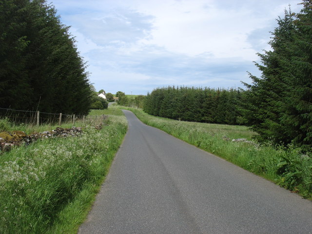
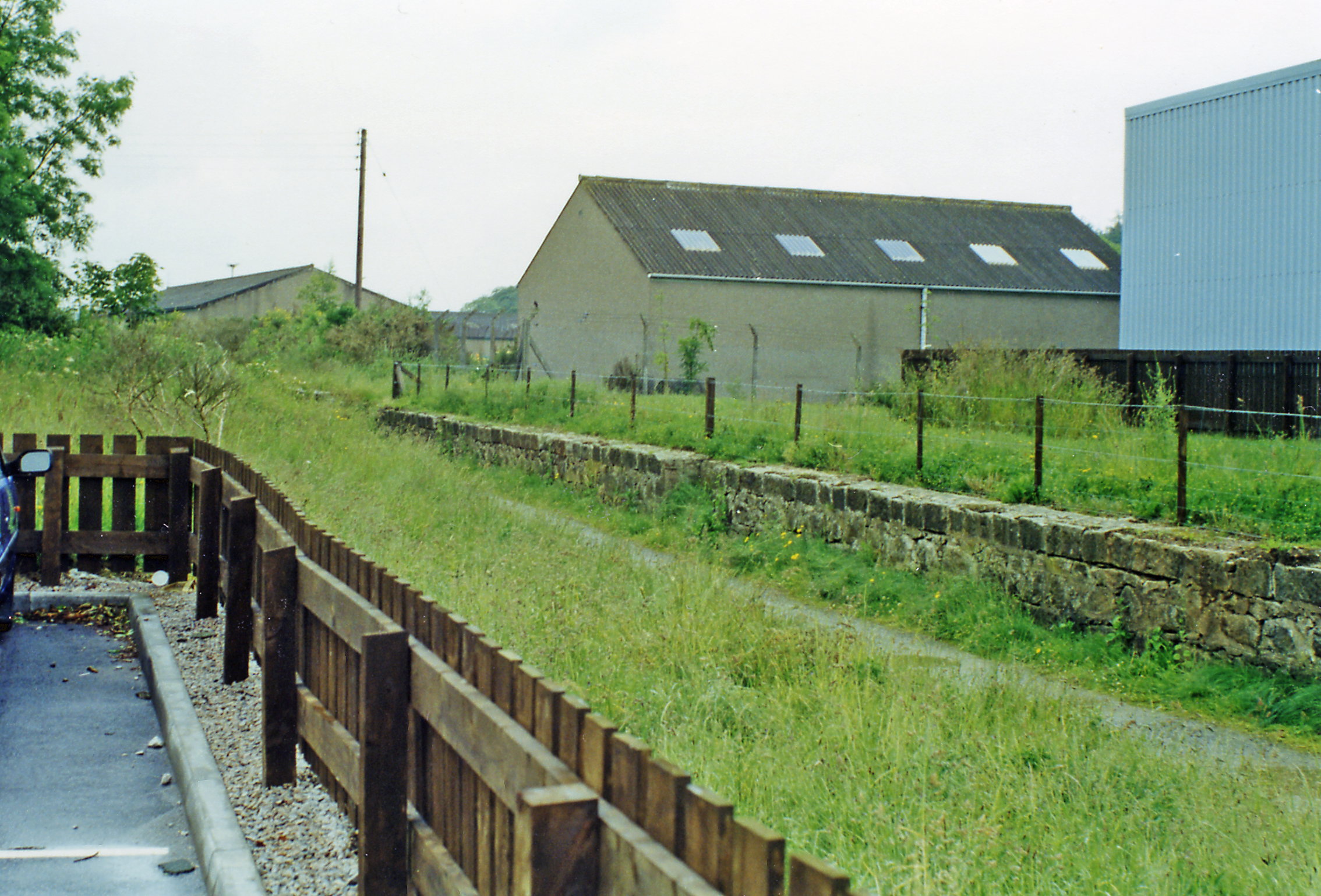
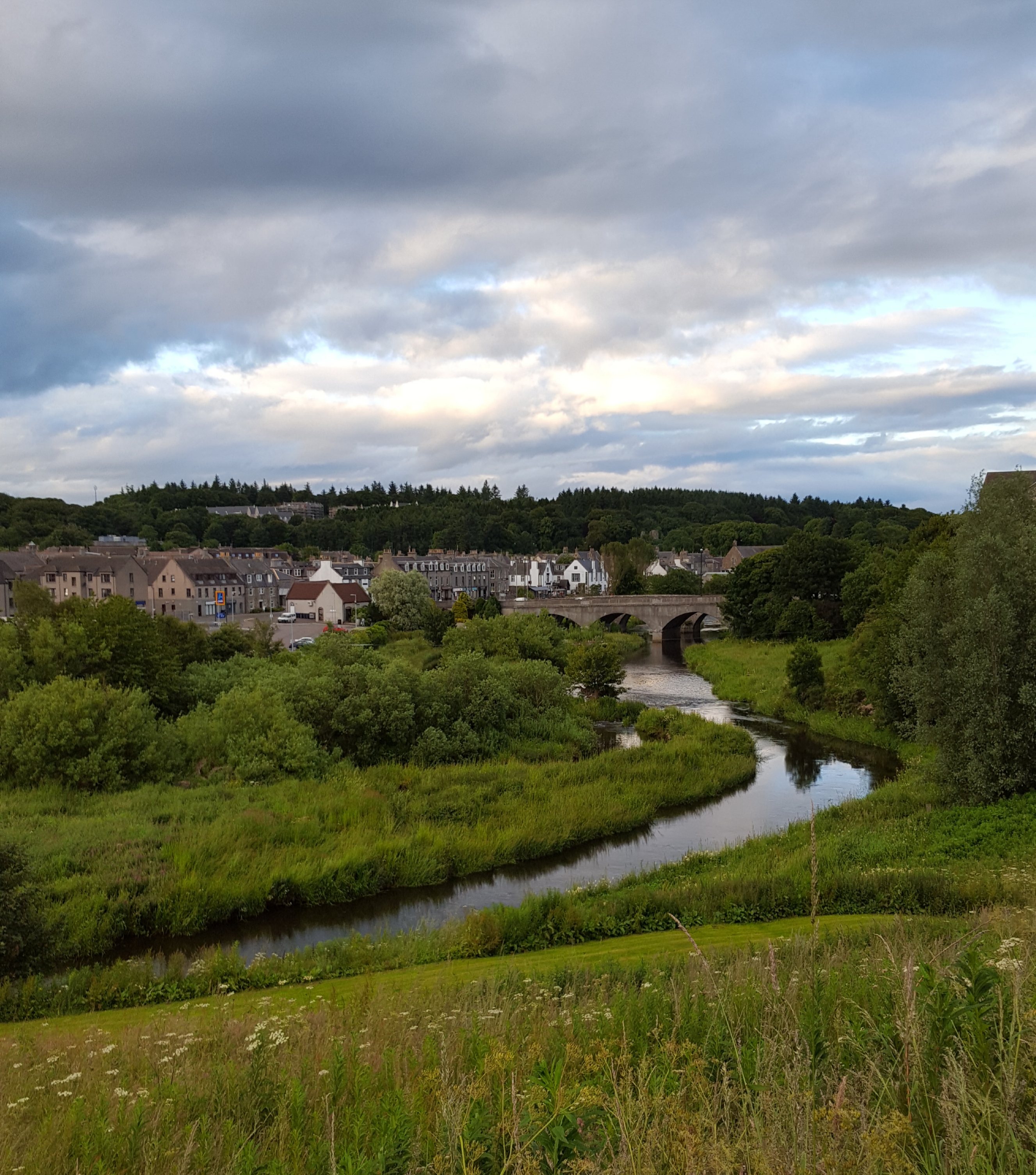
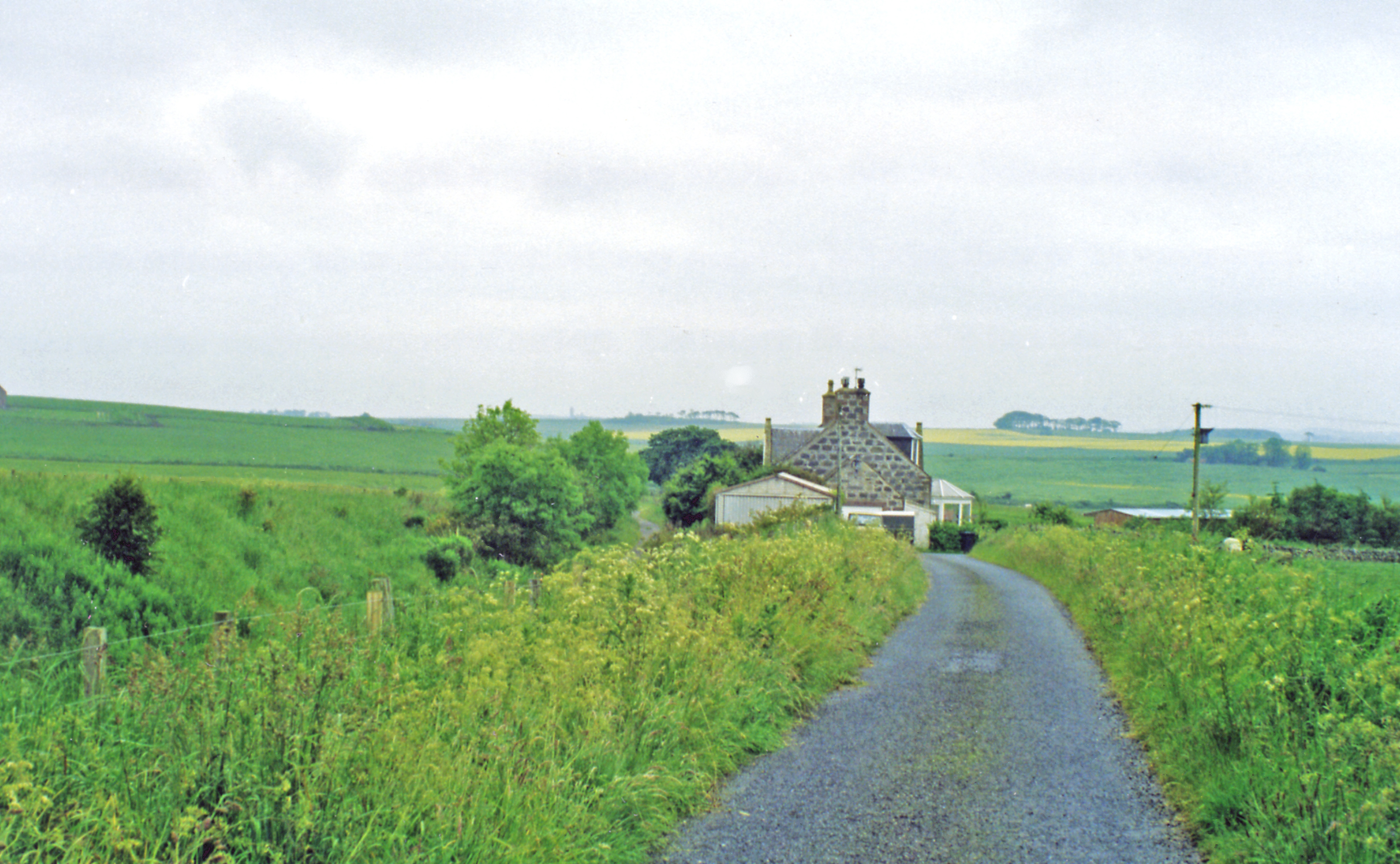
Braik's Belt Images

Images are sourced within 2km of 57.382985/-2.1475954 or Grid Reference NJ9132. Thanks to Geograph Open Source API. All images are credited.

Auchedly Whins Auchedly farm with roadside gorse.
Auchedly Whins
Auchedly farm with roadside gorse.
Shallowplough Brig
Shallowplough Brig
New houses
New houses
New houses
New houses
New house, Dalmore
New house, Dalmore
Construction site
Construction site
New house
New house
New house, Lornoc
New house, Lornoc
Ythanbank Fishery
Ythanbank Fishery
Minor road north of Ellon
Expanding Ythanbank These new houses are not on the maps yet.
Expanding Ythanbank
These new houses are not on the maps yet.
Ardlethen Barley Ripening barley in a field by Ardlethen.
Ardlethen Barley
Ripening barley in a field by Ardlethen.
Ardlethen Entrance A well set out entrance to Ardlethen, the road to the left leads to the farmhouse ahead to the farm and quarry.
Ardlethen Entrance
A well set out entrance to Ardlethen, the road to the left leads to the farmhouse ahead to the farm and quarry.
Fresh Road at Milton of Ardlethen A freshly concreted road at Milton of Ardlethen. Back in the day, in the sixties, peacocks could be seen at this road end.
Fresh Road at Milton of Ardlethen
A freshly concreted road at Milton of Ardlethen. Back in the day, in the sixties, peacocks could be seen at this road end.
To Plodhill Wood Looking up an unclassified tree line road to Plodhill Wood.
To Plodhill Wood
Looking up an unclassified tree line road to Plodhill Wood.
Through Plodhill Wood The road through Plodhill Wood.
Through Plodhill Wood
The road through Plodhill Wood.
Plodhill Path A path through Plodill Wood conifers on one side Birch on the other. The path itself freshly mown , a credit to this privately owned woodland with full access.
Plodhill Path
A path through Plodill Wood conifers on one side Birch on the other. The path itself freshly mown , a credit to this privately owned woodland with full access.
Plodhill Dyke A jumble of cleared stones on what had once presumably been a field dyke on Plodhill.
Plodhill Dyke
A jumble of cleared stones on what had once presumably been a field dyke on Plodhill.
Show me another place!

Braik's Belt is located at Grid Ref: NJ9132 (Lat: 57.382985, Lng: -2.1475954)

Unitary Authority: Aberdeenshire

Police Authority: North East

What 3 Words

///recruited.invents.gobbling. Near Ellon, Aberdeenshire

Nearby Locations

Stott's Wood Braik's Belt

Related Wikis

Nearby Amenities

Located within 500m of 57.382985,-2.1475954
Power: pole
Lat/Long: 57.3870701/-2.1449488
Power: pole
Lat/Long: 57.3864254/-2.1442128
Power: pole
Lat/Long: 57.3857605/-2.1434579
Power: pole
Lat/Long: 57.3857177/-2.1422493
Power: pole
Lat/Long: 57.3856839/-2.1410386
Power: pole
Lat/Long: 57.3864153/-2.1422451
The data included in this document is from www.openstreetmap.org. The data is made available under ODbL.

Have you been to Braik's Belt?

Leave your review of Braik's Belt below (or comments, questions and feedback).