Kingseat Wood

Wood, Forest in Aberdeenshire

Scotland

Kingseat Wood

Cattle by Ardo Cattle grazing in a field by Newton of Ardo with woodland behind.
Cattle by Ardo Credit: Andrew Wood

Kingseat Wood is a picturesque forest located in Aberdeenshire, Scotland. Covering an area of approximately 200 acres, it is a popular destination for nature enthusiasts and outdoor enthusiasts alike. The wood is situated just a few miles south of the town of Newmachar and is easily accessible by car or public transportation.

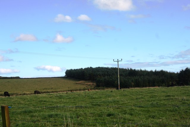
Kingseat Wood is known for its diverse range of flora and fauna, making it an ideal location for wildlife spotting and birdwatching. The forest is home to a variety of tree species, including oak, birch, and pine, which provide a stunning backdrop throughout the year. In spring, the forest floor comes alive with a vibrant display of bluebells and wildflowers.

The wood offers a network of well-maintained trails and paths, allowing visitors to explore its beauty on foot or by bike. These trails cater to all levels of fitness and provide opportunities for both leisurely walks and more challenging hikes. Along the way, visitors can enjoy breathtaking views of the surrounding countryside and may even catch a glimpse of deer or red squirrels.

For those seeking a peaceful retreat, Kingseat Wood offers several picnic areas and benches, perfect for relaxing and enjoying the tranquility of nature. Additionally, the forest has a small car park and toilet facilities for visitors' convenience.

Overall, Kingseat Wood is a must-visit destination for nature lovers seeking a serene and scenic woodland experience in Aberdeenshire. With its diverse wildlife, stunning landscapes, and well-maintained trails, it offers a delightful escape from the hustle and bustle of everyday life.

If you have any feedback on the listing, please let us know in the comments section below.

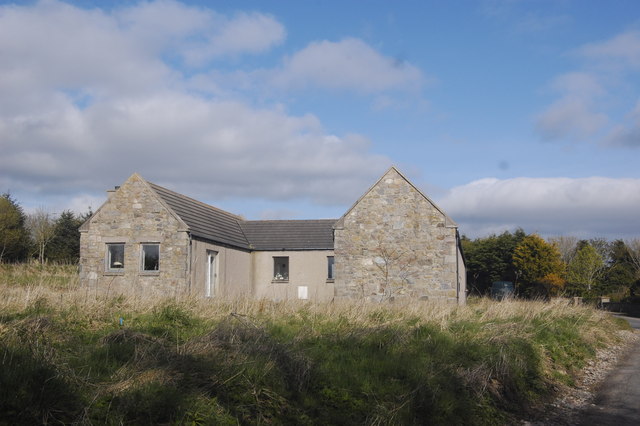
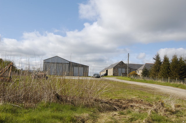
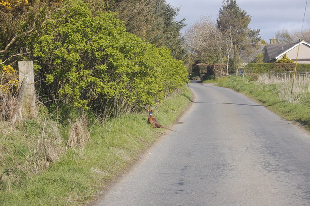
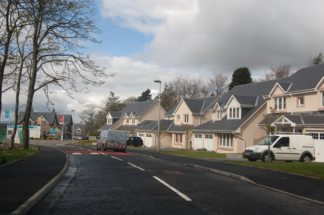
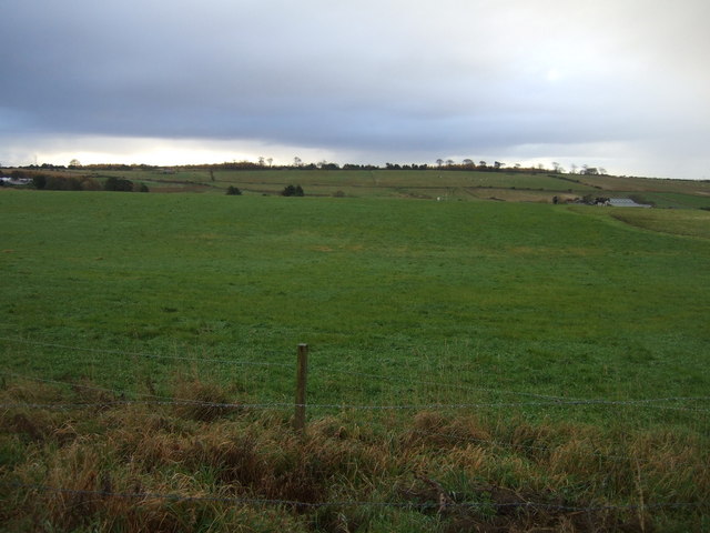
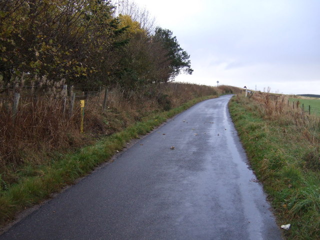
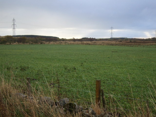
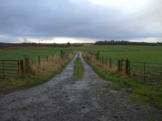
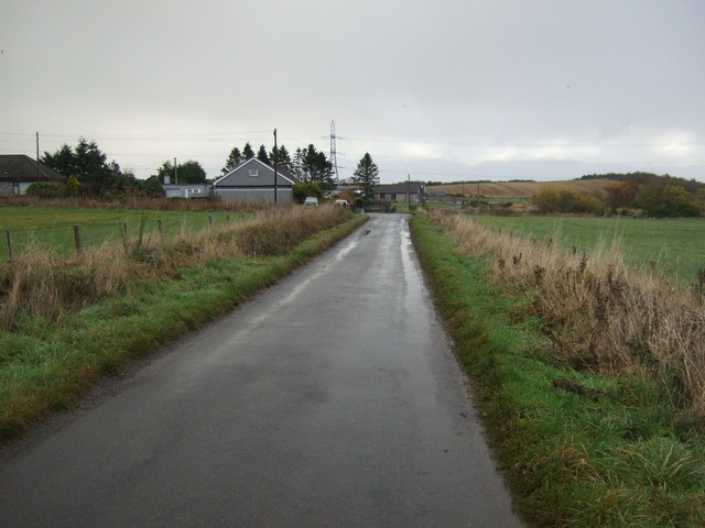
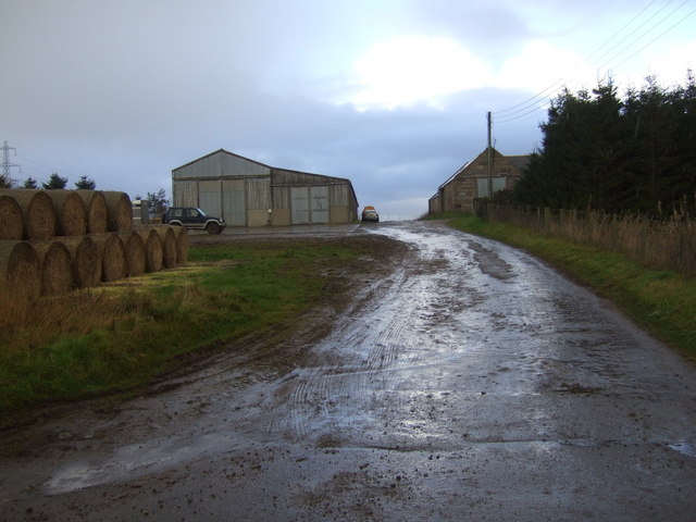
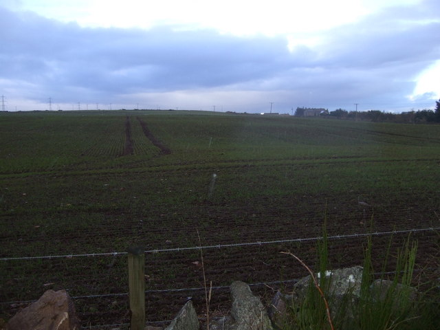
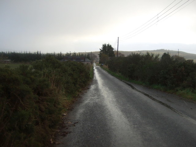
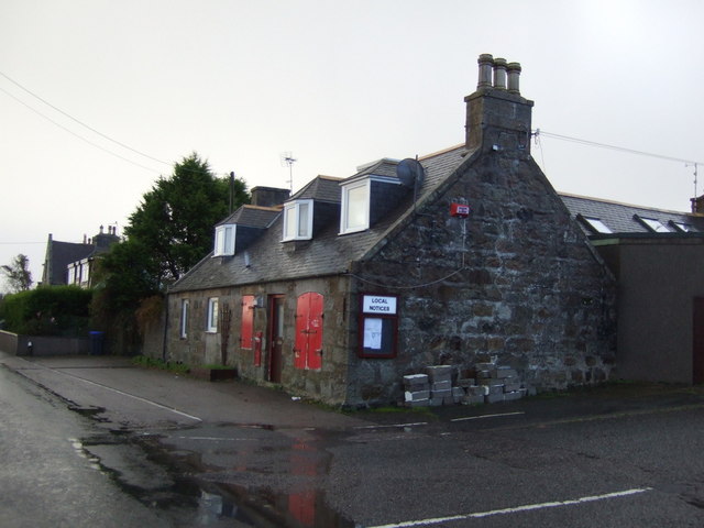
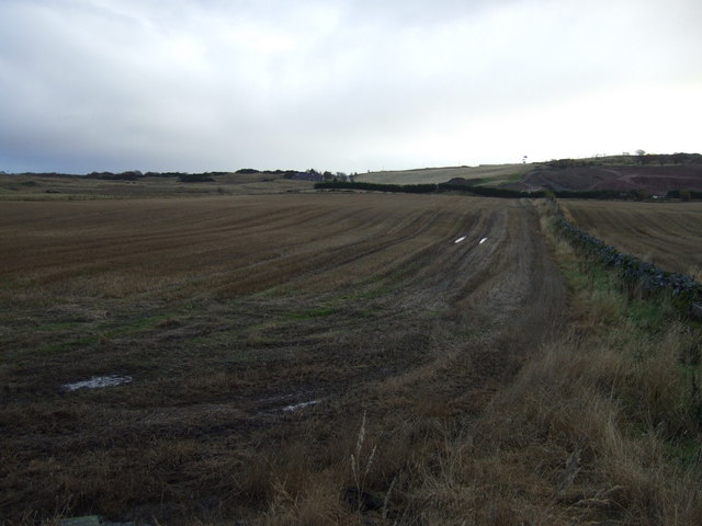
Kingseat Wood Images

Images are sourced within 2km of 57.265453/-2.1558615 or Grid Reference NJ9019. Thanks to Geograph Open Source API. All images are credited.

Cattle by Ardo Cattle grazing in a field by Newton of Ardo with woodland behind.
Cattle by Ardo
Cattle grazing in a field by Newton of Ardo with woodland behind.
New Builds in the country Part of the huge "concept development" at Kingseat Meadows to establish a new suburban village in the country.  Canmore Close is on the right.   The build quality seems way higher than most modern estates.
New Builds in the country
Part of the huge "concept development" at Kingseat Meadows to establish a new suburban village in the country. Canmore Close is on the right. The build quality seems way higher than most modern estates.
Bacchanate Way, Kingseat Meadows, Aberdeenshire Some of the new-build houses on the Kingseat development.
Bacchanate Way, Kingseat Meadows, Aberdeenshire
Some of the new-build houses on the Kingseat development.
Former Hospital Administration Building, Kingseat The Kingseat site was the first "village hospital" in the UK, inspired by European examples. It treated casualties from Atlantic Convoys in WWII and was later used as a residential mental-health facility.  
For more on its interesting history, see:  <span class="nowrap"><a title="http://www.aberdeenshire.gov.uk/planning/devbriefs/KingseatBriefFeb03.pdf" rel="nofollow ugc noopener" href="http://www.aberdeenshire.gov.uk/planning/devbriefs/KingseatBriefFeb03.pdf">Link</a><img style="margin-left:2px;" alt="External link" title="External link - shift click to open in new window" src="https://s1.geograph.org.uk/img/external.png" width="10" height="10"/></span> (warning: large file, 4MByte).  The road has the impressive name of King Malcolm Drive, because King Malcolm reputedly stopped in the area after defeating Macbeth at the battle of Lumphanen in 1057.
Former Hospital Administration Building, Kingseat
The Kingseat site was the first "village hospital" in the UK, inspired by European examples. It treated casualties from Atlantic Convoys in WWII and was later used as a residential mental-health facility. For more on its interesting history, see: LinkExternal link (warning: large file, 4MByte). The road has the impressive name of King Malcolm Drive, because King Malcolm reputedly stopped in the area after defeating Macbeth at the battle of Lumphanen in 1057.
Steading What looks to be a converted farm building at Sunnyside Farm
Steading
What looks to be a converted farm building at Sunnyside Farm
Mains of Whitecairns Farm Part of a huge, sprawling complex of farm buildings.
Mains of Whitecairns Farm
Part of a huge, sprawling complex of farm buildings.
Pheasant This dopey bird almost got run down...
Pheasant
This dopey bird almost got run down...
Too new for the map Some of the new-builds at the Kingseat Meadows development.
Too new for the map
Some of the new-builds at the Kingseat Meadows development.
Farmland, Sunnyside
Farmland, Sunnyside
Country road heading east Towards Whitecairns.
Country road heading east
Towards Whitecairns.
Grazing, Red Moss
Grazing, Red Moss
Track towards Bridgefoot
Country road heading east  Towards Whitecairns.
Country road heading east
Towards Whitecairns.
Mains of Whitecairns
Farmland, Mains of Whitecairns
Country road heading east  Towards Whitecairns.
Country road heading east
Towards Whitecairns.
Old Shop Whitecairns Now closed.
Old Shop Whitecairns
Now closed.
Farmland, Whitecairns
Show me another place!

Kingseat Wood is located at Grid Ref: NJ9019 (Lat: 57.265453, Lng: -2.1558615)

Unitary Authority: Aberdeenshire

Police Authority: North East

What 3 Words

///skinning.flesh.proceeds. Near Newmacher, Aberdeenshire

Nearby Locations

Kingseat Wood Kingseat

Related Wikis

Kingseat Hospital, Aberdeenshire

Kingseat Hospital is a former mental health facility near Newmachar in Aberdeenshire, Scotland. Some of the old hospital buildings now form the central...

Kingseat, Aberdeenshire

Kingseat is a village in Aberdeenshire, Scotland about 10 miles (16 km) to the north-west of Aberdeen and 1 mile (1.6 km) east of Newmachar. == History... ==

Newmachar railway station

Newmachar railway station was a railway station in Newmachar, Aberdeenshire which is now closed. == History == The station was opened on 18 July 1861 by...

Whitecairns

Whitecairns is a village in the Formartine area of Aberdeenshire, Scotland, lying 3.6 kilometres (2.2 mi) north of Potterton and 9.7 kilometres (6.0 mi...

Nearby Amenities

Located within 500m of 57.265453,-2.1558615
Traffic Calming: hump
Lat/Long: 57.2634782/-2.161143
Crossing
Crossing Island: yes
Lat/Long: 57.2632675/-2.1606931
Traffic Calming: hump
Lat/Long: 57.2634821/-2.160125
Crossing
Crossing Island: yes
Lat/Long: 57.262425/-2.1594682
Design: barrel
Power: tower
Source: bing
Lat/Long: 57.2688814/-2.1536393
Design: barrel
Power: tower
Source: bing
Lat/Long: 57.2660892/-2.1518359
Design: barrel
Power: tower
Source: bing
Lat/Long: 57.2632264/-2.1499617
Crossing
Lat/Long: 57.2620854/-2.1575657
Kingseat
Name Gd: Suidhe an Rìgh
Place: village
Population: 830
Source: http://www.citypopulation.de/php/uk-scotland.php?cityid=496001
Wikidata: Q55657181
Wikipedia: en:Kingseat, Aberdeenshire
Lat/Long: 57.2623492/-2.1609459
Traffic Calming: hump
Lat/Long: 57.2626249/-2.1588677
Defibrillator
Emergency: defibrillator
Lat/Long: 57.2620465/-2.1563779
Traffic Calming: table
Lat/Long: 57.2620218/-2.159482
Crossing
Lat/Long: 57.2622267/-2.1573791
Crossing
Lat/Long: 57.2619007/-2.1574791
Traffic Calming: hump
Lat/Long: 57.263681/-2.1633335
Traffic Calming: hump
Lat/Long: 57.2635775/-2.1622842
Power: pole
Lat/Long: 57.2631039/-2.1492906
Power: pole
Lat/Long: 57.2636544/-2.1495714
Power: pole
Lat/Long: 57.2633901/-2.1509853
Power: pole
Lat/Long: 57.2636894/-2.1522034
Power: pole
Lat/Long: 57.2639755/-2.1534396
Power: pole
Lat/Long: 57.264005/-2.1535729
Power: pole
Lat/Long: 57.2638139/-2.1546768
Power: pole
Lat/Long: 57.264005/-2.1558746
Power: pole
Lat/Long: 57.2642027/-2.1570643
Power: pole
Lat/Long: 57.2646451/-2.1582137
Power: pole
Lat/Long: 57.2650733/-2.1593994
Power: pole
Lat/Long: 57.2654949/-2.1605548
Power: pole
Lat/Long: 57.2659526/-2.1617809
Power: pole
Lat/Long: 57.2662606/-2.1626454
Power: pole
Lat/Long: 57.2664627/-2.1639665
Noexit: yes
Lat/Long: 57.2642186/-2.1624888
Noexit: yes
Lat/Long: 57.2642059/-2.1623775
Crossing
Crossing Island: yes
Lat/Long: 57.2631598/-2.1570803
Parking
Access: private
Parking: surface
Lat/Long: 57.2624787/-2.1585124
Bus Stop
Betteral Road
Bus: yes
Naptan AtcoCode: 630046111
Naptan Bearing: SE
Naptan CommonName: Betteral Road
Naptan Indicator: opp
Naptan NaptanCode: 23629658
Naptan Street: King Malcolm Drive
Naptan Verified: no
Public Transport: platform
Source: naptan;bing;naptan_compare_tool
Lat/Long: 57.2630044/-2.1602805
The data included in this document is from www.openstreetmap.org. The data is made available under ODbL.

Have you been to Kingseat Wood?

Leave your review of Kingseat Wood below (or comments, questions and feedback).