Craigingles Wood

Wood, Forest in Kincardineshire

Scotland

Craigingles Wood

Minor road to Bishopston With sign indicating the way to a Cheesemaker and Farm Shop.
Minor road to Bishopston Credit: Stanley Howe

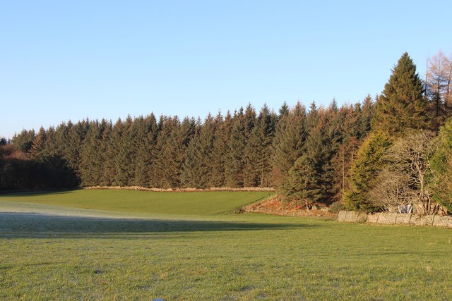
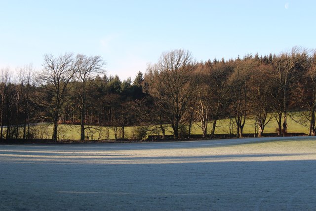
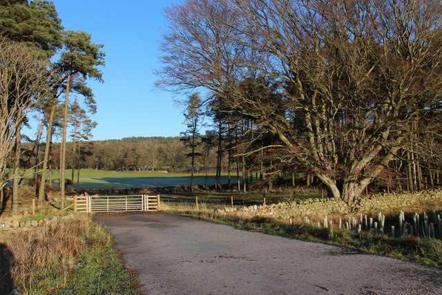
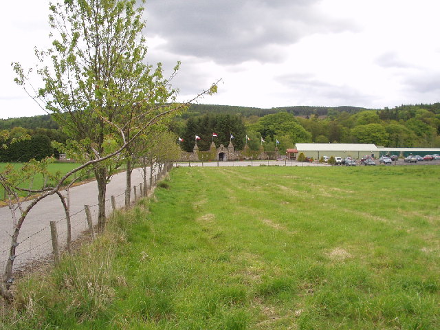
Craigingles Wood is a beautiful forest located in Kincardineshire, Scotland. Covering an area of approximately 30 acres, this woodland is a popular destination for nature lovers and outdoor enthusiasts. The forest is home to a variety of native trees, including oak, birch, and pine, creating a diverse and vibrant ecosystem.

Visitors to Craigingles Wood can enjoy a network of well-maintained walking trails that wind through the forest, providing opportunities for peaceful strolls and scenic views. The forest is also home to a diverse range of wildlife, including deer, squirrels, and various bird species, making it a great spot for birdwatching and wildlife photography.

In addition to its natural beauty, Craigingles Wood also has historical significance, with remnants of ancient settlements and structures scattered throughout the forest. This adds an extra layer of interest for those interested in the area's history and archaeology.

Overall, Craigingles Wood is a tranquil and picturesque destination for those looking to escape the hustle and bustle of everyday life and immerse themselves in the beauty of nature.

If you have any feedback on the listing, please let us know in the comments section below.

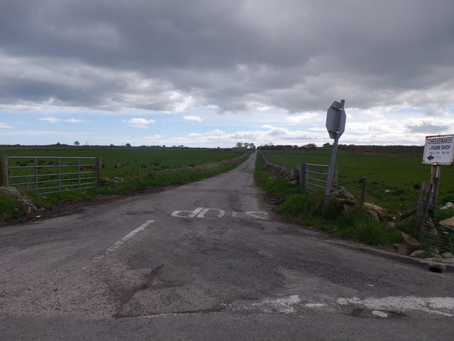
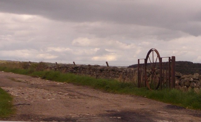
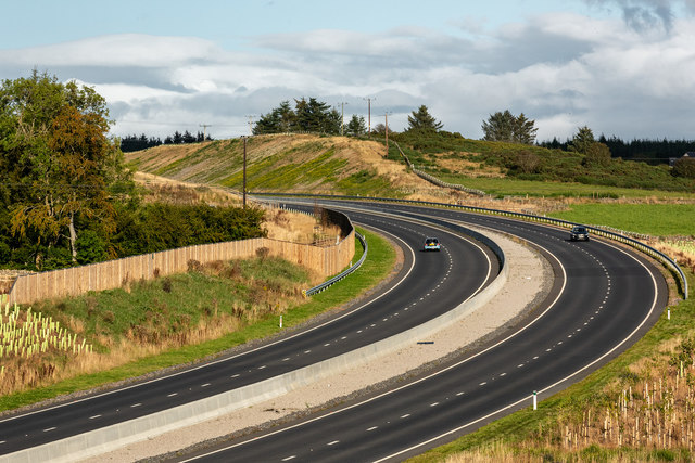
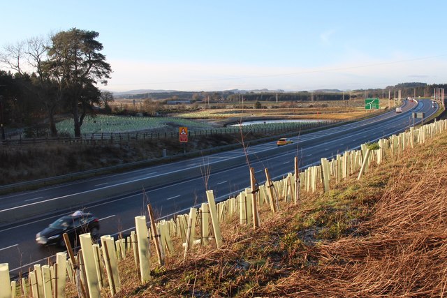
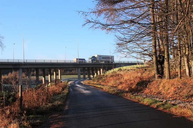
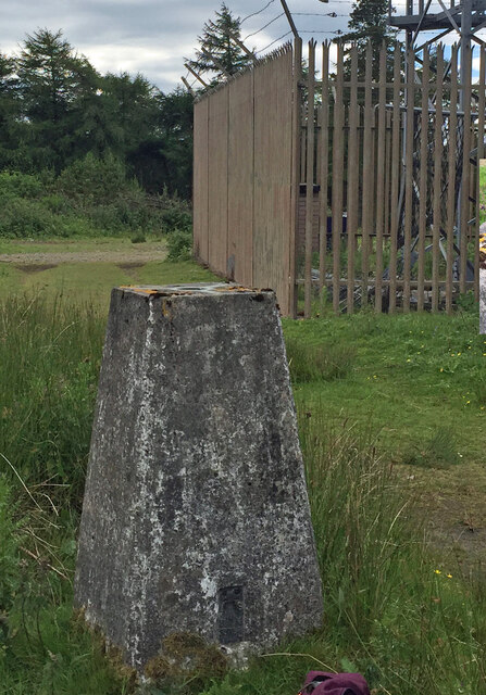
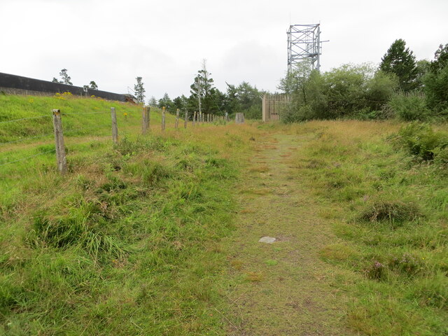
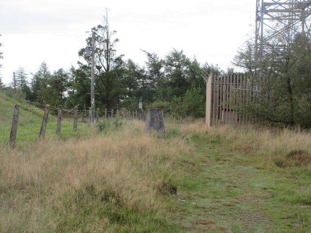
Craigingles Wood Images

Images are sourced within 2km of 57.086558/-2.1992779 or Grid Reference NO8899. Thanks to Geograph Open Source API. All images are credited.

Minor road to Bishopston With sign indicating the way to a Cheesemaker and Farm Shop.
Minor road to Bishopston
With sign indicating the way to a Cheesemaker and Farm Shop.
An iron gate Made from a cartwheel.
An iron gate
Made from a cartwheel.
A riot of colour in Storybook Glen, Maryculter
Aberdeen Western Peripheral Route This is a spur from the main AWPR that links it eastwards to the harbour and industrial zones on the south side of the city.
Aberdeen Western Peripheral Route
This is a spur from the main AWPR that links it eastwards to the harbour and industrial zones on the south side of the city.
Dyke Plus It looks as if the farmer has been dumping field boulders alongside the drystane dyke. There's no shortage of those, because the land here is covered in material dumped by the melting ice at the end of the last ice age.
Dyke Plus
It looks as if the farmer has been dumping field boulders alongside the drystane dyke. There's no shortage of those, because the land here is covered in material dumped by the melting ice at the end of the last ice age.
A956 at Burnhead The A956, Aberdeen Western Peripheral Route (AWPR) at Burnhead near the Cleanhill roundabout.
A956 at Burnhead
The A956, Aberdeen Western Peripheral Route (AWPR) at Burnhead near the Cleanhill roundabout.
Driveway to Auchlunies
A sheltered field at Craigend
Fields at Cleanhill Wood
The A956 link to Aberdeen Western Peripheral Route
New field access at Cleanhill Wood
Aberdeen Western Peripheral Route
Woodland walks by Crynoch Burn
Clochandighter Trig Point Flush Bracket S5788 Clochandighter Trig Point Flush Bracket S5788
Clochandighter Trig Point Flush Bracket S5788
The somewhat cluttered summit of Clochandighter Looking south-westward. This picture includes reservoir, communications mast and triangulation pillar.
The somewhat cluttered summit of Clochandighter
Looking south-westward. This picture includes reservoir, communications mast and triangulation pillar.
The recently re-aligned minor road near to Clochandighter Looking northward. This section of road now crosses a newly built bridge over the A956. A road built to give Aberdeen access to its by-pass - I think.
The recently re-aligned minor road near to Clochandighter
Looking northward. This section of road now crosses a newly built bridge over the A956. A road built to give Aberdeen access to its by-pass - I think.
Clochandighter Trig Pillar The triangulation pillar on Clochandighter between the reservoir and former antenna.
Clochandighter Trig Pillar
The triangulation pillar on Clochandighter between the reservoir and former antenna.
A956 westbound The A956 heading west, viewed from the C30K road Newlands Flyover.
A956 westbound
The A956 heading west, viewed from the C30K road Newlands Flyover.
Show me another place!

Craigingles Wood is located at Grid Ref: NO8899 (Lat: 57.086558, Lng: -2.1992779)

Unitary Authority: Aberdeenshire

Police Authority: North East

What 3 Words

///signal.trail.lonely. Near Milltimber, Aberdeen

Nearby Locations

Craigingles Wood

Related Wikis

Blairs College

St Mary's College, Blairs (commonly known as Blairs College), situated near Aberdeen in Scotland, was from 1829 to 1986 a junior seminary for boys and...

Kingcausie

Kingcausie is an ancient estate in lower Deeside, Scotland. Once part of the Temple lands of the Knights Templar in Scotland, it passed in the 16th century...

The Den and the Glen

The Den and the Glen (formerly known as Storybook Glen) is a children's park in Maryculter, Scotland, opened in 1984, near the city of Aberdeen. It is...

Lower Deeside

Lower Deeside is a region along the River Dee in Aberdeenshire and Aberdeen in Scotland. The boundaries of this area are subject to interpretation, since...

Nearby Amenities

Located within 500m of 57.086558,-2.1992779
Power: pole
Lat/Long: 57.0821762/-2.1974144
Power: pole
Lat/Long: 57.0828205/-2.1968714
Power: pole
Lat/Long: 57.0835593/-2.1962033
Power: pole
Lat/Long: 57.0842324/-2.1956158
Power: pole
Lat/Long: 57.0848363/-2.1953273
Power: pole
Lat/Long: 57.0854564/-2.1950347
Power: pole
Lat/Long: 57.0862044/-2.194672
Power: pole
Lat/Long: 57.0874456/-2.1942393
Power: pole
Lat/Long: 57.0880794/-2.1940017
Power: pole
Lat/Long: 57.0885634/-2.1935903
Power: pole
Lat/Long: 57.0890106/-2.1931809
The data included in this document is from www.openstreetmap.org. The data is made available under ODbL.

Have you been to Craigingles Wood?

Leave your review of Craigingles Wood below (or comments, questions and feedback).