Avenue Wood
Wood, Forest in Berwickshire
Scotland
Avenue Wood

Avenue Wood is a picturesque forest located in the county of Berwickshire, Scotland. Spread over an expansive area, this woodland is a captivating natural attraction that draws visitors from near and far. The forest is situated near the village of Avenue, and its proximity to the village makes it easily accessible for both locals and tourists.
Avenue Wood is renowned for its diverse flora and fauna, offering a haven for nature enthusiasts and wildlife lovers. The forest is primarily composed of native tree species such as oak, beech, and birch, which create a dense and enchanting canopy. The tall trees provide ample shade, making it a pleasant spot for a leisurely stroll or a peaceful picnic.
The woodland is crisscrossed by well-maintained walking trails, allowing visitors to explore its beauty at their own pace. These trails wind through the forest, offering glimpses of wildlife like red squirrels, deer, and a variety of bird species. The serene atmosphere and tranquil ambiance of Avenue Wood make it a perfect spot for birdwatching or simply immersing oneself in nature’s serenity.
In addition to its natural beauty, Avenue Wood also holds historical significance. The forest is believed to have been a part of the ancient Caledonian Forest, which covered large parts of Scotland thousands of years ago. This connection to Scotland's rich history adds an extra layer of allure to the woodland.
Overall, Avenue Wood in Berwickshire is a captivating destination for those seeking to reconnect with nature. Its stunning beauty, abundant wildlife, and historical significance make it a must-visit location for both locals and tourists alike.
If you have any feedback on the listing, please let us know in the comments section below.
Avenue Wood Images
Images are sourced within 2km of 55.792796/-2.2017194 or Grid Reference NT8755. Thanks to Geograph Open Source API. All images are credited.


Avenue Wood is located at Grid Ref: NT8755 (Lat: 55.792796, Lng: -2.2017194)
Unitary Authority: The Scottish Borders
Police Authority: The Lothians and Scottish Borders
What 3 Words
///melons.headings.matrons. Near Chirnside, Scottish Borders
Nearby Locations
Related Wikis
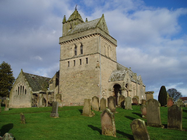
Chirnside Parish Church
Chirnside Parish Church is a kirk of the Church of Scotland. It is situated on the B6355 road between Duns and Eyemouth in the old county of Berwickshire...
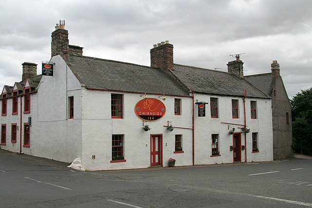
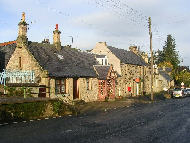
Chirnside
Chirnside is a hillside village in Berwickshire, Scotland, 9 miles (14 km) west of Berwick-upon-Tweed and 7 miles (11 km) east of Duns. == Church == The...

Chirnside United F.C.
Chirnside United Football Club, previously known as Chirnside F.C., is a Scottish amateur football club based in the village of Chirnside in the Scottish...
Allanton, Scottish Borders
Allanton (Scottish Gaelic: Baile Alain) is a small village in the Scottish Borders region of Scotland. Historically part of Berwickshire, for many years...

Hutton Castle
Hutton Castle is located in the Scottish Borders, overlooking the Whiteadder Water. It stands 2.5 kilometres (1.6 mi) southeast of Chirnside and 11 kilometres...

Allanbank, Scottish Borders
Allanbank is a village near Allanton, in the Scottish Borders area of Scotland, in the historic county of Berwickshire. Allanbank Chapel was dedicated...

Blackadder House
Blackadder House was an estate and stately house near the village of Allanton, in Berwickshire, Scotland. It was built on the site of the earlier Blackadder...
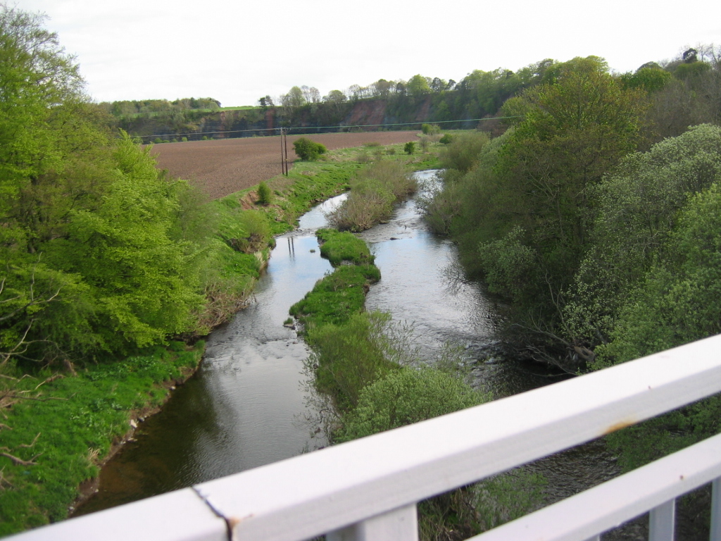
Chirnsidebridge
Chirnsidebridge is a village near Chirnside in the Scottish Borders area of Scotland, at a bridge over the Whiteadder Water on its journey towards the...
Nearby Amenities
Located within 500m of 55.792796,-2.2017194Have you been to Avenue Wood?
Leave your review of Avenue Wood below (or comments, questions and feedback).