Garvel Wood

Wood, Forest in Aberdeenshire

Scotland

Garvel Wood

Old milestone This granite milestone is on the A98 from Fraserburgh to Macduff and Banff road opposite the A950 road to New Pitsligo.  The distance is 10¾ miles.  It is known locally as the Lang Milestane.  It is marked on the 1869 OS 1st Edition map and also on the current OS 50 000.
Old milestone Credit: Bruce Keith

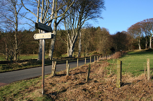
Garvel Wood is a picturesque forest located in Aberdeenshire, Scotland. Spread over an area of approximately 200 acres, it is a popular destination for nature lovers and outdoor enthusiasts. The woodland is situated near the village of Garvel, offering visitors a tranquil retreat away from the hustle and bustle of city life.

The forest is primarily composed of deciduous trees such as oak, birch, and beech, creating a vibrant and diverse ecosystem. It is home to a variety of wildlife, including deer, squirrels, and a wide range of bird species. Nature enthusiasts can spot rare and protected species within the wood, making it a haven for birdwatchers and wildlife photographers.

Garvel Wood is crisscrossed by a network of well-maintained walking trails, allowing visitors to explore the forest's beauty at their own pace. These paths take visitors through enchanting woodland, alongside babbling brooks, and past charming clearings. The forest's natural beauty changes with the seasons, with vibrant displays of wildflowers in the spring and a rich tapestry of colors in the autumn.

The wood also offers a range of recreational activities, including mountain biking, horseback riding, and picnicking. The trails are suitable for all ages and skill levels, making it an ideal destination for families looking for an outdoor adventure.

Overall, Garvel Wood in Aberdeenshire is a captivating and tranquil forest, offering visitors a chance to immerse themselves in nature's beauty and enjoy a range of outdoor activities.

If you have any feedback on the listing, please let us know in the comments section below.

Garvel Wood Images

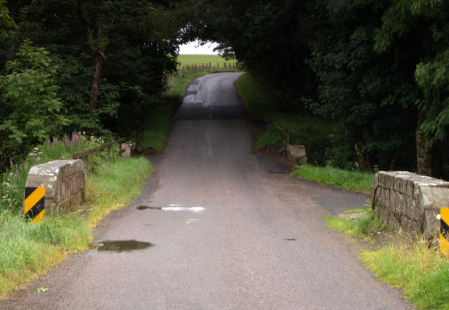
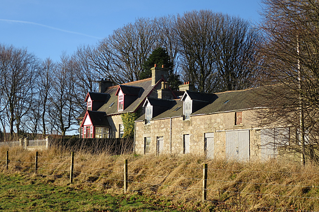
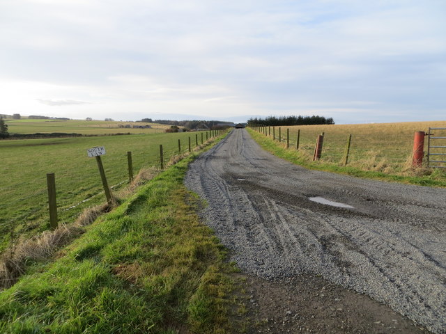
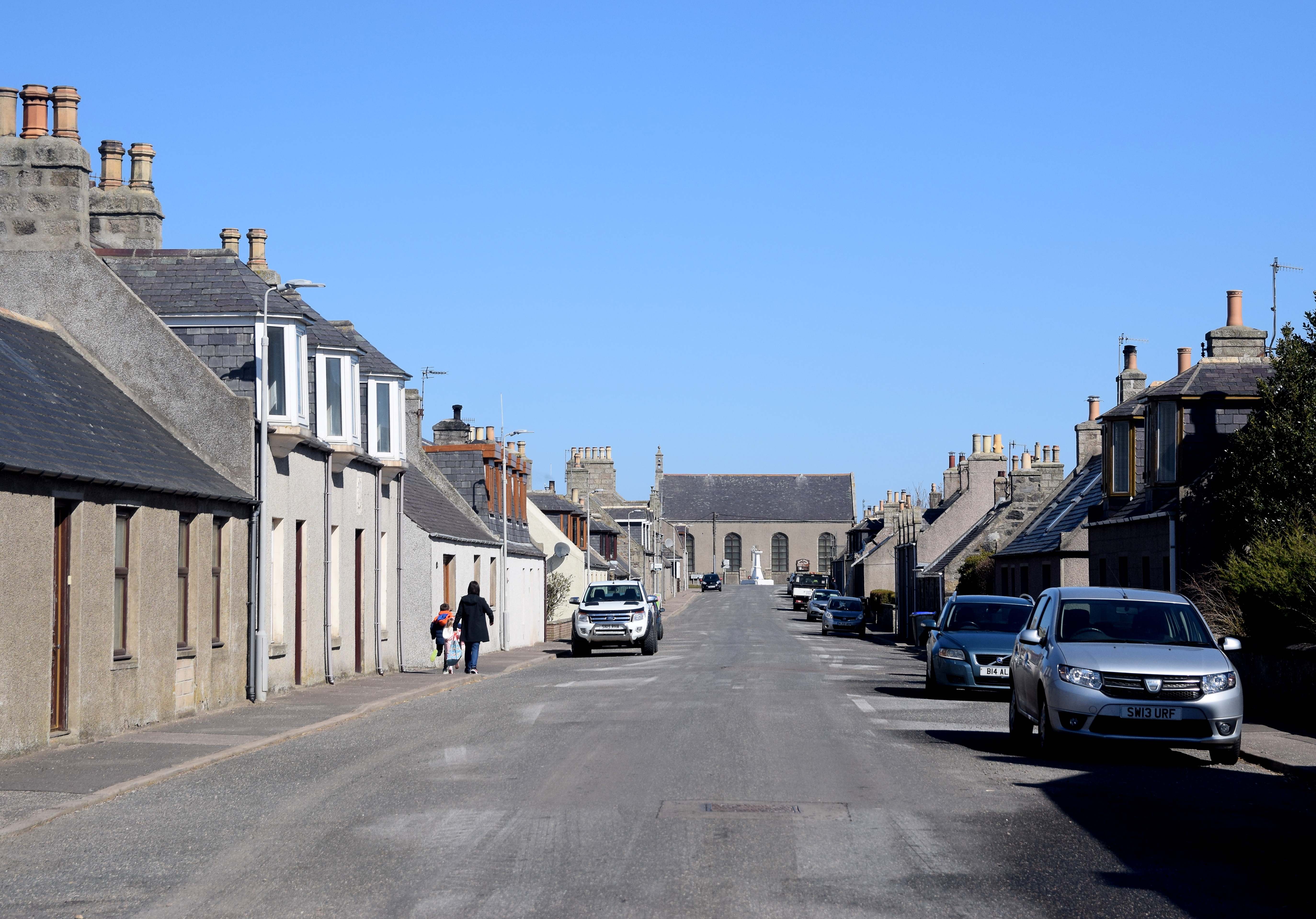
Images are sourced within 2km of 57.611734/-2.2259298 or Grid Reference NJ8657. Thanks to Geograph Open Source API. All images are credited.

Old milestone This granite milestone is on the A98 from Fraserburgh to Macduff and Banff road opposite the A950 road to New Pitsligo.  The distance is 10¾ miles.  It is known locally as the Lang Milestane.  It is marked on the 1869 OS 1st Edition map and also on the current OS 50 000.
Old milestone
This granite milestone is on the A98 from Fraserburgh to Macduff and Banff road opposite the A950 road to New Pitsligo. The distance is 10¾ miles. It is known locally as the Lang Milestane. It is marked on the 1869 OS 1st Edition map and also on the current OS 50 000.
Gonar Farm
Gonar Farm
Wetland, Bogfold The floor of a reentrant is not draining, leaving rough grassland amongst better drained sloping arable land.
Wetland, Bogfold
The floor of a reentrant is not draining, leaving rough grassland amongst better drained sloping arable land.
Yellow road, Bogfold Young woodland facing spring barley fields.
Yellow road, Bogfold
Young woodland facing spring barley fields.
Young trees, Bogfold Rows of Tuley tube.
Young trees, Bogfold
Rows of Tuley tube.
Glasslaw Burn A road bridge in a dean beneath a landscape of moors and arable farmland. There was a calling chiffchaff here.
Glasslaw Burn
A road bridge in a dean beneath a landscape of moors and arable farmland. There was a calling chiffchaff here.
Glasslaw Windswept fields and straight drains.
Glasslaw
Windswept fields and straight drains.
Small Bridge over Glasslaw Burn On the road between the Pennan junction on the B9031 and the A98. A second small bridge is just  few metres further on, crossing the Gonar Burn. The two burns then join.
Small Bridge over Glasslaw Burn
On the road between the Pennan junction on the B9031 and the A98. A second small bridge is just few metres further on, crossing the Gonar Burn. The two burns then join.
New Plantation near Glasslaw Plastic sheaths protect young saplings in regimented straight lines in a newish woodland by the road side.
New Plantation near Glasslaw
Plastic sheaths protect young saplings in regimented straight lines in a newish woodland by the road side.
Glasslaw The traditional house and farm buildings stand beside the minor road.
Glasslaw
The traditional house and farm buildings stand beside the minor road.
Nether Glasslaw Cattle peer curiously out of a byre where they are being kept for the winter months.
Nether Glasslaw
Cattle peer curiously out of a byre where they are being kept for the winter months.
Scrubland near Redmoss There's quite a lot of unimproved boggy land in the part of the country. The farm of Lachlanstrype, in the distance, is in the next square.
Scrubland near Redmoss
There's quite a lot of unimproved boggy land in the part of the country. The farm of Lachlanstrype, in the distance, is in the next square.
Northfield Animal Haven The maps mark Northfield Farm as a museum but the sign tells a slightly different story. There is a web site <span class="nowrap"><a title="http://kellycable.wixsite.com/northfieldanimalhave" rel="nofollow ugc noopener" href="http://kellycable.wixsite.com/northfieldanimalhave">Link</a><img style="margin-left:2px;" alt="External link" title="External link - shift click to open in new window" src="https://s1.geograph.org.uk/img/external.png" width="10" height="10"/></span>.
Northfield Animal Haven
The maps mark Northfield Farm as a museum but the sign tells a slightly different story. There is a web site LinkExternal link.
The lane to New Pitsligo A minor road coming from Pennan (on the coast, to the north) past Windyheads Hill. New Pitsligo is about 4 kilometres ahead.
The lane to New Pitsligo
A minor road coming from Pennan (on the coast, to the north) past Windyheads Hill. New Pitsligo is about 4 kilometres ahead.
Minor road near to Gorthfield Looking westward
Minor road near to Gorthfield
Looking westward
Track leading to Middlehill and Hillhead Looking northward.
Track leading to Middlehill and Hillhead
Looking northward.
Track to South Law Looking south-westward from the end of the public road.
Track to South Law
Looking south-westward from the end of the public road.
Track leading to West Craigmaud Looking south-eastward.
Track leading to West Craigmaud
Looking south-eastward.
Show me another place!

Garvel Wood is located at Grid Ref: NJ8657 (Lat: 57.611734, Lng: -2.2259298)

Unitary Authority: Aberdeenshire

Police Authority: North East

What 3 Words

///respected.kebab.expiring. Near New Pitsligo, Aberdeenshire

Nearby Locations

Garvel Wood

Related Wikis

New Pitsligo

New Pitsligo (Scots: Pitsligae), also known as Cavoch (locally Cyaak), is a village in Aberdeenshire, Scotland, quite near Fraserburgh. == Overview... ==

Willows Animal Sanctuary

Willows Animal Sanctuary is an animal sanctuary in Fraserburgh, Aberdeenshire, Scotland. == History == Willows Animal Sanctuary was founded, on a 54-acre...

New Aberdour

New Aberdour is a small planned village in the Aberdour parish of Aberdeenshire, Scotland, situated south of Aberdour Bay on the Moray Firth. It lies 7...

Bonnykelly

Bonnykelly is a rural area to the west of the village of New Pitsligo in Aberdeenshire, Scotland. == References ==

Nearby Amenities

Located within 500m of 57.611734,-2.2259298
Power: pole
Lat/Long: 57.6126113/-2.2211775
Power: pole
Lat/Long: 57.612969/-2.220161
Power: pole
Lat/Long: 57.6122226/-2.217605
Power: pole
Lat/Long: 57.6149159/-2.2303912
Power: pole
Lat/Long: 57.6142694/-2.2301585
Power: pole
Lat/Long: 57.613631/-2.2299127
Power: pole
Lat/Long: 57.612967/-2.2296909
Power: pole
Lat/Long: 57.6123565/-2.2294581
Power: pole
Lat/Long: 57.6118754/-2.2291537
Power: pole
Lat/Long: 57.6088964/-2.2204628
Power: pole
Lat/Long: 57.6083308/-2.220552
Power: pole
Lat/Long: 57.6089168/-2.2214198
Power: pole
Lat/Long: 57.6133485/-2.2190426
The data included in this document is from www.openstreetmap.org. The data is made available under ODbL.

Have you been to Garvel Wood?

Leave your review of Garvel Wood below (or comments, questions and feedback).