Burnside Wood

Wood, Forest in Kincardineshire

Scotland

Burnside Wood

Kirkton of Maryculter Parish Church The original building from 1786 with the south and north aisles added 1882.   The communion table inside is said to incorporate a font.   B-listed: <span class="nowrap"><a title="http://portal.historicenvironment.scot/designation/LB16486" rel="nofollow ugc noopener" href="http://portal.historicenvironment.scot/designation/LB16486">Link</a><img style="margin-left:2px;" alt="External link" title="External link - shift click to open in new window" src="https://s1.geograph.org.uk/img/external.png" width="10" height="10"/></span> .
Kirkton of Maryculter Parish Church Credit: Bill Harrison

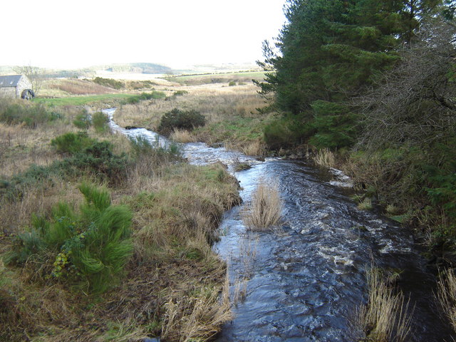
Burnside Wood, located in Kincardineshire, Scotland, is a captivating woodland area renowned for its natural beauty and diverse ecosystem. Covering an area of approximately 100 hectares, the wood is nestled along the banks of the River Dee and offers a peaceful retreat for nature enthusiasts and hikers alike.

The wood is predominantly composed of native broadleaf trees, such as oak, birch, and rowan, which create a rich and varied habitat for flora and fauna. The dense canopy provides shelter for a multitude of bird species, including woodpeckers, owls, and songbirds, making it a haven for birdwatchers.

A network of well-maintained walking trails weaves through the wood, offering visitors the opportunity to explore its enchanting surroundings. The paths wind through picturesque glades, carpeted with bluebells and wildflowers during the spring months. In autumn, the forest is transformed into a kaleidoscope of colors as the leaves change, creating a breathtaking spectacle.

The wood is also home to a diverse range of wildlife, including red squirrels, badgers, and roe deer. Keen-eyed visitors may also catch a glimpse of elusive creatures such as pine martens and otters.

Burnside Wood is managed by local conservation organizations, who work tirelessly to preserve its natural beauty and protect its delicate ecosystem. They organize educational programs and events to promote environmental awareness and encourage responsible visitor behavior.

Whether you seek tranquility, wildlife spotting, or simply an escape into nature, Burnside Wood offers a captivating experience that showcases the splendor of Scotland's woodlands.

If you have any feedback on the listing, please let us know in the comments section below.

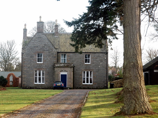
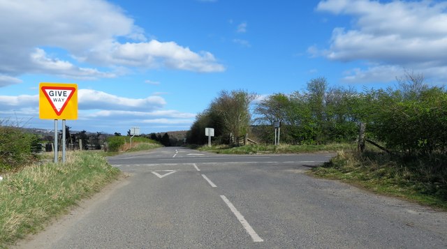
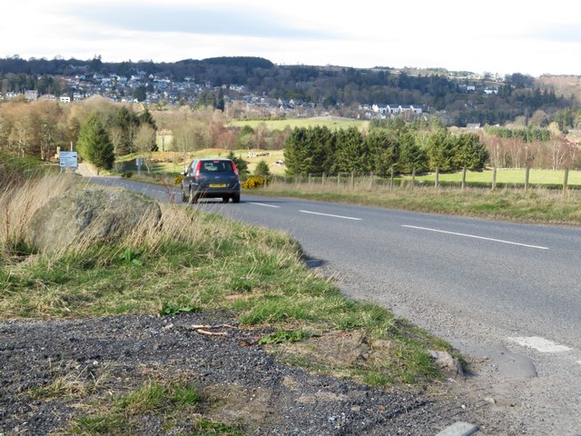
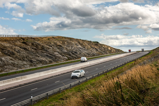
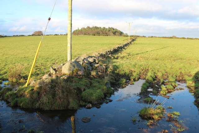
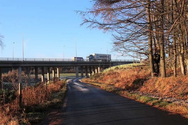
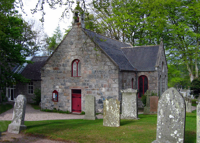
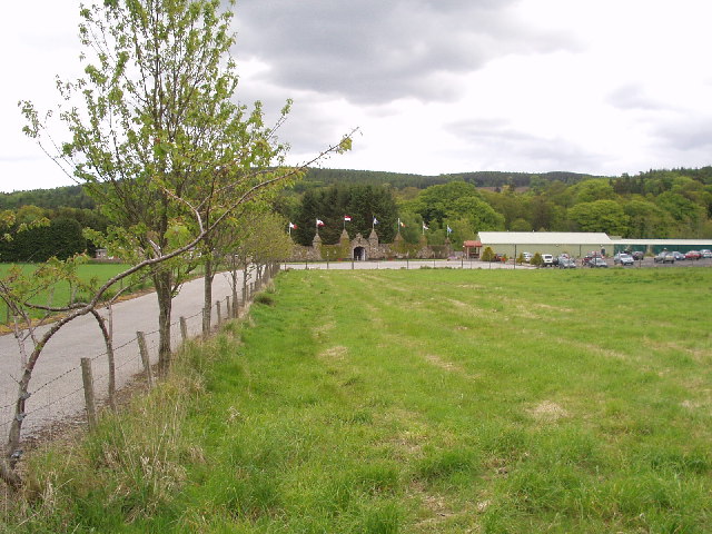
Burnside Wood Images

Images are sourced within 2km of 57.07/-2.2415735 or Grid Reference NO8597. Thanks to Geograph Open Source API. All images are credited.

Kirkton of Maryculter Parish Church The original building from 1786 with the south and north aisles added 1882.   The communion table inside is said to incorporate a font.   B-listed: <span class="nowrap"><a title="http://portal.historicenvironment.scot/designation/LB16486" rel="nofollow ugc noopener" href="http://portal.historicenvironment.scot/designation/LB16486">Link</a><img style="margin-left:2px;" alt="External link" title="External link - shift click to open in new window" src="https://s1.geograph.org.uk/img/external.png" width="10" height="10"/></span> .
Kirkton of Maryculter Parish Church
The original building from 1786 with the south and north aisles added 1882. The communion table inside is said to incorporate a font. B-listed: LinkExternal link .
View of a theme park The entrance to 'The Den and Glen' family theme park, as seen from the kirkyard of Maryculter Church.
View of a theme park
The entrance to 'The Den and Glen' family theme park, as seen from the kirkyard of Maryculter Church.
Camp Cottage, Kirkton of Maryculter The former village schoolroom (possibly closed 2006?)
Camp Cottage, Kirkton of Maryculter
The former village schoolroom (possibly closed 2006?)
The auld manse, Kirkton of Maryculter Built ca. 1868, now in private hands.
The auld manse, Kirkton of Maryculter
Built ca. 1868, now in private hands.
A riot of colour in Storybook Glen, Maryculter
Stobhall House On minor road near Parkhead.
Stobhall House
On minor road near Parkhead.
Farm Building, Stony Hill Metal barn, with farm machinery.
Farm Building, Stony Hill
Metal barn, with farm machinery.
Minor road junction with B979 From Stony Hill.
Minor road junction with B979
From Stony Hill.
Downhill B979 to join South Deeside Road (B9077) From a minor crossroad.
Downhill B979 to join South Deeside Road (B9077)
From a minor crossroad.
Minor road junction off B979 Signposted to Nether Ashentilly; closer access to Mains of Altries.
Minor road junction off B979
Signposted to Nether Ashentilly; closer access to Mains of Altries.
A90 - cutting east of Stranog Hill Cutting east of Stranog Hill on the A90, Aberdeen Western Peripheral Route (AWPR)
A90 - cutting east of Stranog Hill
Cutting east of Stranog Hill on the A90, Aberdeen Western Peripheral Route (AWPR)
A90 south of the Cleanhill junction South of the Cleanhill junction on the A90, Aberdeen Western Peripheral Route (AWPR)
A90 south of the Cleanhill junction
South of the Cleanhill junction on the A90, Aberdeen Western Peripheral Route (AWPR)
Wooded farmland at Standingstones, Maryculter
Drystone field boundaries at Mains of Altries
Drystane dyke near Mains of Altries
Pine wood at the entry to Mains of Altries
Access road to Mains of Altries The drystone dyke is well covered by moss due to its northern aspect and the tree shade.
Access road to Mains of Altries
The drystone dyke is well covered by moss due to its northern aspect and the tree shade.
Aberdeen Western Peripheral Route
Show me another place!

Burnside Wood is located at Grid Ref: NO8597 (Lat: 57.07, Lng: -2.2415735)

Unitary Authority: Aberdeenshire

Police Authority: North East

What 3 Words

///against.leave.tradition. Near Peterculter, Aberdeen

Nearby Locations

Burnside Wood

Related Wikis

Oldman Wood

Oldman Wood is a publicly owned forest in Kincardineshire, Scotland. Crynoch Burn, a tributary of the River Dee, flows through the Oldman Wood. == References ==

Maryculter

Maryculter () or Kirkton of Maryculter is a village in the Lower Deeside area of Aberdeenshire, Scotland. The River Dee separates it from the town of...

The Den and the Glen

The Den and the Glen (formerly known as Storybook Glen) is a children's park in Maryculter, Scotland, opened in 1984, near the city of Aberdeen. It is...

Cairnie Burn

Cairnie Burn is a stream that rises in the Mounth, or eastern range of the Grampian Mountains, north of Netherley, Aberdeenshire, Scotland. Cairnie Burn...

Maryculter House

Maryculter House is a historic house in the village of Maryculter, or Kirkton of Maryculter, in the Lower Deeside area of Aberdeenshire, Scotland. ��2...

Kingcausie

Kingcausie is an ancient estate in lower Deeside, Scotland. Once part of the Temple lands of the Knights Templar in Scotland, it passed in the 16th century...

Crynoch Burn

Crynoch Burn is a stream in Aberdeenshire that is a tributary to the River Dee. This stream rises somewhat above Netherley and flows near Netherley House...

Normandykes

Normandykes (Grid Reference: NO 830994) is the site of a Roman marching camp 1 mile (1.6 km) to the southwest of Peterculter, City of Aberdeen, Scotland...

Nearby Amenities

Located within 500m of 57.07,-2.2415735
Power: pole
Lat/Long: 57.07308/-2.2456541
Power: pole
Lat/Long: 57.0734013/-2.2374376
Power: pole
Lat/Long: 57.0732407/-2.2388511
Power: pole
Lat/Long: 57.0730872/-2.2402424
Power: pole
Lat/Long: 57.0729181/-2.2417159
Power: pole
Lat/Long: 57.0727864/-2.2429605
Power: pole
Lat/Long: 57.0728927/-2.2439717
Power: pole
Lat/Long: 57.0724929/-2.2470187
Power: pole
Lat/Long: 57.071948/-2.2484945
Power: pole
Lat/Long: 57.0719287/-2.2482922
Power: pole
Lat/Long: 57.0712509/-2.2480633
Power: pole
Lat/Long: 57.0705502/-2.2478255
Power: pole
Lat/Long: 57.0700633/-2.247661
Power: pole
Lat/Long: 57.069365/-2.2477633
Power: pole
Lat/Long: 57.0686727/-2.2478922
Power: pole
Lat/Long: 57.0680166/-2.2479988
Power: pole
Lat/Long: 57.0684921/-2.2368965
Power: pole
Lat/Long: 57.0688267/-2.2361941
Power: pole
Lat/Long: 57.0691717/-2.235463
Power: pole
Lat/Long: 57.0691916/-2.2347062
Power: pole
Lat/Long: 57.0692176/-2.234005
Power: pole
Lat/Long: 57.0700833/-2.2459486
Power: pole
Lat/Long: 57.0657058/-2.2430772
Power: pole
Lat/Long: 57.0658152/-2.2444418
Power: pole
Lat/Long: 57.0662683/-2.2446862
Power: pole
Lat/Long: 57.066719/-2.2449485
Power: pole
Lat/Long: 57.0671866/-2.2450241
Power: pole
Lat/Long: 57.0676819/-2.2451085
Power: pole
Lat/Long: 57.068367/-2.245333
Power: pole
Lat/Long: 57.0690811/-2.2455952
The data included in this document is from www.openstreetmap.org. The data is made available under ODbL.

Have you been to Burnside Wood?

Leave your review of Burnside Wood below (or comments, questions and feedback).