Bisset's Wood

Wood, Forest in Kincardineshire

Scotland

Bisset's Wood

Dual Carriageway/Minor road junction Where a narrow country road meets the A90 near Lampool just south of Stonehaven.
Dual Carriageway/Minor road junction Credit: Liz Gray

Bisset's Wood is a beautiful forest located in Kincardineshire, Scotland. It covers an area of approximately 500 hectares and is known for its diverse range of flora and fauna. The wood is situated near the town of Banchory and is easily accessible by both car and public transportation.

The forest is predominantly made up of native Scottish tree species, including oak, birch, and pine, creating a stunning and varied landscape. The trees provide a habitat for a wide range of wildlife, including red squirrels, roe deer, and a variety of bird species such as woodpeckers and owls.

Bisset's Wood offers a range of recreational activities for visitors to enjoy. There are numerous walking trails winding through the forest, allowing visitors to explore the natural beauty at their own pace. These trails vary in difficulty, catering to both casual walkers and more experienced hikers.

In addition to walking, the forest also offers opportunities for cycling, horseback riding, and wildlife spotting. There are designated picnic areas and viewpoints throughout the wood, providing visitors with the perfect spots to relax and take in the stunning surroundings.

The management of Bisset's Wood is focused on maintaining and enhancing the natural habitat for wildlife while also providing a safe and enjoyable environment for visitors. Conservation efforts are in place to protect the native species and promote biodiversity within the forest.

Overall, Bisset's Wood is a haven for nature enthusiasts, offering a tranquil and picturesque setting for outdoor activities and wildlife appreciation. It is a must-visit destination for anyone looking to immerse themselves in the beauty of Scotland's natural landscapes.

If you have any feedback on the listing, please let us know in the comments section below.

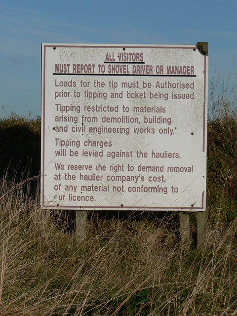
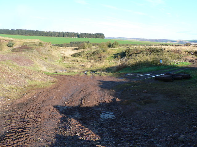
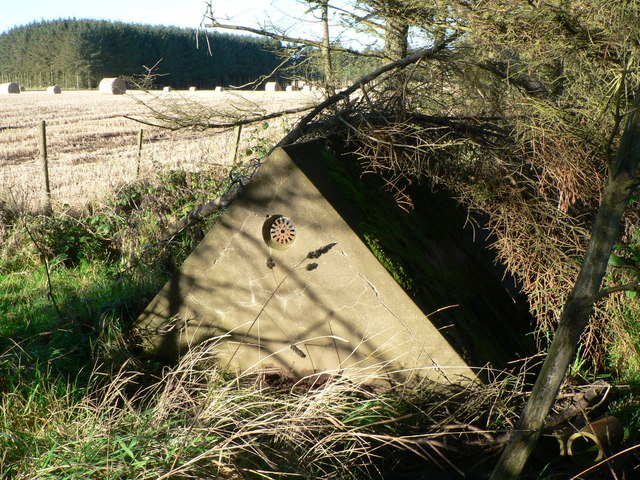
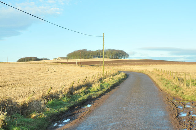
Bisset's Wood Images

Images are sourced within 2km of 56.93265/-2.2486205 or Grid Reference NO8482. Thanks to Geograph Open Source API. All images are credited.

Dual Carriageway/Minor road junction Where a narrow country road meets the A90 near Lampool just south of Stonehaven.
Dual Carriageway/Minor road junction
Where a narrow country road meets the A90 near Lampool just south of Stonehaven.
Farm track & buildings Farm buildings at Lampool and the track that goes to Lochburn
Farm track & buildings
Farm buildings at Lampool and the track that goes to Lochburn
Tractor Track Rough farm track between Lampool & Lochburn
Tractor Track
Rough farm track between Lampool & Lochburn
Tipping Regulations sign Disused Pit on the track between Lampool & Lochburn.
Tipping Regulations sign
Disused Pit on the track between Lampool & Lochburn.
Disused pit Old tipping ground on a farm track between Lampool & Lochburn
Disused pit
Old tipping ground on a farm track between Lampool & Lochburn
Water Tank There is a door at the back of this roof shape that appears to have no sides.  It was too dark but I think all this structure contains is water.
Water Tank
There is a door at the back of this roof shape that appears to have no sides. It was too dark but I think all this structure contains is water.
Feeding Cattle Hay bale holder in grass field (park) providing winter feeding for cattle
Feeding Cattle
Hay bale holder in grass field (park) providing winter feeding for cattle
Wood of Newton A hilltop wood.
Wood of Newton
A hilltop wood.
Minor road, Gallaton
At the turnoff for Auquirie
Minor road past Wood of Newton
Wind break near East Mains of Barras
Minor road near Barras
Wind break near Crossgates Farm
Ruined cottage near Crossgates
Road junction near Barras
Minor road at Briggs of Criggie
Minor road near Muir of Barras Despite appearances this is a public road.
Minor road near Muir of Barras
Despite appearances this is a public road.
Show me another place!

Bisset's Wood is located at Grid Ref: NO8482 (Lat: 56.93265, Lng: -2.2486205)

Unitary Authority: Aberdeenshire

Police Authority: North East

What 3 Words

///legal.overlaps.longer. Near Stonehaven, Aberdeenshire

Related Wikis

Nearby Amenities

Located within 500m of 56.93265,-2.2486205
East Crollstack
Place: isolated_dwelling
Lat/Long: 56.9288922/-2.2519224
Power: pole
Lat/Long: 56.9304332/-2.2552742
Power: pole
Lat/Long: 56.9302658/-2.2540989
Power: pole
Lat/Long: 56.9300593/-2.2526109
Power: pole
Lat/Long: 56.9299223/-2.2516667
Power: pole
Lat/Long: 56.9297353/-2.2504057
Power: pole
Lat/Long: 56.9295603/-2.2491388
Power: pole
Lat/Long: 56.9293734/-2.2477961
Power: pole
Lat/Long: 56.9292462/-2.2469216
Power: pole
Lat/Long: 56.9292712/-2.2458698
Power: pole
Lat/Long: 56.9292951/-2.2447842
Power: pole
Lat/Long: 56.9293125/-2.2437384
Power: pole
Lat/Long: 56.9293951/-2.2515013
Power: pole
Lat/Long: 56.9288712/-2.25133
Power: pole
Lat/Long: 56.9286549/-2.2449176
Power: pole
Lat/Long: 56.9354046/-2.2549675
Power: pole
Lat/Long: 56.934984/-2.2540252
Power: pole
Lat/Long: 56.9345613/-2.2530491
Power: pole
Lat/Long: 56.9341374/-2.2520989
Power: pole
Lat/Long: 56.9337505/-2.2512085
Power: pole
Lat/Long: 56.9330994/-2.2512125
Power: pole
Lat/Long: 56.932481/-2.2512344
Power: pole
Lat/Long: 56.9318875/-2.2512503
Power: pole
Lat/Long: 56.9312832/-2.2512942
Power: pole
Lat/Long: 56.9306734/-2.2512822
The data included in this document is from www.openstreetmap.org. The data is made available under ODbL.

Have you been to Bisset's Wood?

Leave your review of Bisset's Wood below (or comments, questions and feedback).