Langhills Wood

Wood, Forest in Kincardineshire

Scotland

Langhills Wood

Ruined farm building, Raedykes Roman Camp Note optical illusion in looking through ruin doorway: Plants growing atop lintel appear to be trees on ridge, making it appear to have sky below the ridgeline!
Ruined farm building, Raedykes Roman Camp Credit: C Michael Hogan

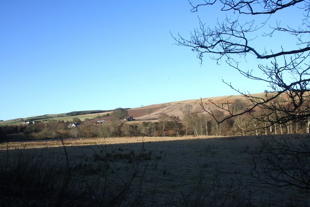
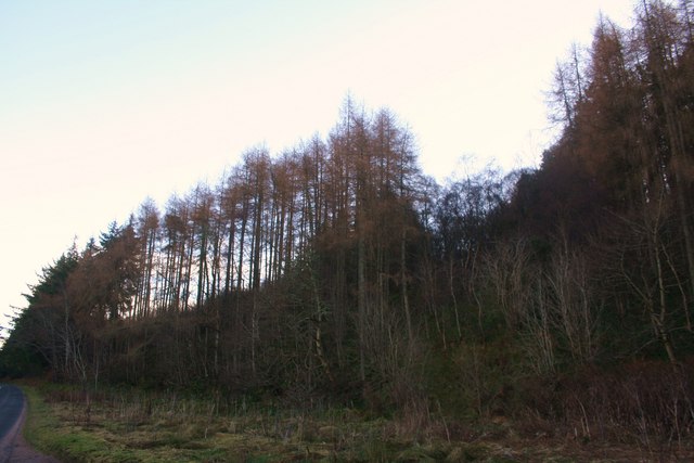
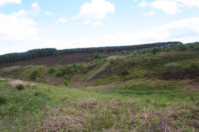
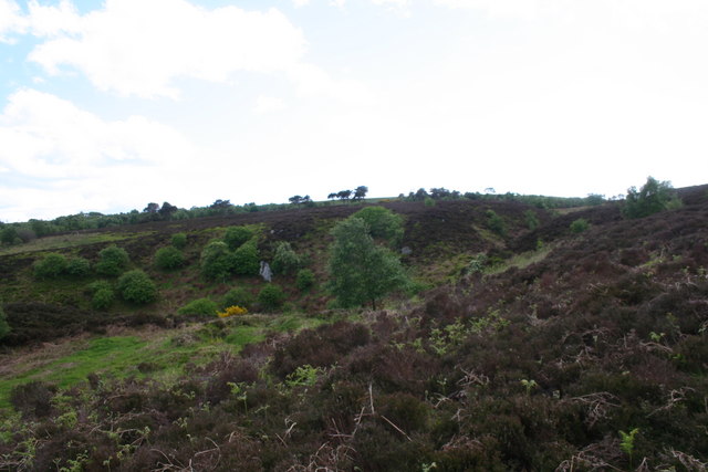
Langhills Wood is a picturesque forest located in the county of Kincardineshire, Scotland. Spanning over a vast area, it is well-known for its enchanting beauty and diverse flora and fauna. The wood is situated near the small village of Langhills, which adds to its peaceful and tranquil ambiance.

The woodland is predominantly composed of native tree species such as oak, birch, and beech, which create a dense canopy that filters sunlight and creates a cool and shaded environment. The forest floor is covered with a thick carpet of moss, ferns, and wildflowers, providing a rich habitat for numerous small mammals, birds, and insects.

Langhills Wood is crisscrossed with well-marked trails and footpaths, making it a popular destination for nature enthusiasts and hikers. The paths wind through the forest, offering breathtaking views of towering trees, babbling brooks, and occasional glimpses of wildlife. The area is also home to a variety of bird species, including woodpeckers, owls, and songbirds, making it a haven for birdwatchers.

In addition to its natural beauty, Langhills Wood also has historical significance. It is believed that the wood has been a part of the local landscape for centuries, providing resources for the surrounding communities and serving as a source of inspiration for artists and writers.

Overall, Langhills Wood in Kincardineshire is a place of natural wonder and tranquility. Its lush vegetation, diverse wildlife, and rich history make it a must-visit destination for those seeking solace in nature.

If you have any feedback on the listing, please let us know in the comments section below.

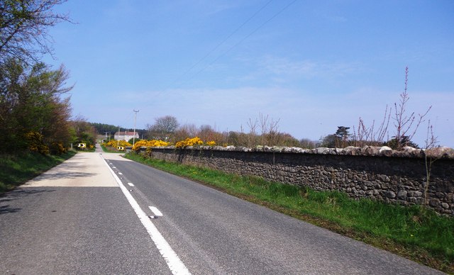
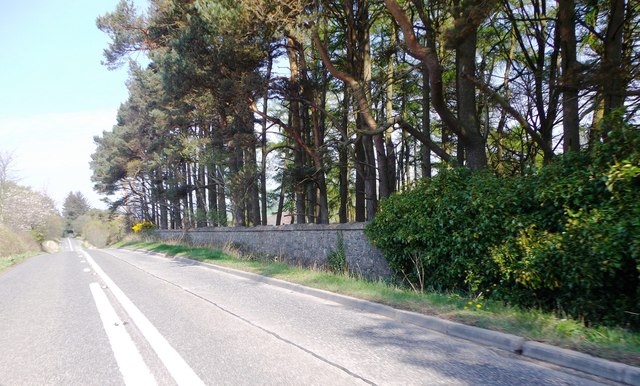
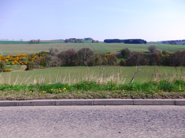
Langhills Wood Images

Images are sourced within 2km of 56.988518/-2.2613681 or Grid Reference NO8488. Thanks to Geograph Open Source API. All images are credited.

Ruined farm building, Raedykes Roman Camp Note optical illusion in looking through ruin doorway: Plants growing atop lintel appear to be trees on ridge, making it appear to have sky below the ridgeline!
Ruined farm building, Raedykes Roman Camp
Note optical illusion in looking through ruin doorway: Plants growing atop lintel appear to be trees on ridge, making it appear to have sky below the ridgeline!
Junction for West Raedykes Off Cowton to Auquhollie road.
Junction for West Raedykes
Off Cowton to Auquhollie road.
Track to West Raedykes
Pastorale Near Union Cottage.
Pastorale
Near Union Cottage.
Near Raedykes The map suggests that there are remains here of a Roman camp, possibly including the line of wall to the left of this view.
Near Raedykes
The map suggests that there are remains here of a Roman camp, possibly including the line of wall to the left of this view.
The View from Broomhill The view is extensive, if not spectacular. The hill on the skyline is the Hill of Allochie, and the bowl in between is drained by the headwaters of the Burn of Monboys.
The View from Broomhill
The view is extensive, if not spectacular. The hill on the skyline is the Hill of Allochie, and the bowl in between is drained by the headwaters of the Burn of Monboys.
Near Broomhill Looking over the rather featureless moorland which contains the headwaters of the Burn of Monboys.
Near Broomhill
Looking over the rather featureless moorland which contains the headwaters of the Burn of Monboys.
Broomhill The cottages at Broomhill.
Broomhill
The cottages at Broomhill.
Cowie Strath Fields, in shadow, by the meanders of the Cowie with Nether Findlayson behind.
Cowie Strath
Fields, in shadow, by the meanders of the Cowie with Nether Findlayson behind.
Cheynehill Wood Woodland by the A957.
Cheynehill Wood
Woodland by the A957.
Glenton Dip A small depression before the Glenton Belt.
Glenton Dip
A small depression before the Glenton Belt.
Glenton Belt The Glenton Belt on Cheynehill.
Glenton Belt
The Glenton Belt on Cheynehill.
Ury House, near Stonehaven Long-anticipated restoration seems to have commenced.
Ury House, near Stonehaven
Long-anticipated restoration seems to have commenced.
Drystone wall at the edge of an immense grassy field
A dog-leg bend in the A957  to Banchory Skirting around the perimeter wall of Ury Estate. The track ahead at the corner of the main road leads to Highfield.
A dog-leg bend in the A957 to Banchory
Skirting around the perimeter wall of Ury Estate. The track ahead at the corner of the main road leads to Highfield.
Ury Hill Lodge Footpath entry to Ury House from A957.
Ury Hill Lodge
Footpath entry to Ury House from A957.
The A957 around the western edge of Ury Estate Where the road summits/plateaus alongside the estate boundary wall, before dipping down to cross the Cowie Water via the Findlayston Bridge.
The A957 around the western edge of Ury Estate
Where the road summits/plateaus alongside the estate boundary wall, before dipping down to cross the Cowie Water via the Findlayston Bridge.
View NNE over valley of Water of Cowie And Ury Estate towards the Hauff of Ury - an old burial ground on the skyline eminence in centre shot <a href="https://www.geograph.org.uk/gridref/NO855889">NO855889</a>.
View NNE over valley of Water of Cowie
And Ury Estate towards the Hauff of Ury - an old burial ground on the skyline eminence in centre shot NO855889.
Show me another place!

Langhills Wood is located at Grid Ref: NO8488 (Lat: 56.988518, Lng: -2.2613681)

Unitary Authority: Aberdeenshire

Police Authority: North East

What 3 Words

///push.discussed.craziest. Near Stonehaven, Aberdeenshire

Nearby Locations

Glen Garron Langhills Wood

Related Wikis

Cowton Burn

Cowton Burn is a stream that rises in the Mounth, or eastern range of the Grampian Mountains, on some of the northwest slopes of the Durris Forest west...

Rickarton House

Rickarton House is a 19th-century country house in Kincardineshire, Scotland. It lies approximately three-and-a-half miles northwest of Stonehaven in the...
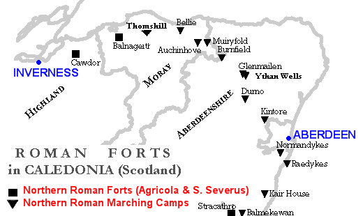
Raedykes

Raedykes is the site of a Roman marching camp located just over three miles (five kilometres) northwest of Stonehaven, Aberdeenshire, Scotland. National...
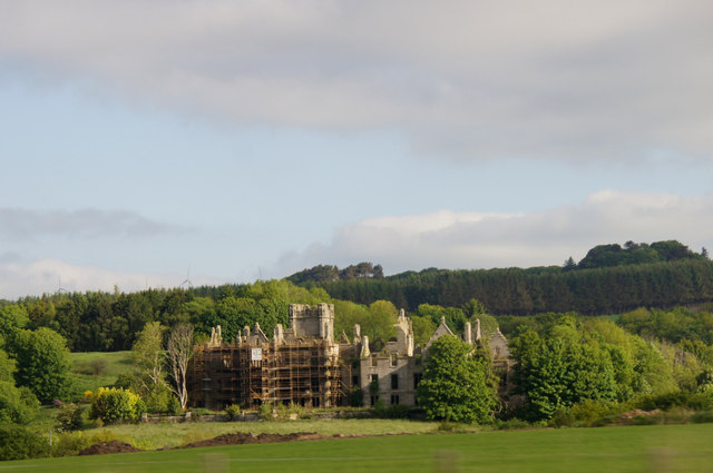
Ury House

Ury House is a large ruined mansion in Aberdeenshire, Scotland, built in the Elizabethan style in 1885 by Sir Alexander Baird, 1st Baronet. It is situated...

Nearby Amenities

Located within 500m of 56.988518,-2.2613681
Parking
Access: yes
Fee: no
Parking: surface
Lat/Long: 56.9849345/-2.2578493
Power: pole
Lat/Long: 56.9915948/-2.262112
Power: pole
Lat/Long: 56.9908279/-2.2625762
Material: wood
Power: pole
Lat/Long: 56.9901648/-2.2629896
Material: wood
Power: pole
Lat/Long: 56.9897923/-2.2632155
Power: pole
Lat/Long: 56.9884342/-2.2588816
Power: pole
Lat/Long: 56.9887993/-2.2600773
Power: pole
Lat/Long: 56.9892028/-2.2608411
Power: pole
Lat/Long: 56.9893628/-2.2615004
Power: pole
Lat/Long: 56.9895721/-2.2623595
Material: wood
Power: pole
Lat/Long: 56.9900016/-2.2641237
Material: wood
Power: pole
Lat/Long: 56.9902142/-2.264992
Power: pole
Lat/Long: 56.9906153/-2.2665581
Power: pole
Lat/Long: 56.9908237/-2.2674817
Power: pole
Lat/Long: 56.9909527/-2.2681518
The data included in this document is from www.openstreetmap.org. The data is made available under ODbL.

Have you been to Langhills Wood?

Leave your review of Langhills Wood below (or comments, questions and feedback).