Cheynehill Wood

Wood, Forest in Kincardineshire

Scotland

Cheynehill Wood

Cowie Strath Fields, in shadow, by the meanders of the Cowie with Nether Findlayson behind.
Cowie Strath Credit: Andrew Wood

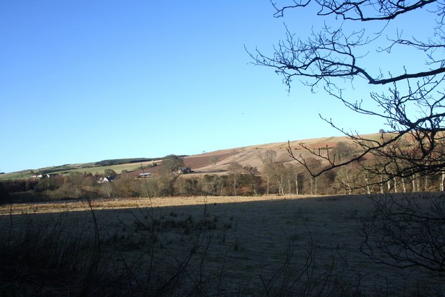
Cheynehill Wood is a picturesque woodland located in the region of Kincardineshire, Scotland. Covering an area of approximately 100 acres, it is a haven for nature enthusiasts and outdoor adventurers alike.

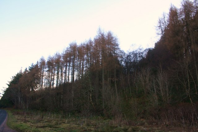
The wood is predominantly made up of native broadleaf trees, including oak, birch, and beech, which create a vibrant and diverse ecosystem. The dense canopy of the trees provides shade and shelter for a variety of flora and fauna, making it an ideal habitat for numerous bird species, small mammals, and insects.

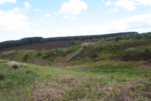
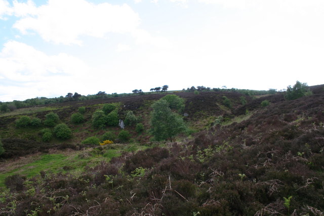
Visitors to Cheynehill Wood can enjoy a network of well-maintained walking trails that wind their way through the forest. These trails offer stunning views of the surrounding countryside, including rolling hills and meandering streams. The wood is also home to a small, tranquil pond, which attracts a variety of water-dwelling creatures and provides a serene spot for relaxation.

For those interested in wildlife spotting, Cheynehill Wood offers plenty of opportunities to observe woodland birds, such as woodpeckers, owls, and various songbirds. The forest floor is also teeming with life, with wildflowers, ferns, and fungi adding splashes of color and texture throughout the seasons.

Cheynehill Wood is easily accessible by car, with ample parking available nearby. It is a popular destination for families, nature lovers, and hikers looking to immerse themselves in the beauty of the Scottish countryside. Whether it's a leisurely stroll, a birdwatching expedition, or simply a peaceful escape from the hustle and bustle of everyday life, Cheynehill Wood offers a truly enchanting experience for all who visit.

If you have any feedback on the listing, please let us know in the comments section below.

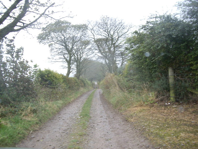
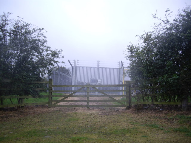
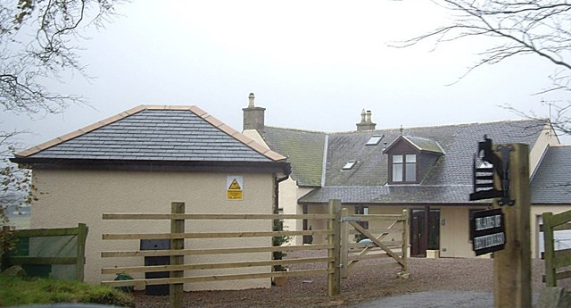
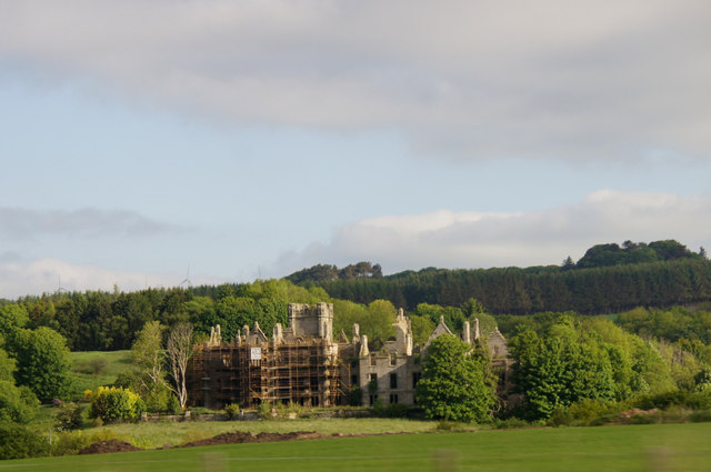
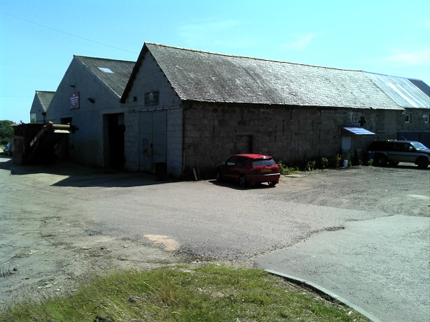
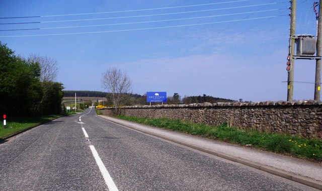
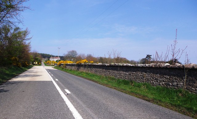
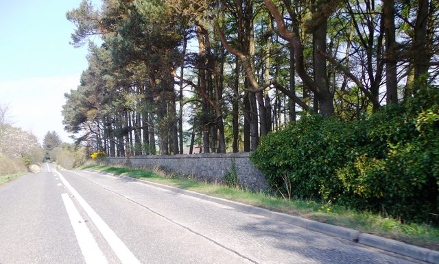
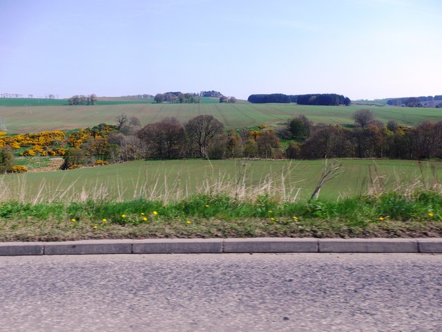
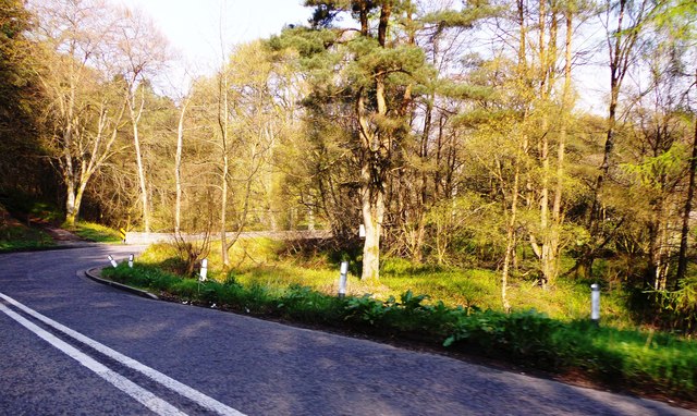
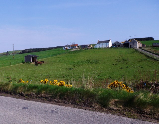
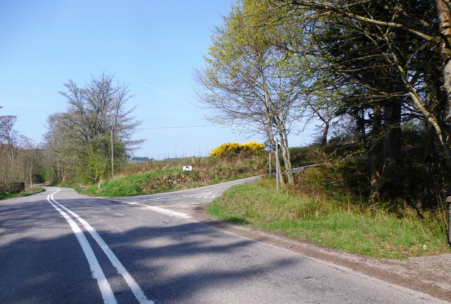
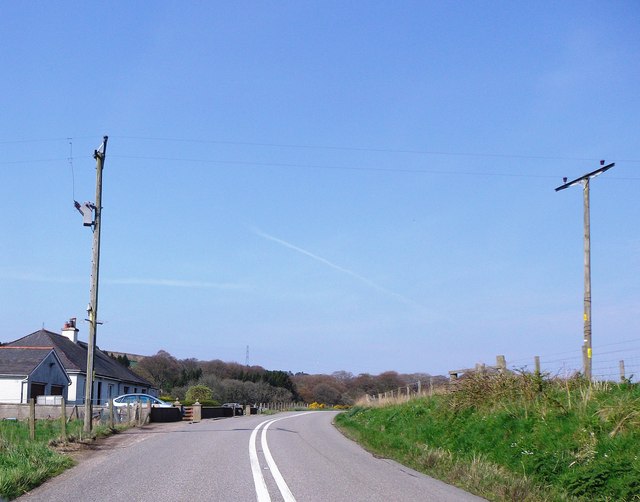
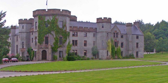
Cheynehill Wood Images

Images are sourced within 2km of 56.982576/-2.2633337 or Grid Reference NO8487. Thanks to Geograph Open Source API. All images are credited.

Cowie Strath Fields, in shadow, by the meanders of the Cowie with Nether Findlayson behind.
Cowie Strath
Fields, in shadow, by the meanders of the Cowie with Nether Findlayson behind.
Cheynehill Wood Woodland by the A957.
Cheynehill Wood
Woodland by the A957.
Glenton Dip A small depression before the Glenton Belt.
Glenton Dip
A small depression before the Glenton Belt.
Glenton Belt The Glenton Belt on Cheynehill.
Glenton Belt
The Glenton Belt on Cheynehill.
Lane to North Lodge, Fetteresso
Gas Monitor enclosure Near North Lodge, Fetteresso Castle.
Gas Monitor enclosure
Near North Lodge, Fetteresso Castle.
Blairs of Fetteresso
Ury House, near Stonehaven Long-anticipated restoration seems to have commenced.
Ury House, near Stonehaven
Long-anticipated restoration seems to have commenced.
Industrial buildings along the Slug Road These industrial buildings at the northwest outskirts of Stonehaven are a landmark for the turnoff from the A957 Road to the Redcloak recycling centre.
Industrial buildings along the Slug Road
These industrial buildings at the northwest outskirts of Stonehaven are a landmark for the turnoff from the A957 Road to the Redcloak recycling centre.
A957 heading NW off its viaduct over the A90 With the Ury Estate over the stone wall on the right.
A957 heading NW off its viaduct over the A90
With the Ury Estate over the stone wall on the right.
A dog-leg bend in the A957  to Banchory Skirting around the perimeter wall of Ury Estate. The track ahead at the corner of the main road leads to Highfield.
A dog-leg bend in the A957 to Banchory
Skirting around the perimeter wall of Ury Estate. The track ahead at the corner of the main road leads to Highfield.
Ury Hill Lodge Footpath entry to Ury House from A957.
Ury Hill Lodge
Footpath entry to Ury House from A957.
The A957 around the western edge of Ury Estate Where the road summits/plateaus alongside the estate boundary wall, before dipping down to cross the Cowie Water via the Findlayston Bridge.
The A957 around the western edge of Ury Estate
Where the road summits/plateaus alongside the estate boundary wall, before dipping down to cross the Cowie Water via the Findlayston Bridge.
View NNE over valley of Water of Cowie And Ury Estate towards the Hauff of Ury - an old burial ground on the skyline eminence in centre shot <a href="https://www.geograph.org.uk/gridref/NO855889">NO855889</a>.
View NNE over valley of Water of Cowie
And Ury Estate towards the Hauff of Ury - an old burial ground on the skyline eminence in centre shot NO855889.
Approaching Findlayston Bridge on A957 Where road to Banchory crosses Water of Cowie.
Approaching Findlayston Bridge on A957
Where road to Banchory crosses Water of Cowie.
Paddock and stable at Findlayston farm Seen from the A957.
Paddock and stable at Findlayston farm
Seen from the A957.
Road junction near Mowtie Where minor road to Raedykes Roman Camp leaves A957 from Stonehaven.
Road junction near Mowtie
Where minor road to Raedykes Roman Camp leaves A957 from Stonehaven.
Bend in A957 below Cowton With a pair of cottages on left, backing onto the Cowton Burn.
Bend in A957 below Cowton
With a pair of cottages on left, backing onto the Cowton Burn.
Show me another place!

Cheynehill Wood is located at Grid Ref: NO8487 (Lat: 56.982576, Lng: -2.2633337)

Unitary Authority: Aberdeenshire

Police Authority: North East

What 3 Words

///enlighten.cherish.attic. Near Stonehaven, Aberdeenshire

Nearby Locations

Cheynehill Wood

Related Wikis

Nearby Amenities

Located within 500m of 56.982576,-2.2633337
Parking
Access: yes
Fee: no
Parking: surface
Lat/Long: 56.9849345/-2.2578493
The data included in this document is from www.openstreetmap.org. The data is made available under ODbL.

Have you been to Cheynehill Wood?

Leave your review of Cheynehill Wood below (or comments, questions and feedback).