Seppie Wood
Wood, Forest in Kincardineshire
Scotland
Seppie Wood

The requested URL returned error: 429 Too Many Requests
If you have any feedback on the listing, please let us know in the comments section below.
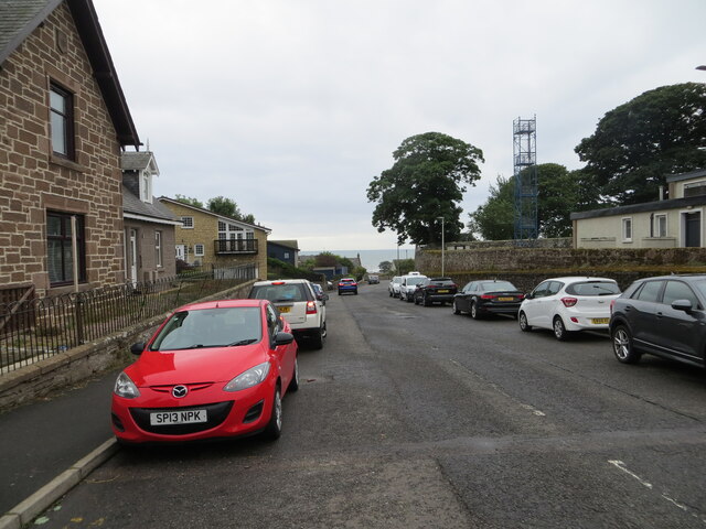
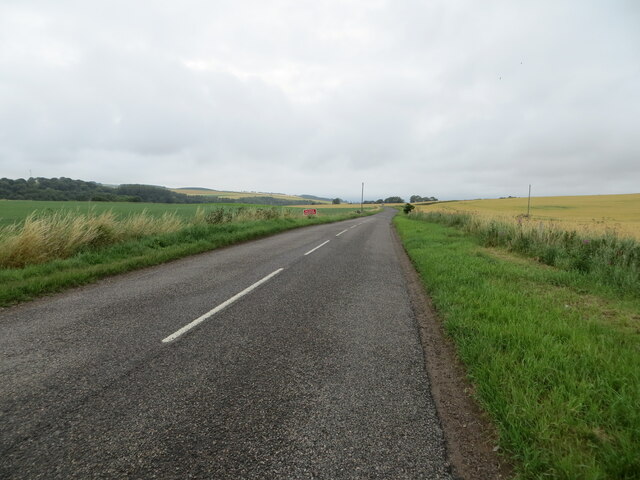
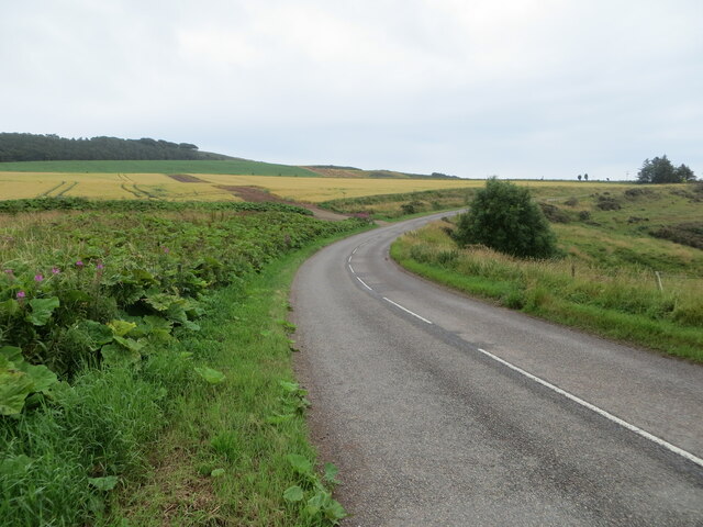
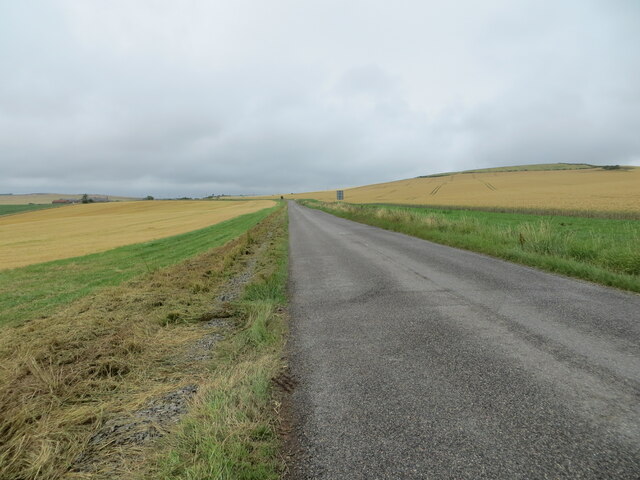
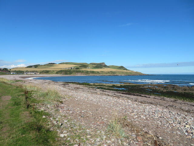
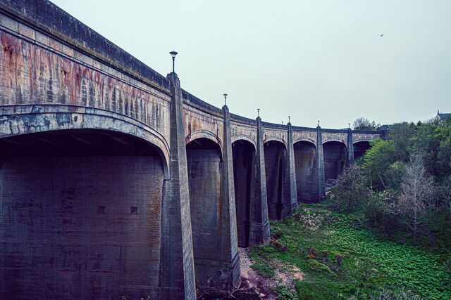
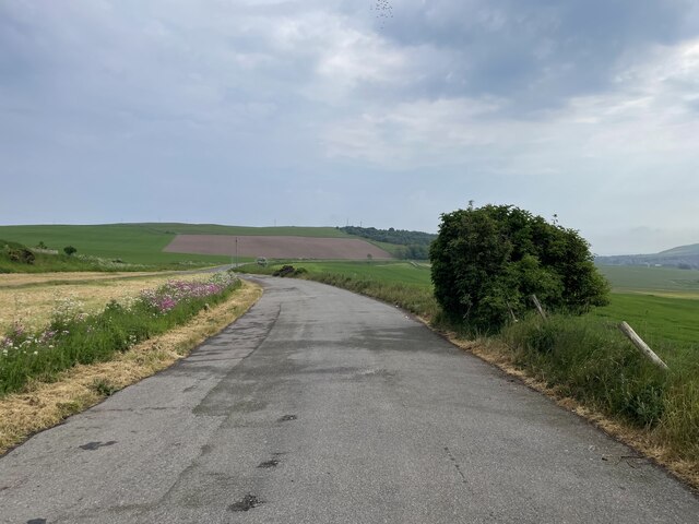
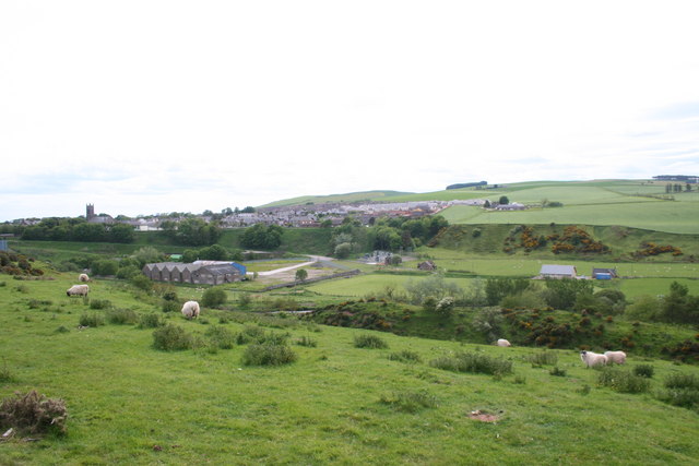
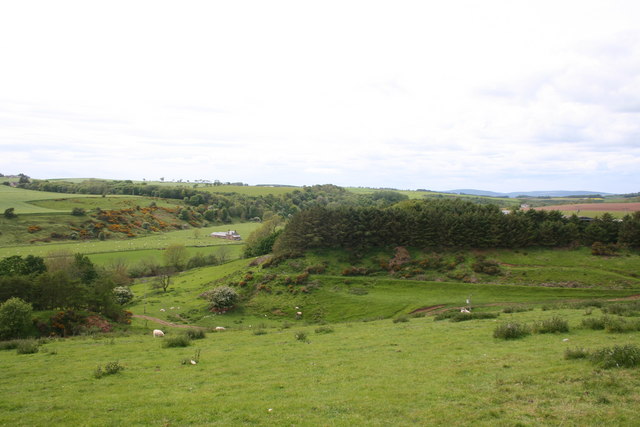
Seppie Wood Images
Images are sourced within 2km of 56.855055/-2.2684707 or Grid Reference NO8373. Thanks to Geograph Open Source API. All images are credited.


Seppie Wood is located at Grid Ref: NO8373 (Lat: 56.855055, Lng: -2.2684707)
Unitary Authority: Aberdeenshire
Police Authority: North East
What 3 Words
///infringe.vivid.proceeds. Near Inverbervie, Aberdeenshire
Nearby Locations
Related Wikis

Bervie Water
Bervie Water (Scottish Gaelic: Uisge Bhiorbhaigh) is a river in Aberdeenshire, Scotland which rises in the Drumtochty Forest and flows across The Mearns...

Inverbervie Town House
Inverbervie Town House is a municipal structure in Church Street in Inverbervie, Aberdeenshire, Scotland. The structure, which is primarily used as a public...

Inverbervie railway station
Bervie railway station served the town of Inverbervie, Aberdeenshire, Scotland from 1865 to 1966 on the Montrose and Bervie Railway. == History == The...

Inverbervie
Inverbervie (from Scottish Gaelic: Inbhir Biorbhaidh or Biorbhaigh, "mouth of the River Bervie") is a small town on the north-east coast of Scotland, south...
Nearby Amenities
Located within 500m of 56.855055,-2.2684707Have you been to Seppie Wood?
Leave your review of Seppie Wood below (or comments, questions and feedback).