Cowton Wood
Wood, Forest in Kincardineshire
Scotland
Cowton Wood
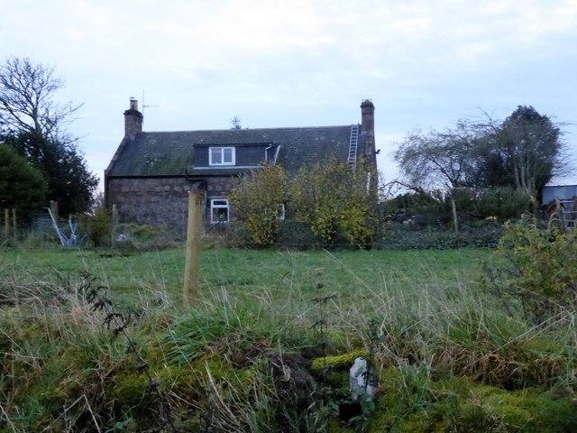
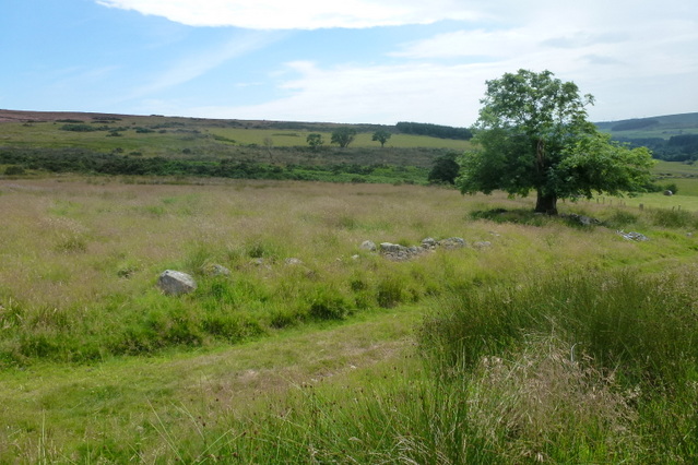
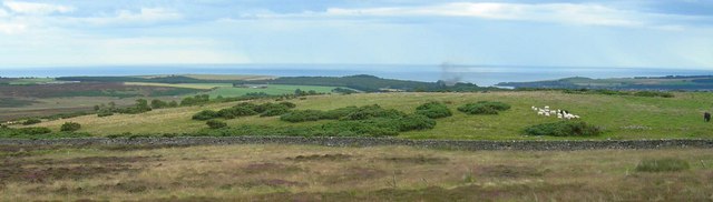
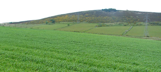
Cowton Wood is a picturesque forest located in the county of Kincardineshire, Scotland. Covering an area of approximately 200 acres, it is a significant natural landmark in the region. The wood is situated near the town of Laurencekirk and is easily accessible by road.
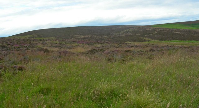
The forest is predominantly composed of native tree species, including oak, birch, and pine trees. These trees form a dense canopy, providing a habitat for a diverse range of flora and fauna. Walking through the wood, visitors will encounter a carpet of wildflowers, such as bluebells and primroses, during the spring and summer months.
Cowton Wood is renowned for its abundant wildlife. Birdwatchers can spot a variety of species, including woodpeckers, owls, and various songbirds. The forest is also home to small mammals like red squirrels, foxes, and badgers. In addition, the presence of a small stream running through the wood further enhances its ecological importance.
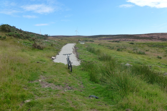
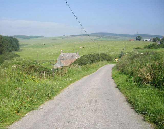
The wood attracts nature enthusiasts, hikers, and photographers throughout the year. There are several walking trails and paths that allow visitors to explore its beauty at their own pace. The tranquility of the forest provides an ideal setting for a peaceful getaway from the hustle and bustle of urban life.
Overall, Cowton Wood is a natural gem in the heart of Kincardineshire, offering a glimpse into the region's rich biodiversity. Its lush greenery, diverse wildlife, and serene atmosphere make it a must-visit destination for nature lovers and those seeking solace in the beauty of the Scottish countryside.
If you have any feedback on the listing, please let us know in the comments section below.
Cowton Wood Images
Images are sourced within 2km of 56.996847/-2.2852602 or Grid Reference NO8289. Thanks to Geograph Open Source API. All images are credited.


Cowton Wood is located at Grid Ref: NO8289 (Lat: 56.996847, Lng: -2.2852602)
Unitary Authority: Aberdeenshire
Police Authority: North East
What 3 Words
///fussed.dragon.marketing. Near Stonehaven, Aberdeenshire
Nearby Locations
Related Wikis
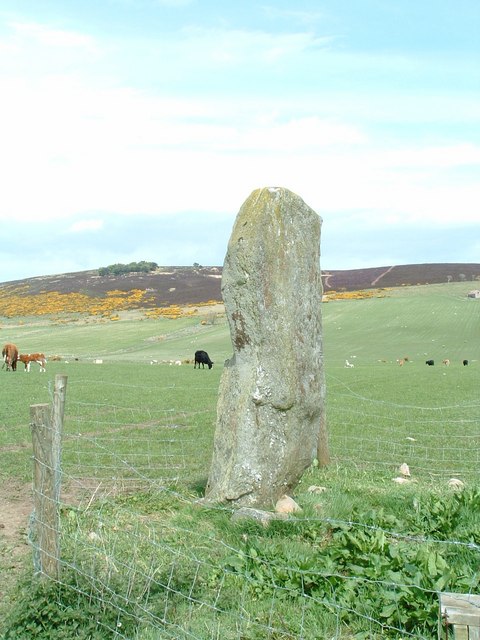
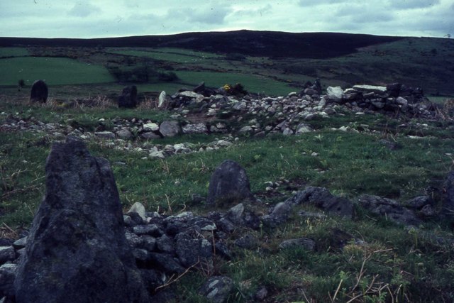
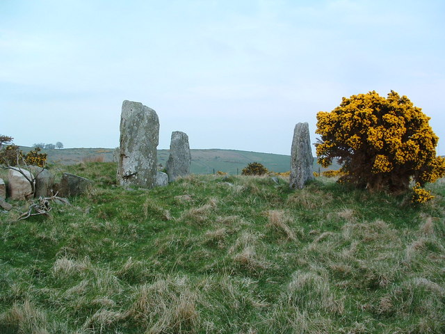
Lang Stane of Auquhollie
The Lang Stane of Auquhollie is an Ogam-inscribed standing stone some 6 kilometres north-west of Stonehaven in Scotland. Situated on south side of Meikle...

Rickarton
Rickarton is a settlement in Aberdeenshire. It is situated on the A957 to the northwest of Stonehaven. Rickarton was served by the 105 bus between Stonehaven...

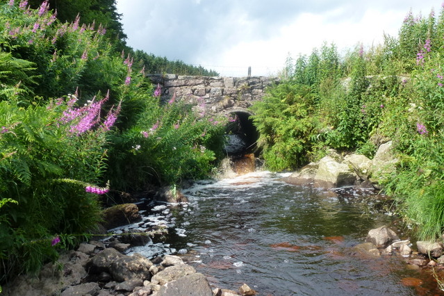
Cowton Burn
Cowton Burn is a stream that rises in the Mounth, or eastern range of the Grampian Mountains, on some of the northwest slopes of the Durris Forest west...

Rickarton House
Rickarton House is a 19th-century country house in Kincardineshire, Scotland. It lies approximately three-and-a-half miles northwest of Stonehaven in the...
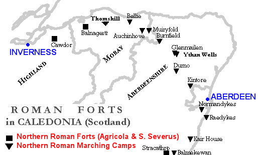
Raedykes
Raedykes is the site of a Roman marching camp located just over three miles (five kilometres) northwest of Stonehaven, Aberdeenshire, Scotland. National...

Saddle Hill (Aberdeenshire)
Saddle Hill is a low lying mountain in eastern Aberdeenshire, Scotland within the Mounth Range of the Grampian Mountains. Its peak is 241 metres (791...

Meikle Carewe Hill
Meikle Carewe Hill is a landform in Aberdeenshire, Scotland within the Mounth Range of the Grampian Mountains. (Grid Reference NO 921 828) The peak elevation...

Curlethney Hill
Curlethney Hill is a landform in Aberdeenshire, Scotland within the Mounth Range of the Grampian Mountains. (Grid Reference NO 918 839) The peak elevation...
Nearby Amenities
Located within 500m of 56.996847,-2.2852602Have you been to Cowton Wood?
Leave your review of Cowton Wood below (or comments, questions and feedback).