Charlestown
Settlement in Fife
Scotland
Charlestown
Charlestown is a small coastal village located in the county of Fife, Scotland. Situated on the north shore of the Firth of Forth, it is approximately 6 miles northwest of the town of Dunfermline and 21 miles northeast of the city of Edinburgh.
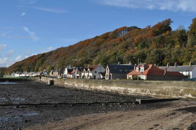
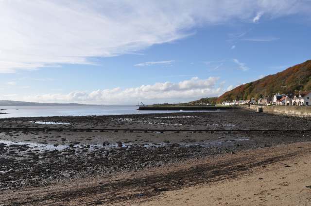
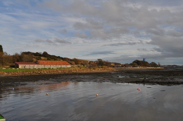
The village is known for its picturesque setting, with stunning views of the Firth of Forth and the iconic Forth Bridges in the distance. Charlestown was originally established in the late 18th century as a purpose-built fishing village, and its historic charm can still be seen today in the well-preserved stone cottages and traditional buildings.
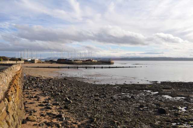
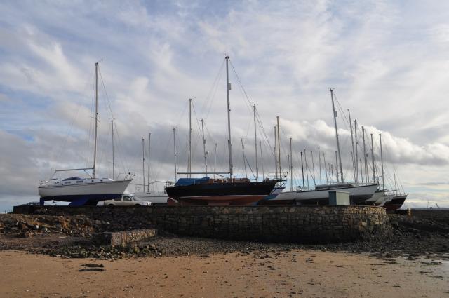
The harbor at Charlestown was once a bustling center of activity for the local fishing industry, but it has since transitioned into a marina for pleasure craft, attracting boating enthusiasts and visitors alike. The village also offers a small sandy beach, ideal for leisurely walks and family outings.
In recent years, Charlestown has become a popular tourist destination due to its rich maritime history and tranquil surroundings. Visitors can explore the harbor, take boat trips along the coast, or enjoy walks along the shoreline. The village is also home to a number of quaint shops, cafes, and pubs, where visitors can immerse themselves in the local charm and hospitality.
Overall, Charlestown, Fife offers a peaceful and idyllic escape for those seeking a scenic coastal retreat with a touch of history and traditional Scottish charm.
If you have any feedback on the listing, please let us know in the comments section below.
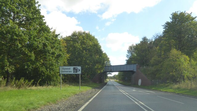
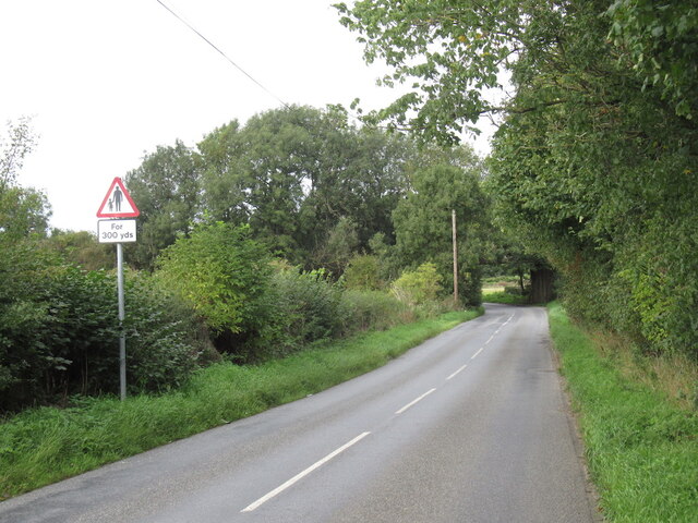
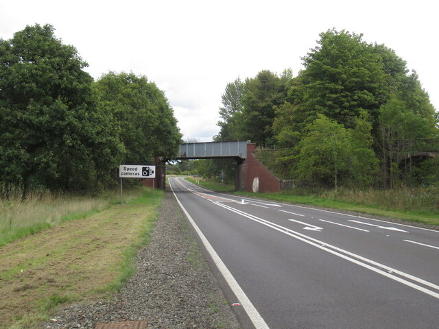
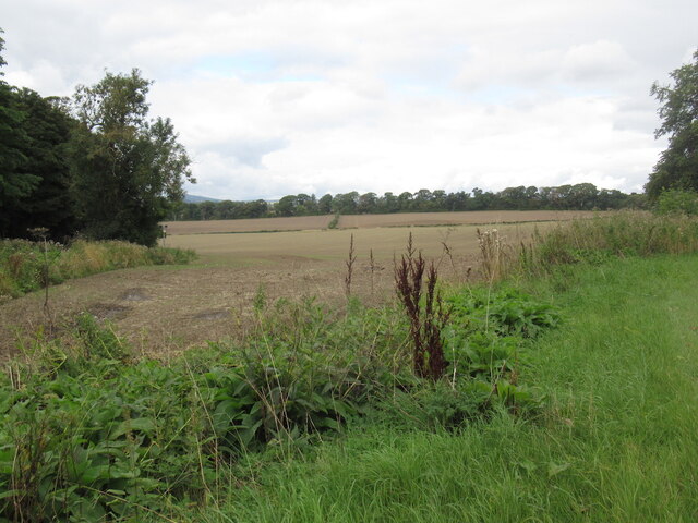
Charlestown Images
Images are sourced within 2km of 56.036621/-3.501356 or Grid Reference NT0683. Thanks to Geograph Open Source API. All images are credited.


Charlestown is located at Grid Ref: NT0683 (Lat: 56.036621, Lng: -3.501356)
Unitary Authority: Fife
Police Authority: Fife
What 3 Words
///adjuster.professed.sharper. Near Limekilns, Fife
Nearby Locations
Related Wikis

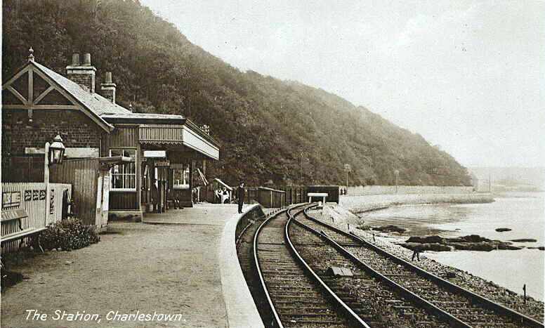
Charlestown railway station (ER)
Charlestown (ER) railway station served the town of Charlestown, Fife, Scotland from 1833 to 1863 on the Elgin Railway. == History == The station opened...
Charlestown (KL) railway station
Charlestown railway station served the town of Charlestown, Fife, Scotland from 1894 to 1926 on the Kincardine Line. == History == The station opened on...
Broomhall House
Broomhall House is the family seat of the Earls of Elgin, three miles (4.8 kilometres) south-west of Dunfermline, sitting above the village of Limekilns...
Limekilns
Limekilns is a village in Fife, Scotland. It lies on the shore of the Firth of Forth, around 3 miles (5 km) south of Dunfermline. == History and economy... ==
DM Crombie
Defence Munitions Crombie is a military munitions depot on the upper Firth of Forth in West Fife, Scotland. The depot is located on the north shore of...
Crossford, Fife
Crossford is a splendid village in West Fife, Scotland (population in 2011 was 2358). It is 1 mile (1.5 kilometres) west of Dunfermline, east of Cairneyhill...
Pattiesmuir
Pattiesmuir (formerly Pettimuir, Pettymuir and also known as Patiemuir, Patiesmuir and Peattie Muir) is a small, dormitory hamlet located in the west of...
HMS Scotia (shore establishment)
HMS Scotia is one of the newest Royal Naval Reserve units, formed in 1958, and currently recruiting from the east of Scotland. The unit inhabits spacious...
Nearby Amenities
Located within 500m of 56.036621,-3.501356Have you been to Charlestown?
Leave your review of Charlestown below (or comments, questions and feedback).