Countridge Plantation
Wood, Forest in Roxburghshire
Scotland
Countridge Plantation

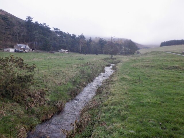
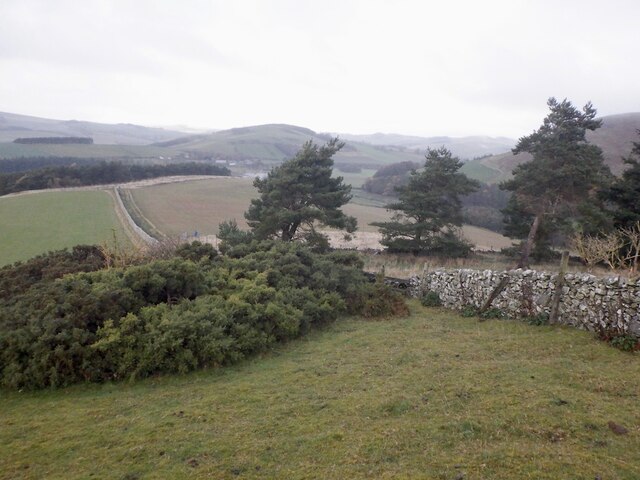
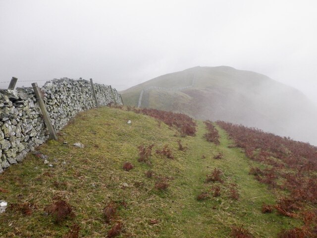
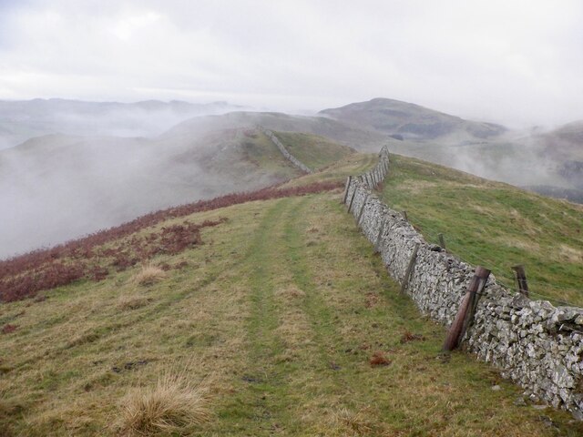
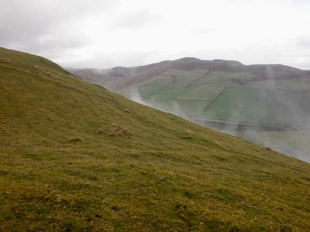
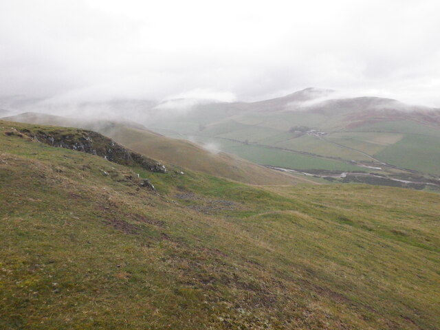
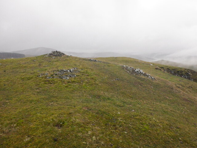
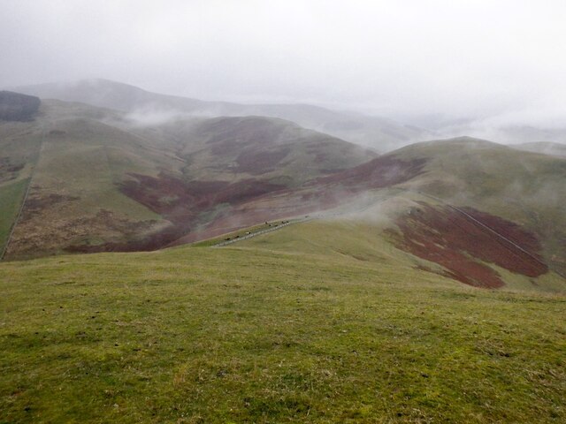
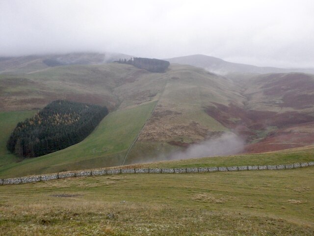
Countridge Plantation is a sprawling wooded area located in Roxburghshire, Scotland. Covering an extensive area, it is a popular destination for nature enthusiasts and outdoor enthusiasts alike. The plantation is characterized by its dense forests, which consist primarily of a variety of broadleaf and coniferous trees.
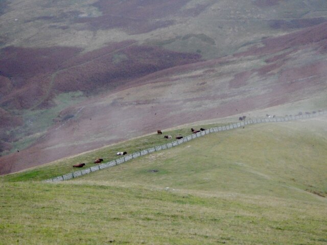
The plantation's diverse flora and fauna make it a haven for wildlife. Numerous species of birds, including owls, woodpeckers, and various songbirds, can be spotted throughout the year. Small mammals such as squirrels, rabbits, and voles also thrive in the woodland environment.
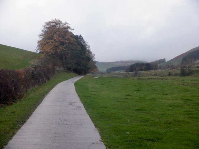
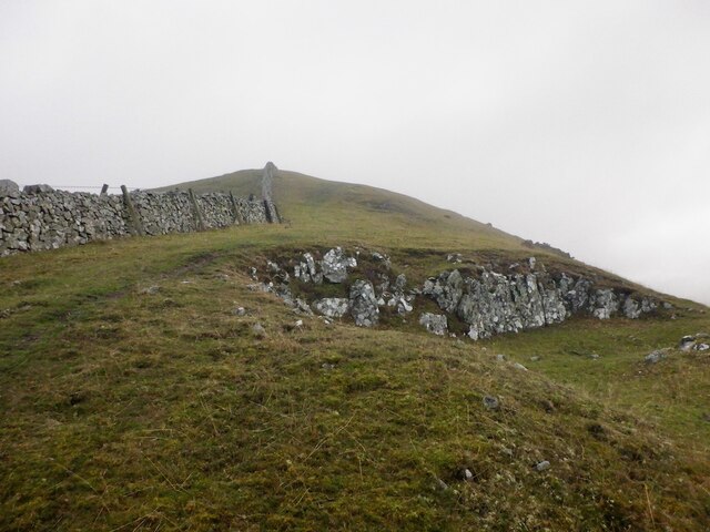
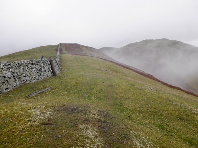
Visitors to Countridge Plantation can enjoy a range of outdoor activities. There are well-maintained walking trails that wind through the woodland, providing opportunities for both leisurely strolls and more challenging hikes. The trails are suitable for all ages and fitness levels, making it a great destination for families.
For those interested in wildlife observation, there are designated bird hides strategically placed throughout the plantation, offering a chance to observe the local avian species in their natural habitats. Additionally, there are picnic areas and benches scattered throughout the plantation, providing a perfect spot for visitors to relax and enjoy the tranquility of the surroundings.
Countridge Plantation is easily accessible, with ample parking facilities available for visitors. The plantation is open year-round, although it is particularly stunning during the autumn months when the foliage transforms into a vibrant display of colors. Whether seeking a peaceful escape or an active outdoor adventure, Countridge Plantation offers a captivating and rejuvenating experience for all nature lovers.
If you have any feedback on the listing, please let us know in the comments section below.
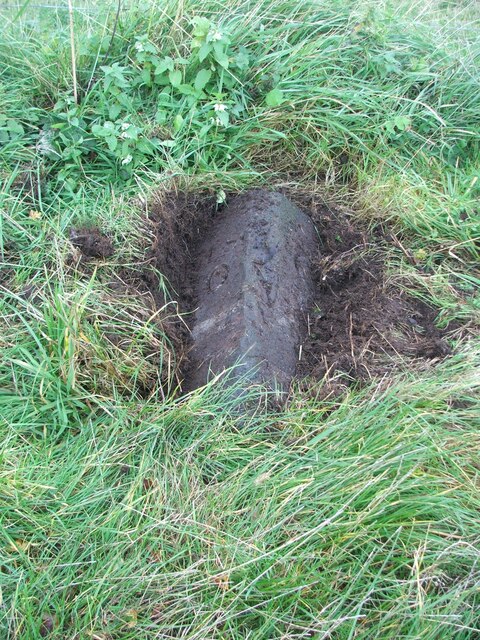
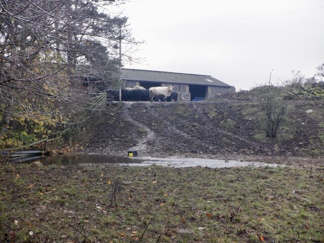
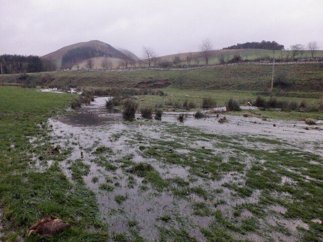
Countridge Plantation Images
Images are sourced within 2km of 55.523106/-2.2791347 or Grid Reference NT8225. Thanks to Geograph Open Source API. All images are credited.

Countridge Plantation is located at Grid Ref: NT8225 (Lat: 55.523106, Lng: -2.2791347)
Unitary Authority: The Scottish Borders
Police Authority: The Lothians and Scottish Borders
What 3 Words
///finely.nerd.singing. Near Kirknewton, Northumberland
Nearby Locations
Related Wikis

Town Yetholm
Town Yetholm ('town yet-ham') is a small village in the Scottish Borders in the valley of the Bowmont Water opposite Kirk Yetholm. The town colours are...

Kirk Yetholm
Kirk Yetholm ('kirk yet-ham') is a village in the Scottish Borders region of Scotland, 8 miles (13 kilometres) southeast of Kelso and less than 1 mile...

Yetholm
Yetholm is the parish that contained the villages of Kirk Yetholm and Town Yetholm in the east of the former county of Roxburghshire, nowadays in the Scottish...

Yetholm Loch
Yetholm Loch is a loch near Kelso, in the Scottish Borders area of Scotland, in the former Roxburghshire.There was a tower on an island in Yetholm Loch...

Mowhaugh
Mowhaugh is a hamlet and farm steading near the Calroust Burn and the Bowmont Water, near Morebattle, in the Scottish Borders area of Scotland, and in...
Linton, Scottish Borders
Linton is a small village in the Scottish Borders area of Scotland. It is situated a mile north of the village of Morebattle. == History == People have...

Morebattle
Morebattle is a village in the Scottish Borders area of Scotland, on the B6401, seven miles south of Kelso, Scottish Borders, beside the Kale Water, a...
Hoselaw Loch and Din Moss
Hoselaw Loch and Din Moss is a nature reserve near Kelso in the Scottish Borders area of Scotland, in the former Roxburghshire. The reserve is designated...
Nearby Amenities
Located within 500m of 55.523106,-2.2791347Have you been to Countridge Plantation?
Leave your review of Countridge Plantation below (or comments, questions and feedback).