Charlestown

Settlement in Kincardineshire

Scotland

Charlestown

Recently clearcut conifer forest Young saplings of new growth alien conifers have begun to emerge to cover the ground.
Recently clearcut conifer forest Credit: C Michael Hogan

The requested URL returned error: 429 Too Many Requests

If you have any feedback on the listing, please let us know in the comments section below.
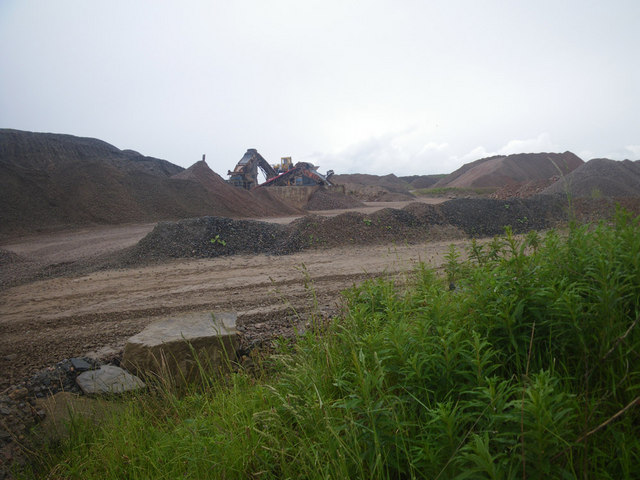
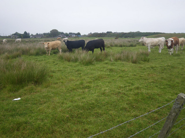
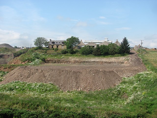
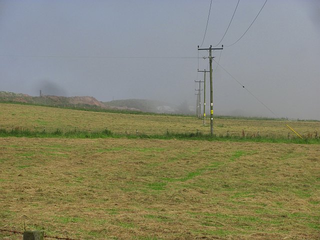
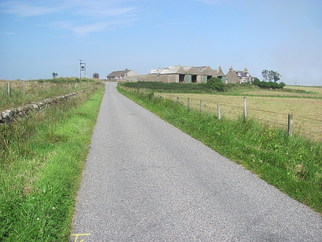
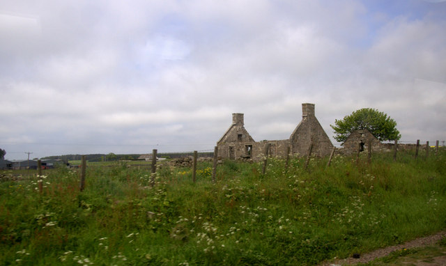
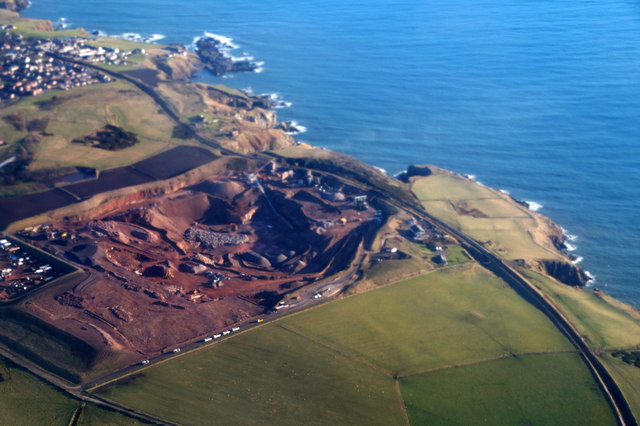
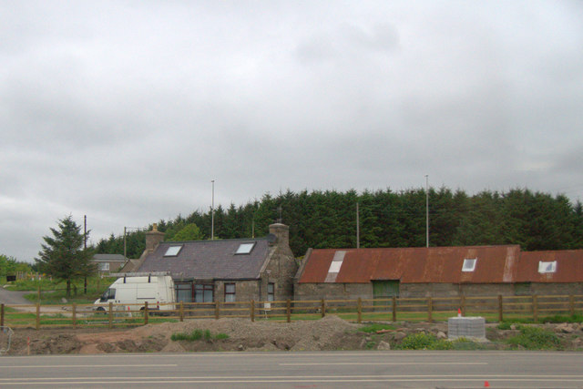
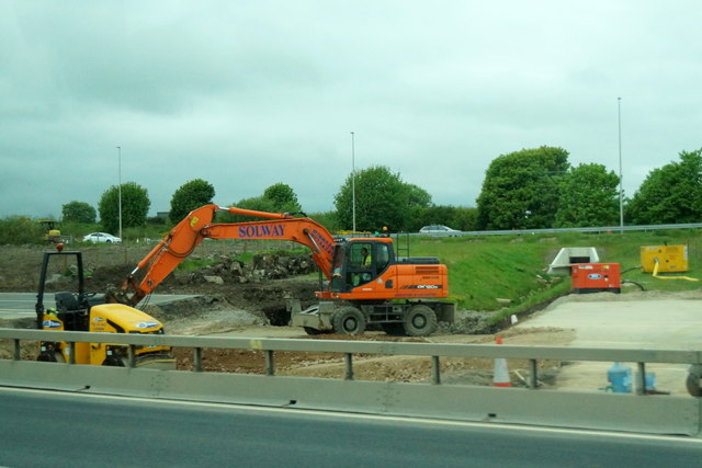
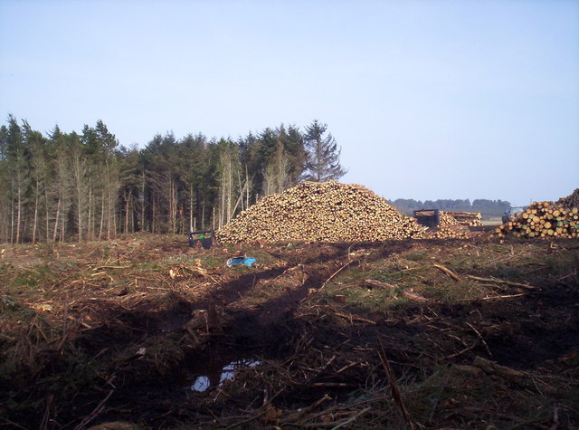
Charlestown Images

Images are sourced within 2km of 57.09919/-2.1111763 or Grid Reference NJ9300. Thanks to Geograph Open Source API. All images are credited.

Recently clearcut conifer forest Young saplings of new growth alien conifers have begun to emerge to cover the ground.
Recently clearcut conifer forest
Young saplings of new growth alien conifers have begun to emerge to cover the ground.
Strange coastal industrial land use Photographer is standing near a large scale industrial gravel staging area; moreover, this type of land use so near the beautiful rugged coastline is a very strange council decision.
Strange coastal industrial land use
Photographer is standing near a large scale industrial gravel staging area; moreover, this type of land use so near the beautiful rugged coastline is a very strange council decision.
Cows grazing not far from the coastline This pasture is very moist and exhibits a high occurrence of Juncus species.
Cows grazing not far from the coastline
This pasture is very moist and exhibits a high occurrence of Juncus species.
Mains of Cairnrobin Derelict farm with a nearby quarry.
Mains of Cairnrobin
Derelict farm with a nearby quarry.
The haar returns After a couple of hours of sunshine, the sea mist returns to land.
The haar returns
After a couple of hours of sunshine, the sea mist returns to land.
Blackhills of Cairnrobin Minor road north of Portlethen.
Blackhills of Cairnrobin
Minor road north of Portlethen.
Newpark, Marywell Ruin beside the A90.
Newpark, Marywell
Ruin beside the A90.
Quarry at Blackhills, south of Aberdeen, from the air Taken from a plane approaching Aberdeen Airport.
Quarry at Blackhills, south of Aberdeen, from the air
Taken from a plane approaching Aberdeen Airport.
House beside the A90 near Marywell
Work on the Aberdeen Bypass near Marywell The road appears to be being widened here, approaching what will be a major interchange.
Work on the Aberdeen Bypass near Marywell
The road appears to be being widened here, approaching what will be a major interchange.
Derelict Cottages at Marywell Ruins next to the A92 at Marywell.
Derelict Cottages at Marywell
Ruins next to the A92 at Marywell.
The A92 reaches Aberdeen Sliproad from the A92 to the A956 at the southern boundary of Aberdeen.
The A92 reaches Aberdeen
Sliproad from the A92 to the A956 at the southern boundary of Aberdeen.
Blackhills of Cairnrobin, Cove
Welcome to the City of Aberdeen Aberdeen boundary on the A90 at Bothy Brig, south of the Charleston Junction.
Welcome to the City of Aberdeen
Aberdeen boundary on the A90 at Bothy Brig, south of the Charleston Junction.
Bales in a field
Bales in a field
Blackhill Quarry Taken from the entrance gate looking into the quarry on the new entrance road.
Blackhill Quarry
Taken from the entrance gate looking into the quarry on the new entrance road.
Duff's Hill Forest This forest is currently getting devastated by the forestry commission
Duff's Hill Forest
This forest is currently getting devastated by the forestry commission
Show me another place!

Charlestown is located at Grid Ref: NJ9300 (Lat: 57.09919, Lng: -2.1111763)

Unitary Authority: City of Aberdeen

Police Authority: North East

What 3 Words

///employ.blows.reject. Near Cove, Aberdeen

Nearby Locations

Charlestown

Related Wikis

Aberdeen South (UK Parliament constituency)

Aberdeen South is a burgh constituency of the House of Commons of the Parliament of the United Kingdom and it elects one Member of Parliament (MP) by the...

Cove Bay

Cove Bay, known locally as Cove, is a suburb on the south-east edge of Aberdeen, Scotland. Today Cove is home to around 8,000 people. It is a popular residential...
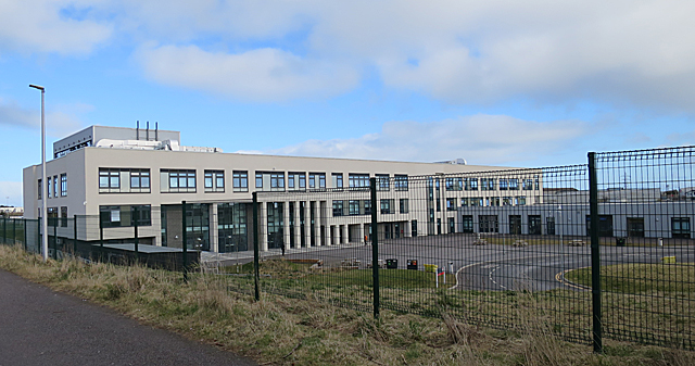
Lochside Academy

Lochside Academy is a co-educational secondary school in Altens, Aberdeen, run by Aberdeen City Council. Its feeder primary schools are Abbotswell School...

St Mary's Church, Cove Bay

St Mary the Virgin (Cove Bay) is an Episcopal Church in Cove Bay, Aberdeen, Scotland. It is part of the Diocese of Aberdeen and Orkney in the Scottish...

Nearby Amenities

Located within 500m of 57.09919,-2.1111763
Barrier: yes
Lat/Long: 57.1002544/-2.1149608
Motorway Junction
Charleston Junction
Lat/Long: 57.1004656/-2.1135659
Noexit: yes
Lat/Long: 57.1030025/-2.1145754
Traffic Signals
Traffic Signals: signal
Lat/Long: 57.0976374/-2.1044503
Traffic Signals
Traffic Signals: signal
Lat/Long: 57.0975639/-2.1043413
Ford: yes
Lat/Long: 57.0989274/-2.1059676
Bus Stop
Flyover
Bus: yes
Departures Board: timetable
Naptan AtcoCode: 639007131
Naptan CommonName: Flyover
Naptan Indicator: adj
Naptan NaptanCode: 23236759
Naptan Verified: no
Public Transport: platform
Shelter: yes
Lat/Long: 57.0955285/-2.114482
Bus Stop
Flyover
Bench: yes
Bus: yes
Departures Board: timetable
Naptan AtcoCode: 639007132
Naptan CommonName: Flyover
Naptan Indicator: adj
Naptan NaptanCode: 23236757
Naptan Verified: no
Public Transport: platform
Shelter: yes
Lat/Long: 57.0966497/-2.1123654
Crossing
Crossing: uncontrolled
Crossing Island: yes
Crossing Markings: no
Kerb: flush
Tactile Paving: yes
Lat/Long: 57.0961071/-2.1089022
Crossing
Crossing: uncontrolled
Crossing Island: yes
Crossing Markings: no
Kerb: flush
Tactile Paving: yes
Lat/Long: 57.0961756/-2.1092682
Charlestown
Place: hamlet
Lat/Long: 57.0986854/-2.1106993
Crossing
Lat/Long: 57.0956349/-2.112235
Traffic Signals
Traffic Signals: signal
Traffic Signals Direction: forward
Lat/Long: 57.0952983/-2.1118567
Traffic Signals
Traffic Signals: signal
Traffic Signals Direction: forward
Lat/Long: 57.0956753/-2.1122553
Traffic Signals
Traffic Signals: signal
Traffic Signals Direction: forward
Lat/Long: 57.0952834/-2.1125953
Crossing
Crossing: uncontrolled
Crossing Island: yes
Crossing Markings: no
Kerb: flush
Tactile Paving: yes
Lat/Long: 57.0962252/-2.1097534
Give Way
Lat/Long: 57.096139/-2.109624
Give Way
Lat/Long: 57.0961235/-2.109696
Redmoss Junction
Junction: yes
Lat/Long: 57.0960263/-2.1097049
Crossing
Crossing: uncontrolled
Crossing Island: yes
Crossing Markings: no
Kerb: flush
Tactile Paving: yes
Lat/Long: 57.0962086/-2.1098715
Crossing
Crossing: traffic_signals
Lat/Long: 57.0956341/-2.1122449
Noexit: yes
Lat/Long: 57.1006833/-2.1134495
Power: pole
Lat/Long: 57.0970132/-2.1176839
Power: pole
Lat/Long: 57.0972656/-2.1163583
Power: pole
Lat/Long: 57.0974549/-2.1154316
Power: pole
Lat/Long: 57.0976442/-2.1143408
Power: pole
Lat/Long: 57.09771/-2.1139873
Material: wood
Power: pole
Lat/Long: 57.0979967/-2.1125203
Power: pole
Lat/Long: 57.0982257/-2.1112932
Power: pole
Lat/Long: 57.0985947/-2.1097554
Power: pole
Lat/Long: 57.098186/-2.1039808
Power: pole
Lat/Long: 57.0982161/-2.1046752
Power: pole
Lat/Long: 57.0982888/-2.1065613
Power: pole
Lat/Long: 57.0983121/-2.1070234
Power: pole
Lat/Long: 57.0980694/-2.1077986
Power: pole
Lat/Long: 57.0978513/-2.1084526
Power: pole
Lat/Long: 57.0979048/-2.1090459
Power: pole
Lat/Long: 57.098164/-2.1096822
Power: pole
Lat/Long: 57.0991886/-2.1098438
Power: pole
Lat/Long: 57.0997934/-2.1099322
Power: pole
Lat/Long: 57.1003269/-2.1113563
Power: pole
Lat/Long: 57.1005998/-2.1121012
Power: pole
Lat/Long: 57.0967471/-2.1127173
Power: pole
Lat/Long: 57.0968733/-2.1141211
Power: pole
Lat/Long: 57.0969145/-2.1146034
Power: pole
Lat/Long: 57.0965661/-2.1157927
Power: pole
Lat/Long: 57.0961916/-2.1170097
Power: pole
Lat/Long: 57.1000986/-2.1187305
Power: pole
Lat/Long: 57.0997996/-2.1168999
Material: wood
Power: pole
Lat/Long: 57.100104/-2.1158369
Material: wood
Power: pole
Lat/Long: 57.1004291/-2.1147385
Power: pole
Lat/Long: 57.0963267/-2.1058758
Power: pole
Lat/Long: 57.0962911/-2.1069338
Power: pole
Lat/Long: 57.096287/-2.1076282
Power: pole
Lat/Long: 57.1016659/-2.111774
Power: pole
Lat/Long: 57.10219/-2.1113096
Power: pole
Lat/Long: 57.1026467/-2.1109005
Power: pole
Lat/Long: 57.1031789/-2.1103605
Stop
Direction: backward
Lat/Long: 57.1009627/-2.1125011
Barrier: block
Lat/Long: 57.1014384/-2.1129491
Traffic Calming: chicane
Lat/Long: 57.0998076/-2.1123446
Traffic Calming: chicane
Lat/Long: 57.1002408/-2.1124676
Give Way
Lat/Long: 57.0960076/-2.1096295
The data included in this document is from www.openstreetmap.org. The data is made available under ODbL.

Have you been to Charlestown?

Leave your review of Charlestown below (or comments, questions and feedback).