Back Moss

Wood, Forest in Aberdeenshire

Scotland

Back Moss

Woodland Path A path through Denwood.
Woodland Path Credit: Andrew Wood

The requested URL returned error: 429 Too Many Requests

If you have any feedback on the listing, please let us know in the comments section below.
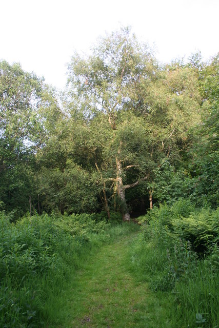
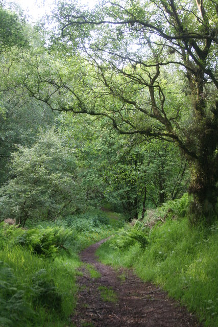
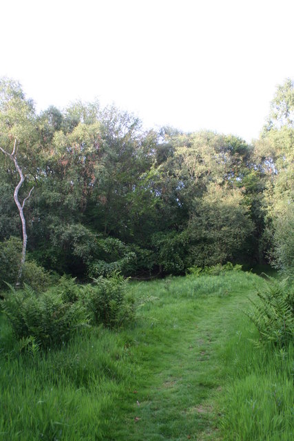
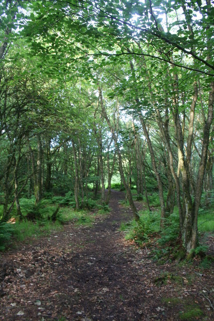
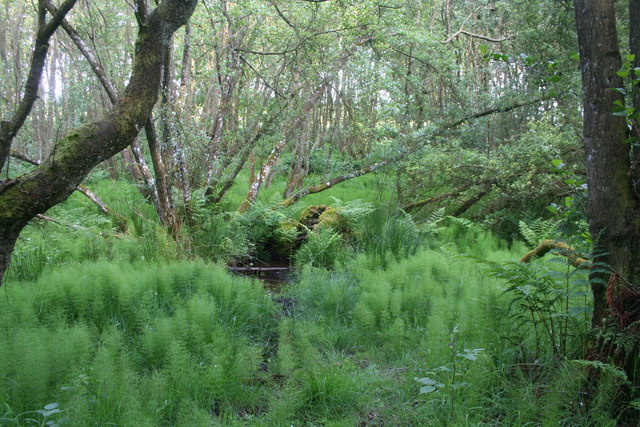
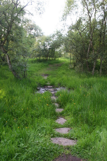
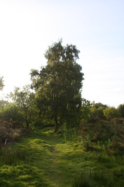
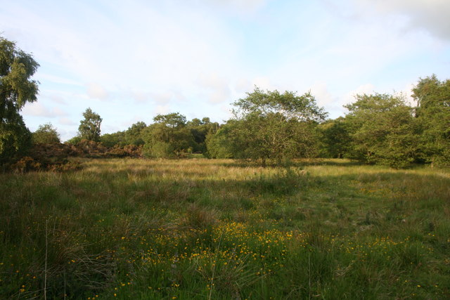
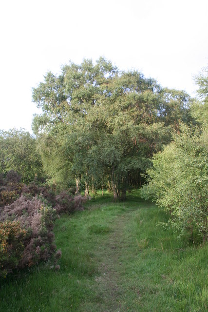
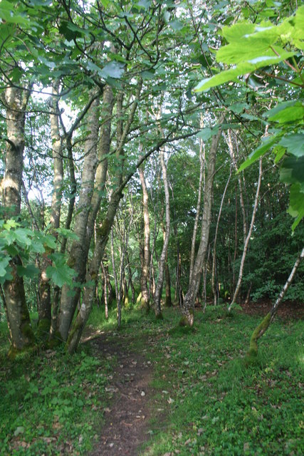
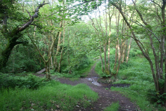
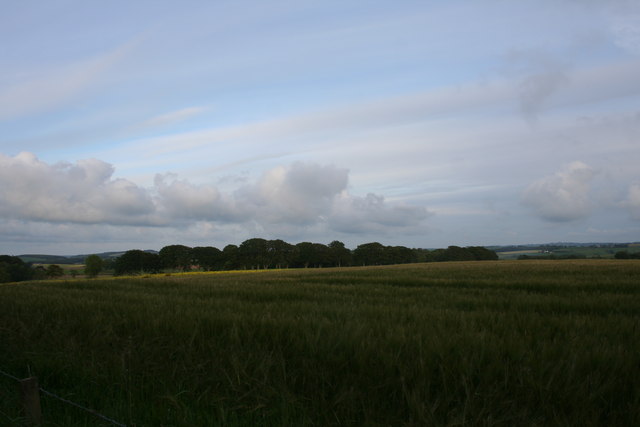
Back Moss Images

Images are sourced within 2km of 57.37741/-2.3054559 or Grid Reference NJ8131. Thanks to Geograph Open Source API. All images are credited.

Woodland Path A path through Denwood.
Woodland Path
A path through Denwood.
Path to the Burn A path leading down a gentle slope to the junction of two small burns in Denwood.
Path to the Burn
A path leading down a gentle slope to the junction of two small burns in Denwood.
Woodland Clearing A clearing and path through trees in Denwood.
Woodland Clearing
A clearing and path through trees in Denwood.
Through the Trees A path through trees in Denwood.
Through the Trees
A path through trees in Denwood.
Denwood Bog A small boggy area in Denwood.
Denwood Bog
A small boggy area in Denwood.
Stepping Stones A path crossing in a boggy area of Denwood.
Stepping Stones
A path crossing in a boggy area of Denwood.
Lone Birch A lone tree by scrub at the edge of Denwood with the path still clearly showing.
Lone Birch
A lone tree by scrub at the edge of Denwood with the path still clearly showing.
Denwood  Wetland Wetland in Denwood with only sparse tree cover.
Denwood Wetland
Wetland in Denwood with only sparse tree cover.
Woodland Edge The rentry into denser woodland out of the main scrub and boggy area.
Woodland Edge
The rentry into denser woodland out of the main scrub and boggy area.
Path through Trees A path following the high ground by a burn through Denwood.
Path through Trees
A path following the high ground by a burn through Denwood.
Burn Crossing A simple footbridge over one of the small burns flowing through Denwood.
Burn Crossing
A simple footbridge over one of the small burns flowing through Denwood.
Barley by Denwood. Barley growing in a field by Denwood.
Barley by Denwood.
Barley growing in a field by Denwood.
Backhill by Denwood A small croft beside Denwood.
Backhill by Denwood
A small croft beside Denwood.
Sheep near Denwood Sheep grazing in Backhill fields with a shelter belt of trees around Tullo pond behind and Nether Tulloch Farm in the distance.
Sheep near Denwood
Sheep grazing in Backhill fields with a shelter belt of trees around Tullo pond behind and Nether Tulloch Farm in the distance.
Country roads "S" bends
B9170 towards Methlick
Ardmedden Road The access road downhill to Ardmedden Farm.
Ardmedden Road
The access road downhill to Ardmedden Farm.
The road to Keillyford.
Show me another place!

Back Moss is located at Grid Ref: NJ8131 (Lat: 57.37741, Lng: -2.3054559)

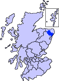
Unitary Authority: Aberdeenshire

Police Authority: North East

What 3 Words

///manicured.scarcely.mailings. Near Oldmeldrum, Aberdeenshire

Nearby Locations

Back Moss

Related Wikis

Barthol Chapel

Barthol Chapel is a small village in the Formartine area of Aberdeenshire, Scotland, named after the Catholic saint, St Bartholomew. Barthol Chapel has...

Formartine

Formartine (Scottish Gaelic: Fearann Mhàrtainn meaning "Martin's land") is a committee area in Aberdeenshire, Scotland. This district extends north from...

Meldrum House

Meldrum House is a Category B listed country house and estate in Oldmeldrum, Aberdeenshire, Scotland. It dates to around 1625 (although its datestone is...

Tillyhilt Castle

Tillyhilt Castle was a 16th-century tower house 6.5 miles (10.5 km) west of Ellon, 1 mile (1.6 km) northwest of Tarves, Aberdeenshire, Scotland. ��2�...

Nearby Amenities

Located within 500m of 57.37741,-2.3054559
Power: pole
Lat/Long: 57.3776308/-2.3118908
Power: pole
Lat/Long: 57.3778109/-2.3128688
Power: pole
Lat/Long: 57.3767702/-2.3073778
Power: pole
Lat/Long: 57.3769367/-2.3081913
Power: pole
Lat/Long: 57.3771055/-2.3090569
Power: pole
Lat/Long: 57.377272/-2.3099268
Power: pole
Lat/Long: 57.3774139/-2.3108316
Power: pole
Lat/Long: 57.3775933/-2.3117364
Power: pole
Lat/Long: 57.3794141/-2.2981714
Power: pole
Lat/Long: 57.3793473/-2.2994741
Power: pole
Lat/Long: 57.379277/-2.3008008
Power: pole
Lat/Long: 57.3791961/-2.3021341
Power: pole
Lat/Long: 57.379121/-2.3034586
Power: pole
Lat/Long: 57.3790812/-2.3044221
Power: pole
Lat/Long: 57.3786614/-2.3055161
Power: pole
Lat/Long: 57.3782417/-2.3065514
Power: pole
Lat/Long: 57.3780388/-2.307654
Power: pole
Lat/Long: 57.3776589/-2.3087872
Power: pole
Lat/Long: 57.3787622/-2.2987042
Power: pole
Lat/Long: 57.3781819/-2.2979386
Power: pole
Lat/Long: 57.3776191/-2.2971622
Power: pole
Lat/Long: 57.3776519/-2.3097659
Power: pole
Lat/Long: 57.3780154/-2.309605
Power: pole
Lat/Long: 57.3783859/-2.3094636
Power: pole
Lat/Long: 57.378788/-2.3092874
The data included in this document is from www.openstreetmap.org. The data is made available under ODbL.

Have you been to Back Moss?

Leave your review of Back Moss below (or comments, questions and feedback).