Charleston

Settlement in Renfrewshire

Scotland

Charleston

Renfrewshire Council Headquarters
Renfrewshire Council Headquarters Credit: G McK

Charleston is a small village located in the council area of Renfrewshire, Scotland. Situated approximately 8 miles west of Glasgow, it is part of the larger urban area surrounding the city.

Historically, Charleston was known for its industrial activity, particularly in the shipbuilding and engineering sectors. However, in recent years, the village has undergone significant changes, transitioning into a more residential area with a strong community spirit.

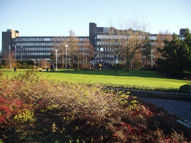
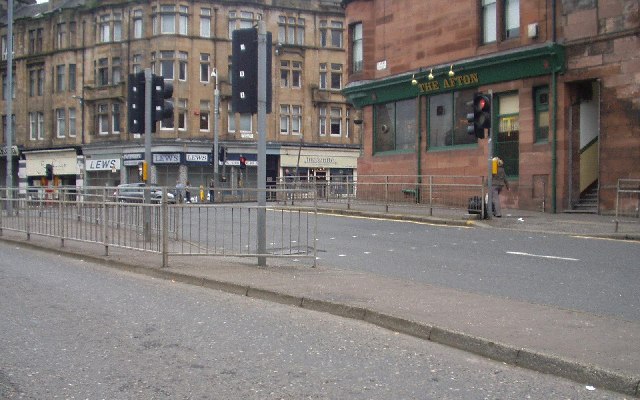
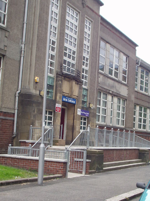
The village offers a range of amenities, including a primary school, a community center, and a local pub. There are also several parks and green spaces nearby, providing residents with opportunities for outdoor activities and recreational pursuits.

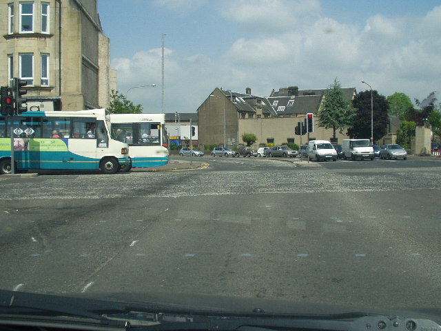
Charleston benefits from excellent transport links, with regular bus services connecting the village to neighboring towns and cities. The nearby M8 motorway allows for easy access to Glasgow, Paisley, and other major destinations in the region.

Despite its close proximity to urban areas, Charleston retains a peaceful and tranquil atmosphere. The village is surrounded by picturesque countryside, offering residents a balance between rural charm and urban convenience.

Overall, Charleston, Renfrewshire is a small village that has transformed from an industrial hub into a residential community. Its ideal location, range of amenities, and strong community spirit make it an attractive place to live for those seeking a peaceful yet convenient lifestyle.

If you have any feedback on the listing, please let us know in the comments section below.
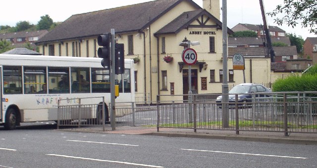
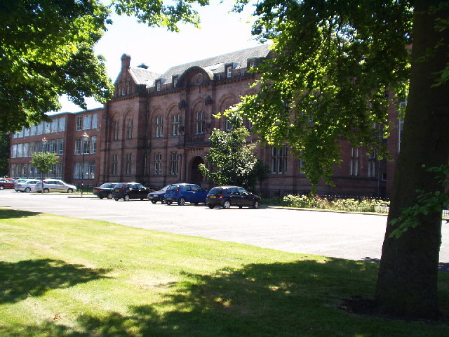
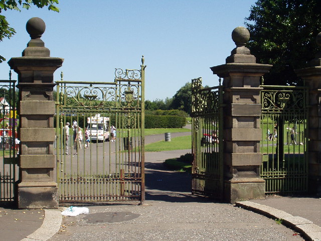
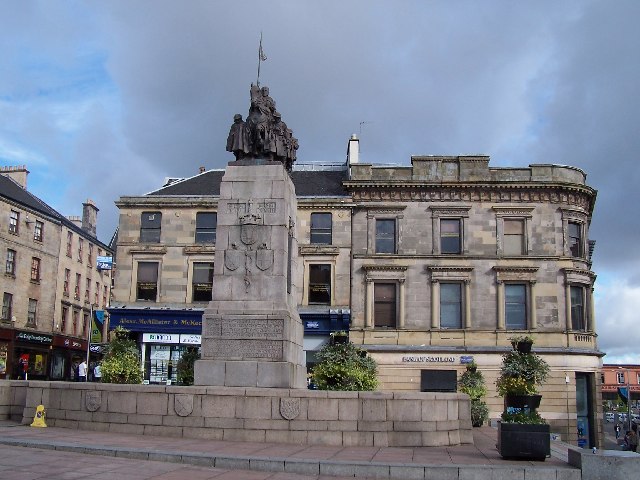
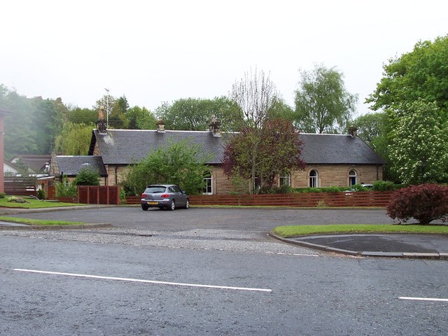
Charleston Images

Images are sourced within 2km of 55.833167/-4.419464 or Grid Reference NS4862. Thanks to Geograph Open Source API. All images are credited.

Renfrewshire Council Headquarters
Central Paisley
Central Paisley
Canal St, Paisley Road junction near the centre of Paisley
Canal St, Paisley
Road junction near the centre of Paisley
West Primary School, Paisley
The Abbey Hotel, Paisley
Paisley Grammar School Glasgow Road, Paisley
Paisley Grammar School
Glasgow Road, Paisley
Barshaw Park, Paisley
Hawkhead Station, Paisley
Former "Brown & Polson" Admin Building, Paisley This Admin building is all that remains of the Brown & Polson Factory, the site has been cleared and new houses are being built there.
Former "Brown & Polson" Admin Building, Paisley
This Admin building is all that remains of the Brown & Polson Factory, the site has been cleared and new houses are being built there.
Former "Brown & Polson" Admin Building, Paisley Front Entrance Detail.
Former "Brown & Polson" Admin Building, Paisley
Front Entrance Detail.
Former "Brown & Polson" Admin Building, Paisley Rear Entrance detail.
Former "Brown & Polson" Admin Building, Paisley
Rear Entrance detail.
"Brown & Polson" Workers Houses, Paisley Houses originally built for the B&P workers.
"Brown & Polson" Workers Houses, Paisley
Houses originally built for the B&P workers.
War memorial, Paisley
Paisley Abbey View of the historic abbey from over the White Cart Water.
Paisley Abbey
View of the historic abbey from over the White Cart Water.
Paisley Town Hall View from St Mirren Street, across the White Cart Water.
Paisley Town Hall
View from St Mirren Street, across the White Cart Water.
Tenements Tenements at the top of Causeyside Street, Paisley, taken from St Mirren Street.
Tenements
Tenements at the top of Causeyside Street, Paisley, taken from St Mirren Street.
Castlehead Church, Paisley
Clavering Street, Paisley
Show me another place!

Charleston is located at Grid Ref: NS4862 (Lat: 55.833167, Lng: -4.419464)

Unitary Authority: Renfrewshire

Police Authority: Renfrewshire and Inverclyde

What 3 Words

///rounds.fries.metals. Near Paisley, Renfrewshire

Related Wikis

Nearby Amenities

Located within 500m of 55.833167,-4.419464
Post Office
Neilston Road Post Office
Addr Postcode: PA2 6LZ
Branch: Neilston Road
Brand: Post Office
Brand Wikidata: Q1783168
Check Date: 2020-02-20
Contact Website: https://www.postoffice.co.uk/branch-finder/1298593/neilston-road
Ref Pol Id: 2234
Lat/Long: 55.8351313/-4.4231186
Traffic Calming: table
Lat/Long: 55.8338177/-4.4219477
Traffic Signals
Lat/Long: 55.8294237/-4.42226
Bus Stop
Bus: yes
Public Transport: platform
Ref: 6140358
Lat/Long: 55.8329471/-4.4187917
Traffic Calming: table
Lat/Long: 55.8331023/-4.415889
Bus Stop
Nat Ref: 6140355
Lat/Long: 55.8331705/-4.4157198
Bus Stop
Bus: yes
Naptan AtcoCode: 6140376
Naptan NaptanCode: 73924545
Public Transport: platform
Lat/Long: 55.8360305/-4.4234962
Fuel
Neilston Rd
Brand: Morrisons
Brand Wikidata: Q922344
Operator: Morrisons
Website: https://my.morrisons.com/storefinder/192/paisley-falside-road
Lat/Long: 55.8306925/-4.4229331
Bus Stop
Nat Ref: 6140382
Lat/Long: 55.8297614/-4.4224538
Post Box
Postal Code: PA2
Ref: PA2 153
Lat/Long: 55.8296204/-4.4182411
Bus Stop
Nat Ref: 6140381
Lat/Long: 55.8309391/-4.4228926
Bus Stop
Paisley, Neilston Road / Stock Street
Bus: yes
Nat Ref: 6140377
Public Transport: platform
Lat/Long: 55.8352345/-4.4233606
Bus Stop
Bus: yes
Public Transport: platform
Lat/Long: 55.8367185/-4.4240597
Bus Stop
Bus: yes
Nat Ref: 6140379
Public Transport: platform
Lat/Long: 55.8331996/-4.4228591
Co-op Food
Addr City: Paisley
Addr Housenumber: 60
Addr Postcode: PA2 6NE
Addr Street: Neilston Road
Brand: Co-op Food
Brand Wikidata: Q3277439
Fhrs Id: 130134
Operator: The Co-operative Group
Operator Wikidata: Q117202
Shop: supermarket
Website: https://www.coop.co.uk/store-finder/PA2-6NE/60-62-neilston-road
Lat/Long: 55.8354045/-4.4236239
Bus Stop
Paisley, Neilston Road / Mary Street
Bus: yes
Naptan AtcoCode: 6140378
Naptan NaptanCode: 73924393
Public Transport: platform
Lat/Long: 55.8339348/-4.4229343
Spar
Brand: Spar
Brand Wikidata: Q610492
Brand Wikipedia: en:Spar (retailer)
Shop: convenience
Website: https://www.spar.co.uk/store-locator/lan31391-spar-rowan-street/
Lat/Long: 55.8332061/-4.4160816
Atm
Lat/Long: 55.829683/-4.423018
Addr Housenumber: 58
Addr Postcode: PA2 6NE
Addr Street: Neilston Road
Atm: no
Disused Amenity: bank
Old Name: Bank of Scotland
Lat/Long: 55.8355638/-4.4236725
Traffic Calming: table
Lat/Long: 55.8334997/-4.4208932
Post Office
Lochfield Post Office
Addr Postcode: PA2 6RY
Brand: Post Office
Brand Wikidata: Q1783168
Ref Pol Id: 123270
Lat/Long: 55.8332107/-4.4159633
Fast Food
East Star
Cuisine: chinese
Lat/Long: 55.8331877/-4.4162748
Fast Food
Red Hot
Cuisine: indian
Lat/Long: 55.833197/-4.4161962
Atm
Operator: Post Office
Lat/Long: 55.8332097/-4.4159025
Cambridge Weight Plan Consultancy - Chris Stevenson
Addr City: Paisley
Addr Housenumber: 2/2 1
Addr Postcode: PA2 6ED
Addr Street: Charlotte Place
Ele: 2
Phone: +44 7708 740 297
Source: Owner
Website: https://www.cambridgeweightplan.com/ChrisS
Wheelchair: no
Lat/Long: 55.8342721/-4.4262991
Post Box
Lat/Long: 55.8294668/-4.4230876
Turning Circle
Lat/Long: 55.8359541/-4.4177283
Lochfield
Place: suburb
Lat/Long: 55.8314459/-4.4152067
Charleston
Place: suburb
Lat/Long: 55.8331903/-4.4204648
Carriagehill
Place: suburb
Lat/Long: 55.8305029/-4.424649
Give Way
Direction: backward
Lat/Long: 55.8353659/-4.418596
The data included in this document is from www.openstreetmap.org. The data is made available under ODbL.

Have you been to Charleston?

Leave your review of Charleston below (or comments, questions and feedback).