Cleuch Plantation

Wood, Forest in Roxburghshire

Scotland

Cleuch Plantation

View over Yetholm Loch
View over Yetholm Loch Credit: Richard Webb

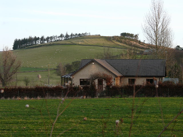
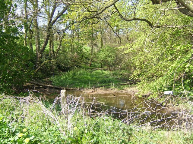
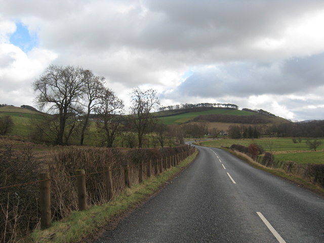
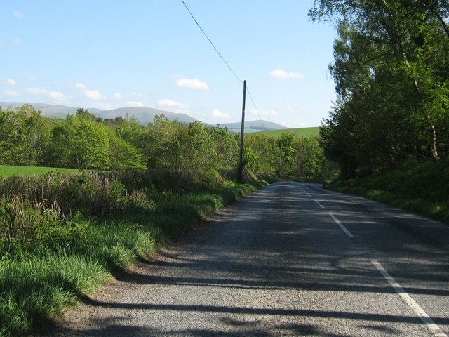
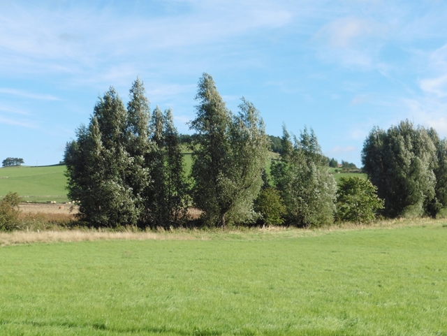
Cleuch Plantation is a picturesque woodland located in Roxburghshire, Scotland. Situated in the heart of the Scottish Borders, it spans an area of approximately 100 hectares. The plantation is known for its dense forests, diverse wildlife, and stunning natural beauty.

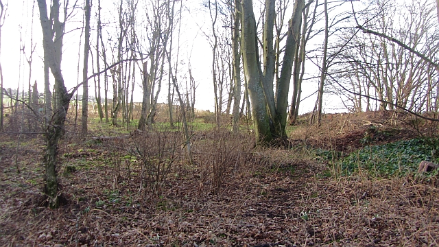
The woodland consists primarily of coniferous trees, including Scots pine, Sitka spruce, and Douglas fir. These towering trees provide a dense canopy, creating a tranquil atmosphere that is perfect for relaxation and exploration. The plantation also features several walking trails, allowing visitors to immerse themselves in the peaceful surroundings.

Cleuch Plantation is home to a wide range of wildlife species. Red squirrels, roe deer, and a variety of bird species, such as woodpeckers and owls, can be spotted throughout the woodland. The area's biodiversity is further enhanced by the presence of numerous wildflowers and plants, adding bursts of color to the landscape.

In addition to its natural beauty, Cleuch Plantation holds historical significance. The woodland was originally part of a larger estate and has been managed for timber production for many years. Today, it is managed sustainably, with periodic thinning and replanting to maintain a healthy and vibrant woodland ecosystem.

Cleuch Plantation offers a peaceful retreat for nature enthusiasts, hikers, and photographers alike. Its serene atmosphere, magnificent trees, and abundant wildlife make it a must-visit destination for those seeking a tranquil escape in the heart of Roxburghshire.

If you have any feedback on the listing, please let us know in the comments section below.

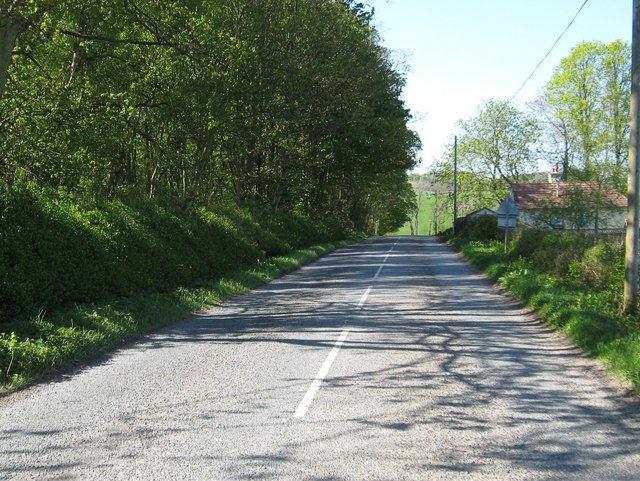
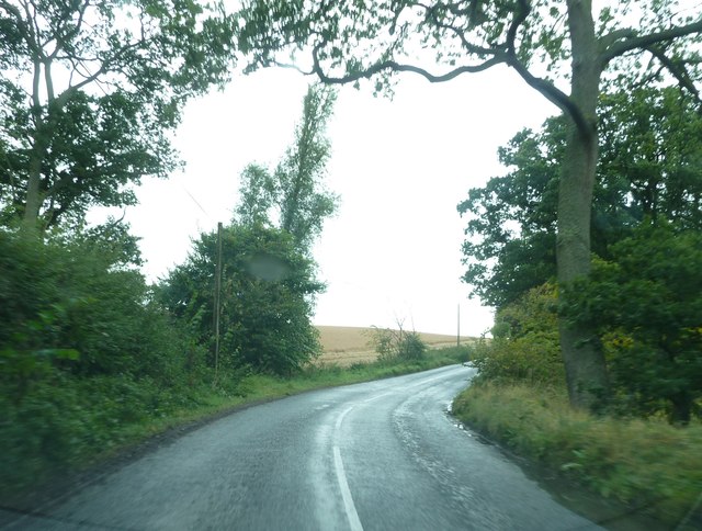
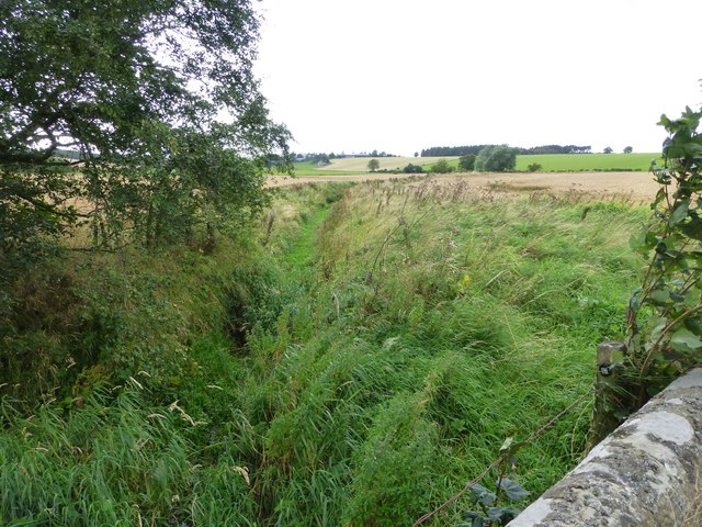
Cleuch Plantation Images

Images are sourced within 2km of 55.559216/-2.3065797 or Grid Reference NT8029. Thanks to Geograph Open Source API. All images are credited.

View over Yetholm Loch
Bungalow Looking towards Old Graden, on the Kelso/Yetholm road
Bungalow
Looking towards Old Graden, on the Kelso/Yetholm road
Poky Knowe Poky Knowe, with gorse to the right, and surroundings
Poky Knowe
Poky Knowe, with gorse to the right, and surroundings
Road past Lochside
Road past Lochside
The burn at Lochside This burn flows under the minor road from which this view is seen and becomes a feature in the gardens of 'Lochside'
The burn at Lochside
This burn flows under the minor road from which this view is seen and becomes a feature in the gardens of 'Lochside'
The B6352 heading for Yetholm Through the hills and pastures of Roxburghshire.
The B6352 heading for Yetholm
Through the hills and pastures of Roxburghshire.
The B6352 heading for Yetholm From Kelso in Roxburghshire.
The B6352 heading for Yetholm
From Kelso in Roxburghshire.
Looking back on the B6352 in Roxburghshire Near Old Graden.
Looking back on the B6352 in Roxburghshire
Near Old Graden.
Woodland, Old Graden A roadside strip, opposite the entrance to Old Graden. There were flowering snowdrops here.
Woodland, Old Graden
A roadside strip, opposite the entrance to Old Graden. There were flowering snowdrops here.
Bend on the B6352 near Thirlstane Hill
Thirlestane Burn Near Old Graden.
Thirlestane Burn
Near Old Graden.
Willow trees at Old Graden The trees mark the line of a watercourse.
Willow trees at Old Graden
The trees mark the line of a watercourse.
Hillside below Thirlestane Hill
Pond, Lochside A dammed burn beside the road.
Pond, Lochside
A dammed burn beside the road.
Lochside A pointed roof amongst the steadings.
Lochside
A pointed roof amongst the steadings.
Old Graden A substantial recently refurbished house.
North west of Thirlestane Hill.
Old Graden
A substantial recently refurbished house. North west of Thirlestane Hill.
Looking down across the pasture Towards Thirlestane Burn.
Looking down across the pasture
Towards Thirlestane Burn.
Worm's Hole The hiding place of the mythical 'Linton Worm'.
Worm's Hole
The hiding place of the mythical 'Linton Worm'.
Show me another place!

Cleuch Plantation is located at Grid Ref: NT8029 (Lat: 55.559216, Lng: -2.3065797)

Unitary Authority: The Scottish Borders

Police Authority: The Lothians and Scottish Borders

What 3 Words

///bookshelf.delved.remembers. Near Maxwellheugh, Scottish Borders

Related Wikis

Nearby Amenities

Located within 500m of 55.559216,-2.3065797
Cherrytrees
Place: hamlet
Lat/Long: 55.5568339/-2.3009569
Power: pole
Lat/Long: 55.5587517/-2.2987608
Power: pole
Lat/Long: 55.5591532/-2.2997094
Power: pole
Lat/Long: 55.5595486/-2.3006389
Power: pole
Lat/Long: 55.5599525/-2.301547
Power: pole
Lat/Long: 55.5602515/-2.3025383
Power: pole
Lat/Long: 55.560565/-2.3036511
Power: pole
Lat/Long: 55.5608881/-2.3047831
Power: pole
Lat/Long: 55.5612124/-2.3058981
Power: pole
Lat/Long: 55.5615295/-2.3070151
Power: pole
Lat/Long: 55.5616102/-2.3082409
Power: pole
Lat/Long: 55.5616886/-2.3095115
Power: pole
Lat/Long: 55.561767/-2.3107586
Power: pole
Lat/Long: 55.5618513/-2.3120654
Power: pole
Lat/Long: 55.5572132/-2.2997116
Power: pole
Lat/Long: 55.5566176/-2.300528
Power: pole
Lat/Long: 55.5561799/-2.3011228
Power: pole
Lat/Long: 55.5607289/-2.301675
Power: pole
Lat/Long: 55.5612039/-2.3008691
Power: pole
Lat/Long: 55.5616295/-2.3001294
The data included in this document is from www.openstreetmap.org. The data is made available under ODbL.

Have you been to Cleuch Plantation?

Leave your review of Cleuch Plantation below (or comments, questions and feedback).