Avenue Plantation
Wood, Forest in Aberdeenshire
Scotland
Avenue Plantation

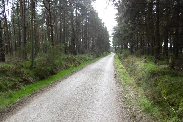
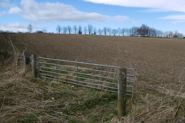
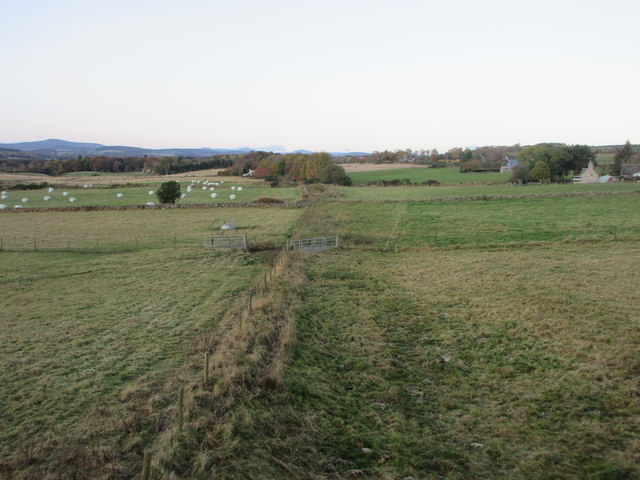
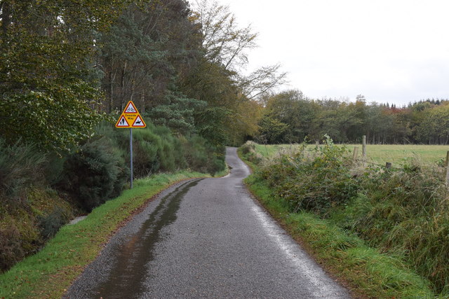
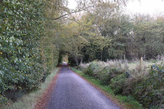
Avenue Plantation, located in Aberdeenshire, Scotland, is a stunning woodland area known for its majestic trees and picturesque landscapes. Covering an expansive area, the plantation is renowned for its dense forest and diverse range of tree species, offering visitors a tranquil and immersive experience in nature.
The plantation predominantly features a variety of deciduous trees, including oak, beech, birch, and maple, which beautifully change colors with the seasons, creating a vibrant and ever-changing environment. In addition to these, coniferous trees such as pine and spruce can also be found, adding to the plantation's rich biodiversity.
Avenue Plantation is a popular destination for nature lovers, hikers, and photographers alike. Its well-maintained trails allow visitors to explore the woodland at their own pace, offering glimpses of wildlife like deer, squirrels, and a vast array of bird species. The serene atmosphere and quiet surroundings make it an excellent spot for those seeking solitude and a break from the hustle and bustle of everyday life.
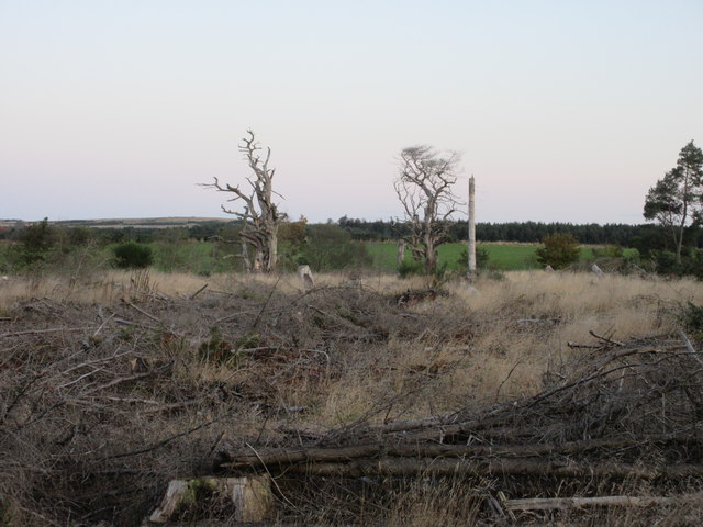
The plantation is also of historical significance, with some trees dating back centuries, providing a glimpse into the region's past. The management of the plantation ensures the preservation of these ancient trees, making it an important site for conservation efforts.
Overall, Avenue Plantation in Aberdeenshire is a haven for nature enthusiasts, offering a captivating blend of natural beauty, tranquility, and historical value. Whether exploring the trails or simply enjoying the serenity, visitors are sure to be captivated by the charm and splendor of this woodland retreat.
If you have any feedback on the listing, please let us know in the comments section below.
Avenue Plantation Images
Images are sourced within 2km of 57.095554/-2.322557 or Grid Reference NJ8000. Thanks to Geograph Open Source API. All images are credited.


Avenue Plantation is located at Grid Ref: NJ8000 (Lat: 57.095554, Lng: -2.322557)
Unitary Authority: Aberdeenshire
Police Authority: North East
What 3 Words
///anchorman.bedding.ratio. Near Peterculter, Aberdeen
Nearby Locations
Related Wikis

Drum Castle
Drum Castle is a castle near Drumoak in Aberdeenshire, Scotland. For centuries it was the seat of the chief of Clan Irvine. The place-name Drum is derived...

Drum railway station
Drum railway station was opened in January 1854 by the Deeside Railway and served the rural area around Drum Castle estate. The Deeside Railway was taken...

Drumoak
Drumoak (, Scottish Gaelic: Druim M'Aodhaig, lit. 'the ridge of St Aodhag') is a village situated between Peterculter and Banchory in North Deeside, Aberdeenshire...
Coalford
Coalford is a village in Drumoak, Aberdeenshire, Scotland. It is slightly north of the River Dee and about 1 mile (1.6 km) west of Peterculter. The population...
Leuchar Burn
Leuchar Burn is a stream that rises in the Loch of Skene, in Aberdeenshire, Scotland Initially near the headwaters Leuchar Burn flows in a southerly course...

Park railway station (Deeside)
Park railway station was opened in September 1853 by the Deeside Railway and served the rural area around the Park estate, Nether Sunnyside, West Redford...
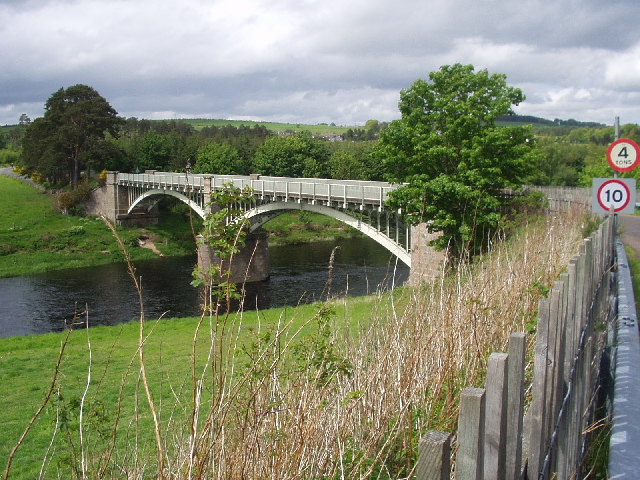
Park Bridge, Aberdeenshire
Park Bridge is a road bridge in Aberdeenshire, Scotland which crosses the River Dee. It is currently open to pedestrians and cyclists, and it also carried...

Normandykes
Normandykes (Grid Reference: NO 830994) is the site of a Roman marching camp 1 mile (1.6 km) to the southwest of Peterculter, City of Aberdeen, Scotland...
Related Videos

Peterculter Scotland Walking Tour 4K, March 2023
Peterculter Scotland Walking Tour 4K, March 2023. Peterculter also known as Culter (Scots: Couter), is a suburb of Aberdeen, ...
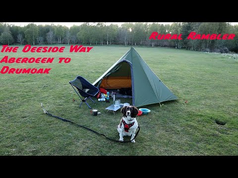
Walking the Deeside Way from Aberdeen to Drumoak for a night in the Luxe Hex Peak v4
Took Brenna for a walk along part of the Deeside Way to Drumoak. First time for ages with a loaded backpack and the feet ...
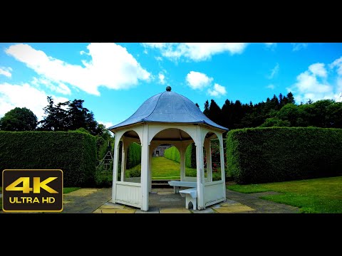
4K Walk in Drum Castle Rose Garden, Scotland | Nature Sounds ASMR | Scottish Countryside
4K walk in Drum Castle Rose Garden, Banchory, Scotland with no added music and nature sounds ASMR. The video was ...
![4K Drumhill Trail Walk, Banchory | Nature Sounds ASMR | Scottish Countryside [short preview]](https://i.ytimg.com/vi/BxyIsaFzZ5o/hqdefault.jpg)
4K Drumhill Trail Walk, Banchory | Nature Sounds ASMR | Scottish Countryside [short preview]
Short preview 4K Drumhill Trail, Banchory, Scotland with no added music and nature sounds ASMR. The video was recorded on ...
Nearby Amenities
Located within 500m of 57.095554,-2.322557Have you been to Avenue Plantation?
Leave your review of Avenue Plantation below (or comments, questions and feedback).