Craigie Daff Wood
Wood, Forest in Kincardineshire
Scotland
Craigie Daff Wood
The requested URL returned error: 429 Too Many Requests
If you have any feedback on the listing, please let us know in the comments section below.
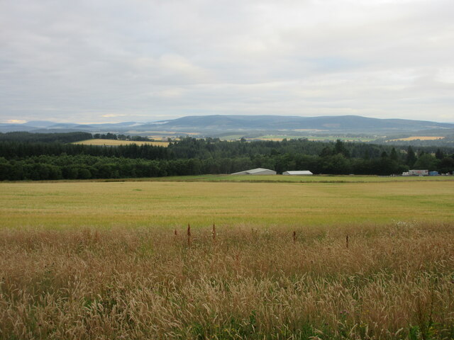
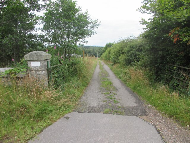
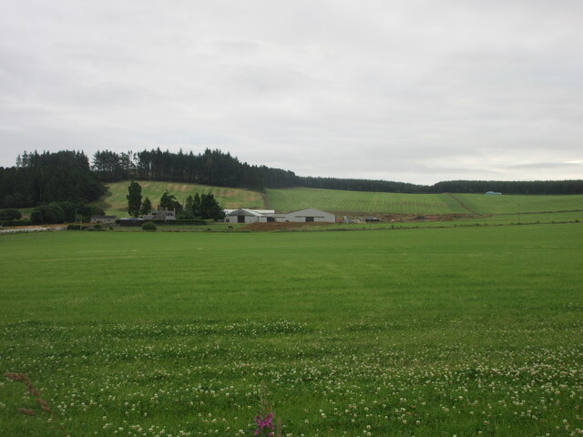
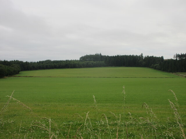
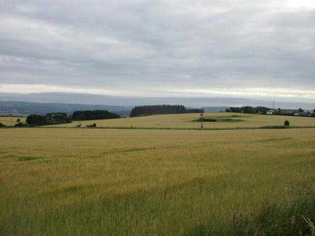
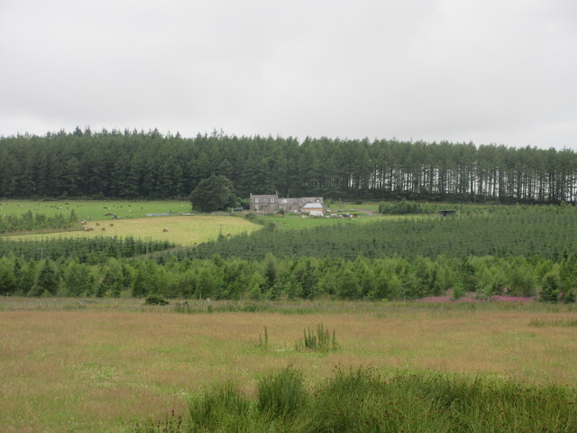
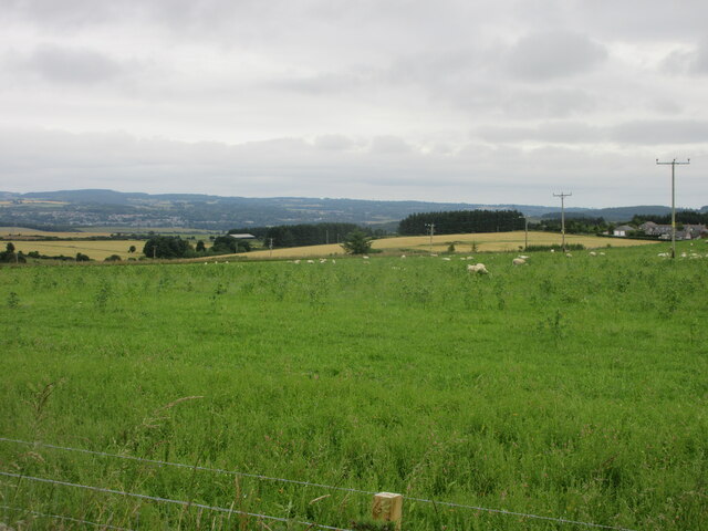
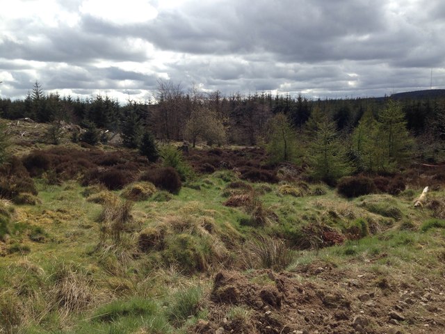
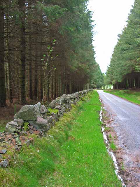
Craigie Daff Wood Images
Images are sourced within 2km of 57.042394/-2.3252929 or Grid Reference NO8094. Thanks to Geograph Open Source API. All images are credited.


Craigie Daff Wood is located at Grid Ref: NO8094 (Lat: 57.042394, Lng: -2.3252929)
Unitary Authority: Aberdeenshire
Police Authority: North East
What 3 Words
///dumpling.thrones.mush. Near Peterculter, Aberdeen
Nearby Locations
Related Wikis

Kincardine and Mearns
Kincardine and Mearns is one of six area committees of the Aberdeenshire council area in Scotland. It has a population of 38,506 (2001 Census). There...
Durris Forest
Durris Forest is a chiefly coniferous forest south of the River Dee approximately three kilometres west of Netherley in Aberdeenshire, Scotland. The A957...

Balfour, Aberdeenshire
Balfour (Scottish Gaelic: Baile Phùir), Aberdeenshire is a settlement on Royal Deeside in Aberdeenshire, Scotland. Balfour lies south of the River Dee...

Borrowfield
Borrowfield is a settlement in Aberdeenshire, Scotland in proximity to Netherley. == History == Roman legions marched from Raedykes to Normandykes Roman...
Nearby Amenities
Located within 500m of 57.042394,-2.3252929Have you been to Craigie Daff Wood?
Leave your review of Craigie Daff Wood below (or comments, questions and feedback).