Denside Wood

Wood, Forest in Kincardineshire

Scotland

Denside Wood

Field near Nibbetstane Looking north-west, downhill over a field near Nibbetstane, Durris.
Field near Nibbetstane Credit: Scott Cormie

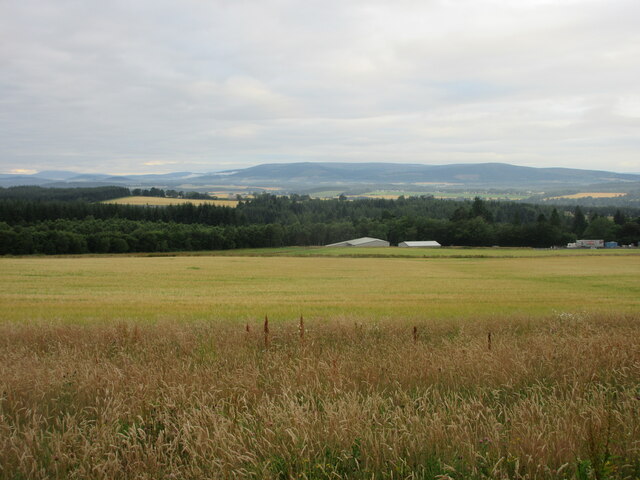
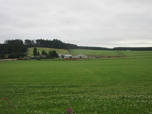
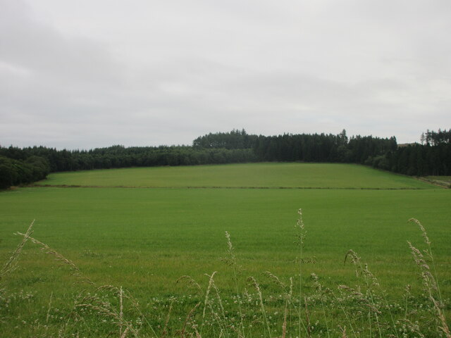
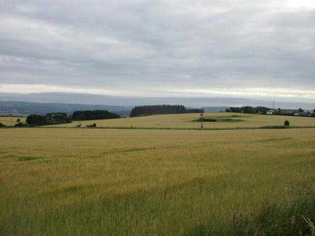
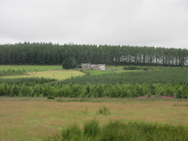
Denside Wood is a picturesque forest located in Kincardineshire, Scotland. Spanning approximately 50 hectares, it is nestled in the rolling hills and lush countryside of this beautiful region. The wood is known for its diverse range of tree species, including oak, beech, birch, and Scots pine, creating a rich and varied ecosystem.

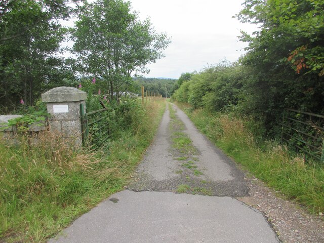
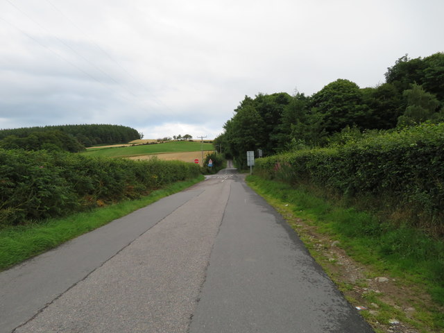
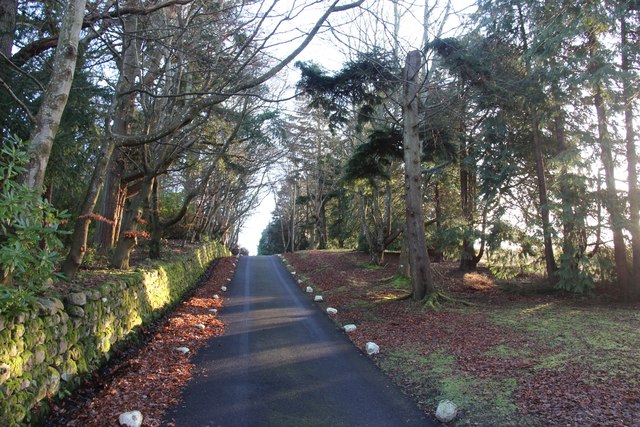
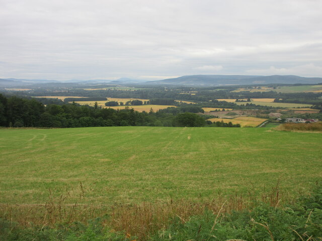
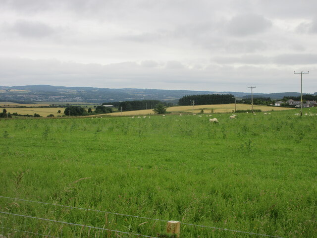
The woodland is a popular destination for nature enthusiasts and hikers, offering numerous trails that wind through its enchanting scenery. These pathways are well-maintained and provide visitors with the opportunity to explore the wood at their own pace. Along the trails, one can discover an abundance of wildlife, such as red squirrels, roe deer, and various bird species. The peaceful atmosphere and tranquil surroundings make Denside Wood an ideal spot for birdwatching and wildlife photography.

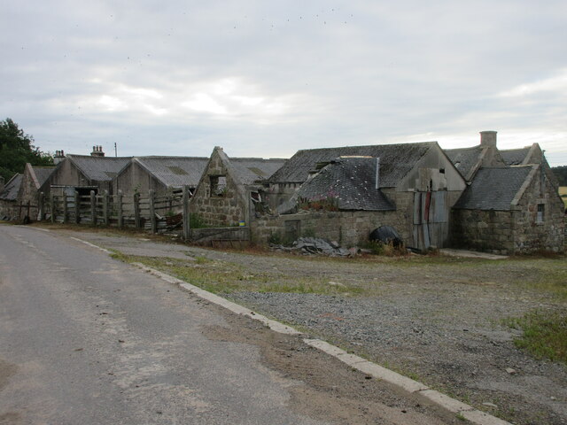
Denside Wood also holds historical significance, with remnants of old structures and stone walls scattered throughout the area. These remnants offer glimpses into the wood's past, adding an extra layer of intrigue and charm to the overall experience.

For those seeking a quiet retreat or a break from the bustle of everyday life, Denside Wood provides a serene and calming environment. The forest offers a sense of solitude and tranquility, allowing visitors to immerse themselves in nature and all its wonders.

Overall, Denside Wood in Kincardineshire is a captivating destination that showcases the natural beauty and rich biodiversity of the Scottish countryside. It is a place where visitors can reconnect with nature, explore its trails, and appreciate the peacefulness of a woodland retreat.

If you have any feedback on the listing, please let us know in the comments section below.

Denside Wood Images

Images are sourced within 2km of 57.050701/-2.3294205 or Grid Reference NO8095. Thanks to Geograph Open Source API. All images are credited.

Field near Nibbetstane Looking north-west, downhill over a field near Nibbetstane, Durris.
Field near Nibbetstane
Looking north-west, downhill over a field near Nibbetstane, Durris.
Stables Entrance Roadway to the stables at Durris.
Stables Entrance
Roadway to the stables at Durris.
Durris School Durris Primary School at the Woodlands of Durris.
Durris School
Durris Primary School at the Woodlands of Durris.
Crossroads Ahead The road from Drumoak approaching a crossroad as the B9077 crosses from left to right.
Crossroads Ahead
The road from Drumoak approaching a crossroad as the B9077 crosses from left to right.
A private driveway in Durris Estate
Bogenraith Farm Looking east to farm sheds at Bogenraith.
Bogenraith Farm
Looking east to farm sheds at Bogenraith.
Ashentilly Wood from the west Looking eastwards towards Ashentilly Wood.
Ashentilly Wood from the west
Looking eastwards towards Ashentilly Wood.
Green field near Ashentilly Green field above the valley of the Dee, near Ashentilly.
Green field near Ashentilly
Green field above the valley of the Dee, near Ashentilly.
Upper Ashentilly Ruined steading at Upper Ashentilly.
Upper Ashentilly
Ruined steading at Upper Ashentilly.
Barley field near Corsehill Fields of barley north of the C5K road near Corsehill.
Barley field near Corsehill
Fields of barley north of the C5K road near Corsehill.
West Brachmont West Brachmont viewed from the road to the south-east across a young plantation.
West Brachmont
West Brachmont viewed from the road to the south-east across a young plantation.
Pastureland near East Brachmont Pastureland occupied by sheep, near East Brachmont.
Pastureland near East Brachmont
Pastureland occupied by sheep, near East Brachmont.
Elsick Mounth Track The Elsick Mounth Trail heading south towards Bruntyairds Wood.
Elsick Mounth Track
The Elsick Mounth Trail heading south towards Bruntyairds Wood.
Ashentilly Wood Track Track heading west to Ashentilly and Warren Woods.
Ashentilly Wood Track
Track heading west to Ashentilly and Warren Woods.
Endless grassy field beyond a foreground fringe of gorse
Warren Wood The track which goes south from the car park.
Warren Wood
The track which goes south from the car park.
Fields near Upper Ashentilly The fields overlook the valley of the River Dee.
Fields near Upper Ashentilly
The fields overlook the valley of the River Dee.
Entering Denside Travelling west on a minor road to Woodlands of Durris.
Entering Denside
Travelling west on a minor road to Woodlands of Durris.
Show me another place!

Denside Wood is located at Grid Ref: NO8095 (Lat: 57.050701, Lng: -2.3294205)

Unitary Authority: Aberdeenshire

Police Authority: North East

What 3 Words

///locals.flushed.narrating. Near Peterculter, Aberdeen

Nearby Locations

Denside Wood

Related Wikis

Balfour, Aberdeenshire

Balfour (Scottish Gaelic: Baile Phùir), Aberdeenshire is a settlement on Royal Deeside in Aberdeenshire, Scotland. Balfour lies south of the River Dee...

Kincardine and Mearns

Kincardine and Mearns is one of six area committees of the Aberdeenshire council area in Scotland. It has a population of 38,506 (2001 Census). There...

Durris Castle

Durris Castle or the House of Dores was an early royal residence on the southern bank of the River Dee in Aberdeenshire, Scotland. The castle controlled...

Park Bridge, Aberdeenshire

Park Bridge is a road bridge in Aberdeenshire, Scotland which crosses the River Dee. It is currently open to pedestrians and cyclists, and it also carried...

Nearby Amenities

Located within 500m of 57.050701,-2.3294205
Power: pole
Lat/Long: 57.0479122/-2.3320271
Power: pole
Lat/Long: 57.0483233/-2.3311938
Power: pole
Lat/Long: 57.0487437/-2.3303548
Power: pole
Lat/Long: 57.0487314/-2.3290736
Power: pole
Lat/Long: 57.048718/-2.3279738
Power: pole
Lat/Long: 57.0488927/-2.326925
Power: pole
Lat/Long: 57.0490613/-2.3258498
Power: pole
Lat/Long: 57.0492412/-2.3244628
Power: pole
Lat/Long: 57.0493604/-2.3237258
Power: pole
Lat/Long: 57.0494663/-2.3230267
Power: pole
Lat/Long: 57.0480057/-2.3232326
Power: pole
Lat/Long: 57.0487365/-2.3231287
Power: pole
Lat/Long: 57.0503121/-2.3230153
Power: pole
Lat/Long: 57.0509627/-2.3230021
Power: pole
Lat/Long: 57.0517695/-2.3229794
Power: pole
Lat/Long: 57.0520388/-2.3227375
Power: pole
Lat/Long: 57.0523461/-2.3224371
Power: pole
Lat/Long: 57.0526472/-2.3237485
Power: pole
Lat/Long: 57.0529524/-2.3250335
Power: pole
Lat/Long: 57.0532505/-2.326343
Power: pole
Lat/Long: 57.0534103/-2.3270422
Power: pole
Lat/Long: 57.053733/-2.3284226
Power: pole
Lat/Long: 57.0540336/-2.3297746
Power: pole
Lat/Long: 57.0545628/-2.3303018
Power: pole
Lat/Long: 57.0551054/-2.3308687
The data included in this document is from www.openstreetmap.org. The data is made available under ODbL.

Have you been to Denside Wood?

Leave your review of Denside Wood below (or comments, questions and feedback).